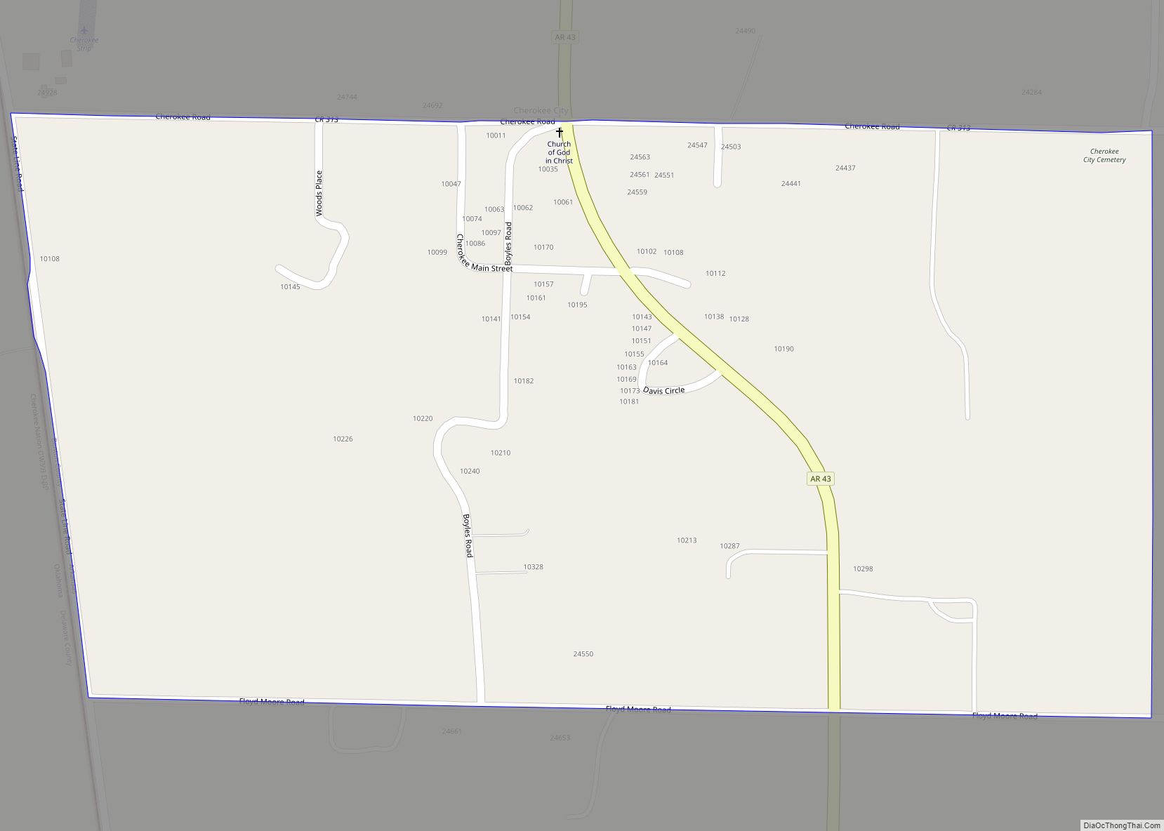
Cherokee City is an unincorporated census-designated place (CDP) in Benton County, Arkansas, United States. Per the 2020 census, the population was 73. It is the location of (or is the nearest community to) Coon Creek Bridge, which is located on Cty Rd. 24 and is listed on the National Register of Historic Places. The community ... Read more
Arkansas Cities and Places
Charleston is a city in Franklin County, Arkansas, United States, and along with Ozark is one of the two county seats of Franklin County. It is part of the Fort Smith, Arkansas–Oklahoma Metropolitan Statistical Area. The population was 2,494 at the 2010 census, down from 2,965 in 2000. Charleston city overview: Name: Charleston city LSAD ... Read more
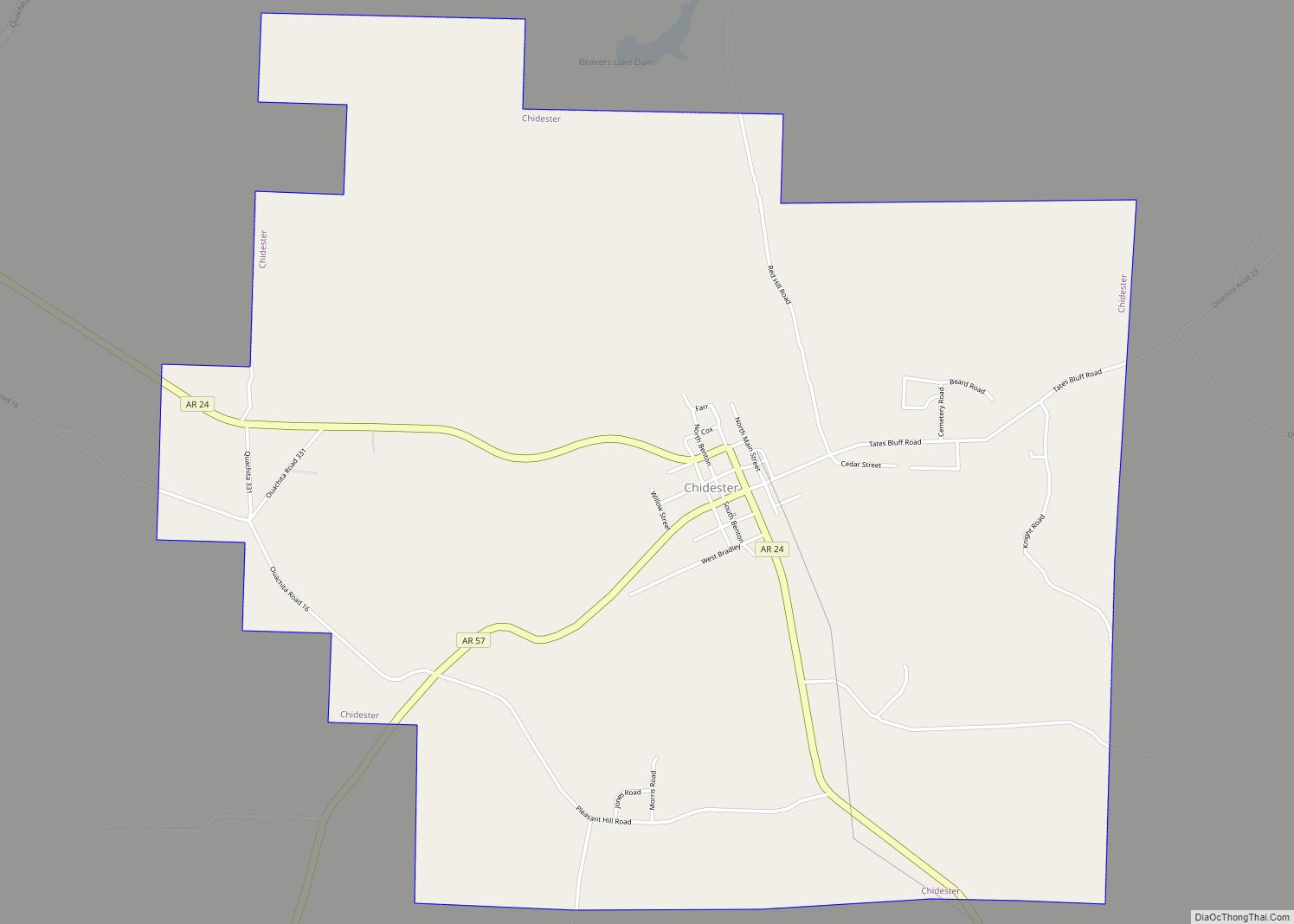
Chidester is a city in Ouachita County, Arkansas, United States. The population was 335 at the 2000 census. It is part of the Camden Micropolitan Statistical Area. Chidester city overview: Name: Chidester city LSAD Code: 25 LSAD Description: city (suffix) State: Arkansas County: Ouachita County Elevation: 236 ft (72 m) Total Area: 5.31 sq mi (13.76 km²) Land Area: 5.31 sq mi ... Read more
Chester is a town in Crawford County, Arkansas, United States. It is part of the Fort Smith, Arkansas–Oklahoma Metropolitan Statistical Area. As of the 2020 Census the population was 144. Chester town overview: Name: Chester town LSAD Code: 43 LSAD Description: town (suffix) State: Arkansas County: Crawford County Elevation: 883 ft (269 m) Total Area: 0.51 sq mi (1.32 km²) ... Read more
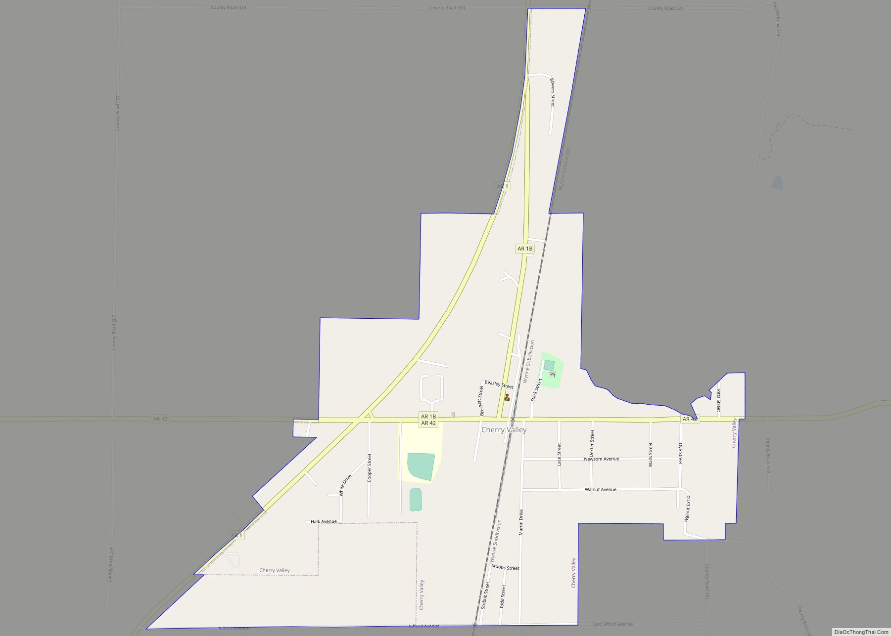
Cherry Valley is a city in Cross County, Arkansas, United States. The population was 651 at the 2010 census. Cherry Valley city overview: Name: Cherry Valley city LSAD Code: 25 LSAD Description: city (suffix) State: Arkansas County: Cross County Elevation: 282 ft (86 m) Total Area: 0.77 sq mi (1.98 km²) Land Area: 0.77 sq mi (1.98 km²) Water Area: 0.00 sq mi (0.00 km²) Total ... Read more
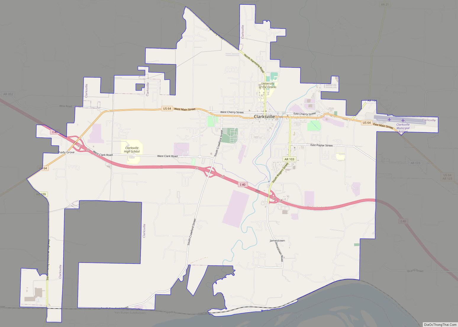
Clarksville is a city in Johnson County, Arkansas, United States. As of the 2010 census the population was 9,178, up from 7,719 in 2000. As of 2018, the estimated population was 9,743. The city is the county seat of Johnson County. It is nestled between the Arkansas River and the foothills of the Ozark Mountains, ... Read more
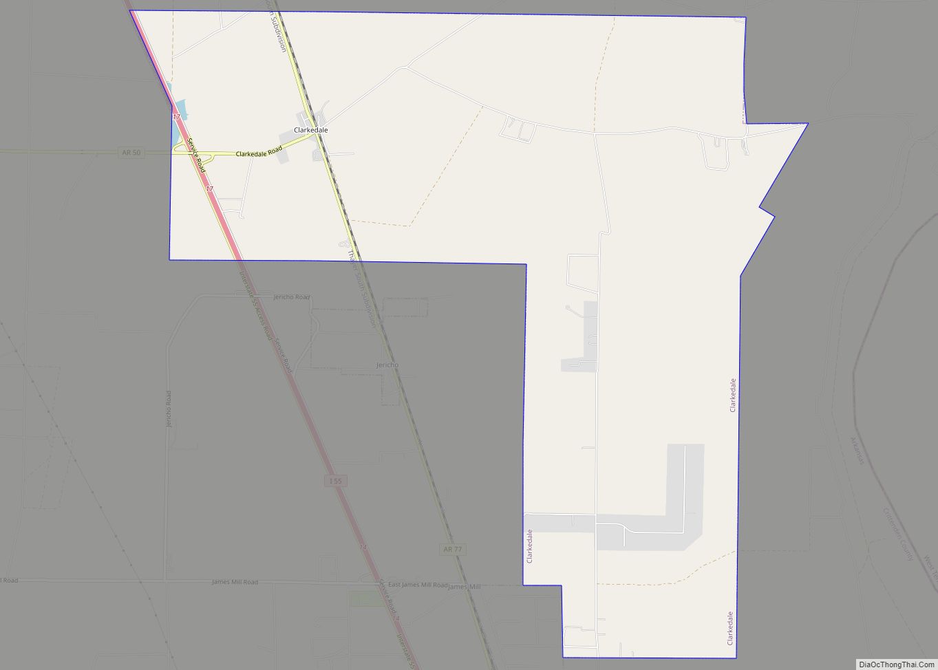
Clarkedale is a town in Crittenden County, Arkansas, United States. Per the 2020 census, the population was 336. Clarkedale incorporated on November 15, 2000. Clarkedale city overview: Name: Clarkedale city LSAD Code: 25 LSAD Description: city (suffix) State: Arkansas County: Crittenden County Elevation: 230 ft (70 m) Total Area: 11.44 sq mi (29.62 km²) Land Area: 11.44 sq mi (29.62 km²) Water Area: ... Read more
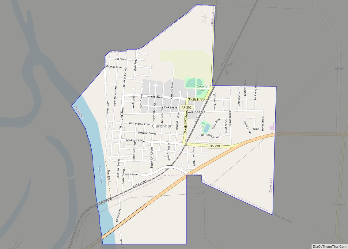
Clarendon is a city in, and the county seat of, Monroe County, Arkansas, United States. Located in the Arkansas Delta, the city’s position on the White River at the mouth of the Cache River has defined the community since first incorporating in 1859. Although the river has brought devastation and disaster to the city occasionally ... Read more
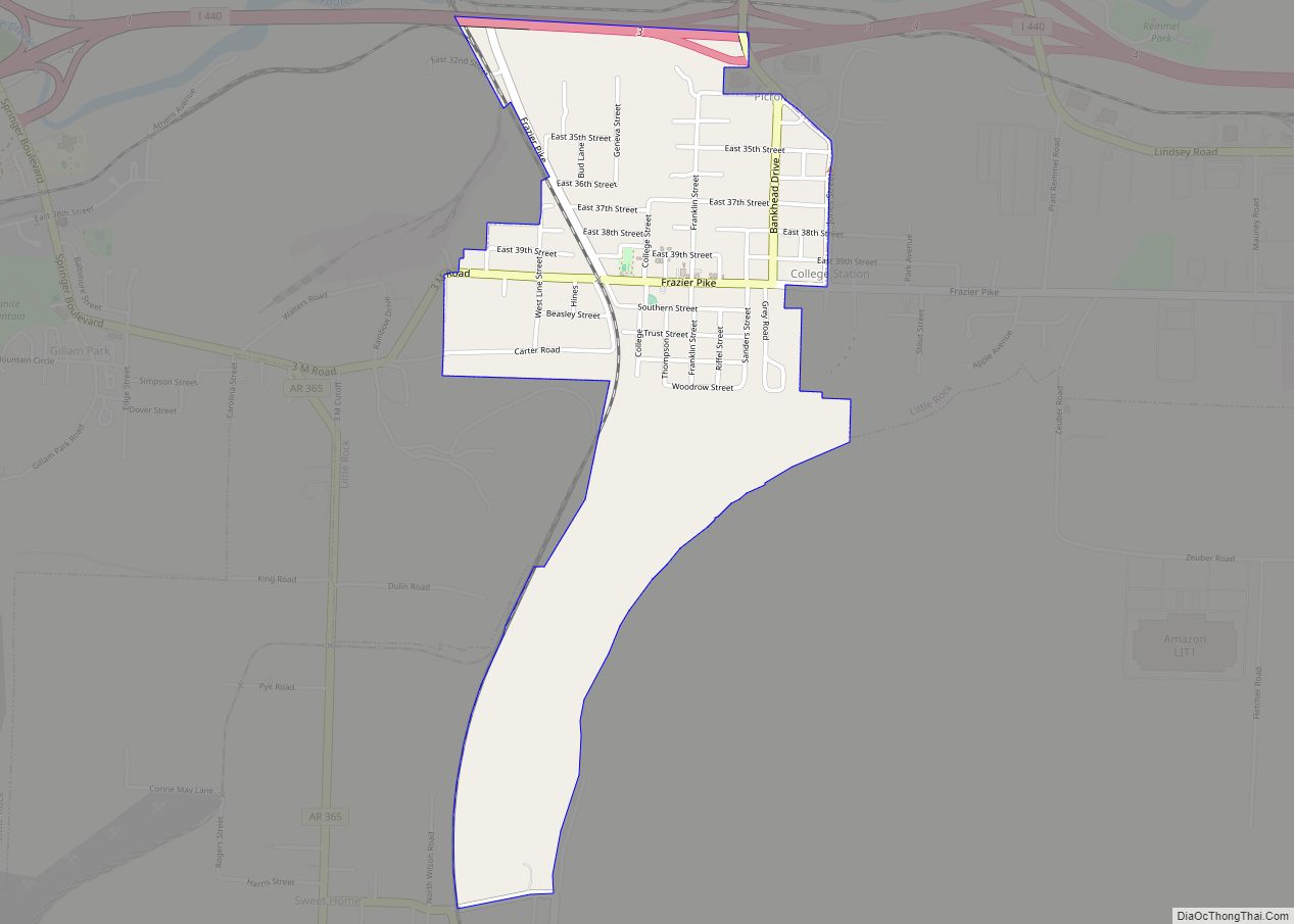
College Station is a census-designated place (CDP) in Pulaski County, Arkansas, United States. The population was 600 at the 2010 census. It is part of the Little Rock–North Little Rock–Conway Metropolitan Statistical Area. College Station CDP overview: Name: College Station CDP LSAD Code: 57 LSAD Description: CDP (suffix) State: Arkansas County: Pulaski County Elevation: 318 ft ... Read more
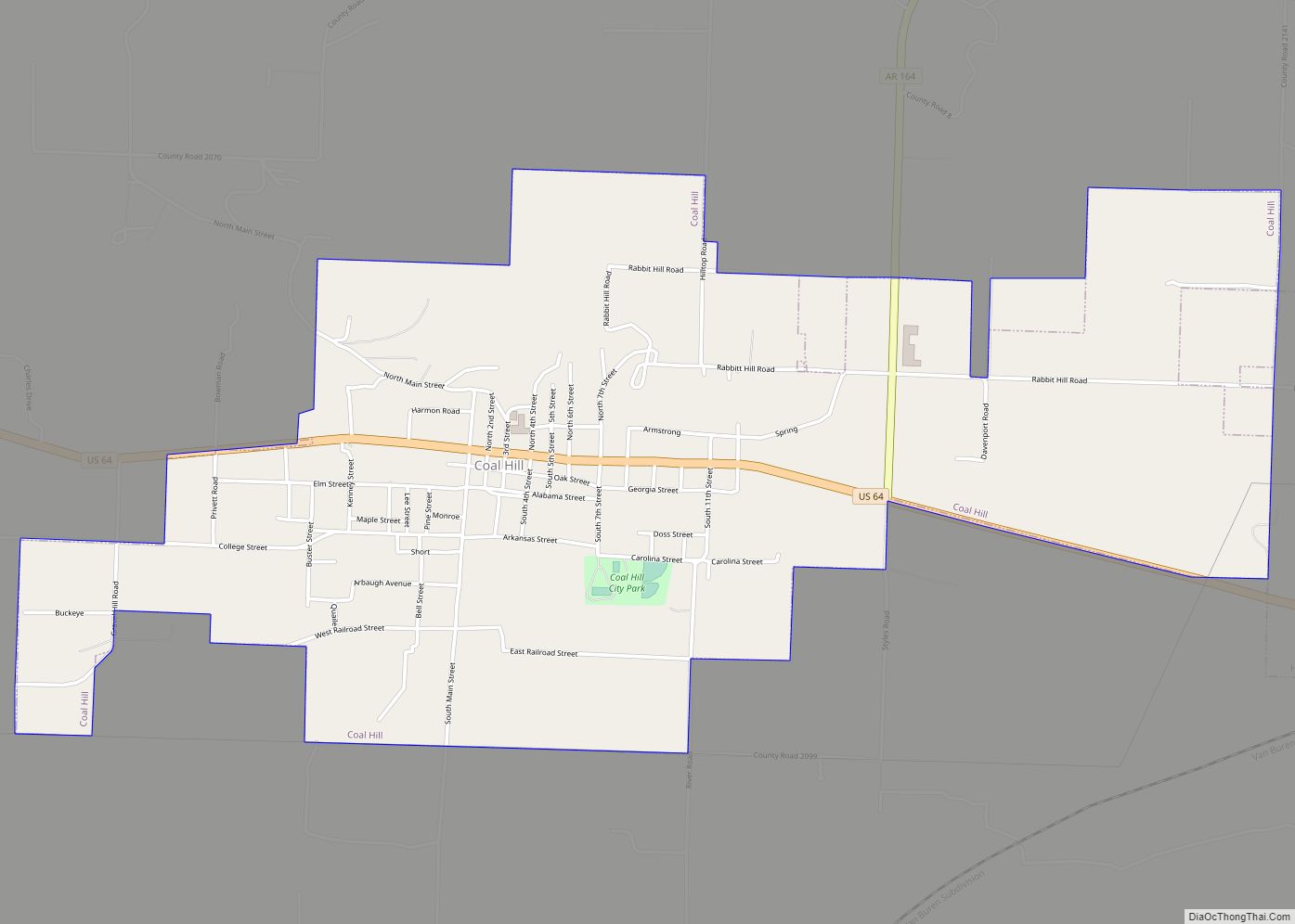
Coal Hill is a city in Johnson County, Arkansas, United States. The population was 1,012 at the 2010 census. Coal Hill city overview: Name: Coal Hill city LSAD Code: 25 LSAD Description: city (suffix) State: Arkansas County: Johnson County Elevation: 486 ft (148 m) Total Area: 2.83 sq mi (7.33 km²) Land Area: 2.80 sq mi (7.26 km²) Water Area: 0.03 sq mi (0.07 km²) Total ... Read more
Clinton is the county seat of Van Buren County, Arkansas, United States. The population was 2,602 at the 2010 census, making it the most populous city in the county (reclaiming the distinction from the resort community of Fairfield Bay). The city was named for DeWitt Clinton, the New York governor who built the Erie Canal; ... Read more
Conway is a city in the U.S. state of Arkansas and the county seat of Faulkner County, located in the state’s most populous Metropolitan Statistical Area, Central Arkansas. Although considered a suburb of Little Rock, Conway is unusual in that the majority of its residents do not commute out of the city to work. The ... Read more
