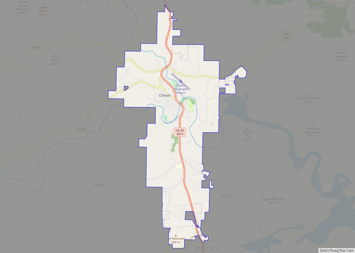
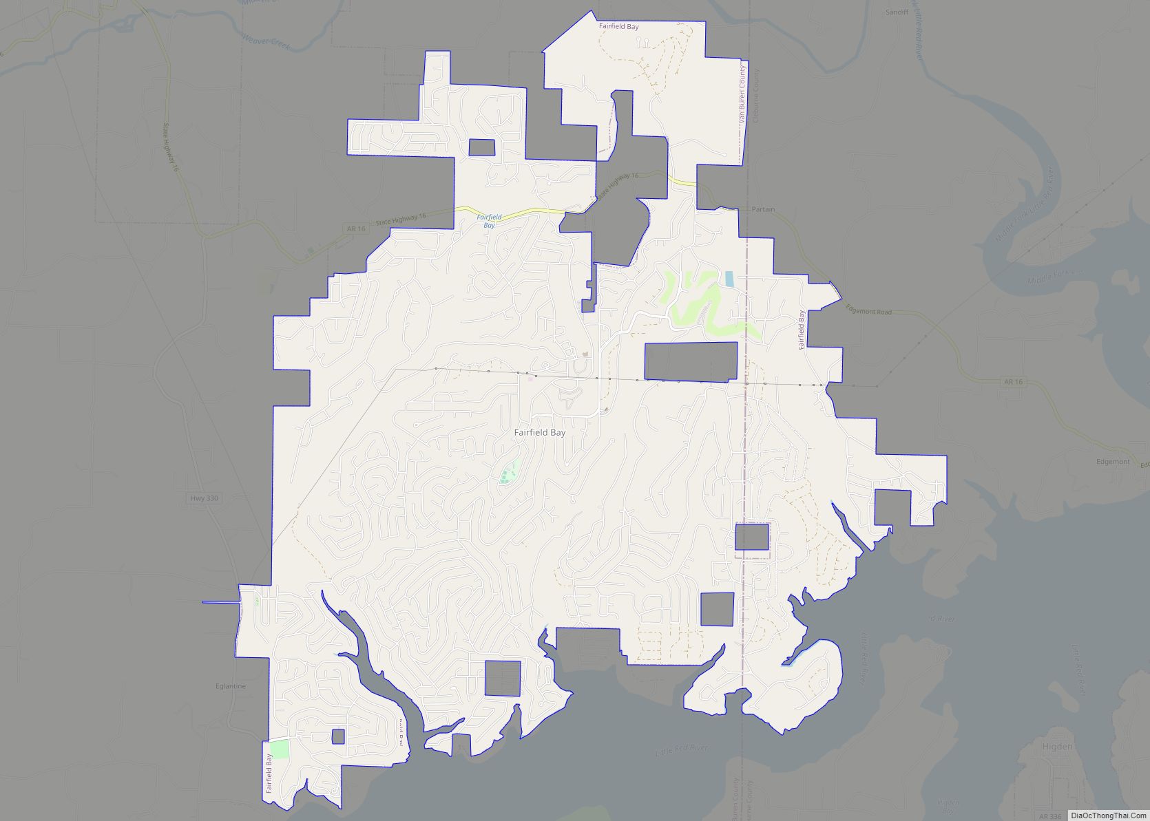
Clinton is the county seat of Van Buren County, Arkansas, United States. The population was 2,602 at the 2010 census, making it the most populous city in the county (reclaiming the distinction from the resort community of Fairfield Bay). The city was named for DeWitt Clinton, the New York governor who built the Erie Canal; he had also been a U.S. Senator from New York.
| Name: | Clinton city |
|---|---|
| LSAD Code: | 25 |
| LSAD Description: | city (suffix) |
| State: | Arkansas |
| County: | Van Buren County |
| Elevation: | 610 ft (190 m) |
| Total Area: | 13.75 sq mi (35.61 km²) |
| Land Area: | 13.45 sq mi (34.85 km²) |
| Water Area: | 0.30 sq mi (0.77 km²) |
| Total Population: | 2,509 |
| Population Density: | 186.49/sq mi (72.00/km²) |
| ZIP code: | 72031 |
| Area code: | 501 |
| FIPS code: | 0514260 |
| GNISfeature ID: | 2404076 |
| Website: | www.clintonark.com |
Online Interactive Map
Click on ![]() to view map in "full screen" mode.
to view map in "full screen" mode.
Clinton location map. Where is Clinton city?
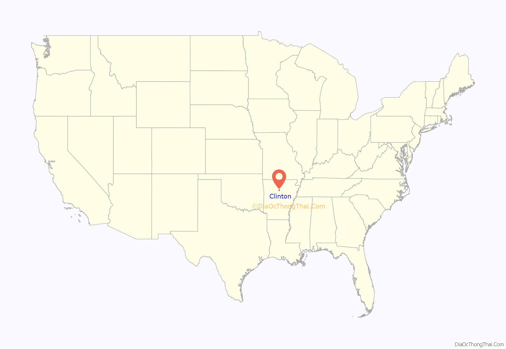
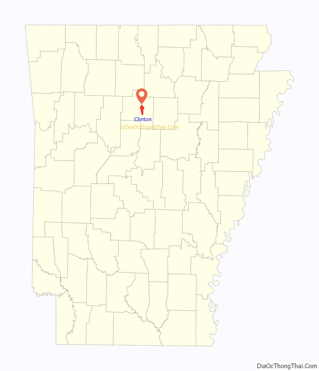
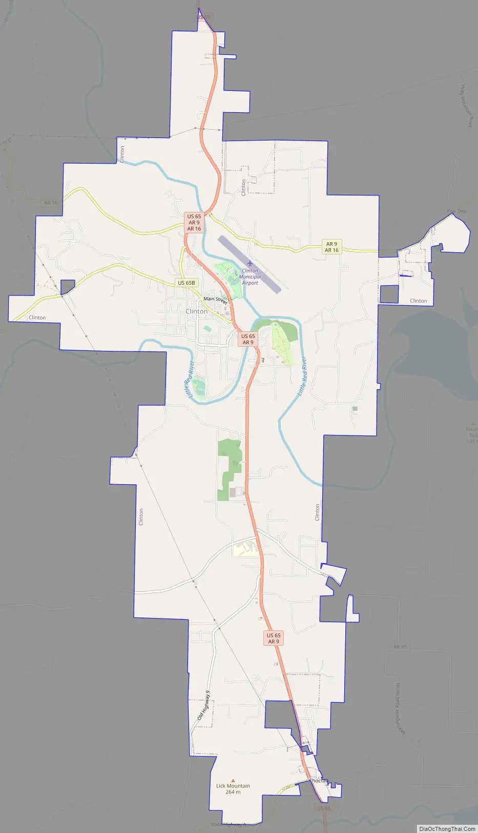
Clinton Road Map
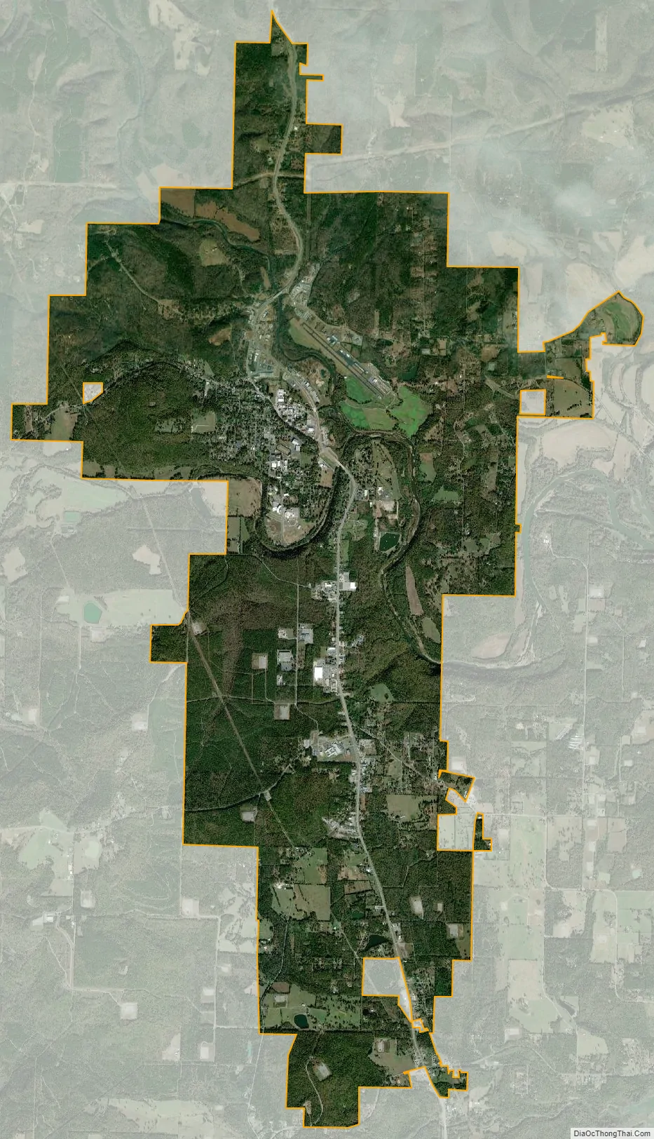
Clinton city Satellite Map
Geography
According to the United States Census Bureau, the city has a total area of 11.6 square miles (30 km), of which 11.4 square miles (30 km) is land and 0.2 square miles (0.52 km) (1.64%) is water.
The City of Clinton is situated on the shore of the Archey Fork, a tributary of the Upper Little Red River which flows into Greers Ferry Lake. This body of water is known for its rich and diverse fish habitat and recreational uses. A channelization project in 1982 following a major flood event has recently been re-engineered by The Nature Conservancy in cooperation with city officials and corporate sponsors. The multi-phase restoration project has witnessed the installation of a cantilevered stream bed, bank stabilization, and habitat regeneration. The restoration is now part of the city’s historic downtown park and trail system.
See also
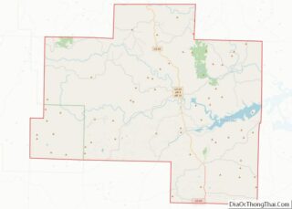
Map of Arkansas State and its subdivision:- Arkansas
- Ashley
- Baxter
- Benton
- Boone
- Bradley
- Calhoun
- Carroll
- Chicot
- Clark
- Clay
- Cleburne
- Cleveland
- Columbia
- Conway
- Craighead
- Crawford
- Crittenden
- Cross
- Dallas
- Desha
- Drew
- Faulkner
- Franklin
- Fulton
- Garland
- Grant
- Greene
- Hempstead
- Hot Spring
- Howard
- Independence
- Izard
- Jackson
- Jefferson
- Johnson
- Lafayette
- Lawrence
- Lee
- Lincoln
- Little River
- Logan
- Lonoke
- Madison
- Marion
- Miller
- Mississippi
- Monroe
- Montgomery
- Nevada
- Newton
- Ouachita
- Perry
- Phillips
- Pike
- Poinsett
- Polk
- Pope
- Prairie
- Pulaski
- Randolph
- Saint Francis
- Saline
- Scott
- Searcy
- Sebastian
- Sevier
- Sharp
- Stone
- Union
- Van Buren
- Washington
- White
- Woodruff
- Yell
- Alabama
- Alaska
- Arizona
- Arkansas
- California
- Colorado
- Connecticut
- Delaware
- District of Columbia
- Florida
- Georgia
- Hawaii
- Idaho
- Illinois
- Indiana
- Iowa
- Kansas
- Kentucky
- Louisiana
- Maine
- Maryland
- Massachusetts
- Michigan
- Minnesota
- Mississippi
- Missouri
- Montana
- Nebraska
- Nevada
- New Hampshire
- New Jersey
- New Mexico
- New York
- North Carolina
- North Dakota
- Ohio
- Oklahoma
- Oregon
- Pennsylvania
- Rhode Island
- South Carolina
- South Dakota
- Tennessee
- Texas
- Utah
- Vermont
- Virginia
- Washington
- West Virginia
- Wisconsin
- Wyoming