Clarendon is a city in, and the county seat of, Monroe County, Arkansas, United States. Located in the Arkansas Delta, the city’s position on the White River at the mouth of the Cache River has defined the community since first incorporating in 1859. Although the river has brought devastation and disaster to the city occasionally throughout history, it has also provided economic opportunities, transportation, recreation and tourism to the city.
Once home to a variety of industries, today Clarendon’s economy is largely based on agriculture. Similar to many Delta communities, the city’s population has been dwindling since mechanization on the farm reduced the number of agricultural-related jobs in the area. At the 2020 census, the population was 1,526, the lowest value recorded since 1890.
| Name: | Clarendon city |
|---|---|
| LSAD Code: | 25 |
| LSAD Description: | city (suffix) |
| State: | Arkansas |
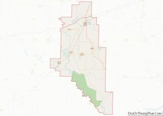
| County: | Monroe County |
| Elevation: | 174 ft (53 m) |
| Total Area: | 1.93 sq mi (5.00 km²) |
| Land Area: | 1.75 sq mi (4.53 km²) |
| Water Area: | 0.18 sq mi (0.46 km²) |
| Total Population: | 1,526 |
| Population Density: | 872.50/sq mi (336.84/km²) |
| ZIP code: | 72029 |
| Area code: | 870 |
| FIPS code: | 0513990 |
| GNISfeature ID: | 0076618 |
| Website: | www.cityofclarendonar.com |
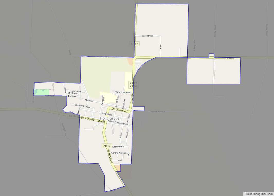
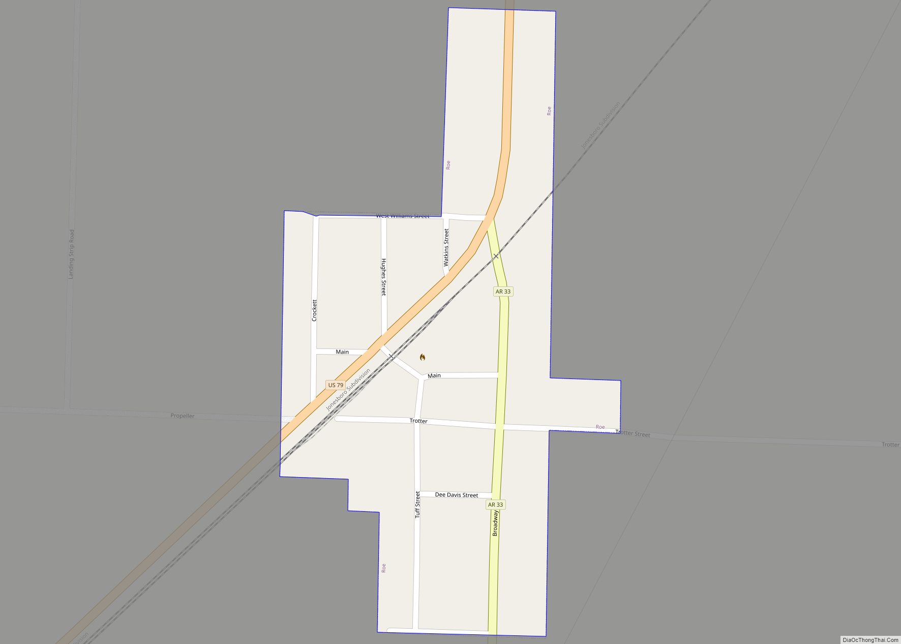
Online Interactive Map
Click on ![]() to view map in "full screen" mode.
to view map in "full screen" mode.
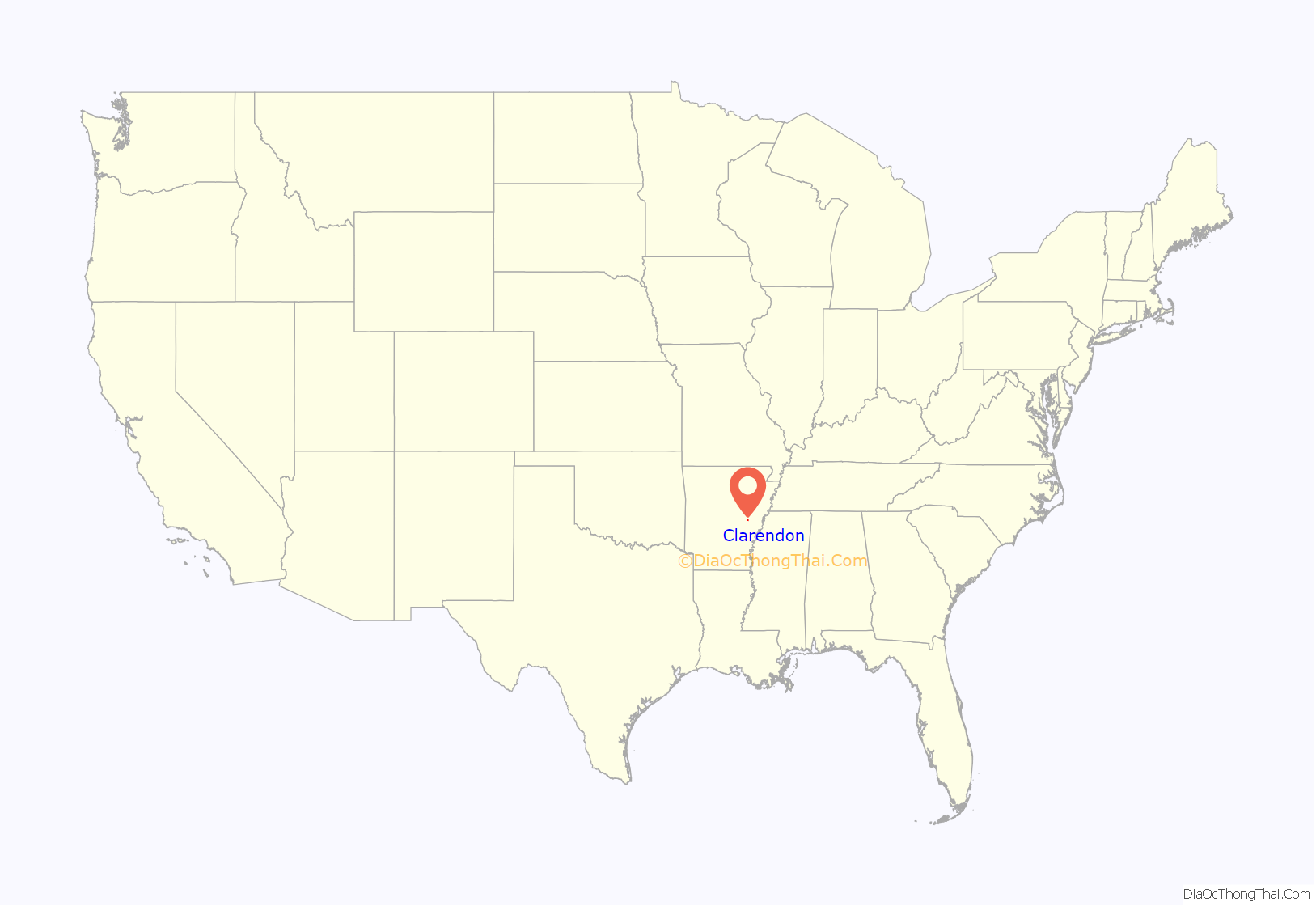
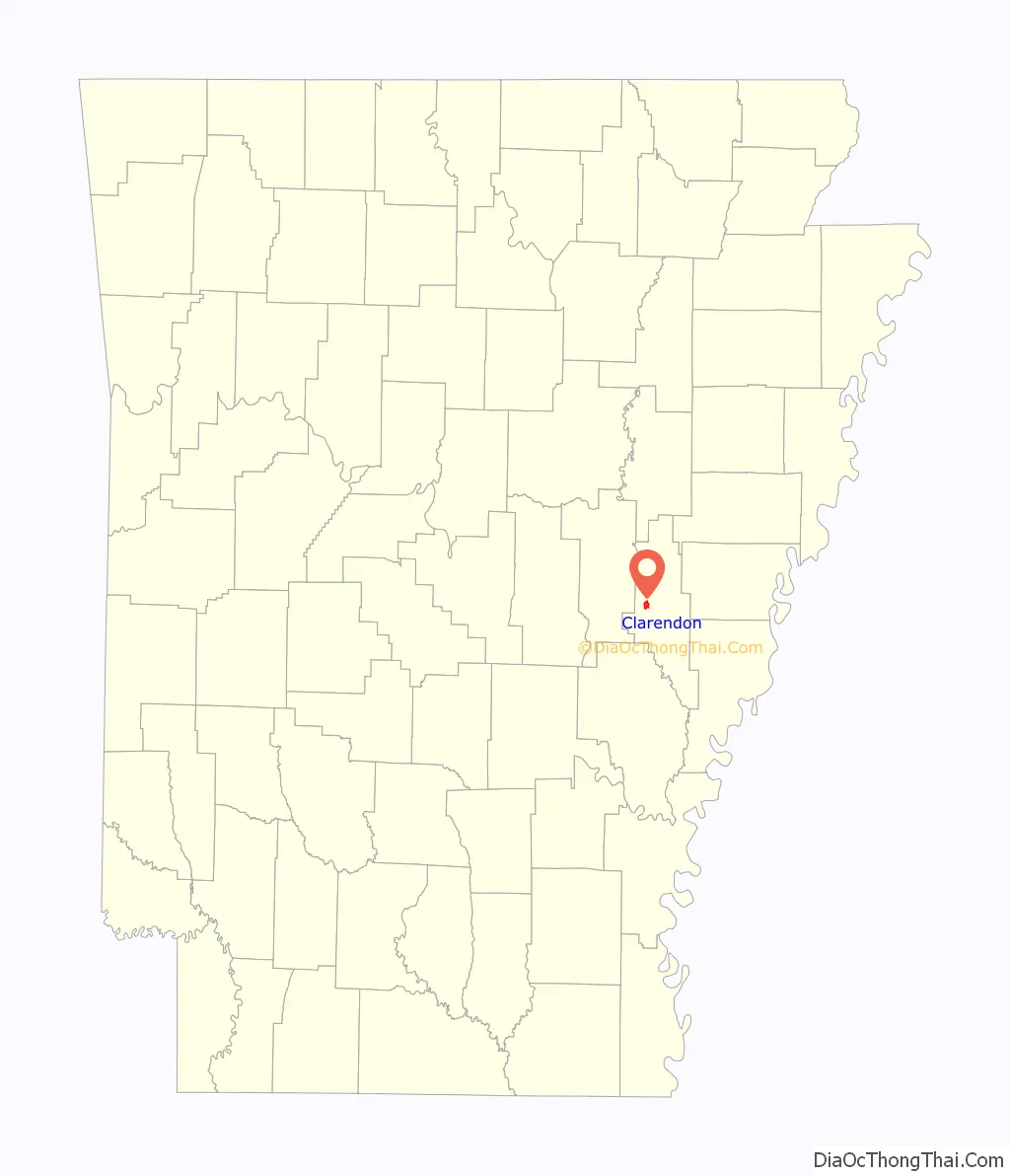
Clarendon location map. Where is Clarendon city?
History
Settlement through antebellum period
The area around Clarendon was originally populated by various Native American groups. By 1799, French hunters and trappers had built cabins at the mouth of the Cache River. It was the point where the Military Road from Memphis, Tennessee, to Little Rock crossed the White River. The Military Road was begun in 1826 and completed in 1828. By that date, a ferry crossing and post office had been established in Clarendon, and the town served as the terminus for a stagecoach line to the west. The Military Road was used as the route for some groups of Native Americans being relocated from eastern states to Oklahoma during the forced relocations commonly known as the Trail of Tears; Chickasaw, Choctaw, Creek, and Cherokee groups are known to have traveled along it. A railroad bridge across the White River was constructed in 1883 by the Texas and St. Louis Railway; the ferry operated until 1931 when it was replaced by a highway bridge.
Civil War and Reconstruction
The city of Clarendon was officially incorporated in 1859. In 1864, the city was burned to the ground by Union forces in retaliation for the sinking of the tinclad Union gunboat USS Queen City by forces under the command of Confederate Brigadier General Joseph O. Shelby. The town’s charter was dissolved in 1884, and it was reincorporated in 1898.
Gilded age through early 20th century
In the early 1900s, Clarendon developed a number of industries, including lumber, staves and barrels, oars, and buttons made from the shells of the area’s plentiful freshwater mussels. The mussels also provided freshwater pearls, which were bought and sold at the Clarendon Pearl Market. The Moss Brothers Bat Company supplied baseball bats to a number of major league baseball players during this era.
Like most of eastern Arkansas, Clarendon was devastated by the Great Mississippi Flood of 1927. The main levee at Clarendon held until the White River reached a height of 38.5 feet (11.7 m), 8.5 feet (2.6 m) above normal flood stage; the flood eventually crested at 44 feet (13 m). While no fatalities were reported, the town was inundated by water up to the second floor of many buildings, and the catastrophic inrush of water when the levee broke caused considerable damage to many buildings. The cleanup of mud and debris took many years.
World War II onwards
The area around Clarendon today is primarily agricultural; tourism related to the area’s hunting and fishing resources is the most common non-agricultural economic activity. The reported rediscovery of the ivory-billed woodpecker in 2004–2005 in the Cache River and White River National Wildlife Refuges has brought new attention to the area.
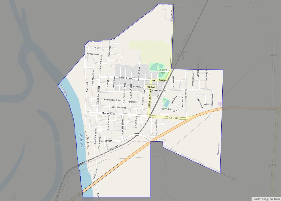
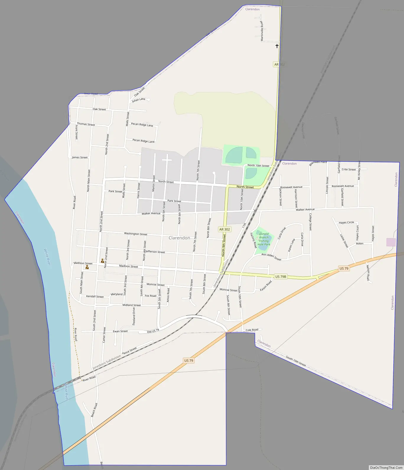
Clarendon Road Map
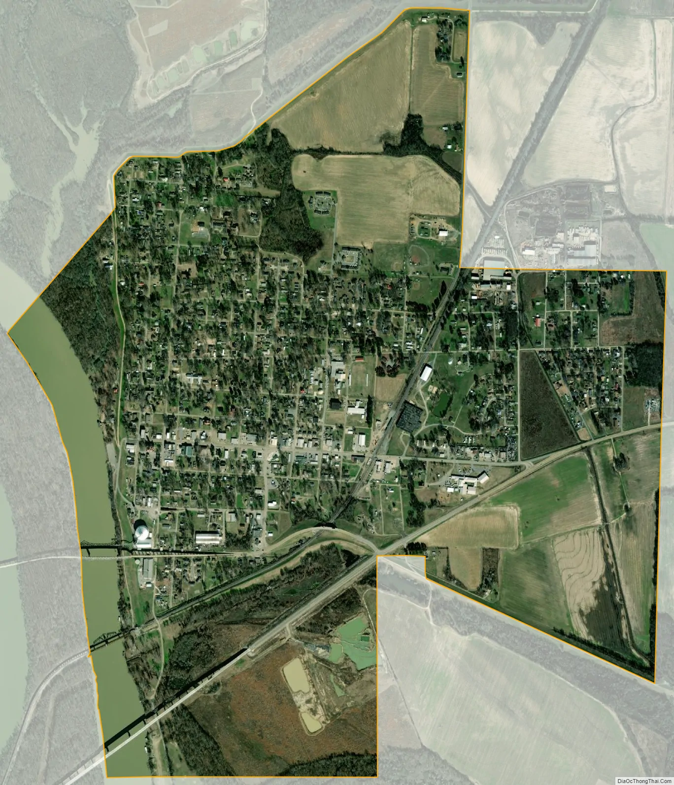
Clarendon city Satellite Map
Geography
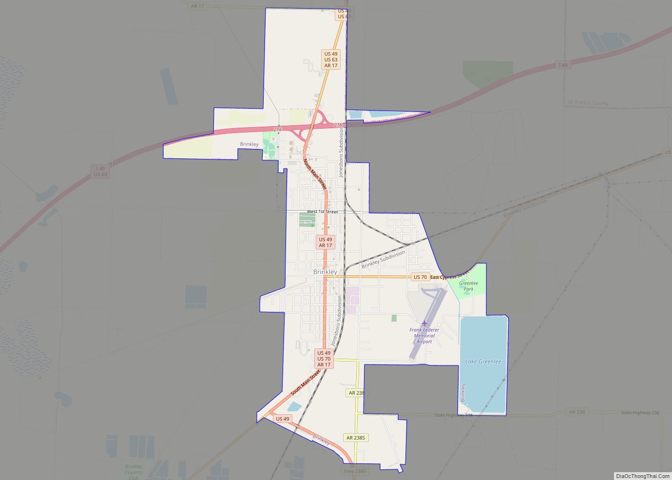
Clarendon is located in western Monroe County at 34°41′39″N 91°18′30″W / 34.69417°N 91.30833°W / 34.69417; -91.30833 (34.694035, -91.308411). It is 16 miles (26 km) southwest of Brinkley, 21 miles (34 km) northeast of Stuttgart, and 33 miles (53 km) west-southwest of Marianna.
According to the United States Census Bureau, the city has a total area of 1.93 square miles (5.00 km), of which 1.75 square miles (4.53 km) are land and 0.18 square miles (0.47 km), or 9.28%, are water. Clarendon is located at the mouth of the Cache River, where it empties into the White River.
Climate
According to the Köppen Climate Classification system, Clarendon has a humid subtropical climate, abbreviated “Cfa” on climate maps. The climate in this area is characterized by hot, humid summers and generally mild to cool winters.
See also
Map of Arkansas State and its subdivision:- Arkansas
- Ashley
- Baxter
- Benton
- Boone
- Bradley
- Calhoun
- Carroll
- Chicot
- Clark
- Clay
- Cleburne
- Cleveland
- Columbia
- Conway
- Craighead
- Crawford
- Crittenden
- Cross
- Dallas
- Desha
- Drew
- Faulkner
- Franklin
- Fulton
- Garland
- Grant
- Greene
- Hempstead
- Hot Spring
- Howard
- Independence
- Izard
- Jackson
- Jefferson
- Johnson
- Lafayette
- Lawrence
- Lee
- Lincoln
- Little River
- Logan
- Lonoke
- Madison
- Marion
- Miller
- Mississippi
- Monroe
- Montgomery
- Nevada
- Newton
- Ouachita
- Perry
- Phillips
- Pike
- Poinsett
- Polk
- Pope
- Prairie
- Pulaski
- Randolph
- Saint Francis
- Saline
- Scott
- Searcy
- Sebastian
- Sevier
- Sharp
- Stone
- Union
- Van Buren
- Washington
- White
- Woodruff
- Yell
- Alabama
- Alaska
- Arizona
- Arkansas
- California
- Colorado
- Connecticut
- Delaware
- District of Columbia
- Florida
- Georgia
- Hawaii
- Idaho
- Illinois
- Indiana
- Iowa
- Kansas
- Kentucky
- Louisiana
- Maine
- Maryland
- Massachusetts
- Michigan
- Minnesota
- Mississippi
- Missouri
- Montana
- Nebraska
- Nevada
- New Hampshire
- New Jersey
- New Mexico
- New York
- North Carolina
- North Dakota
- Ohio
- Oklahoma
- Oregon
- Pennsylvania
- Rhode Island
- South Carolina
- South Dakota
- Tennessee
- Texas
- Utah
- Vermont
- Virginia
- Washington
- West Virginia
- Wisconsin
- Wyoming