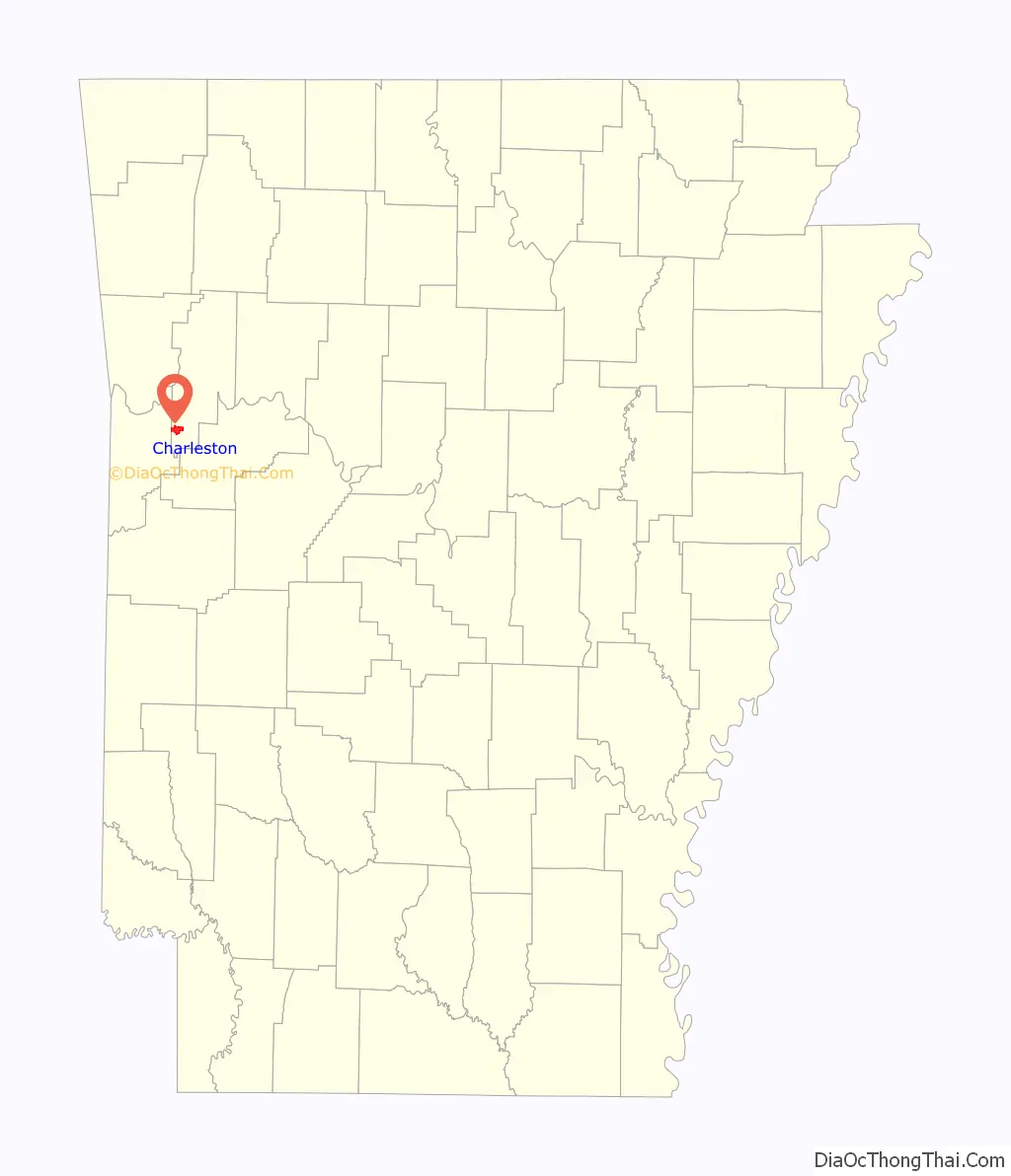
Charleston is a city in Franklin County, Arkansas, United States, and along with Ozark is one of the two county seats of Franklin County. It is part of the Fort Smith, Arkansas–Oklahoma Metropolitan Statistical Area. The population was 2,494 at the 2010 census, down from 2,965 in 2000.
| Name: | Charleston city |
|---|---|
| LSAD Code: | 25 |
| LSAD Description: | city (suffix) |
| State: | Arkansas |
| County: | Franklin County |
| Elevation: | 485 ft (148 m) |
| Total Area: | 3.94 sq mi (10.21 km²) |
| Land Area: | 3.83 sq mi (9.93 km²) |
| Water Area: | 0.11 sq mi (0.28 km²) |
| Total Population: | 2,588 |
| Population Density: | 675.01/sq mi (260.62/km²) |
| ZIP code: | 72933 |
| Area code: | 479 |
| FIPS code: | 0513300 |
| GNISfeature ID: | 2404028 |
| Website: | aboutcharleston.com |
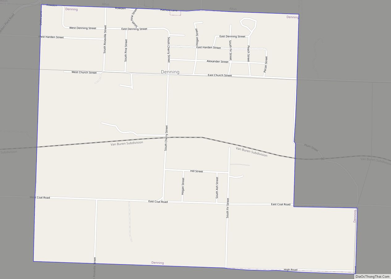
Online Interactive Map
Click on ![]() to view map in "full screen" mode.
to view map in "full screen" mode.
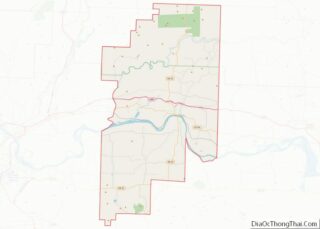
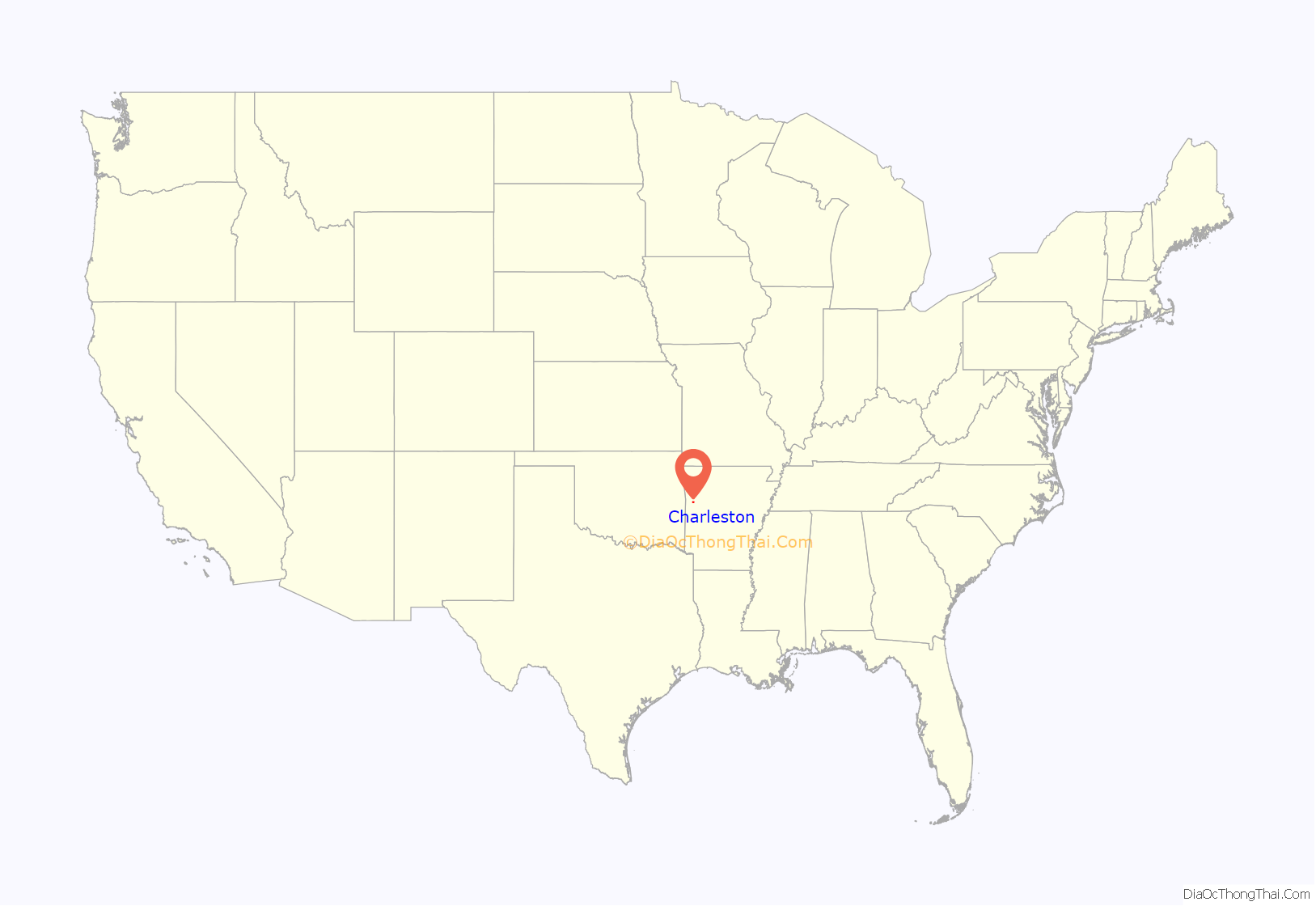
Charleston location map. Where is Charleston city?
History
Charleston was platted in 1870.
In 1954, Charleston was the first school district in the former Confederate States to implement school integration in response to Brown v. Board of Education. On July 27, 1954, the school board, including President Howard Madison Orsburn, George Hairston, Archibald Schaffer, Herbert Shumate, and Homer Keith, unanimously voted to “disband the Colored School and admit the Colored children into the grade and high school when classes open for the fall semester.” Accordingly, when the schools opened on August 23, 11 black children were in attendance alongside 480 whites. School Superintendent Woodie Haynes made an agreement with the local press not to cover the event, and stonewalled any outside reporters that asked questions. The decision to integrate had financial benefits, as the district had been paying a considerable sum to transport black high school students to Fort Smith, and were able to close the old Rosenwald school. During the Civil Rights era, the city was among a few Southern cities which surprisingly showed little resistance to integration. Charleston suffered some discrimination from other schools and the state; many schools refused to play football against them and the band was denied the opportunity to play in some band competitions. In 1961, the first two black students to graduate from Charleston were Barbara (Williams) Dotson and Joe Ferguson.
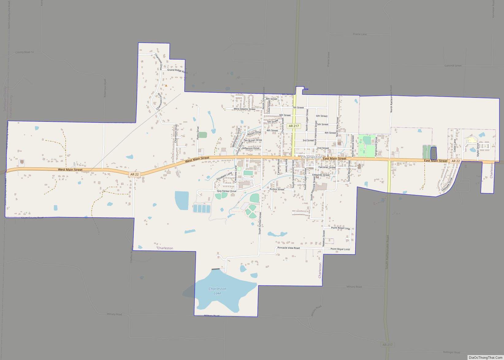
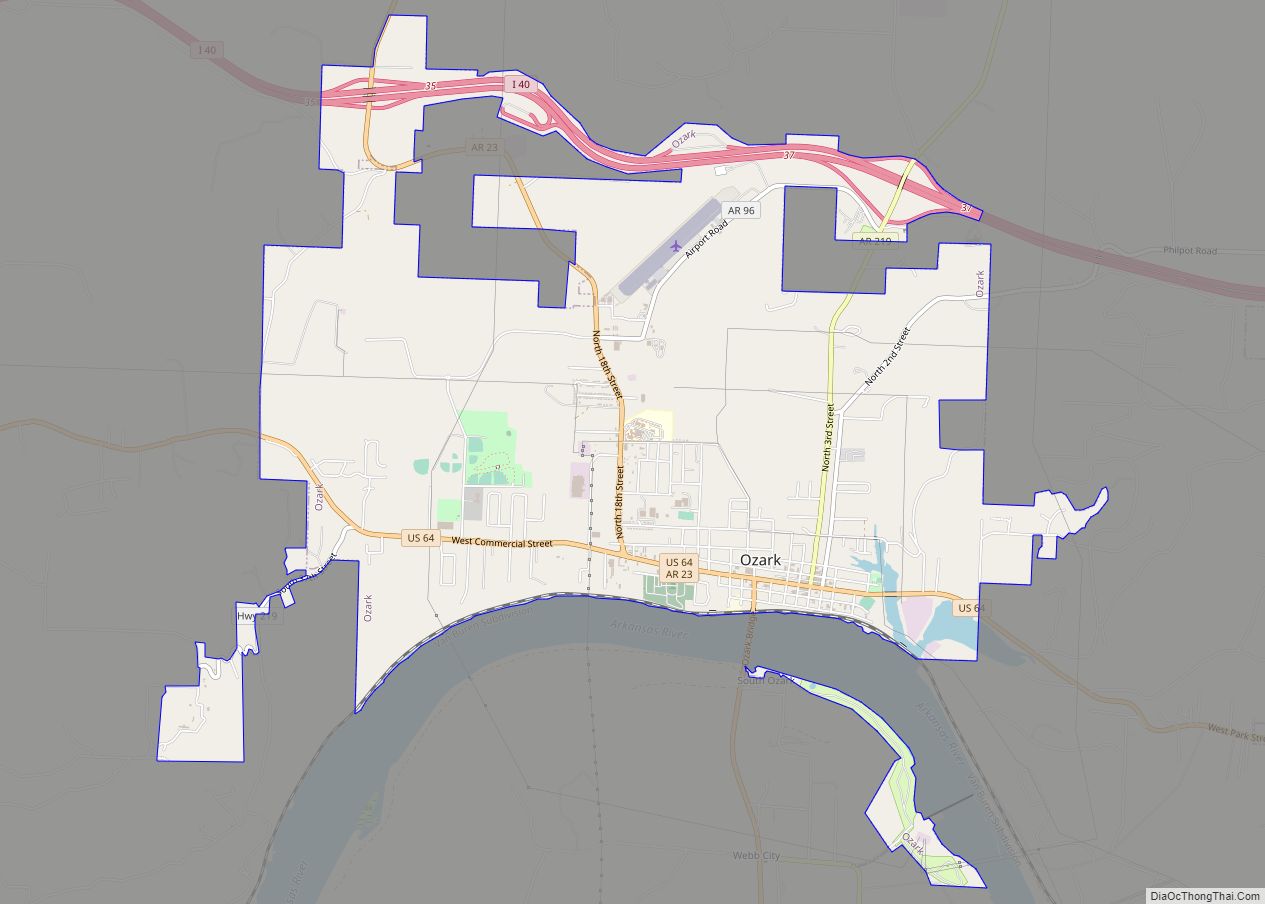
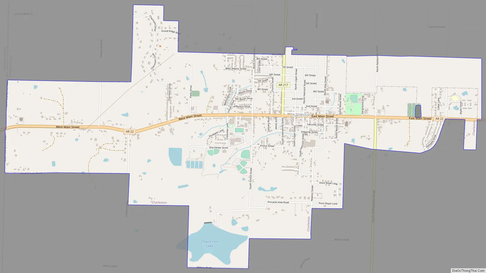
Charleston Road Map
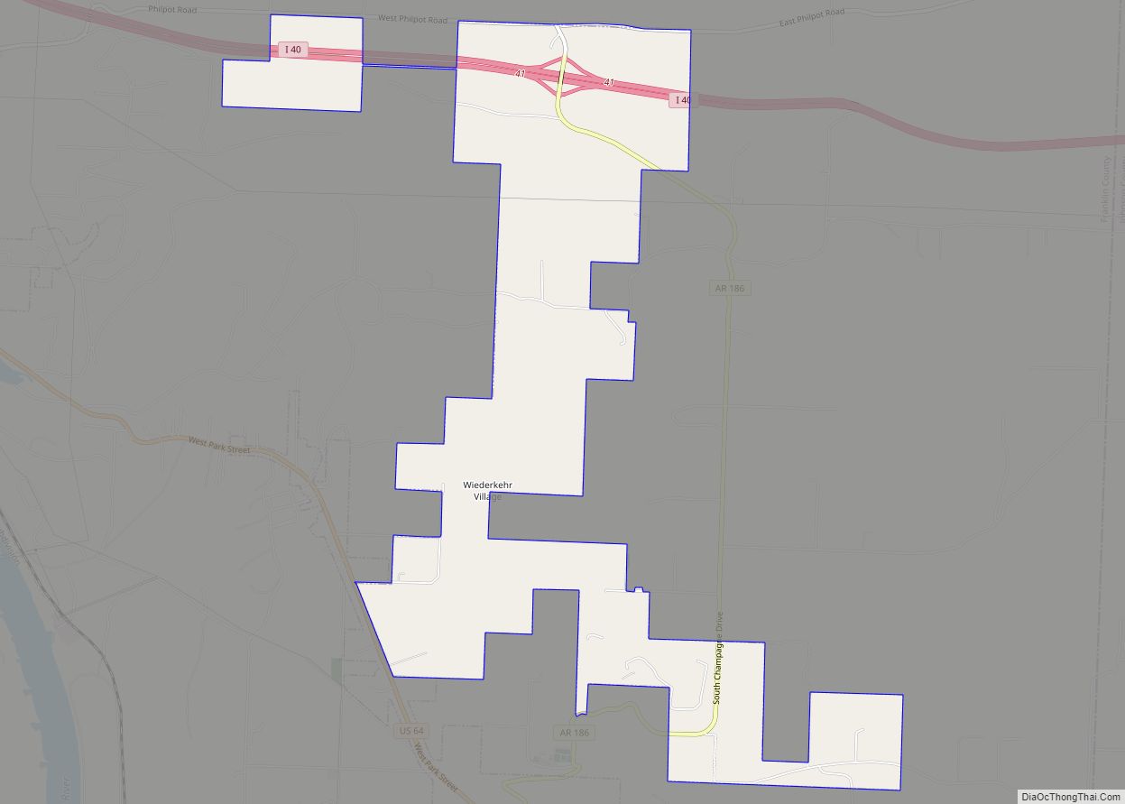
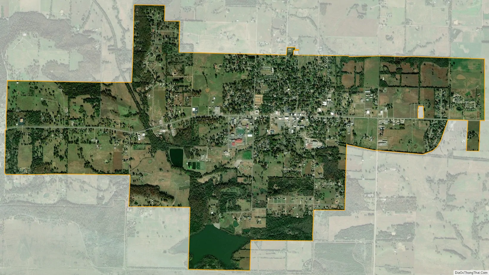
Charleston city Satellite Map
Geography
Charleston is in southwestern Franklin County, along Arkansas Highway 22, which leads east 9 miles (14 km) to Ratcliff and west 24 miles (39 km) to Fort Smith.
According to the United States Census Bureau, Charleston has a total area of 4.4 square miles (11.4 km), of which 4.3 square miles (11.1 km) is land and 0.1 square miles (0.3 km), or 2.53%, is water.
See also
Map of Arkansas State and its subdivision:- Arkansas
- Ashley
- Baxter
- Benton
- Boone
- Bradley
- Calhoun
- Carroll
- Chicot
- Clark
- Clay
- Cleburne
- Cleveland
- Columbia
- Conway
- Craighead
- Crawford
- Crittenden
- Cross
- Dallas
- Desha
- Drew
- Faulkner
- Franklin
- Fulton
- Garland
- Grant
- Greene
- Hempstead
- Hot Spring
- Howard
- Independence
- Izard
- Jackson
- Jefferson
- Johnson
- Lafayette
- Lawrence
- Lee
- Lincoln
- Little River
- Logan
- Lonoke
- Madison
- Marion
- Miller
- Mississippi
- Monroe
- Montgomery
- Nevada
- Newton
- Ouachita
- Perry
- Phillips
- Pike
- Poinsett
- Polk
- Pope
- Prairie
- Pulaski
- Randolph
- Saint Francis
- Saline
- Scott
- Searcy
- Sebastian
- Sevier
- Sharp
- Stone
- Union
- Van Buren
- Washington
- White
- Woodruff
- Yell
- Alabama
- Alaska
- Arizona
- Arkansas
- California
- Colorado
- Connecticut
- Delaware
- District of Columbia
- Florida
- Georgia
- Hawaii
- Idaho
- Illinois
- Indiana
- Iowa
- Kansas
- Kentucky
- Louisiana
- Maine
- Maryland
- Massachusetts
- Michigan
- Minnesota
- Mississippi
- Missouri
- Montana
- Nebraska
- Nevada
- New Hampshire
- New Jersey
- New Mexico
- New York
- North Carolina
- North Dakota
- Ohio
- Oklahoma
- Oregon
- Pennsylvania
- Rhode Island
- South Carolina
- South Dakota
- Tennessee
- Texas
- Utah
- Vermont
- Virginia
- Washington
- West Virginia
- Wisconsin
- Wyoming