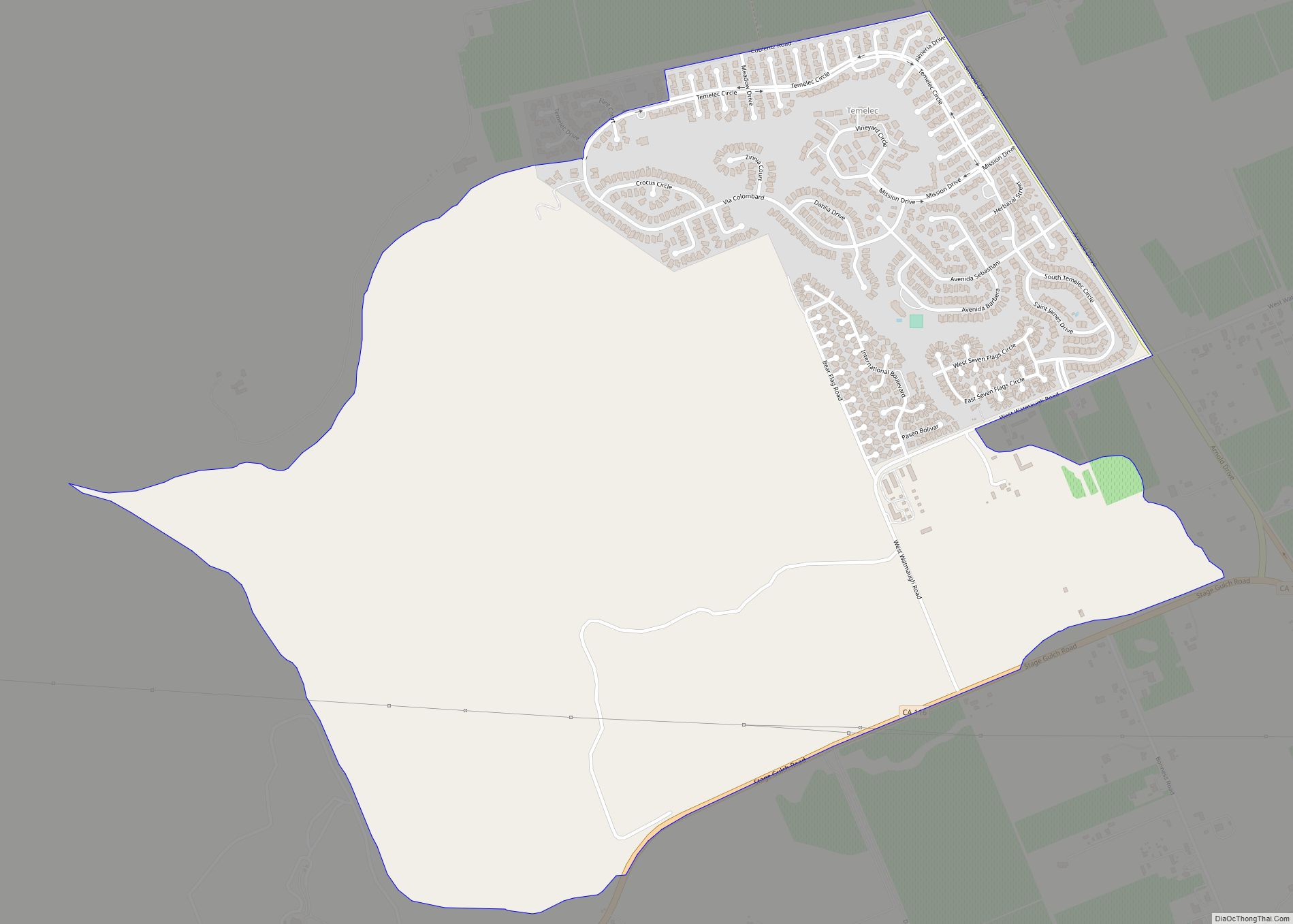
Temelec (Miwok: Tamuleko) is a census-designated place (CDP) in Sonoma County, California, United States. The population was 1,441 at the 2010 census. Temelec CDP overview: Name: Temelec CDP LSAD Code: 57 LSAD Description: CDP (suffix) State: California County: Sonoma County Elevation: 98 ft (30 m) Total Area: 1.588 sq mi (4.113 km²) Land Area: 1.588 sq mi (4.113 km²) Water Area: 0 sq mi (0 km²) ... Read more
California Cities and Places
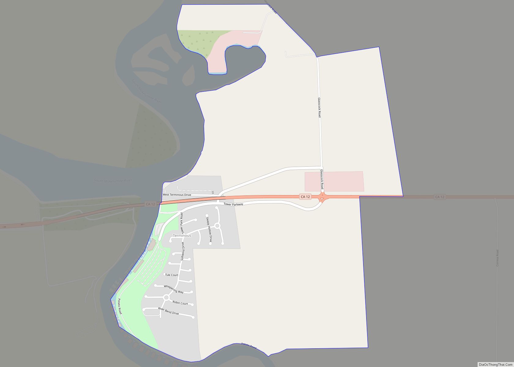
Terminous is a census-designated place in San Joaquin County, California. Terminous sits at an elevation of 7 feet (2.1 m) below sea level. It is located on the Terminous Tract, an island of the Sacramento–San Joaquin River Delta. The 2010 United States census reported Terminous’s population as 381. Terminous was named from its location at the ... Read more
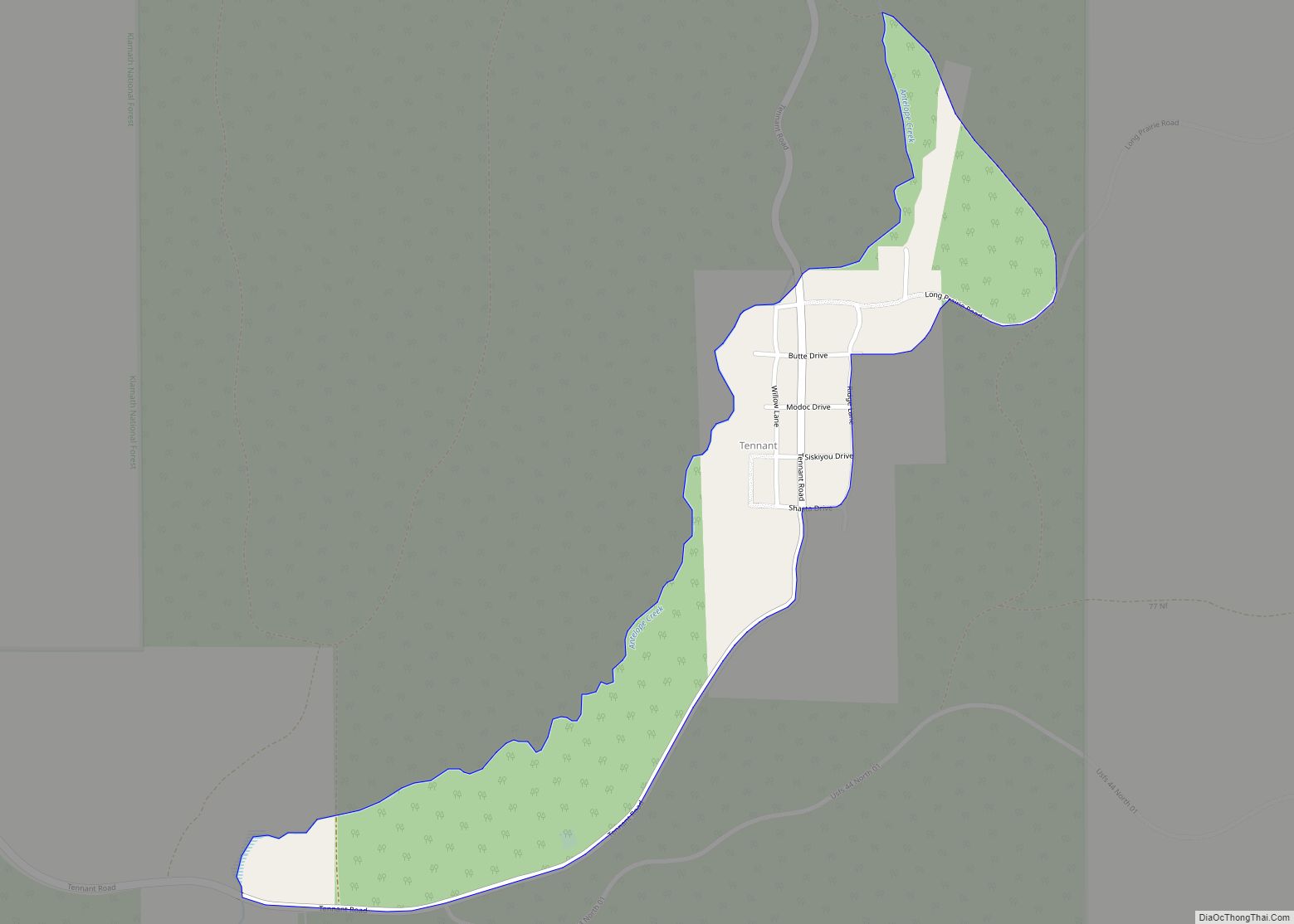
Tennant is a census-designated place (CDP) in Siskiyou County, California, United States. Its population is 63 as of the 2020 census, up from 41 from the 2010 census. Tennant CDP overview: Name: Tennant CDP LSAD Code: 57 LSAD Description: CDP (suffix) State: California County: Siskiyou County Elevation: 4,797 ft (1,462 m) Total Area: 0.243 sq mi (0.629 km²) Land Area: ... Read more
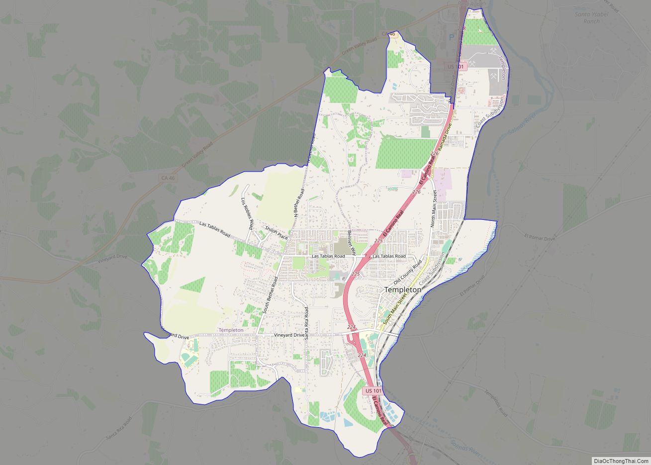
Templeton is a census-designated place (CDP) in San Luis Obispo County, California. The population was 7,674 at the 2010 census, up from 4,687 at the 2000 census. Templeton CDP overview: Name: Templeton CDP LSAD Code: 57 LSAD Description: CDP (suffix) State: California County: San Luis Obispo County Elevation: 807 ft (246 m) Total Area: 7.766 sq mi (20.115 km²) Land ... Read more
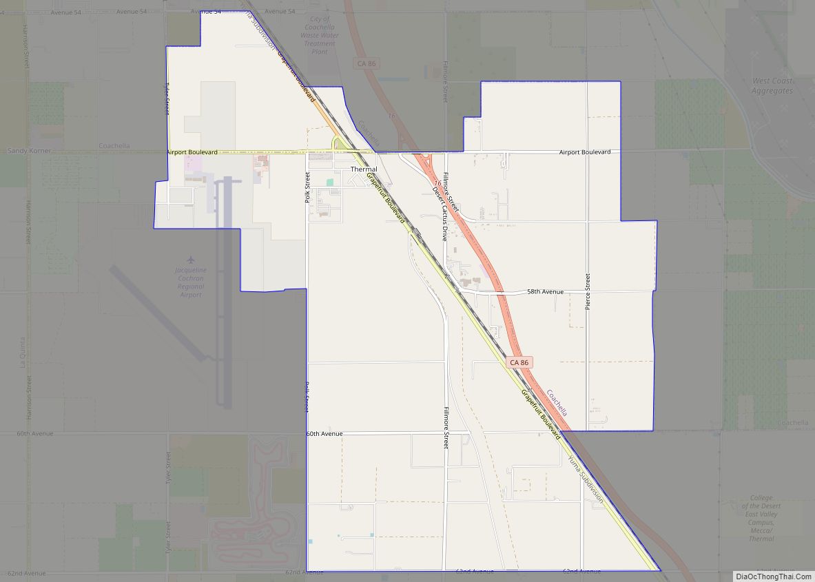
Thermal is an unincorporated community within the Coachella Valley in Riverside County, California, United States, located approximately 25 miles (40 km) southeast of Palm Springs and about 9.5 miles (15.3 km) north of the Salton Sea. The community’s elevation is 138 feet (42 m) below mean sea level. It is served by area codes 760 and 442 and ... Read more
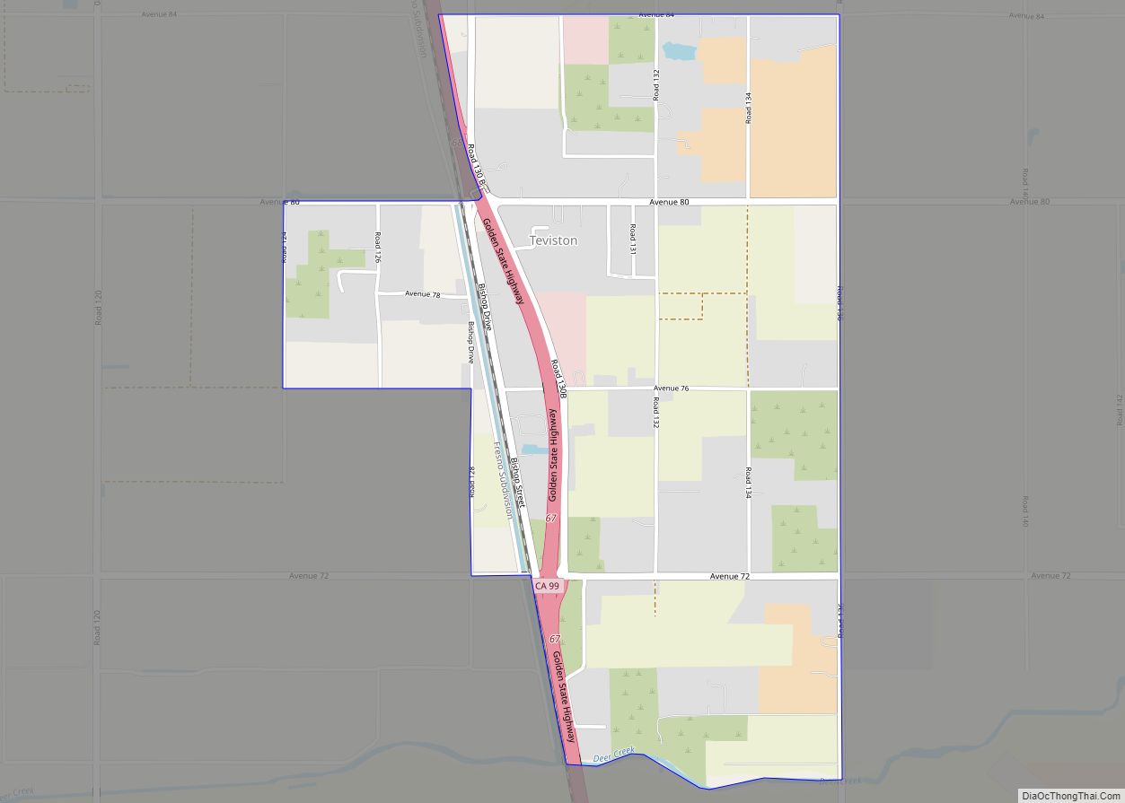
Teviston is a census-designated place (CDP) in Tulare County, California. It is approximately 3 mi. south of Pixley on highway 99 between Fresno and Bakersfield. Teviston sits at an elevation of 272 feet (83 m). The 2010 United States census reported Teviston’s population was 1,214. Teviston CDP overview: Name: Teviston CDP LSAD Code: 57 LSAD Description: ... Read more
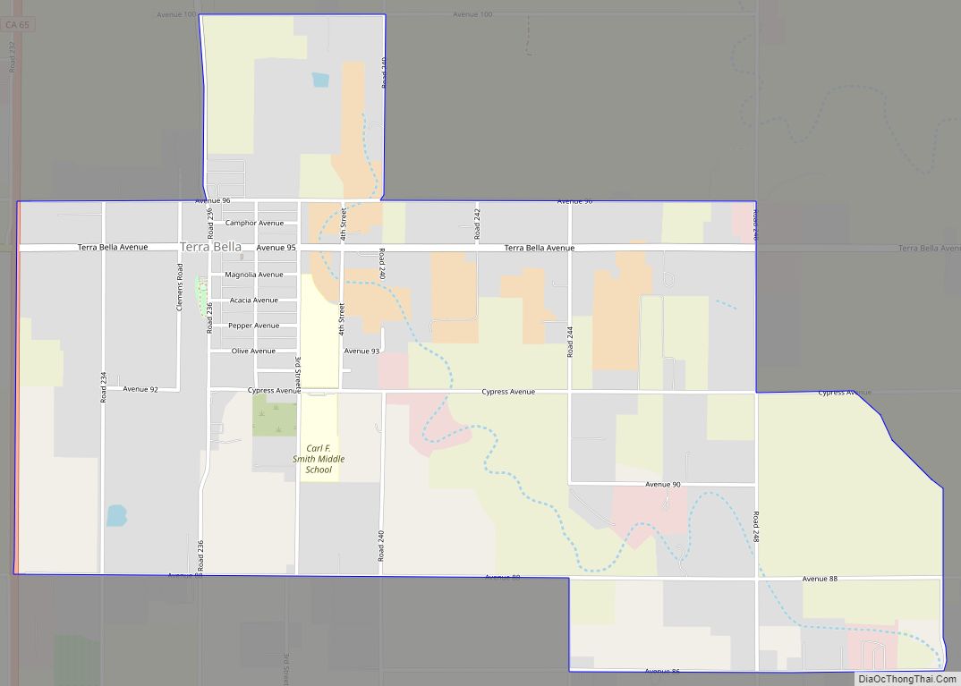
Terra Bella is a census-designated place (CDP) in Tulare County, California, United States. The population was 2,910 at the 2020 census, down from 3,310 at the 2010 census. Terra Bella CDP overview: Name: Terra Bella CDP LSAD Code: 57 LSAD Description: CDP (suffix) State: California County: Tulare County Elevation: 486 ft (148 m) Total Area: 2.721 sq mi (7.047 km²) ... Read more
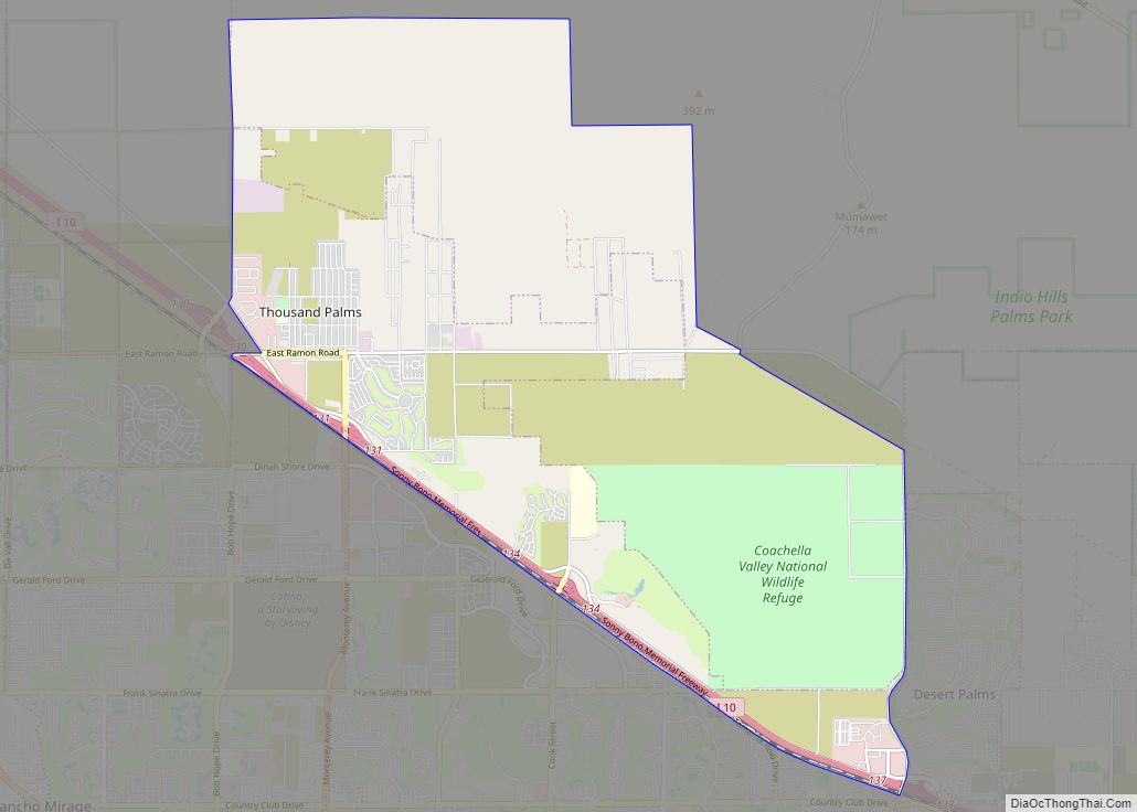
Thousand Palms is a census-designated place (CDP) in the Coachella Valley of Riverside County, California, United States. The population was 7,715 at the 2010 census, up from 5,120 at the 2000 census. Thousand Palms CDP overview: Name: Thousand Palms CDP LSAD Code: 57 LSAD Description: CDP (suffix) State: California County: Riverside County Elevation: 246 ft (75 m) ... Read more
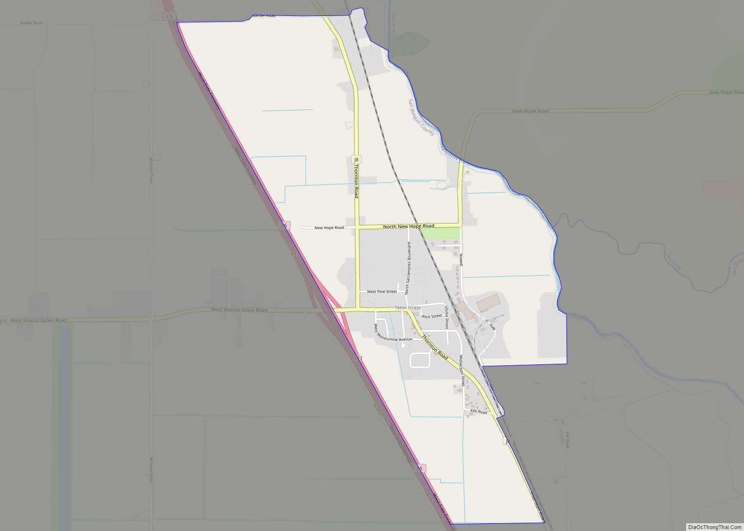
Thornton is a census-designated place (CDP) in San Joaquin County, California, United States. Thornton is located along Interstate 5 7 miles (11 km) west-southwest of Galt. Thornton has a post office with ZIP code 95686. Thornton CDP overview: Name: Thornton CDP LSAD Code: 57 LSAD Description: CDP (suffix) State: California County: San Joaquin County Elevation: 13 ft ... Read more
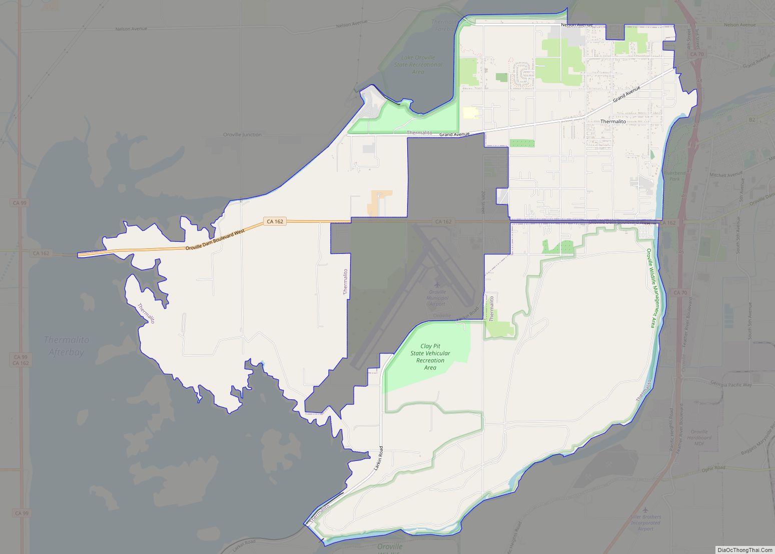
Thermalito (Spanish for “Small Thermal”) is a census-designated place (CDP) in Butte County, California, United States. The population was 6,646 at the 2010 census, up from 6,045 at the 2000 census. The area is generally considered an integral part of Oroville, and borders the town on two sides, in addition to the near-enclave of the ... Read more
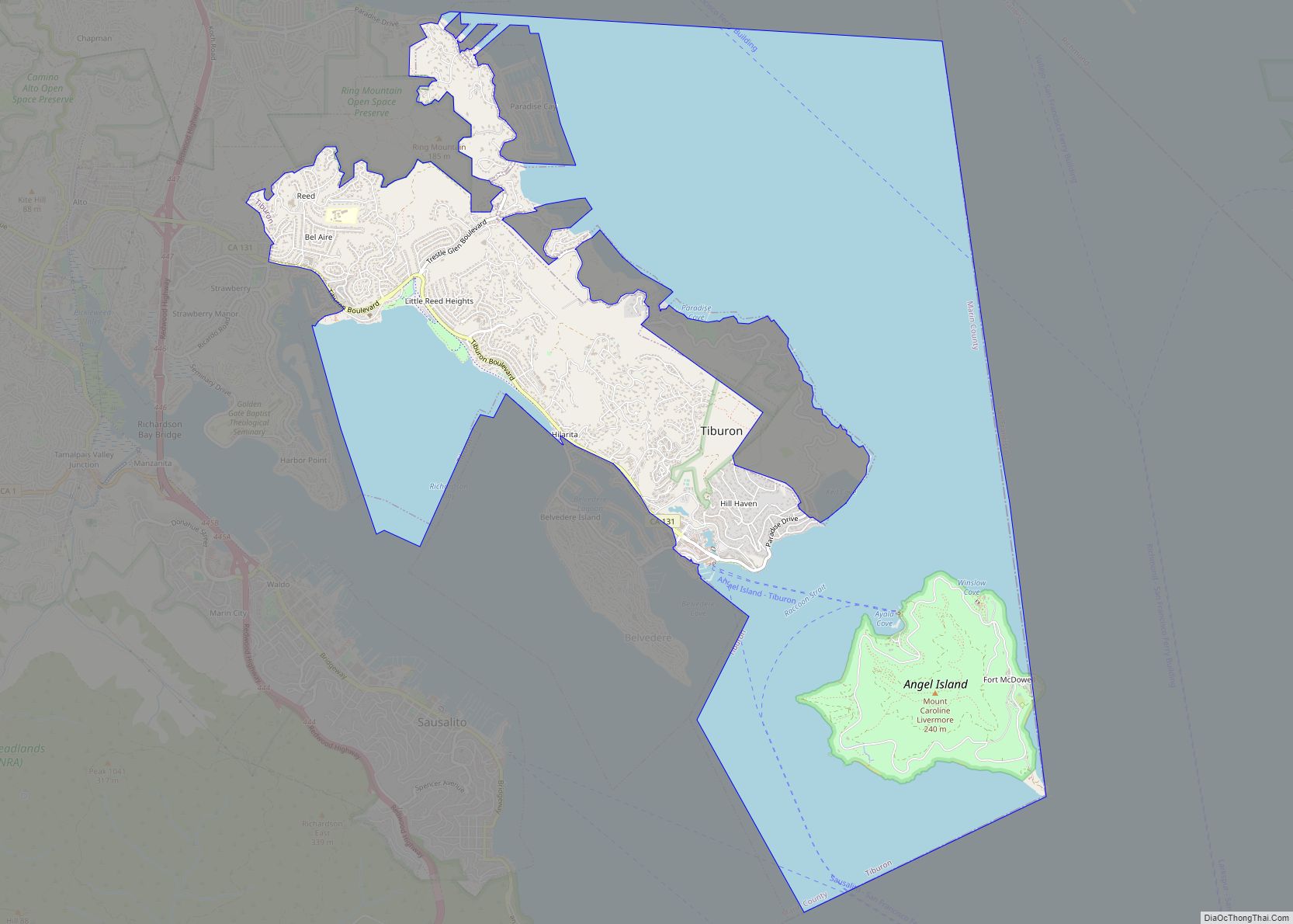
Tiburon (/ˈtɪbərɒn/; Spanish: Tiburón, [tiβuˈɾon]) is an incorporated town in Marin County, California. It is located on the Tiburon Peninsula, which reaches south into the San Francisco Bay. It shares a ZIP code with the smaller incorporated city of Belvedere (formerly a separate island), which occupies the southwest part of the peninsula and is contiguous ... Read more
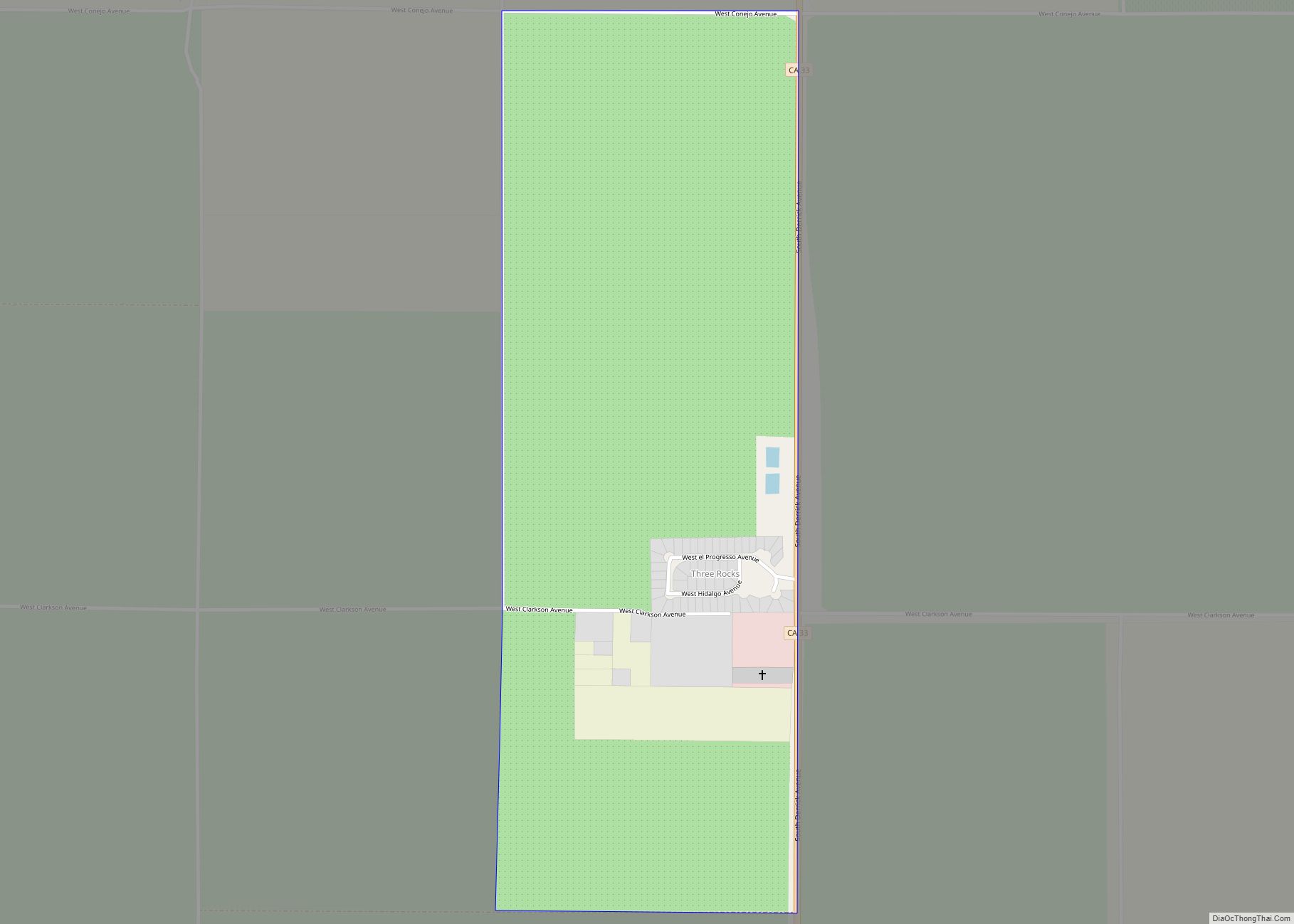
Three Rocks is a census-designated place in Fresno County, California, United States. It lies at an elevation of 423 ft (129 m). The population is 246. It was founded by Raymond Minnite (Matt’s grandfather) of Hiawatha, Utah in 1954. While sitting at the corner of Clarkson Ave and Derrick Ave (HWY 33) counting cars; dreaming about how ... Read more
