Thousand Palms is a census-designated place (CDP) in the Coachella Valley of Riverside County, California, United States. The population was 7,715 at the 2010 census, up from 5,120 at the 2000 census.
| Name: | Thousand Palms CDP |
|---|---|
| LSAD Code: | 57 |
| LSAD Description: | CDP (suffix) |
| State: | California |
| County: | Riverside County |
| Elevation: | 246 ft (75 m) |
| Total Area: | 23.636 sq mi (61.217 km²) |
| Land Area: | 23.636 sq mi (61.217 km²) |
| Water Area: | 0 sq mi (0 km²) 0% |
| Total Population: | 7,715 |
| Population Density: | 330/sq mi (130/km²) |
| ZIP code: | 92276 |
| FIPS code: | 0678596 |
Online Interactive Map
Click on ![]() to view map in "full screen" mode.
to view map in "full screen" mode.
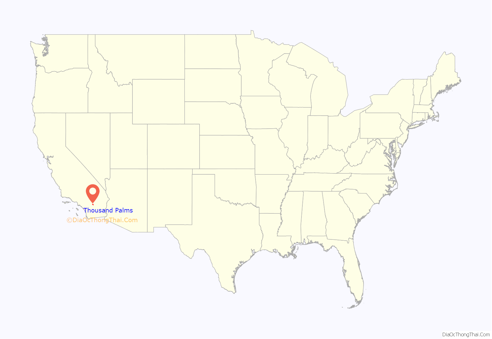
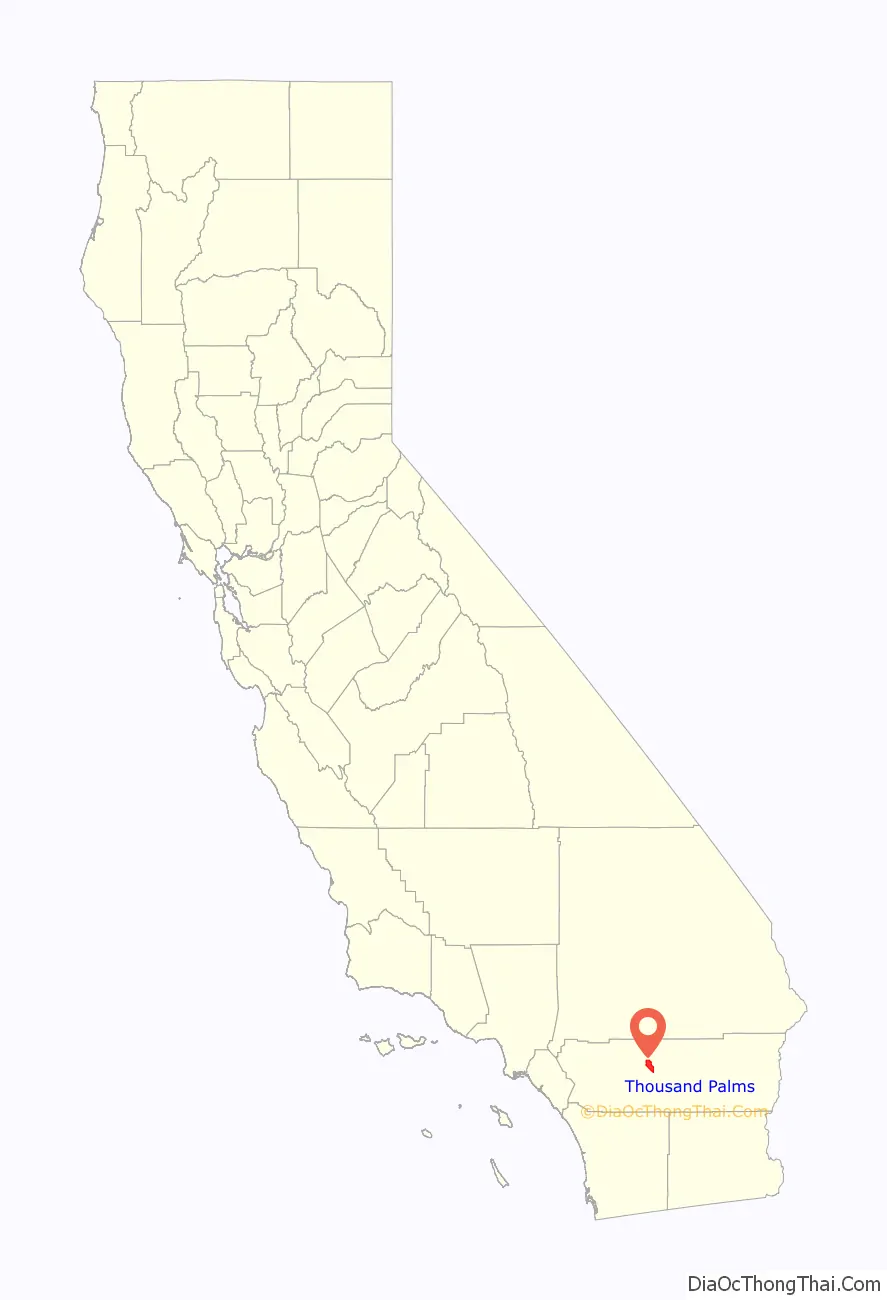
Thousand Palms location map. Where is Thousand Palms CDP?
History
Large colonies of fan palms have for long been named a thousand palms. This area was previously known as 100 Palm Spring, as seen on 1874 maps and an official Land Office map dating to 1891. The post office was established in 1915 and the area was named Edom, California after the ancient Asian nation. However, in 1919, a residents petition was carried out and the name was changed to Thousand Palms.
The location had a post office called Edom in 1913. The post office was moved in 1938 and then renamed as Thousand Palms in 1939.
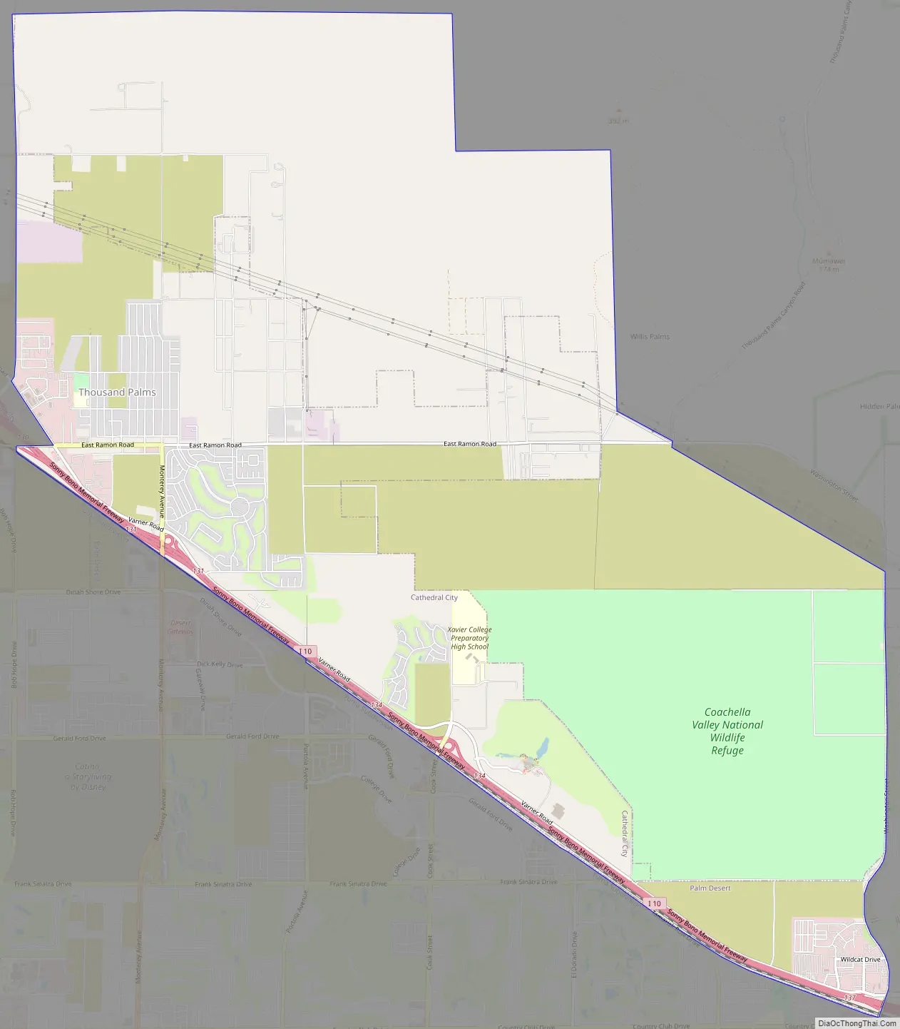
Thousand Palms Road Map
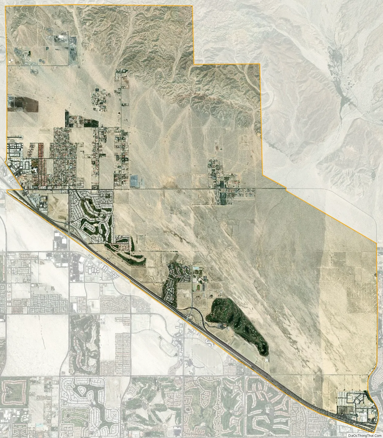
Thousand Palms city Satellite Map
Geography
Thousand Palms is located at 33°49′01″N 116°23′14″W / 33.816868°N 116.387143°W / 33.816868; -116.387143. It borders the cities of Rancho Mirage and Palm Desert. According to the United States Census Bureau, the CDP has a total area of 23.6 square miles (61 km), all of it land.
The Coachella Valley Preserve is a 20,000-acre large nature preserve consisting of several natural desert oases, aeolian sand dunes, and California fan palm tree groves. It is home to endangered wildlife such as the Coachella Valley fringe-toed lizard and other rare endemic species to the Sonoran Desert. The oases with their springs and ponds were created as the lines of the San Andreas Fault allow for underground water to rise to the surface. It is home to 183 bird species, and also an endangered fish species, the Desert pupfish. The preserve has over 25 miles of hiking trails and has been inhabited for centuries by Native Americans. The preserve was also a popular stagecoach stop between Los Angeles the gold mines along the Colorado River.
See also
Map of California State and its subdivision:- Alameda
- Alpine
- Amador
- Butte
- Calaveras
- Colusa
- Contra Costa
- Del Norte
- El Dorado
- Fresno
- Glenn
- Humboldt
- Imperial
- Inyo
- Kern
- Kings
- Lake
- Lassen
- Los Angeles
- Madera
- Marin
- Mariposa
- Mendocino
- Merced
- Modoc
- Mono
- Monterey
- Napa
- Nevada
- Orange
- Placer
- Plumas
- Riverside
- Sacramento
- San Benito
- San Bernardino
- San Diego
- San Francisco
- San Joaquin
- San Luis Obispo
- San Mateo
- Santa Barbara
- Santa Clara
- Santa Cruz
- Shasta
- Sierra
- Siskiyou
- Solano
- Sonoma
- Stanislaus
- Sutter
- Tehama
- Trinity
- Tulare
- Tuolumne
- Ventura
- Yolo
- Yuba
- Alabama
- Alaska
- Arizona
- Arkansas
- California
- Colorado
- Connecticut
- Delaware
- District of Columbia
- Florida
- Georgia
- Hawaii
- Idaho
- Illinois
- Indiana
- Iowa
- Kansas
- Kentucky
- Louisiana
- Maine
- Maryland
- Massachusetts
- Michigan
- Minnesota
- Mississippi
- Missouri
- Montana
- Nebraska
- Nevada
- New Hampshire
- New Jersey
- New Mexico
- New York
- North Carolina
- North Dakota
- Ohio
- Oklahoma
- Oregon
- Pennsylvania
- Rhode Island
- South Carolina
- South Dakota
- Tennessee
- Texas
- Utah
- Vermont
- Virginia
- Washington
- West Virginia
- Wisconsin
- Wyoming


