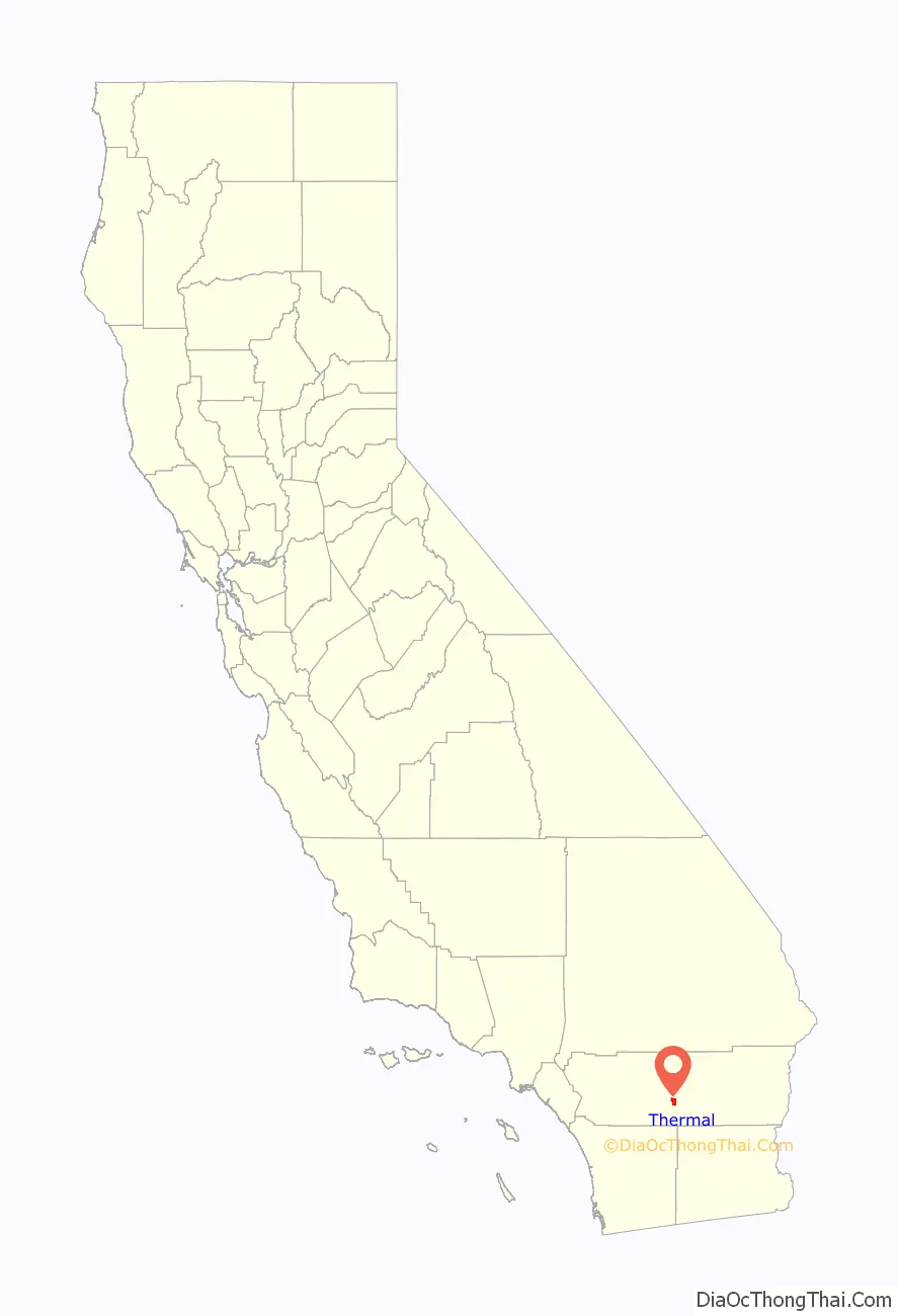
Thermal is an unincorporated community within the Coachella Valley in Riverside County, California, United States, located approximately 25 miles (40 km) southeast of Palm Springs and about 9.5 miles (15.3 km) north of the Salton Sea. The community’s elevation is 138 feet (42 m) below mean sea level. It is served by area codes 760 and 442 and is in ZIP Code 92274. The population was 2,865 at the 2010 census. For statistical purposes, the United States Census Bureau has defined Thermal a census-designated place (CDP), which does not precisely correspond to the historical community.
| Name: | Thermal CDP |
|---|---|
| LSAD Code: | 57 |
| LSAD Description: | CDP (suffix) |
| State: | California |
| County: | Riverside County |
| Incorporated: | April 20, 1938 |
| Elevation: | −138 ft (−43 m) |
| Total Area: | 9.451 sq mi (24.479 km²) |
| Land Area: | 9.451 sq mi (24.479 km²) |
| Water Area: | 0.00 sq mi (0.00 km²) 0.00% |
| Total Population: | 2,676 |
| Population Density: | 280/sq mi (110/km²) |
| FIPS code: | 0678456 |
Online Interactive Map
Click on ![]() to view map in "full screen" mode.
to view map in "full screen" mode.
Thermal location map. Where is Thermal CDP?

History
December 30,1823 Bevret Captain Jose Romero leading an expeditionary military expedition finding a route to Tucson from San Gabriel passes In the foothills west of Thermal and Martinez Indian Village (South of Thermal). Thermal (originally Kokell) began as a railroad camp in 1910 for employees of the Southern Pacific Railroad, followed by Mecca (originally called Walters) in 1915 and Arabia in between, each with about 1,000 residents. Permanent dwellings were soon established on Avenue 56 (renamed Airport Boulevard), former U.S. Route 99 (State Route 86) and State Route 111 by the 1930s.
Agricultural development from canal irrigation made the area thrive in greenery by the 1950s, followed by the former Camp Young U.S. Naval Air station converted into Thermal Airport by 1965. In the early 1990s, a four-lane highway (State Route 86) was constructed over an earlier transportation route. There is a proposal for a major commercial aviation Airport known as the Jackie Cochran-Desert Cities Regional Airport on the same site.
An auto racetrack and club, a members-only racetrack near Jacqueline Cochran Regional Airport (Thermal Club), is under development and is being built on land originally owned by the Kohl family (owners of Kohl Department stores) and built-in partnership with them. The Kohls still own significant property in this area.
Thermal Road Map

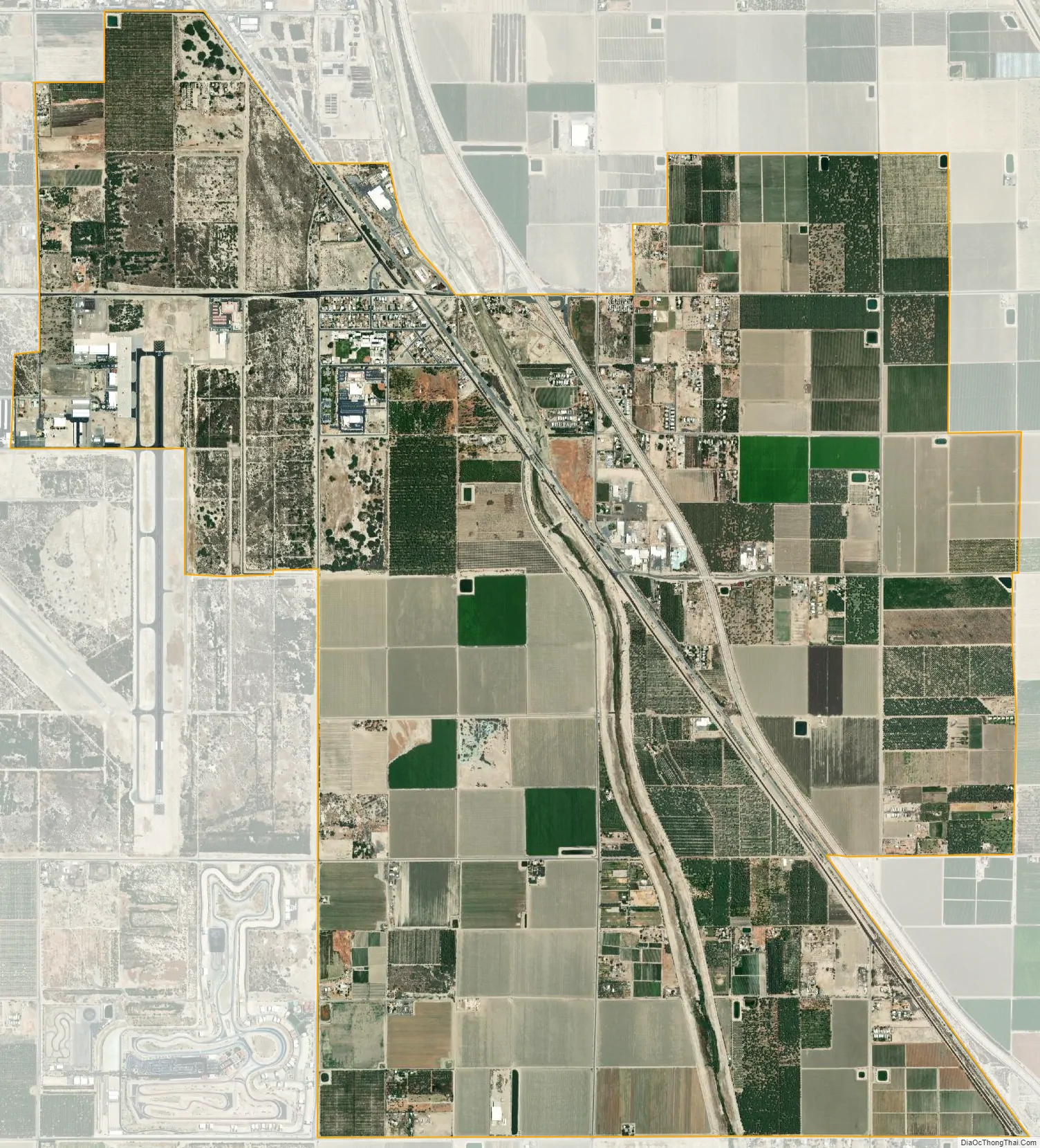
Thermal city Satellite Map
Geography
According to the United States Census Bureau, the CDP covers an area of 9.5 square miles (25.5 km), all of its land.
Climate
Thermal has a desert climate (BWh according to the Köppen climate classification). High mountain ranges on three sides contribute to its unique and year-round warm climate, with some of the warmest winters west of the Rocky Mountains. Its average annual high temperature is 88.7 °F (31.5 °C) and its average annual low is 56.3 °F (13.5 °C). Summer highs above 110 °F (43 °C) occur on average 28 days per year and exceed 120 °F (49 °C) every other year. Summer nights often stay above 80 °F (27 °C). Winters are warm with daytime highs rarely below 60 °F (16 °C), although light freezes happen every year. The average annual precipitation is under 3 inches (76 mm), with over 348 days of sunshine per year. The hottest temperature ever recorded in the area was 126 °F (52 °C) on July 28, 1995 and the coldest is 14 °F (−10 °C) on December 23, 1990.
See also
Map of California State and its subdivision:- Alameda
- Alpine
- Amador
- Butte
- Calaveras
- Colusa
- Contra Costa
- Del Norte
- El Dorado
- Fresno
- Glenn
- Humboldt
- Imperial
- Inyo
- Kern
- Kings
- Lake
- Lassen
- Los Angeles
- Madera
- Marin
- Mariposa
- Mendocino
- Merced
- Modoc
- Mono
- Monterey
- Napa
- Nevada
- Orange
- Placer
- Plumas
- Riverside
- Sacramento
- San Benito
- San Bernardino
- San Diego
- San Francisco
- San Joaquin
- San Luis Obispo
- San Mateo
- Santa Barbara
- Santa Clara
- Santa Cruz
- Shasta
- Sierra
- Siskiyou
- Solano
- Sonoma
- Stanislaus
- Sutter
- Tehama
- Trinity
- Tulare
- Tuolumne
- Ventura
- Yolo
- Yuba
- Alabama
- Alaska
- Arizona
- Arkansas
- California
- Colorado
- Connecticut
- Delaware
- District of Columbia
- Florida
- Georgia
- Hawaii
- Idaho
- Illinois
- Indiana
- Iowa
- Kansas
- Kentucky
- Louisiana
- Maine
- Maryland
- Massachusetts
- Michigan
- Minnesota
- Mississippi
- Missouri
- Montana
- Nebraska
- Nevada
- New Hampshire
- New Jersey
- New Mexico
- New York
- North Carolina
- North Dakota
- Ohio
- Oklahoma
- Oregon
- Pennsylvania
- Rhode Island
- South Carolina
- South Dakota
- Tennessee
- Texas
- Utah
- Vermont
- Virginia
- Washington
- West Virginia
- Wisconsin
- Wyoming


