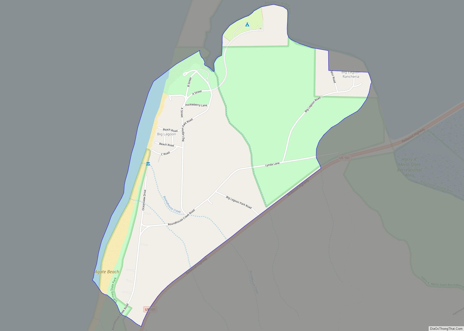
Big Lagoon is a census-designated place in Humboldt County, California. It is located 7 miles (11 km) north of Trinidad, at an elevation of 56 feet (17 m). Its population is 161 as of the 2020 census, up from 93 from the 2010 census. Big Lagoon CDP overview: Name: Big Lagoon CDP LSAD Code: 57 LSAD Description: ... Read more
California Cities and Places
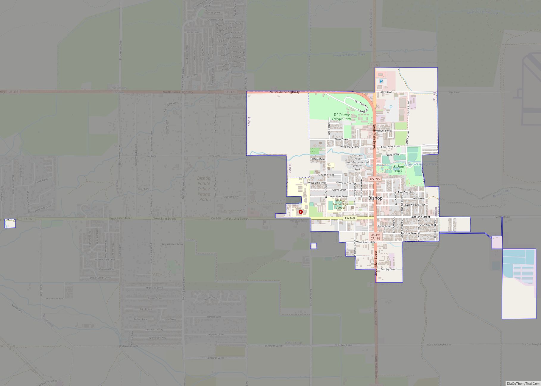
Bishop (formerly Bishop Creek) is a city in California, United States. It is the largest populated place and only incorporated city in Inyo County. Bishop is located near the northern end of the Owens Valley, at an elevation of 4,150 feet (1,260 m). The city was named after Bishop Creek, flowing out of the Sierra Nevada; ... Read more
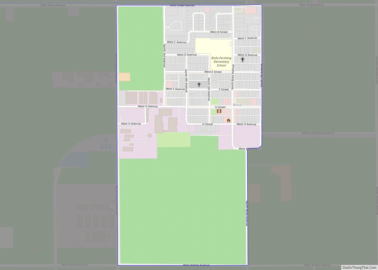
Biola is a census-designated place (CDP) in Fresno County, California, United States. The population was 1,623 at the 2010 census, up from 1,037 in 2000. Biola is located 6 miles (9.7 km) north-northeast of Kerman, at an elevation of 253 feet (77 m). Biola CDP overview: Name: Biola CDP LSAD Code: 57 LSAD Description: CDP (suffix) ... Read more
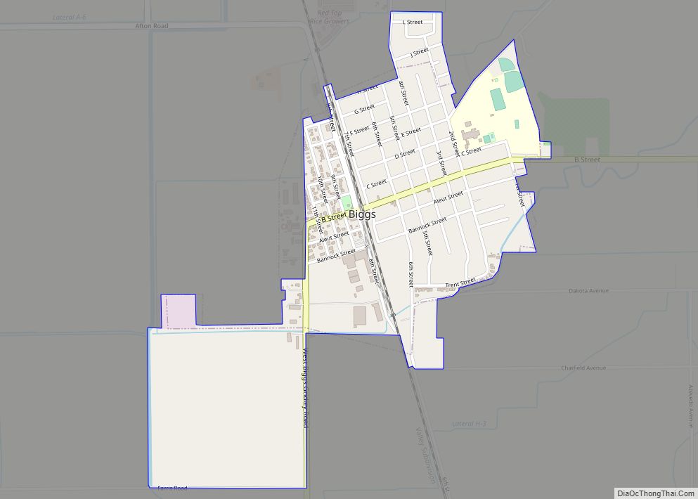
Biggs (formerly, Biggs Station) is a city in Butte County, California, United States. The population was 1,707 at the 2010 census, down from 1,793 at the 2000 census. The 2018 population estimate is 1,724. Biggs city overview: Name: Biggs city LSAD Code: 25 LSAD Description: city (suffix) State: California County: Butte County Incorporated: June 26, ... Read more
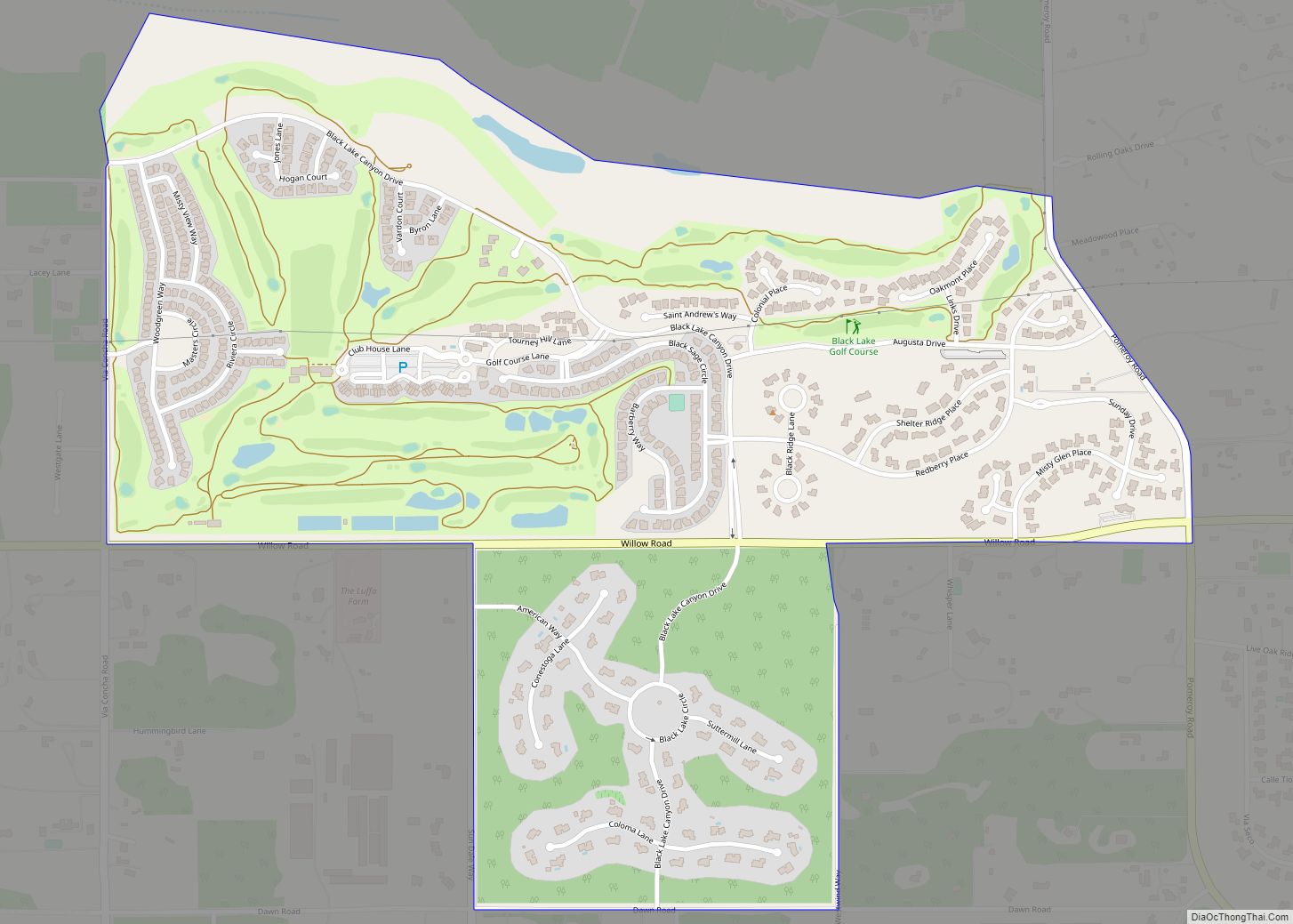
Blacklake is a census-designated place in San Luis Obispo County, California. Blacklake sits at an elevation of 341 feet (104 m). The 2010 United States census reported Blacklake’s population was 930. Blacklake (or Blacklake Village) is an area of residential subdivisions surrounding the Blacklake Golf Resort, and is located between Nipomo and Callender, California. Blacklake CDP ... Read more
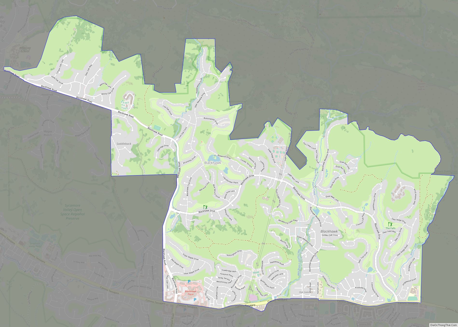
Blackhawk is an unincorporated planned community and census-designated place located in Contra Costa County, California, United States, east of Danville and Oakland. As of the 2010 census it had a population of 9,354. Governed by county rules/regulations and a homeowner association (HOA), Blackhawk has a country club, two golf courses, sports complex, restaurants, and the ... Read more
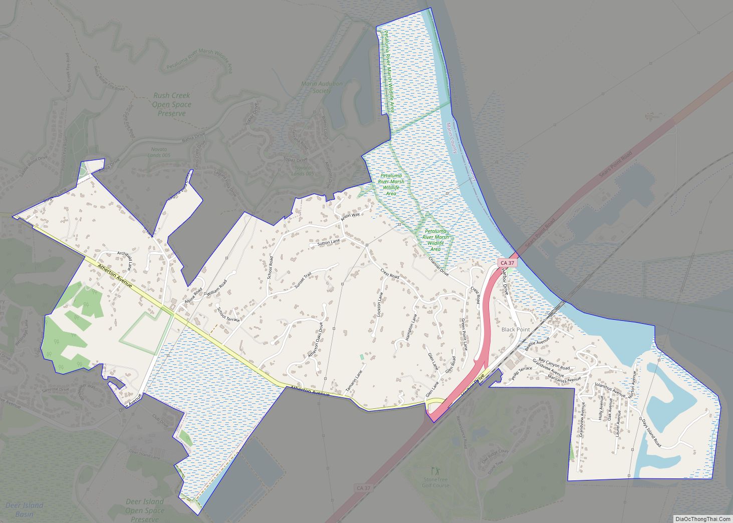
Black Point-Green Point is a census-designated place (CDP) in Marin County, California, United States. It is unincorporated, sitting between the city of Novato to the southwest and the Petaluma River and San Pablo Bay to the northeast. The population was 1,431 at the 2020 census. Black Point-Green Point CDP overview: Name: Black Point-Green Point CDP ... Read more
Bloomington is a unincorporated community in San Bernardino County, California, United States. The population was 23,851 at the 2010 census, up from 19,318 at the 2000 census. For statistical purposes, the United States Census Bureau has defined Bloomington as a census-designated place (CDP). Though currently unincorporated, many of the town’s political activists are pushing for ... Read more
Bloomfield is a census-designated place in Sonoma County, California, U.S. It is located in a rural area about 11 miles (18 km) southwest of Santa Rosa at the junction of Bloomfield Road and Valley Ford Road. Americano Creek flows westward along the south edge of the town. Bloomfield CDP overview: Name: Bloomfield CDP LSAD Code: 57 ... Read more
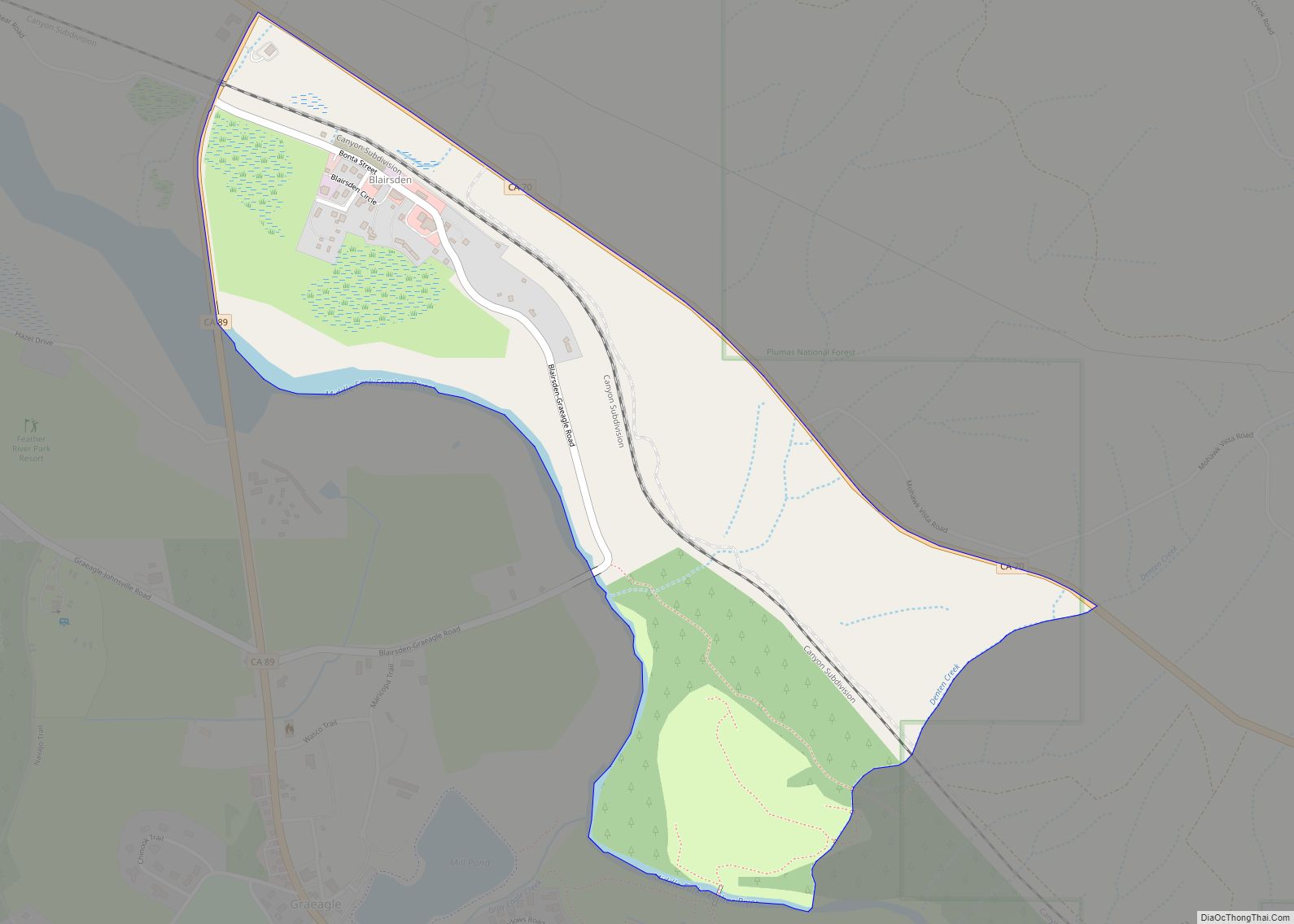
Blairsden is a census-designated place (CDP) in Plumas County, California, United States. Blairsden is located 20 miles (32.2 km) east-southeast of Quincy. The population was 39 at the 2010 census, down from 50 at the 2000 census. Blairsden CDP overview: Name: Blairsden CDP LSAD Code: 57 LSAD Description: CDP (suffix) State: California County: Plumas County Elevation: ... Read more
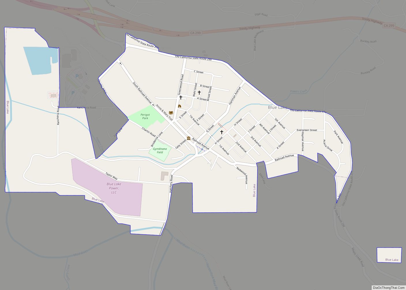
Blue Lake (formerly, Scottsville) is a city in Humboldt County, California, United States. Blue Lake is located on the Mad River in a deep valley, 16 miles (26 km) northeast of Eureka, at an elevation of 131 feet (40 m). Its population is 1,208 as of the 2020 census, down from 1,253 from the 2010 census. ... Read more
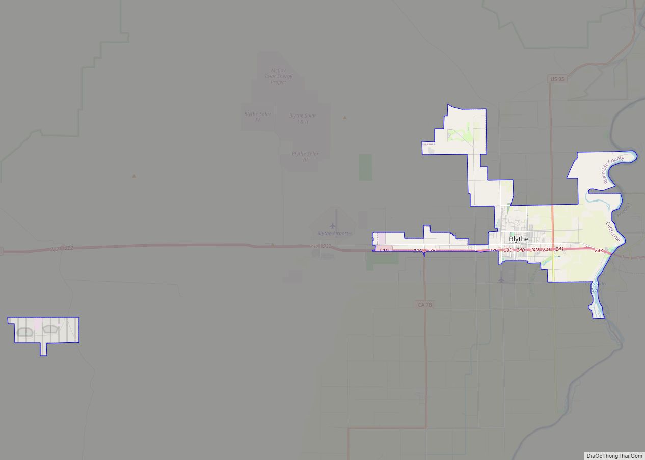
Blythe /ˈblaɪθ/ is a city in eastern Riverside County, California, United States. It is in the Palo Verde Valley of the Lower Colorado River Valley region, an agricultural area and part of the Colorado Desert along the Colorado River, approximately 224 miles (360 km) east of Los Angeles and 150 miles (240 km) west of Phoenix. Blythe ... Read more
