Biggs (formerly, Biggs Station) is a city in Butte County, California, United States. The population was 1,707 at the 2010 census, down from 1,793 at the 2000 census. The 2018 population estimate is 1,724.
| Name: | Biggs city |
|---|---|
| LSAD Code: | 25 |
| LSAD Description: | city (suffix) |
| State: | California |
| County: | Butte County |
| Incorporated: | June 26, 1903 |
| Elevation: | 98 ft (30 m) |
| Total Area: | 0.90 sq mi (2.32 km²) |
| Land Area: | 0.90 sq mi (2.32 km²) |
| Water Area: | 0.00 sq mi (0.00 km²) 0% |
| Total Population: | 1,964 |
| Population Density: | 2,194.41/sq mi (847.61/km²) |
| ZIP code: | 95917 |
| Area code: | 530 |
| FIPS code: | 0606560 |
| Website: | www.biggs-ca.gov |
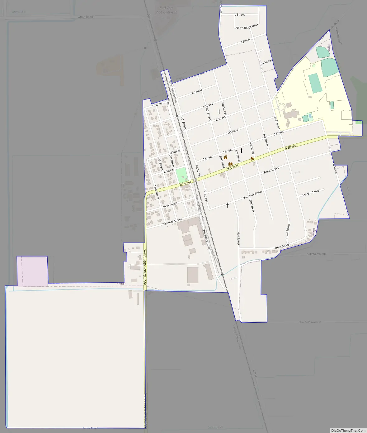
Online Interactive Map
Click on ![]() to view map in "full screen" mode.
to view map in "full screen" mode.
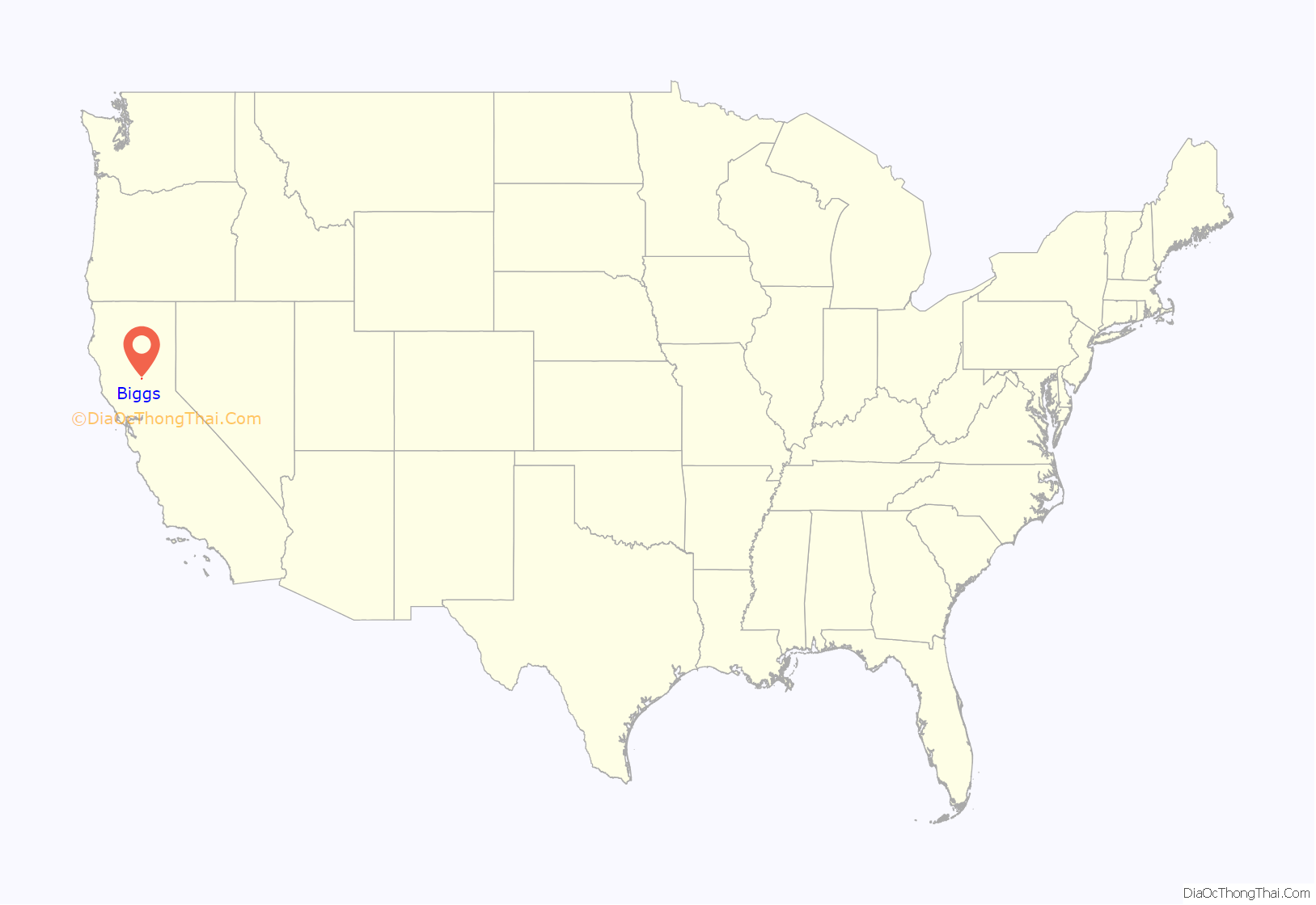
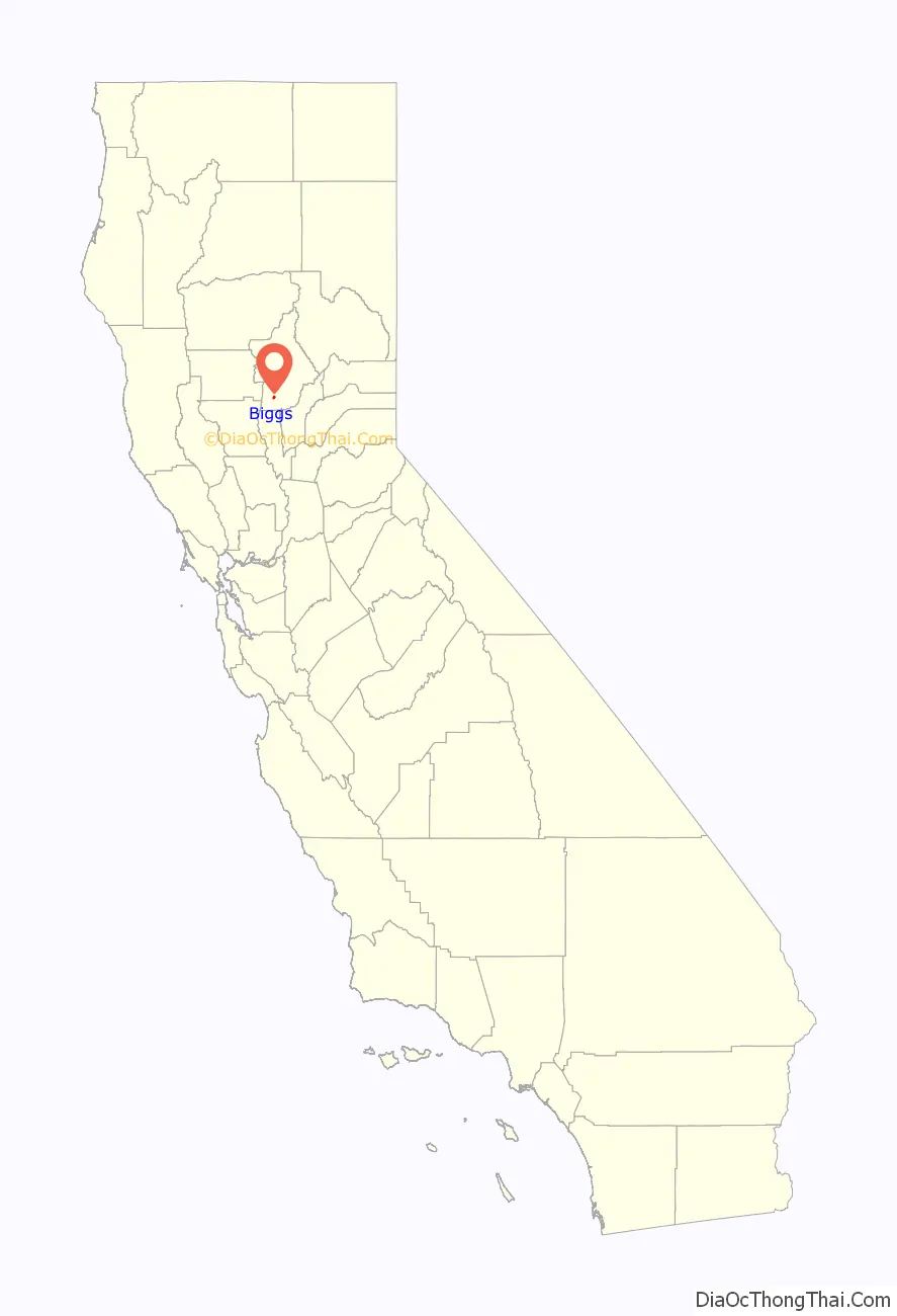
Biggs location map. Where is Biggs city?
History
A post office was established at Biggs Station in 1871, and the name changed to Biggs in 1884. It was incorporated in 1903. Biggs is named for Maj. Marion Biggs, who first shipped grain by rail from the town’s location.
In 1877, ancestors of the scientist Linus Pauling left Missouri and travelled to California, where they lived for a time in Biggs, “a settlement composed mostly of Germans” (the ancestors in question were themselves of German descent).
In late 2002, the town’s mayor received a letter from Jeff Manning, executive director of the California Milk Processor Board, proposing that the town change its name to “Got Milk?”. The town council of Biggs subsequently rejected the proposal.
As of 2019, Biggs has been declared a sister city to Woburn, MA by the mayor of Woburn—Ralph Grande.
Biggs Road Map
Biggs city Satellite Map

Geography
Biggs is located at 39°24′50″N 121°42′37″W / 39.41389°N 121.71028°W / 39.41389; -121.71028 (39.413820, -121.710316).
According to the United States Census Bureau, the city has a total area of 0.6 square miles (1.6 km), all of it land.
See also
Map of California State and its subdivision:- Alameda
- Alpine
- Amador
- Butte
- Calaveras
- Colusa
- Contra Costa
- Del Norte
- El Dorado
- Fresno
- Glenn
- Humboldt
- Imperial
- Inyo
- Kern
- Kings
- Lake
- Lassen
- Los Angeles
- Madera
- Marin
- Mariposa
- Mendocino
- Merced
- Modoc
- Mono
- Monterey
- Napa
- Nevada
- Orange
- Placer
- Plumas
- Riverside
- Sacramento
- San Benito
- San Bernardino
- San Diego
- San Francisco
- San Joaquin
- San Luis Obispo
- San Mateo
- Santa Barbara
- Santa Clara
- Santa Cruz
- Shasta
- Sierra
- Siskiyou
- Solano
- Sonoma
- Stanislaus
- Sutter
- Tehama
- Trinity
- Tulare
- Tuolumne
- Ventura
- Yolo
- Yuba
- Alabama
- Alaska
- Arizona
- Arkansas
- California
- Colorado
- Connecticut
- Delaware
- District of Columbia
- Florida
- Georgia
- Hawaii
- Idaho
- Illinois
- Indiana
- Iowa
- Kansas
- Kentucky
- Louisiana
- Maine
- Maryland
- Massachusetts
- Michigan
- Minnesota
- Mississippi
- Missouri
- Montana
- Nebraska
- Nevada
- New Hampshire
- New Jersey
- New Mexico
- New York
- North Carolina
- North Dakota
- Ohio
- Oklahoma
- Oregon
- Pennsylvania
- Rhode Island
- South Carolina
- South Dakota
- Tennessee
- Texas
- Utah
- Vermont
- Virginia
- Washington
- West Virginia
- Wisconsin
- Wyoming


