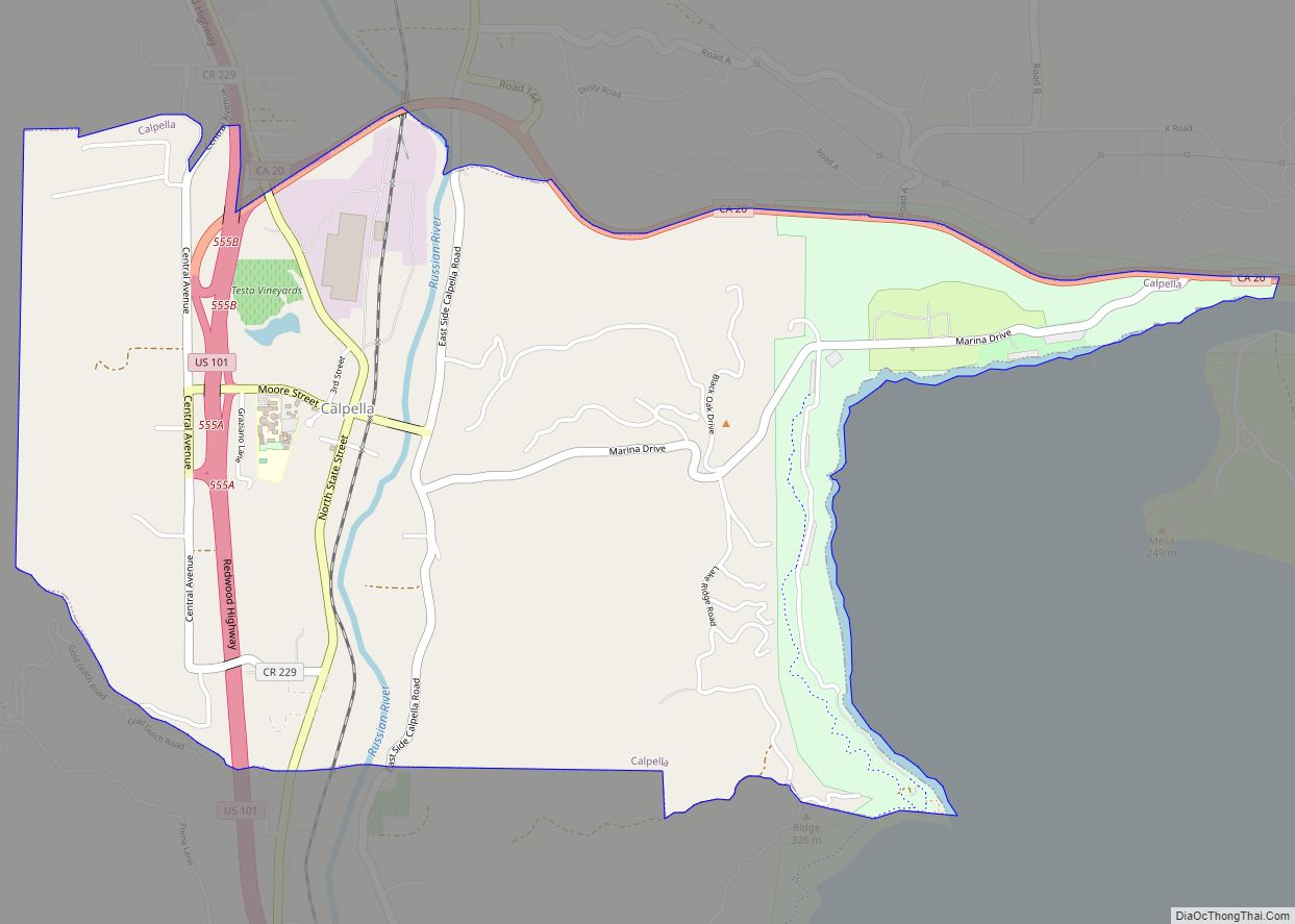
Map of Camarillo city

Map of Camarillo city

Camarillo (/ˌkæməˈriːoʊ/ (listen) KAM-ə-REE-oh) is a city in Ventura County in the U.S. state of California. As of the 2020 United States Census, the population was 70,741, an increase of 5,540 from the 65,201 counted in the 2010 Census. Camarillo is named for brothers Juan and Adolfo Camarillo, prominent Californios who owned Rancho Calleguas and … Read more

Map of Camanche Village CDP

Map of Camanche Village CDP

Camanche Village is a census-designated place in Amador County, California. It lies at an elevation of 276 feet (84 m), and has a population of 847. Camanche Village CDP overview: Name: Camanche Village CDP LSAD Code: 57 LSAD Description: CDP (suffix) State: California County: Amador County Elevation: 276 ft (84 m) Total Area: 5.45 sq mi (14.12 km²) Land Area: … Read more

Map of Camanche North Shore CDP

Map of Camanche North Shore CDP

Camanche North Shore is a census-designated place in Amador County, California. Camanche North Shore sits at an elevation of 308 feet (94 m). The 2010 United States census reported Camanche North Shore’s population was 979. Camanche North Shore CDP overview: Name: Camanche North Shore CDP LSAD Code: 57 LSAD Description: CDP (suffix) State: California County: … Read more

Map of Cambrian Park CDP

Map of Cambrian Park CDP

Cambrian is a neighborhood of San Jose, California, located in West San Jose. Though most of the neighborhood is incorporated as part of San Jose, a small portion exists as an unincorporated census-designated place called Cambrian Park. Cambrian Park CDP overview: Name: Cambrian Park CDP LSAD Code: 57 LSAD Description: CDP (suffix) State: California County: … Read more

Map of Cambria CDP

Map of Cambria CDP, California

Cambria (/ˈkæmbriə/) is a seaside village in San Luis Obispo County, California, United States midway between San Francisco and Los Angeles along California State Route 1 (Highway 1). The name Cambria, chosen in 1869, is the Latin name for Wales. Cambria is situated amidst Monterey pines in one of only three such native forests. Previously, … Read more

Map of Cameron Park CDP

Map of Cameron Park CDP, California

Cameron Park is a census-designated place (CDP) in El Dorado County, California, United States and is part of the Greater Sacramento Area. The population was 19,171 in the 2020 census, up from 18,228 in 2010. Cameron Park is a community located in the Northern California Gold Country of the Sierra Nevada foothills, approximately 30 miles (50 km) east … Read more

Map of Camp Nelson CDP

Map of Camp Nelson CDP

Camp Nelson is a census-designated place in Tulare County, California. Camp Nelson is 12 miles (19 km) east of Springville. Camp Nelson has a post office with ZIP code 93208. The population was 109 at the 2020 census, up from 97 at the 2010 census. Camp Nelson can be reached from Porterville by 33 curvy miles … Read more

Map of Camino CDP

Map of Camino CDP

Camino (Spanish for “Path”) is a census-designated place in El Dorado County, California, and, per the 2010 census, has a population of 1,750. According to the USGS, it lies at an elevation of 3133 feet (955 m). Nearby cities and towns include Pollock Pines, Placerville, Diamond Springs, El Dorado, Grizzly Flats, Somerset, Coloma, Garden Valley, … Read more

Map of Camino Tassajara CDP

Map of Camino Tassajara CDP

Camino Tassajara (Spanish for “Path of Carne Seca”) is a census-designated place in Contra Costa County, California. Camino Tassajara sits at an elevation of 814 feet (248 m). The 2010 United States census reported Camino Tassajara’s population was 2,197. Camino Tassajara CDP overview: Name: Camino Tassajara CDP LSAD Code: 57 LSAD Description: CDP (suffix) State: California … Read more

Map of Campbell city

Map of Campbell city, California

Campbell /ˈkæmbəl/ is a city in Santa Clara County, California, in the San Francisco Bay Area. As of the 2020 U.S. Census, Campbell’s population is 43,959. Campbell is home to the Pruneyard Shopping Center, a sprawling open-air retail complex which was involved in a famous U.S. Supreme Court case that established the extent of the … Read more

Map of Camp Pendleton South CDP

Map of Camp Pendleton South CDP

Camp Pendleton South is a census-designated place (CDP) in San Diego County, California, located at the southwest corner of the Marine Corps Base Camp Pendleton. The population was 10,616 at the 2010 census, up from 8,854 at the 2000 census. Much of the population are residents of Camp Pendleton barracks situated in the area, as … Read more

Map of Camp Pendleton North CDP

Map of Camp Pendleton North CDP

Camp Pendleton Mainside is a census-designated place (CDP) in San Diego County, California, located at the southeast corner of the Marine Corps Base Camp Pendleton. Per the 2020 census, the population was 9,683. It was formerly known as Camp Pendleton North, but its name was changed for the 2020 Census. Along with Camp Pendleton South, … Read more