Cambria (/ˈkæmbriə/) is a seaside village in San Luis Obispo County, California, United States midway between San Francisco and Los Angeles along California State Route 1 (Highway 1). The name Cambria, chosen in 1869, is the Latin name for Wales. Cambria is situated amidst Monterey pines in one of only three such native forests. Previously, the town had gone by the names of Slabtown, Rosaville, San Simeon, and Santa Rosa. For statistical purposes, the United States Census Bureau has defined the unincorporated community as a census-designated place (CDP). The CDP had a population of 5,678 at the 2020 census, down from 6,032 at the 2010 census.
| Name: | Cambria CDP |
|---|---|
| LSAD Code: | 57 |
| LSAD Description: | CDP (suffix) |
| State: | California |
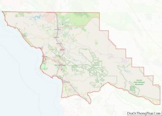
| County: | San Luis Obispo County |
| Elevation: | 43 ft (13 m) |
| Total Area: | 8.42 sq mi (21.80 km²) |
| Land Area: | 8.42 sq mi (21.80 km²) |
| Water Area: | 0.00 sq mi (0.00 km²) 0% |
| Total Population: | 5,678 |
| Population Density: | 674.51/sq mi (260.41/km²) |
| ZIP code: | 93428 |
| Area code: | 805 |
| FIPS code: | 0610074 |
Online Interactive Map
Click on ![]() to view map in "full screen" mode.
to view map in "full screen" mode.
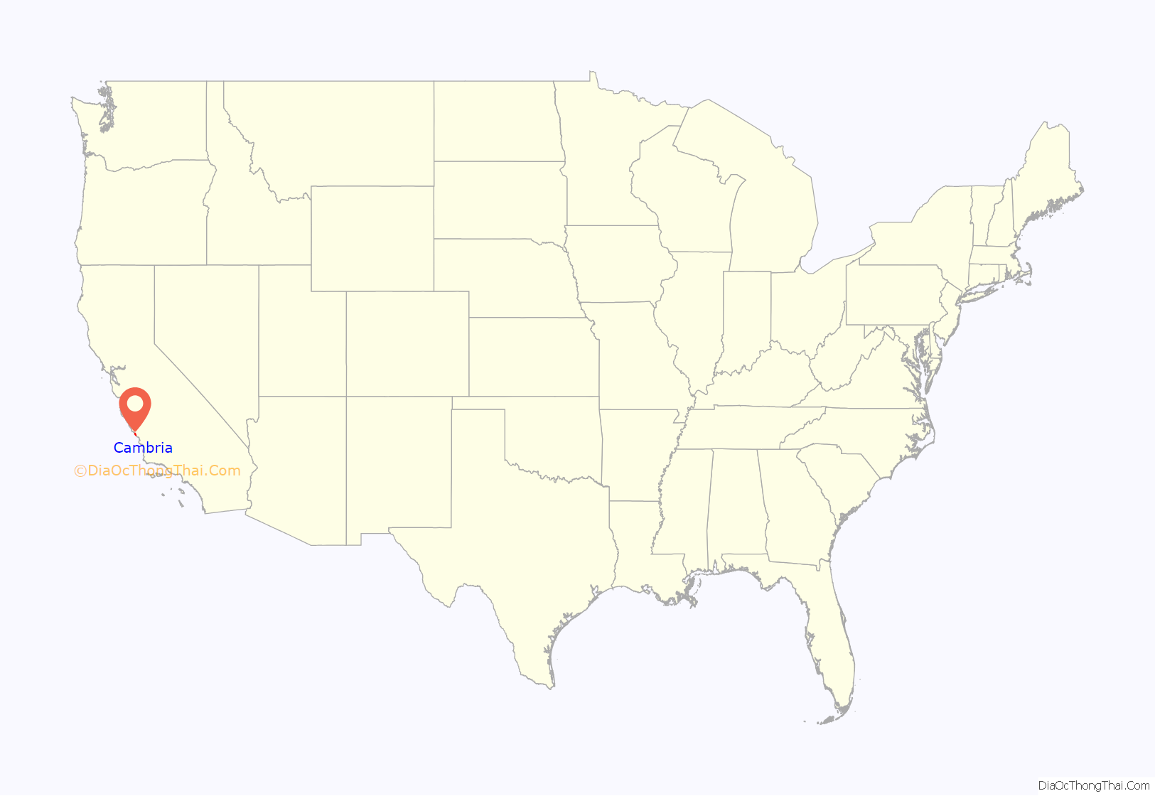
Cambria location map. Where is Cambria CDP?

History
Local tribes
The earliest human settlement of this area is known to be associated with prehistoric habitation by the Native American Chumash peoples, who harvested along the coastal area, with emphasis upon sites that were close to rivers.
Although recorded history of the tribes in this region does not begin until the explorers and missionaries arrived, there is evidence of many tribal settlements in the area later known as Cambria. It is estimated that as many as 30,000 people inhabited the area in the time (some 1,000 years) before the Spanish arrived. Experts believe these tribes to have been migratory and used Cambria as a seasonal settlement; other scientists are convinced that they lived there permanently. Most agree that they fed themselves with shellfish and seafood, as well as obtaining food from travels inland to hunt and gather seeds. A variety of artistically-crafted implements have been discovered, including spears points and arrowheads made from obsidian; basalt, sandstone, and granite were used to make mortars and pestles; soapstone kettles and stone hammers were also found. These early inhabitants were skilled basket and net makers and fashioned jewelry from crab claws, abalone shells, and the teeth of sharks and whales. The presence of soapstone (steatite) provides evidence that they traded with the Catalina Island tribes, whereas the lack of metals and glass indicates that they did not trade with Europeans or Asians.
A tribal site on present-day Cambria was named tsɨtkawayu, Obispeño for “Place of the horses”.
Early settlers and quicksilver
The first recorded visit by Europeans took place in 1769 when the Portola expedition, coming overland from the south, visited the area. The Spanish explorers camped near the present site of the Coast Union High School, on Santa Rosa Creek, on September 10, 1769, and again on December 24–25, spending the first Christmas in what later became known as Cambria. The Spanish soldiers named the site El Osito, because the local Chumash people offered them a young pet bear (which they politely refused). Gifts of food (pinole and fish) were particularly welcome on their return journey, because food supplies were running short.
Cambria is located on the Rancho Santa Rosa Mexican land grant given in 1841 to Julian Estrada.
Settlers were drawn to the area because of the fertile land, streams, and lumber. Additionally, miners were attracted to the area by the 1862 discovery of cinnabar, an ore from which mercury can be extracted. For a while, Cambria was a boom town, with $280,000 worth of mercury shipped out of San Simeon between 1867 and 1870.
During several years Cambria was a booming mine town, and prospectors flooded the area. More than 150 claims were filed in the early 1870s. The most successful of these claims, the Oceanic Quicksilver Mining Company, at one time employed 300 and was the largest mine in the area and the sixth largest in the world. Three furnaces were built, seven tunnels completed, and their stock price jumped to $30.00 per share. Hopes were high, and Cambria residents dreamed of imminent wealth. Unfortunately, by 1878, mercury prices started to fall and Cambria’s first economic boom ended. As mercury prices fluctuated, Cambria’s mining thrived and dwindled. During the boom of 1876, $282,832 worth of quicksilver was produced; four years later, production had decreased to only $6,760. A devastating fire in 1889 virtually ended the mercury business and Cambria settled into a quiet dairy community.
Originally an American settlement called Slab Town, the town later known as Cambria was centered at the Leffingwell cove of today’s northern Moonstone Beach, which beach also featured a wharf. Because lumber production, ranching activities and mercury mining increased in the area, the village adopted the more dignified name of Cambria. Locals seem to agree that the name was contributed by a local surveyor from Cambria County, Pennsylvania, because the local topography and flora reminded him of that place. However this differs from Onomastic data published in several other sources. A 1960 study of California place names, often contemporarily quoted elsewhere states “A Welshman named Llewellyn dubbed his shop ‘The Cambria Carpenter Shop,’ and in 1869, the good folks adopted it as the official name.” Forty-three years prior to that, the History of San Luis Obispo County and environs contains a similar account:
Hearst Castle and SS Montebello
Cambria has benefited greatly from the building of Hearst Castle. During the high unemployment years of the Great Depression, many Cambria citizens found welcome employment in construction. Additionally, Cambria provided supplies, services, and accommodations for many who came to build the Castle, creating prosperity in Cambria in an otherwise less prosperous decade.
War affected Cambria when the 8,000 ton Union Oil tanker SS Montebello was attacked and sunk by a Japanese submarine in the early morning of 23 December 1941. Cambria citizens rallied to the rescue and all six crewmen were saved. According to the captain, Olaf Eckstrom, these citizens of Cambria were real heroes: “God Bless ’em — they performed like American seamen, orderly, efficient, without hysteria.”
The historic Old Santa Rosa Chapel, which was built in 1870, and as one of the oldest churches in the county of San Luis Obispo, held Catholic mass until 26 May 1963. The church fell into neglect until 1978, when the chapel and cemetery were restored.
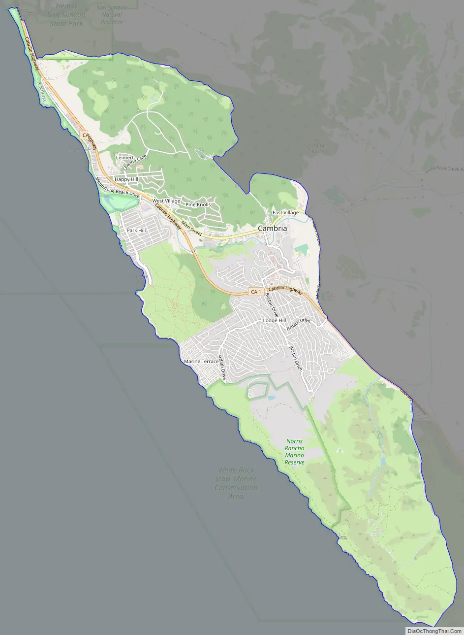
Cambria Road Map
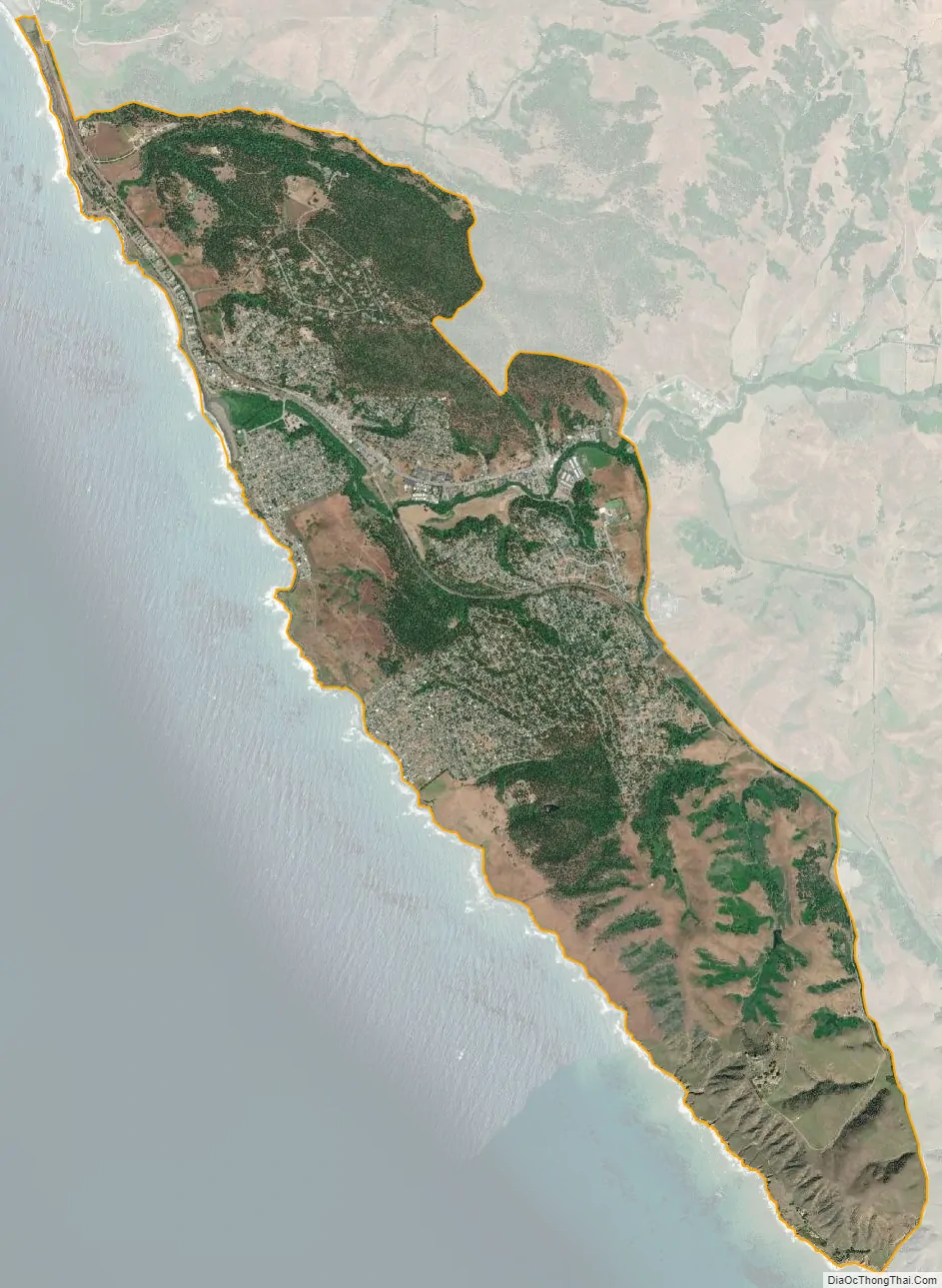
Cambria city Satellite Map
Geography
According to the United States Census Bureau, the CDP has a total area of 8.5 square miles (22 km), all of it land.
Climate
Cambria has a warm-summer (csb)Mediterranean climate typical for the coastal regions of southern California, experiencing an Indian summer with the warmest days in August and September. Winters are cool and wet with mild days, chilly nights, and great rainfall. Summers are warm and dry with sometimes hot days, cool nights, and almost no rainfall.
See also
Map of California State and its subdivision:- Alameda
- Alpine
- Amador
- Butte
- Calaveras
- Colusa
- Contra Costa
- Del Norte
- El Dorado
- Fresno
- Glenn
- Humboldt
- Imperial
- Inyo
- Kern
- Kings
- Lake
- Lassen
- Los Angeles
- Madera
- Marin
- Mariposa
- Mendocino
- Merced
- Modoc
- Mono
- Monterey
- Napa
- Nevada
- Orange
- Placer
- Plumas
- Riverside
- Sacramento
- San Benito
- San Bernardino
- San Diego
- San Francisco
- San Joaquin
- San Luis Obispo
- San Mateo
- Santa Barbara
- Santa Clara
- Santa Cruz
- Shasta
- Sierra
- Siskiyou
- Solano
- Sonoma
- Stanislaus
- Sutter
- Tehama
- Trinity
- Tulare
- Tuolumne
- Ventura
- Yolo
- Yuba
- Alabama
- Alaska
- Arizona
- Arkansas
- California
- Colorado
- Connecticut
- Delaware
- District of Columbia
- Florida
- Georgia
- Hawaii
- Idaho
- Illinois
- Indiana
- Iowa
- Kansas
- Kentucky
- Louisiana
- Maine
- Maryland
- Massachusetts
- Michigan
- Minnesota
- Mississippi
- Missouri
- Montana
- Nebraska
- Nevada
- New Hampshire
- New Jersey
- New Mexico
- New York
- North Carolina
- North Dakota
- Ohio
- Oklahoma
- Oregon
- Pennsylvania
- Rhode Island
- South Carolina
- South Dakota
- Tennessee
- Texas
- Utah
- Vermont
- Virginia
- Washington
- West Virginia
- Wisconsin
- Wyoming