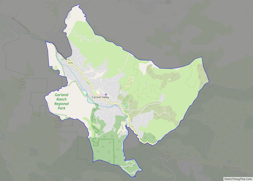
Carmel Valley Village is an unincorporated community and census-designated place (CDP) in Monterey County, California, United States. In 1946, Byington Ford and Tirey L. Ford Jr. developed the Carmel Valley Village, which included an airpark, shops, and homes. At the time of the 2020 census the CDP population was 4,524, up from 4,407 at the ... Read more
California Cities and Places
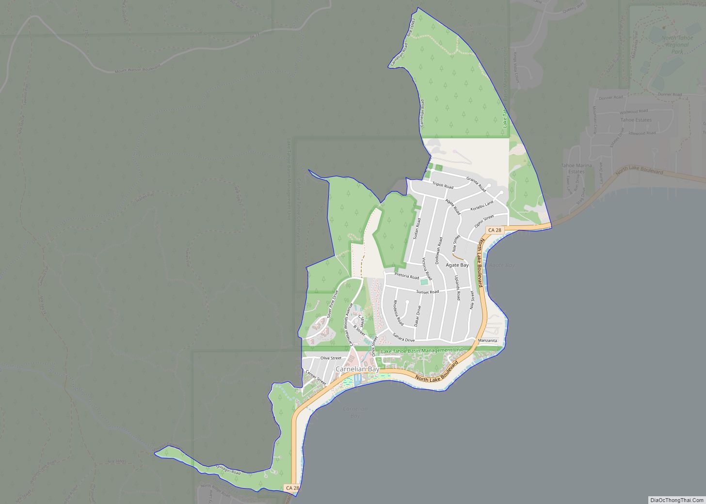
Carnelian Bay (formerly, Cornelian Bay) is an unincorporated community on the shore of Lake Tahoe in Placer County, California, United States. The Cornelian Bay post office operated from 1883 to 1887 and from 1891 to 1893. The Carnelian Bay post office opened in 1908. For statistical purposes, the United States Census Bureau has defined Carnelian ... Read more
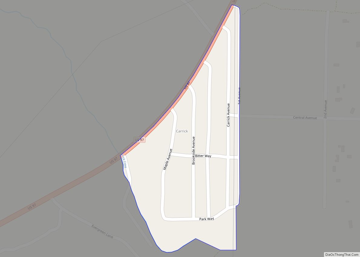
Carrick is a census-designated place (CDP) in Siskiyou County, California, United States. Its population is 143 as of the 2020 census, up from 131 from the 2010 census. Carrick is located just outside the town of Weed, uses Weed in its mailing addresses and is generally viewed by locals as a neighborhood of Weed, though ... Read more
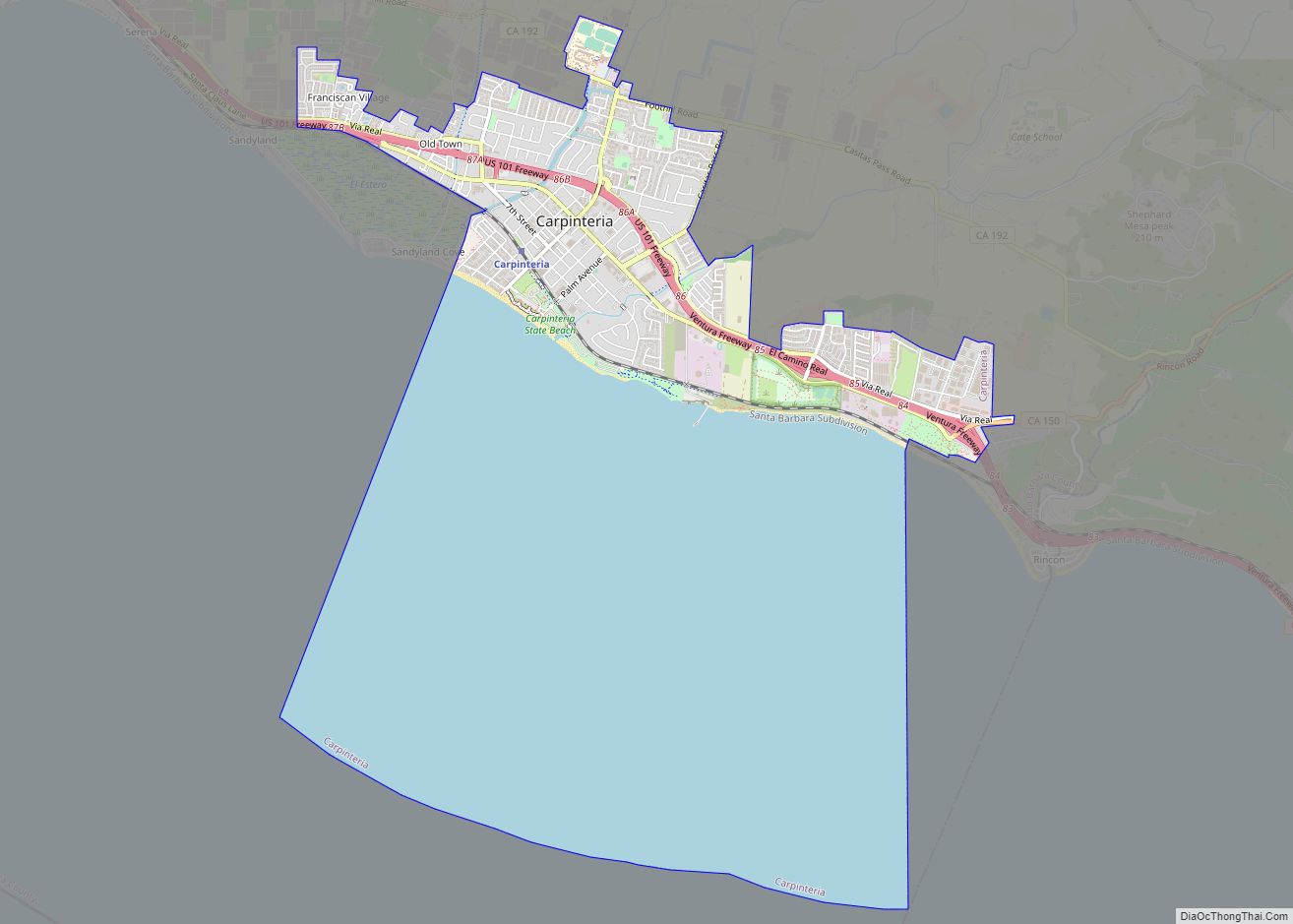
Carpinteria (/kɑːrpɪntəˈriːə/; Spanish: Carpintería, meaning “Carpentry”) is a small seaside city in southeastern Santa Barbara County, California. Located on the Central Coast of California, it had a population of 13,264 at the 2020 census. Carpinteria is a popular surf destination; the city embraced the slogan “World’s Safest Beach” in 1912, which it still uses today. ... Read more
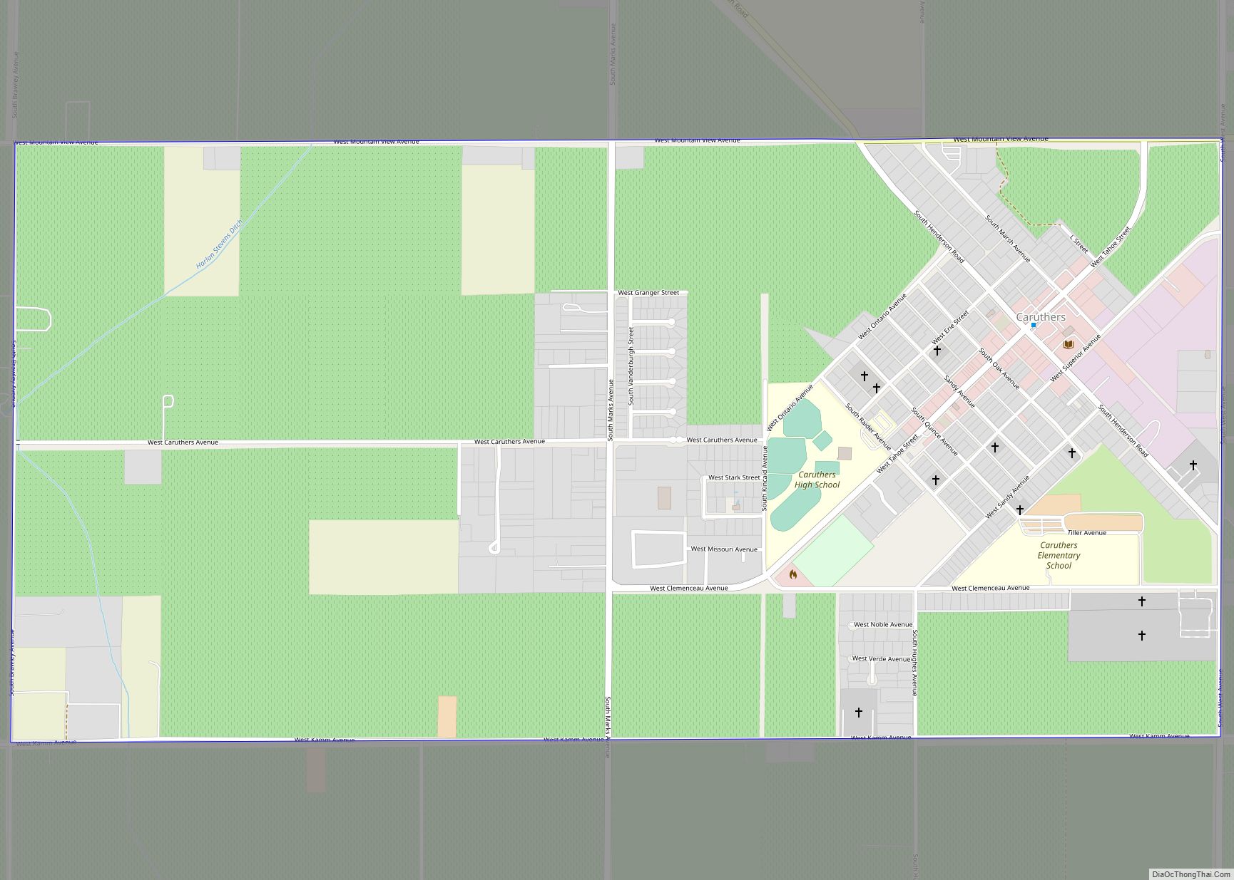
Caruthers (/kəˈrʌðərz/) is a census-designated place (CDP) in Fresno County, California, United States. The population was 2,497 at the 2010 census, up from 2,103 at the 2000 census. Caruthers is located 15 miles (24 km) south of downtown Fresno, at an elevation of 246 feet (75 m). Caruthers CDP overview: Name: Caruthers CDP LSAD Code: 57 ... Read more
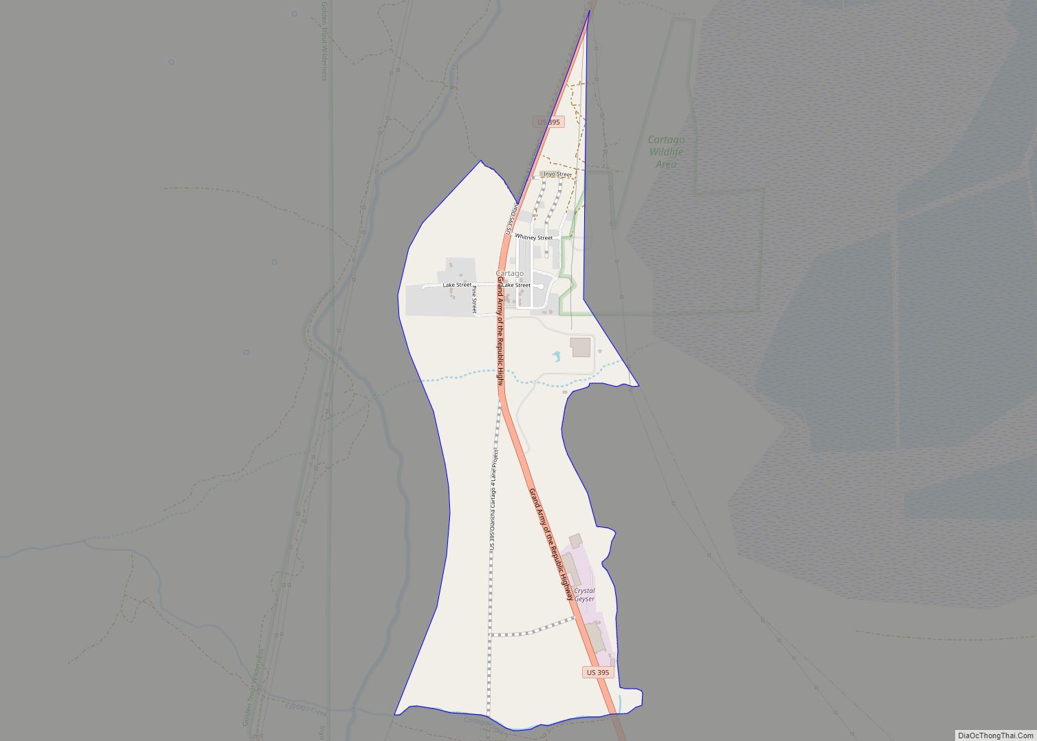
Cartago (Spanish for “Carthage”) is a census-designated place in Inyo County, California, United States. Cartago is located on the west side of Owens Lake 3 miles (4.8 km) north-northwest of Olancha, at an elevation of 3629 feet (1106 m). The population was 92 at the 2010 census, down from 109 at the 2000 census. Cartago CDP ... Read more
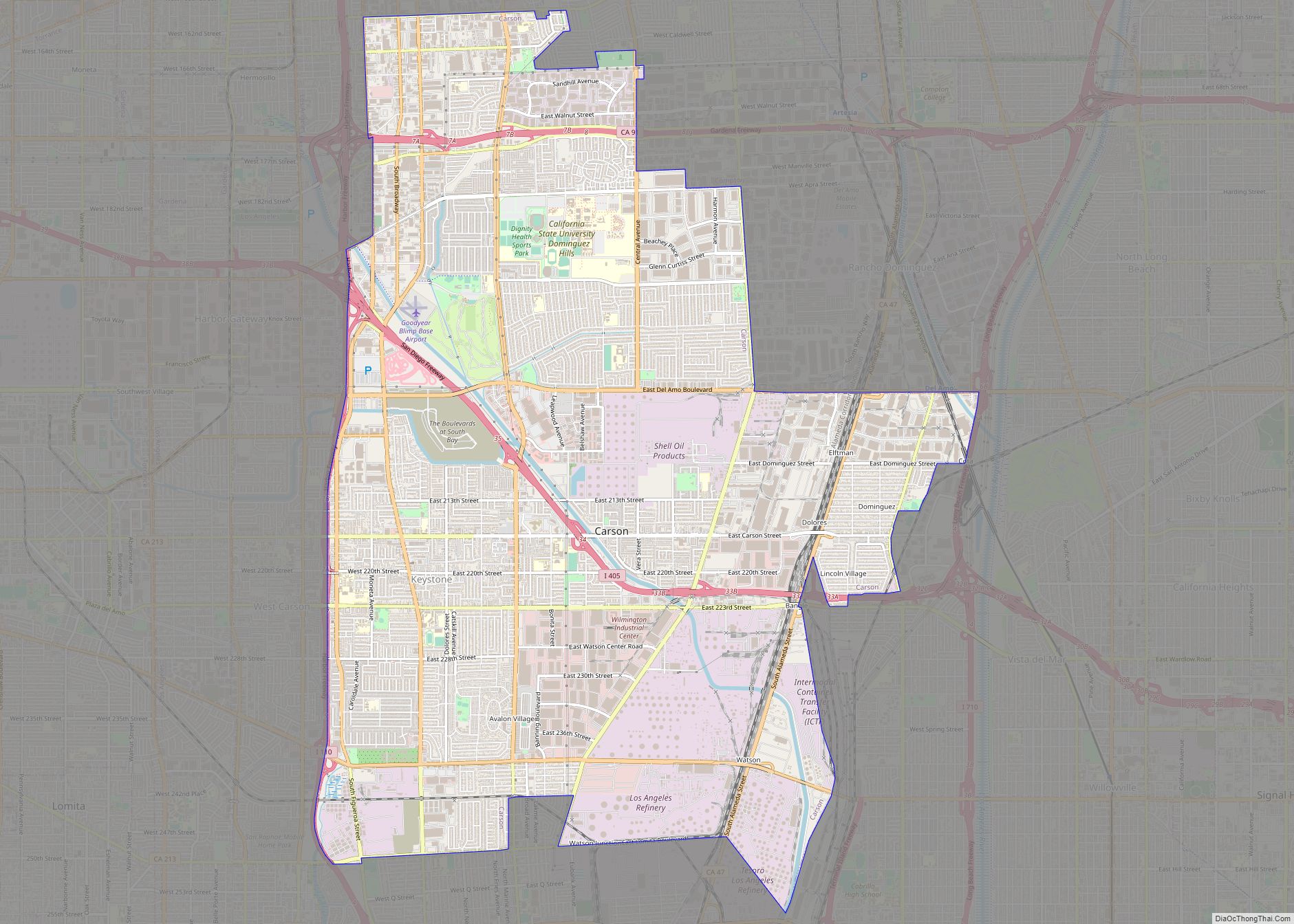
Carson is a city in Los Angeles County, California, United States, in the South Bay region of Los Angeles, located 13 miles (21 km) south of downtown Los Angeles and approximately 14 miles (23 km) away from Los Angeles International Airport. Incorporated on February 20, 1968, Carson is the newest municipality in the South Bay region of ... Read more
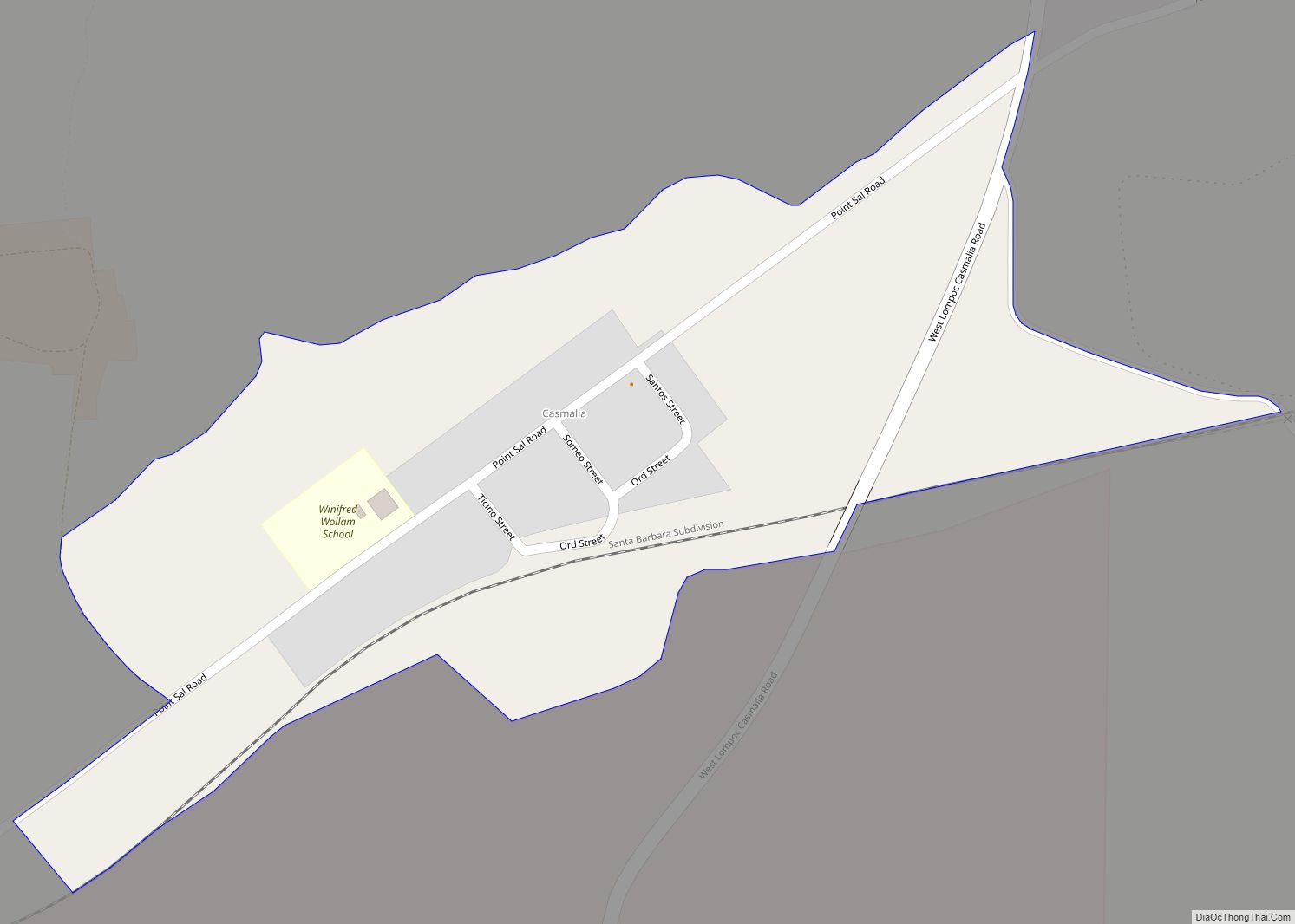
Casmalia (Chumash: Kasma’li, meaning “it is the last”) is a census-designated place (CDP) in Santa Barbara County, California located just outside the borders of Vandenberg Air Force Base about 5 miles (8.0 km) southwest of Santa Maria. The ZIP Code is 93429, and the community is inside area code 805. The population was 138 at the ... Read more
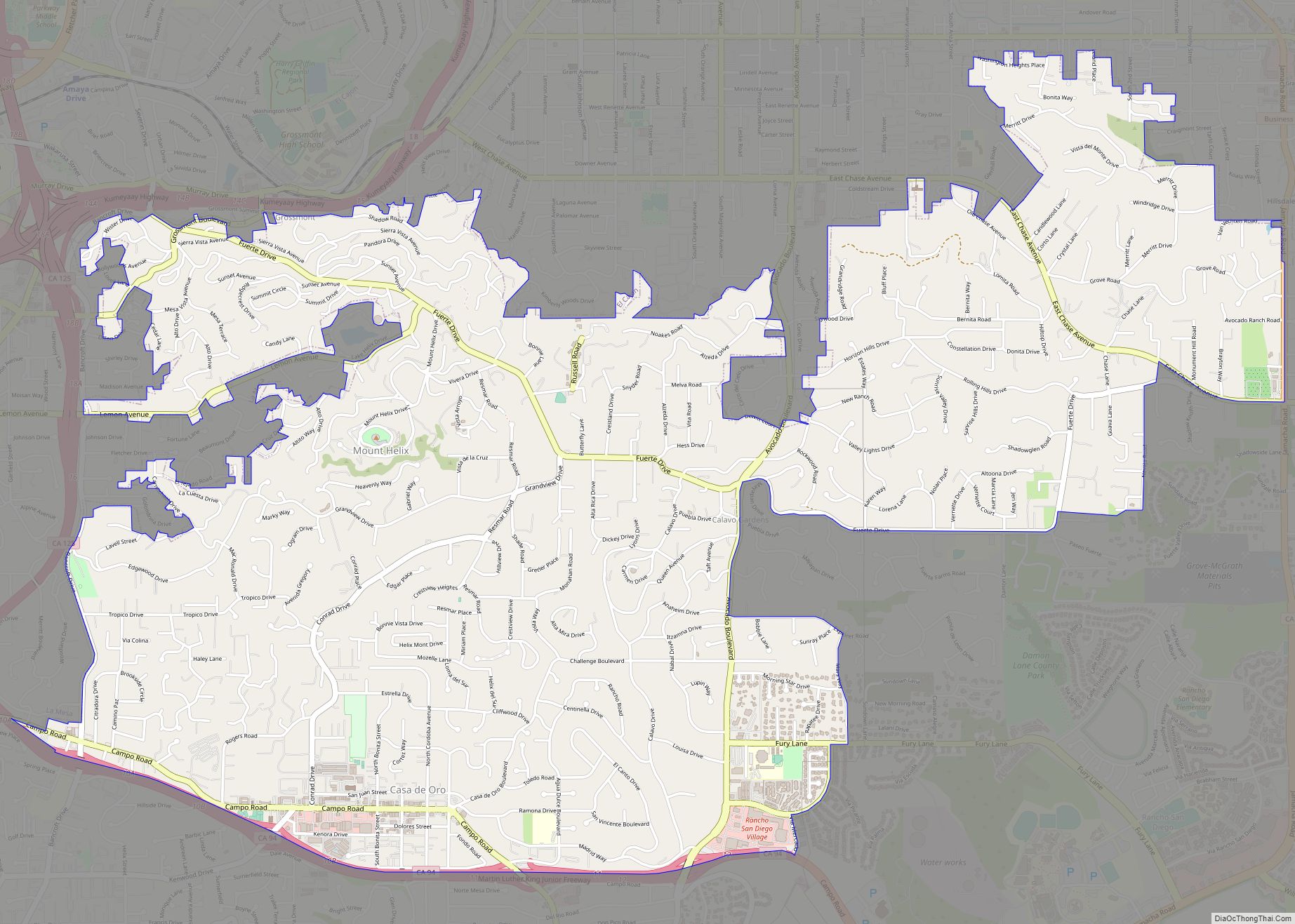
Casa de Oro-Mount Helix is a census-designated place (CDP) in the East County region of San Diego County, California. The CDP encompasses several unincorporated neighborhoods near the cities of El Cajon and La Mesa and the CDP of Spring Valley. Locations in the northern (Mount Helix) part of the CDP use La Mesa addresses, while ... Read more
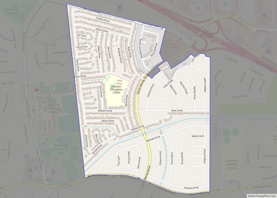
Casa Conejo (/ˌkɑːsə kəˈneɪoʊ/ (listen); Spanish for “Rabbit House”) is an unincorporated county island in Newbury Park, Ventura County, California, United States. It was the first planned community in Newbury Park and began building in 1960. When the city of Thousand Oaks incorporated 4 years later, the new developments in Newbury Park were incorporated into ... Read more
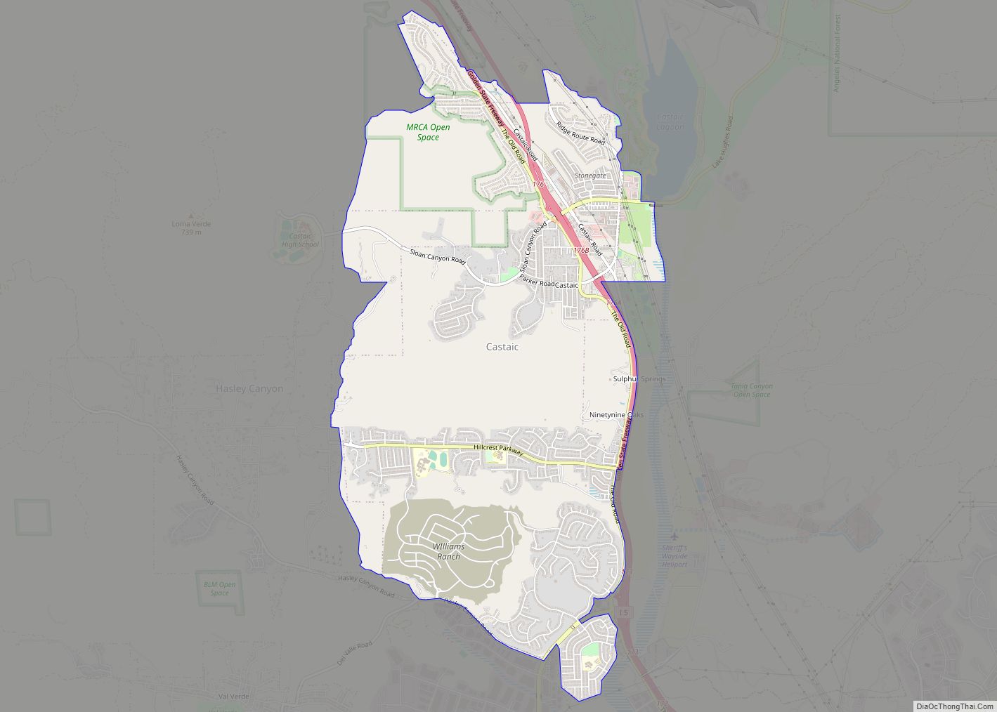
Castaic (/kəˈsteɪ.ɪk/ (listen)) (Chumash: Kaštiq; Spanish: Castéc) is an unincorporated community in the northwestern part of Los Angeles County, California. As of the 2010 census it had a population of 19,015. For statistical purposes the Census Bureau has defined Castaic as a census-designated place (CDP). Tens of thousands of motorists pass through Castaic daily as ... Read more
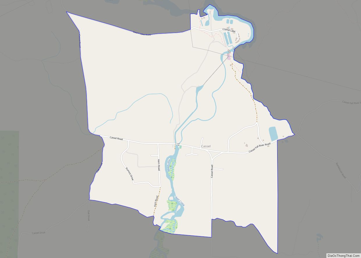
Cassel is a census-designated place (CDP) in Shasta County, California. Cassel sits at an elevation of 3,176 feet (968 m). Its population is 207 as of the 2020 census, remaining the same from the 2010 census. The ZIP Code is 96016. The community is inside area code 530. Cassel CDP overview: Name: Cassel CDP LSAD Code: ... Read more
