Carpinteria (/kɑːrpɪntəˈriːə/; Spanish: Carpintería, meaning “Carpentry”) is a small seaside city in southeastern Santa Barbara County, California. Located on the Central Coast of California, it had a population of 13,264 at the 2020 census. Carpinteria is a popular surf destination; the city embraced the slogan “World’s Safest Beach” in 1912, which it still uses today.
| Name: | Carpinteria city |
|---|---|
| LSAD Code: | 25 |
| LSAD Description: | city (suffix) |
| State: | California |
| County: | Santa Barbara County |
| Incorporated: | September 28, 1965 |
| Elevation: | 33 ft (10 m) |
| Total Area: | 9.27 sq mi (24.02 km²) |
| Land Area: | 2.59 sq mi (6.70 km²) |
| Water Area: | 6.68 sq mi (17.31 km²) 72.11% |
| Total Population: | 13,264 |
| Population Density: | 5,125.19/sq mi (1,978.51/km²) |
| ZIP code: | 93013-93014 |
| Area code: | 805 |
| FIPS code: | 0611446 |
| Website: | www.carpinteria.ca.us |
Online Interactive Map
Click on ![]() to view map in "full screen" mode.
to view map in "full screen" mode.
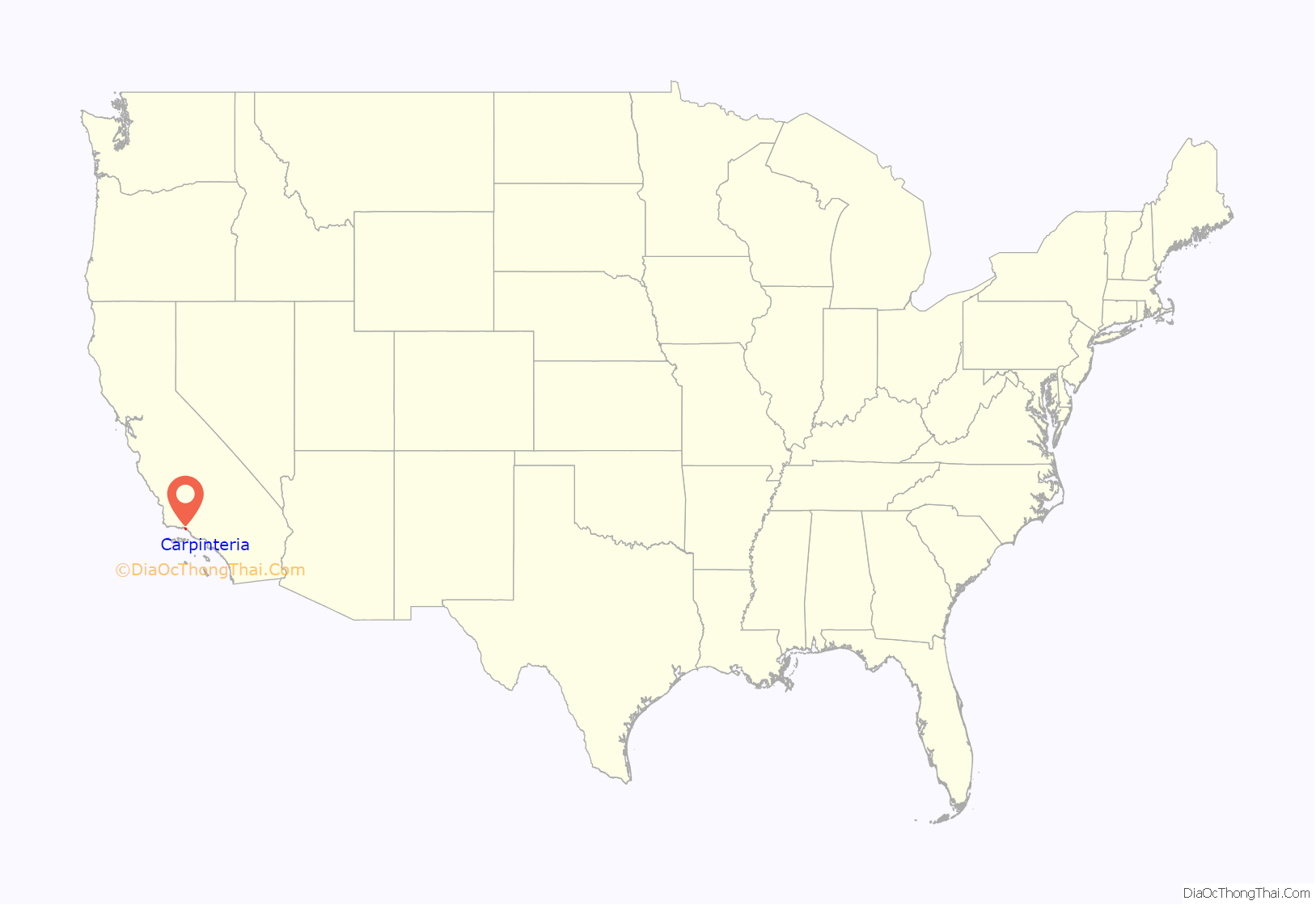
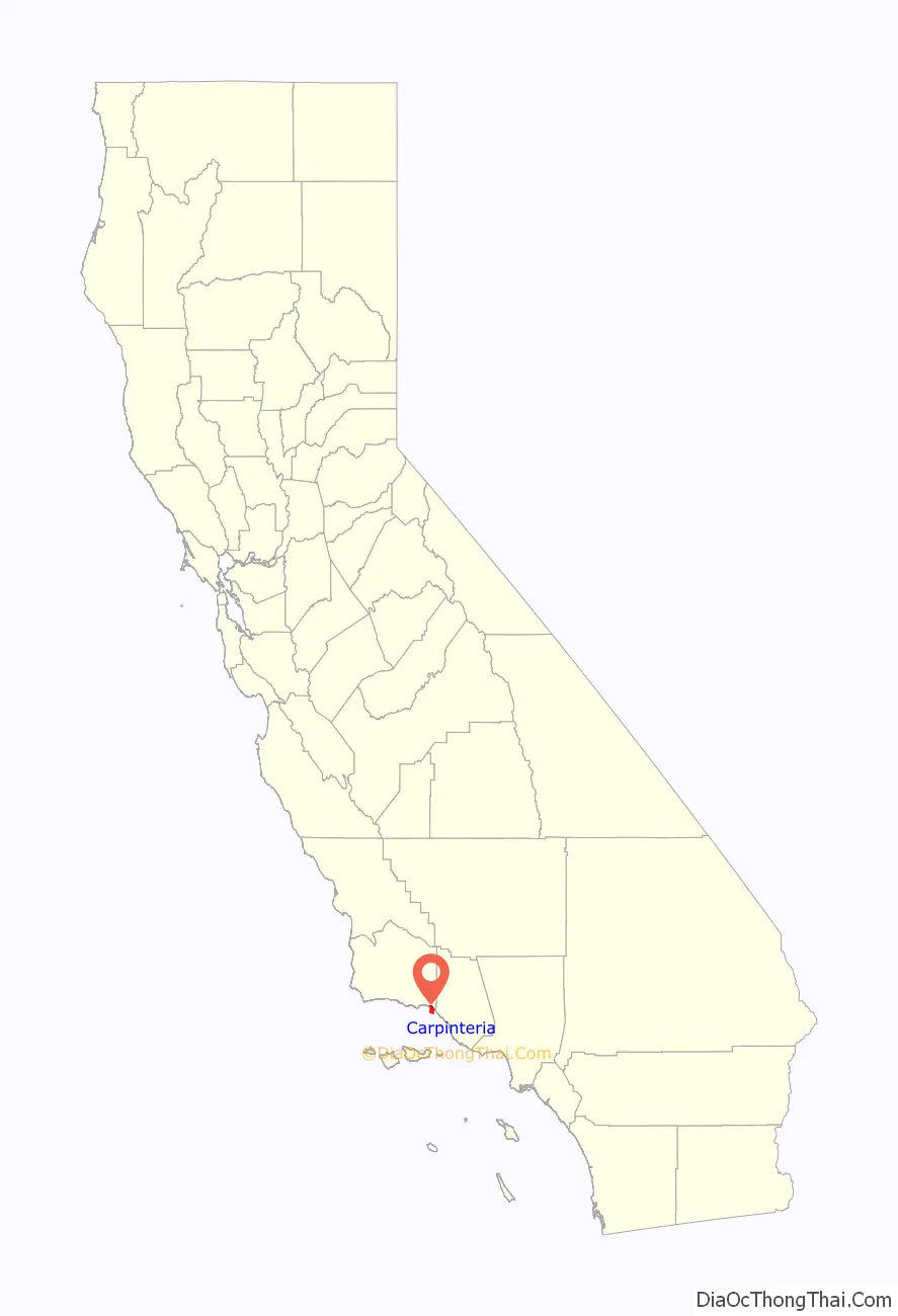
Carpinteria location map. Where is Carpinteria city?
History
Carpinteria was home to a Chumash village during pre-colonial times, which was known as Šujtu.
In 1769, the Spanish Portolá expedition came west along the beach from the previous night’s encampment at Rincon. The explorers found a large native village on the point of land where Carpinteria Pier is today. The party camped nearby on August 17. Fray Juan Crespí, a Franciscan missionary travelling with the expedition, noted that “Not far from the town we saw some springs of pitch. The Indians have many canoes, and at the time were building one, for which reason the soldiers named this town La Carpinteria” (the carpentry shop).
The Chumash people used the naturally occurring surface asphalt to seal their canoes, known as Tomols. Petroleum seeps are still visible along the beach bluffs at Tar Pits Park on the campground beach of Carpinteria State Beach. The three closest drilling platforms visible from the shore are within the Carpinteria Offshore Oil Field, the 50th-largest field in California.
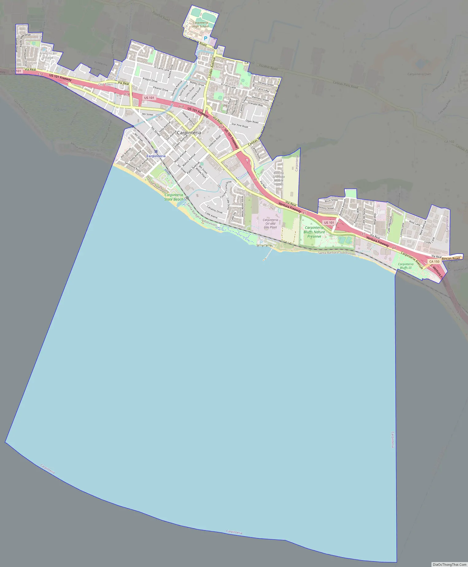
Carpinteria Road Map
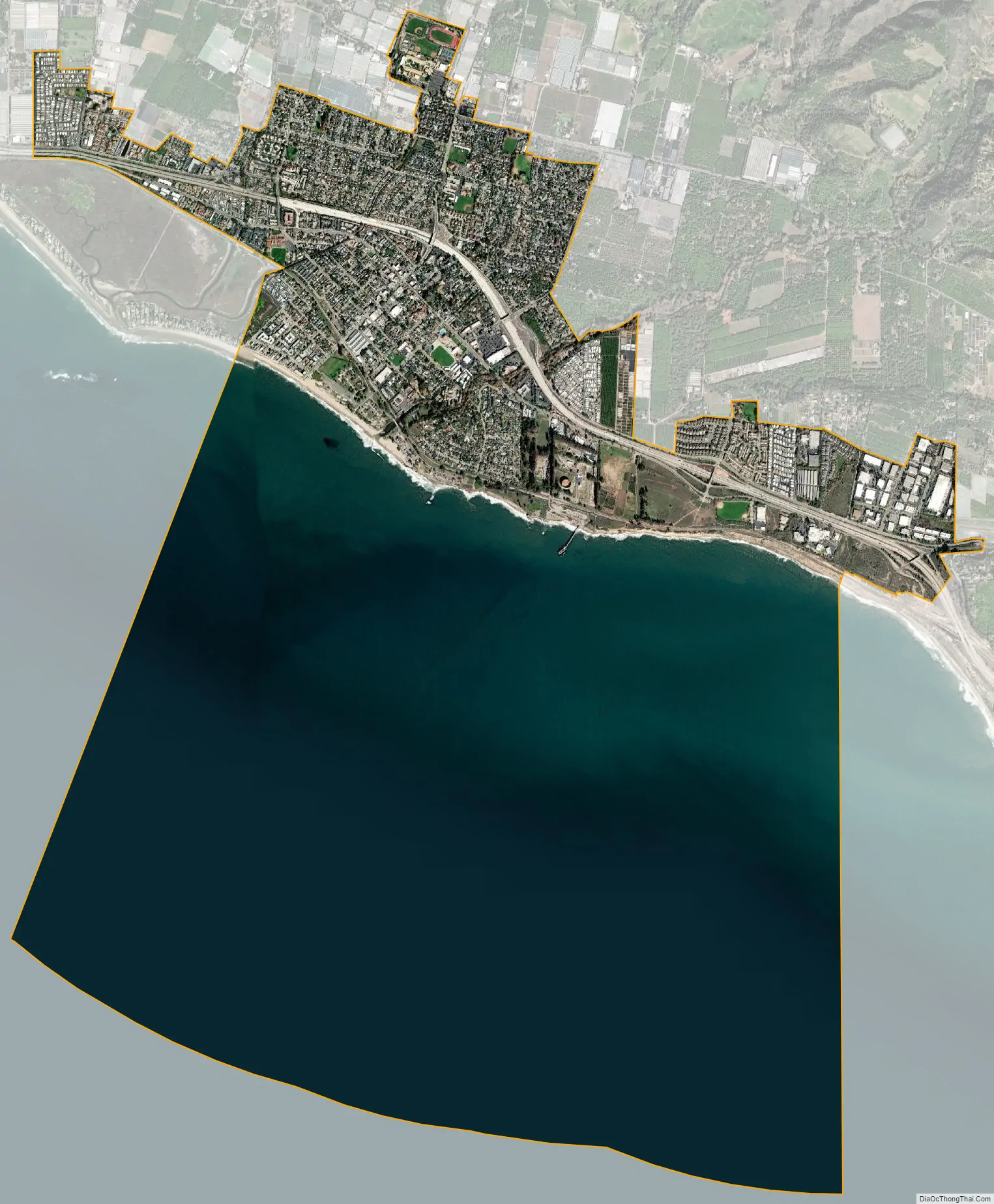
Carpinteria city Satellite Map
Geography
According to the United States Census Bureau, the city has a total area of 9.2 square miles (24 km), of which 2.6 square miles (6.7 km) is land and 6.7 square miles (17 km) (72.11%) is water.
The city is located almost entirely on a coastal plain in between the Santa Ynez Mountains and the Pacific Ocean. Immediately to the north of Carpinteria lie foothills and then the Santa Ynez Mountains. Between the foothills and the populated area of the city is an agricultural zone. The mountains provide a scenic backdrop to town, covered in chaparral and displaying prominent sandstone outcrops. Because of the well-ventilated nature of the air basin, ozone concentrations are low while air quality is high.
Seals and sea lions can be seen in the area December through May at the rookery in the nearby Carpinteria Bluffs, as well as an occasional gray whale. Tidepools contain starfish, sea anemones, crabs, snails, octopuses and sea urchins.
There is bird watching at Carpinteria Salt Marsh Reserve, established in 1977 and administered by the Natural Reserve System of the University of California.
The Wardholme Torrey Pine, the largest known Torrey pine tree on earth, is located in downtown Carpinteria.
Climate
This region experiences warm (but not hot) and dry summers, with no average monthly temperatures above 71.6 °F. According to the Köppen Climate Classification system, Carpinteria has a warm-summer Mediterranean climate, abbreviated “Csb” on climate maps.
See also
Map of California State and its subdivision:- Alameda
- Alpine
- Amador
- Butte
- Calaveras
- Colusa
- Contra Costa
- Del Norte
- El Dorado
- Fresno
- Glenn
- Humboldt
- Imperial
- Inyo
- Kern
- Kings
- Lake
- Lassen
- Los Angeles
- Madera
- Marin
- Mariposa
- Mendocino
- Merced
- Modoc
- Mono
- Monterey
- Napa
- Nevada
- Orange
- Placer
- Plumas
- Riverside
- Sacramento
- San Benito
- San Bernardino
- San Diego
- San Francisco
- San Joaquin
- San Luis Obispo
- San Mateo
- Santa Barbara
- Santa Clara
- Santa Cruz
- Shasta
- Sierra
- Siskiyou
- Solano
- Sonoma
- Stanislaus
- Sutter
- Tehama
- Trinity
- Tulare
- Tuolumne
- Ventura
- Yolo
- Yuba
- Alabama
- Alaska
- Arizona
- Arkansas
- California
- Colorado
- Connecticut
- Delaware
- District of Columbia
- Florida
- Georgia
- Hawaii
- Idaho
- Illinois
- Indiana
- Iowa
- Kansas
- Kentucky
- Louisiana
- Maine
- Maryland
- Massachusetts
- Michigan
- Minnesota
- Mississippi
- Missouri
- Montana
- Nebraska
- Nevada
- New Hampshire
- New Jersey
- New Mexico
- New York
- North Carolina
- North Dakota
- Ohio
- Oklahoma
- Oregon
- Pennsylvania
- Rhode Island
- South Carolina
- South Dakota
- Tennessee
- Texas
- Utah
- Vermont
- Virginia
- Washington
- West Virginia
- Wisconsin
- Wyoming


