Carson is a city in Los Angeles County, California, United States, in the South Bay region of Los Angeles, located 13 miles (21 km) south of downtown Los Angeles and approximately 14 miles (23 km) away from Los Angeles International Airport. Incorporated on February 20, 1968, Carson is the newest municipality in the South Bay region of Metropolitan Los Angeles. The city is locally known for its plurality of Filipino-Americans and immigrants. As of 2019, it was estimated that the city had a population of 91,394.
| Name: | Carson city |
|---|---|
| LSAD Code: | 25 |
| LSAD Description: | city (suffix) |
| State: | California |
| County: | Los Angeles County |
| Incorporated: | February 20, 1968 |
| Elevation: | 39 ft (12 m) |
| Total Area: | 18.97 sq mi (49.12 km²) |
| Land Area: | 18.73 sq mi (48.51 km²) |
| Water Area: | 0.24 sq mi (0.61 km²) 1.29% |
| Total Population: | 95,558 |
| Population Density: | 5,101.60/sq mi (1,969.77/km²) |
| ZIP code: | 90745–90747, 90749, 90810, 90895 |
| Area code: | 310/424 |
| FIPS code: | 0611530 |
| Website: | ci.carson.ca.us |
Online Interactive Map
Click on ![]() to view map in "full screen" mode.
to view map in "full screen" mode.
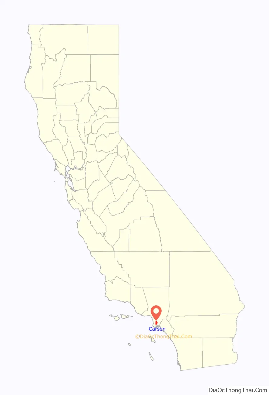
Carson location map. Where is Carson city?

History
The year 1921 marked the first drilling for oil at Dominguez Hill, on the northwest side of the Rancho San Pedro (also called Rancho Domínguez), site of the famous battle during the Mexican–American War called the Battle of Rancho Domínguez in 1846. The mineral rights to this property were owned by Carson Estate Company, the Hellman Family, the Dominguez Estate Company, and the Burnham Exploration Company of Frederick Russell Burnham. On September 7, 1923, Burnham Exploration partnering with Union Oil brought in the first producer on the site: Callender No. 1-A well at a depth of 4,068 feet (1,240 m) and 1,193 barrels per day (189.7 m/d). Before long a number of refineries were up and running, with over 350 oil derricks, tank farms, and sprawling industrial complexes becoming a familiar part of the scenery. The principal leases were with Shell Oil Company and Union Oil of California and the first two wells were located west of Central Avenue and north of Victoria Street. Oil led to an increase in jobs in the community and a subsequent post-war population surge. An average of 300 barrels per day (48 m/d) was produced from each of these wells through 1960.
In 2011, Shell was ordered by the Los Angeles Regional Water Quality Control Board to clean up the Carousel Tract neighborhood after the discovery of benzene and methane gas contamination, as well as soil and groundwater contamination.
In 2021, Carson was subjected to an air pollution event as a result of hydrogen sulfide emanating from the nearby Dominguez Channel, and received the nickname “Stinky City”.
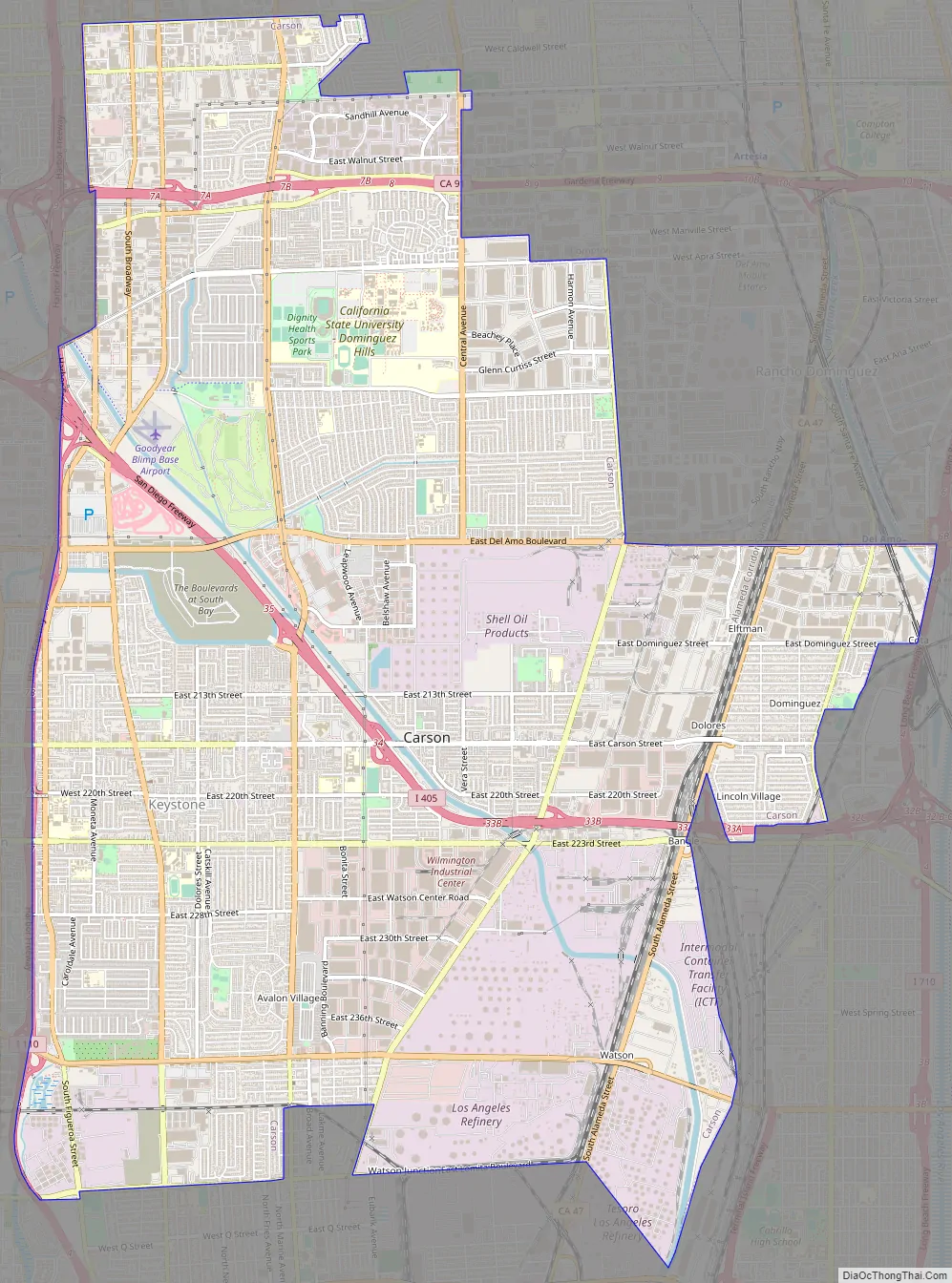
Carson Road Map
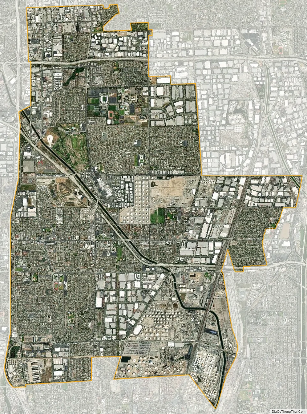
Carson city Satellite Map
Geography
According to the United States Census Bureau, Carson has an area of 19.0 square miles (49 km). 18.7 square miles (48 km) of it is land and 0.2 square miles (0.52 km) of it (1.29%) is water.
Carson is bordered by West Rancho Dominguez on the north, Torrance on the west, Rancho Dominguez and Long Beach on the southeast, Rolling Hills Estates, and West Carson on the southwest.
Bixby Marshland, a 17-acre wetland habitat, is located in Carson.
Climate
Carson experiences a warm-summer Mediterranean climate (Köppen climate classification Csb), similar to that of the Los Angeles Basin with noticeably cooler temperatures during the summer due to the nearby Pacific Ocean (which is approximately 6 to 8 miles away). Rainfall is scarce during the summer in Carson but receives enough rainfall throughout the year to avoid Köppen’s BSh (semi-arid climate).Carson, like many of the Southern California coastal areas, is subject to a late spring/early summer weather phenomenon called “June Gloom.” This involves overcast or foggy skies in the morning which yield to sun by early afternoon.
See also
Map of California State and its subdivision:- Alameda
- Alpine
- Amador
- Butte
- Calaveras
- Colusa
- Contra Costa
- Del Norte
- El Dorado
- Fresno
- Glenn
- Humboldt
- Imperial
- Inyo
- Kern
- Kings
- Lake
- Lassen
- Los Angeles
- Madera
- Marin
- Mariposa
- Mendocino
- Merced
- Modoc
- Mono
- Monterey
- Napa
- Nevada
- Orange
- Placer
- Plumas
- Riverside
- Sacramento
- San Benito
- San Bernardino
- San Diego
- San Francisco
- San Joaquin
- San Luis Obispo
- San Mateo
- Santa Barbara
- Santa Clara
- Santa Cruz
- Shasta
- Sierra
- Siskiyou
- Solano
- Sonoma
- Stanislaus
- Sutter
- Tehama
- Trinity
- Tulare
- Tuolumne
- Ventura
- Yolo
- Yuba
- Alabama
- Alaska
- Arizona
- Arkansas
- California
- Colorado
- Connecticut
- Delaware
- District of Columbia
- Florida
- Georgia
- Hawaii
- Idaho
- Illinois
- Indiana
- Iowa
- Kansas
- Kentucky
- Louisiana
- Maine
- Maryland
- Massachusetts
- Michigan
- Minnesota
- Mississippi
- Missouri
- Montana
- Nebraska
- Nevada
- New Hampshire
- New Jersey
- New Mexico
- New York
- North Carolina
- North Dakota
- Ohio
- Oklahoma
- Oregon
- Pennsylvania
- Rhode Island
- South Carolina
- South Dakota
- Tennessee
- Texas
- Utah
- Vermont
- Virginia
- Washington
- West Virginia
- Wisconsin
- Wyoming


