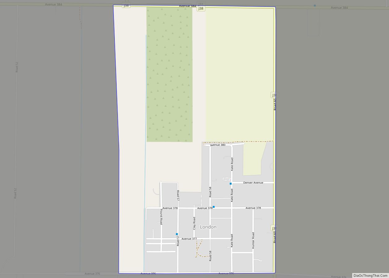
Map of Loomis town

Map of Loomis town, California

Loomis (formerly Pine, Pino, Smithville, and Placer) is an incorporated town in Placer County, California, United States. It is part of the Sacramento–Arden-Arcade–Roseville Metropolitan Statistical Area. The town’s population was reported as 6,836 in the 2020 United States Census. It shares borders with the city of Rocklin and the Census-Designated Places Penryn and Granite Bay. … Read more

Map of Lookout CDP

Map of Lookout CDP

Lookout (formerly, Whitley’s Ford) is a census-designated place in Modoc County, California. It is located 11 miles (18 km) west of Adin, at an elevation of 4144 feet (1263 m). Its population is 68 as of the 2020 census, down from 84 from the 2010 census. Lookout’s ZIP Code is 96054. The Whitley’s Ford post office … Read more

Map of Long Barn CDP

Map of Long Barn CDP

Long Barn is a census-designated place (CDP) in Tuolumne County, California. Long Barn sits at an elevation of 5,043 feet (1,537 m). The 2010 United States census reported Long Barn’s population was 155. Long Barn is located roughly 4 miles northeast of Mi-Wuk Village off State Route 108. Long Barn CDP overview: Name: Long Barn CDP … Read more

Map of Los Altos Hills town

Map of Los Altos Hills town

Los Altos Hills (US: /lɔːs ˈæltoʊs/; Los Altos, Spanish for “The Heights”) is an incorporated town in Santa Clara County, California, United States. The population was 8,489 at the 2020 census. The town is known for its affluence and expensive residential real estate. Los Altos Hills town overview: Name: Los Altos Hills town LSAD Code: … Read more

Map of Los Alamos CDP

Map of Los Alamos CDP, California

Los Alamos (Spanish: Los Álamos, meaning The Cottonwoods) is an unincorporated community in Santa Barbara County, California, United States. Located in the Los Alamos Valley, the town of Los Alamos is considered to be a part of the Santa Ynez Valley community. Los Alamos is also connected to other cities Vandenberg SFB, Lompoc, Buellton, Solvang, … Read more

Map of Los Alamitos city

Map of Los Alamitos city

Los Alamitos (Spanish for ‘The Little Cottonwoods’) is a city in Orange County, California. The city was incorporated in March 1960. The population was 11,780 at the 2020 census, up from 11,449 at the 2010 census. The adjacent unincorporated community of Rossmoor uses the same 90720 ZIP code in its mailing address, but is not … Read more

Map of Los Berros CDP

Map of Los Berros CDP

Los Berros (Spanish for The Watercresses) is a census-designated place in San Luis Obispo County, California. Los Berros sits at an elevation of 194 feet (59 m). The 2010 United States census reported Los Berros’s population was 641. Los Berros CDP overview: Name: Los Berros CDP LSAD Code: 57 LSAD Description: CDP (suffix) State: California County: … Read more

Map of Los Banos city

Map of Los Banos city

Los Banos (/loʊs ˈbænoʊs/ lohss BAN-ohss), alternatively Los Baños (/loʊs ˈbænjoʊs/ lohss BAN-yohss), is a city in Merced County, California, United States. It is located in the San Joaquin Valley in central California, near the junction of State Route 152 and Interstate 5. Its population was 45,532 at the 2020 census, up from 35,972 at … Read more

Map of Los Altos city

Map of Los Altos city, California

Los Altos (/lɔːs ˈæltoʊs/ (listen); Spanish for “The Heights”) is a city in Santa Clara County, California, in the San Francisco Bay Area. The population was 31,625 according to the 2020 census. Most of the city’s growth occurred between 1950 and 1980. Originally an agricultural town with many summer cottages and apricot orchards, Los Altos … Read more

Map of Los Olivos CDP

Map of Los Olivos CDP

Los Olivos (/loʊs oʊˈliːvoʊs/; Spanish for “the olive trees”) is an unincorporated community in the Santa Ynez Valley of Santa Barbara County, California, United States. Tourism is popular in this rural area which is an agricultural region with an emphasis on wine grapes. For statistical purposes, the United States Census Bureau has defined Los Olivos … Read more

Map of Los Molinos CDP

Map of Los Molinos CDP

Los Molinos (Spanish for “The Mills”) is a census-designated place (CDP) in Tehama County, California, United States. The population was 2,037 at the 2010 census, up from 1,952 at the 2000 census. Los Molinos CDP overview: Name: Los Molinos CDP LSAD Code: 57 LSAD Description: CDP (suffix) State: California County: Tehama County Elevation: 223 ft (68 m) … Read more

Map of Los Gatos town

Map of Los Gatos town

Los Gatos (Spanish for ‘The Cats’); US: /loʊs ˈɡɑːtoʊs, lɔːs -/, Spanish: [los ˈɣatos]) is an incorporated town in Santa Clara County, California, United States. The population is 33,529 according to the 2020 census. It is located in the San Francisco Bay Area just southwest of San Jose in the foothills of the Santa Cruz Mountains. … Read more