Los Olivos (/loʊs oʊˈliːvoʊs/; Spanish for “the olive trees”) is an unincorporated community in the Santa Ynez Valley of Santa Barbara County, California, United States. Tourism is popular in this rural area which is an agricultural region with an emphasis on wine grapes. For statistical purposes, the United States Census Bureau has defined Los Olivos as a census-designated place (CDP). The population was 1,132 at the 2010 census. The ZIP Code is 93441, and the community is within the area code 805.
| Name: | Los Olivos CDP |
|---|---|
| LSAD Code: | 57 |
| LSAD Description: | CDP (suffix) |
| State: | California |
| County: | Santa Barbara County |
| Elevation: | 807 ft (246 m) |
| Total Area: | 2.459 sq mi (6.369 km²) |
| Land Area: | 2.459 sq mi (6.368 km²) |
| Water Area: | 0.000 sq mi (0.001 km²) 0.02% |
| Total Population: | 1,138 |
| Population Density: | 460/sq mi (180/km²) |
| ZIP code: | 93441 |
| Area code: | 805 |
| FIPS code: | 0644168 |
| GNISfeature ID: | 2583064 |
Online Interactive Map
Click on ![]() to view map in "full screen" mode.
to view map in "full screen" mode.
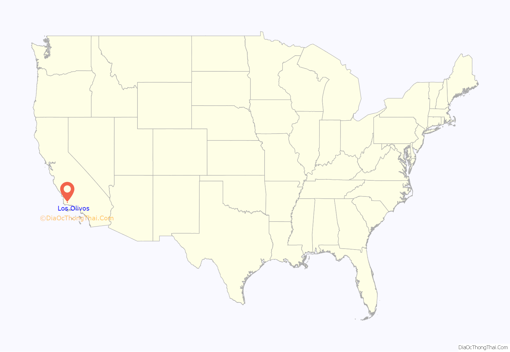
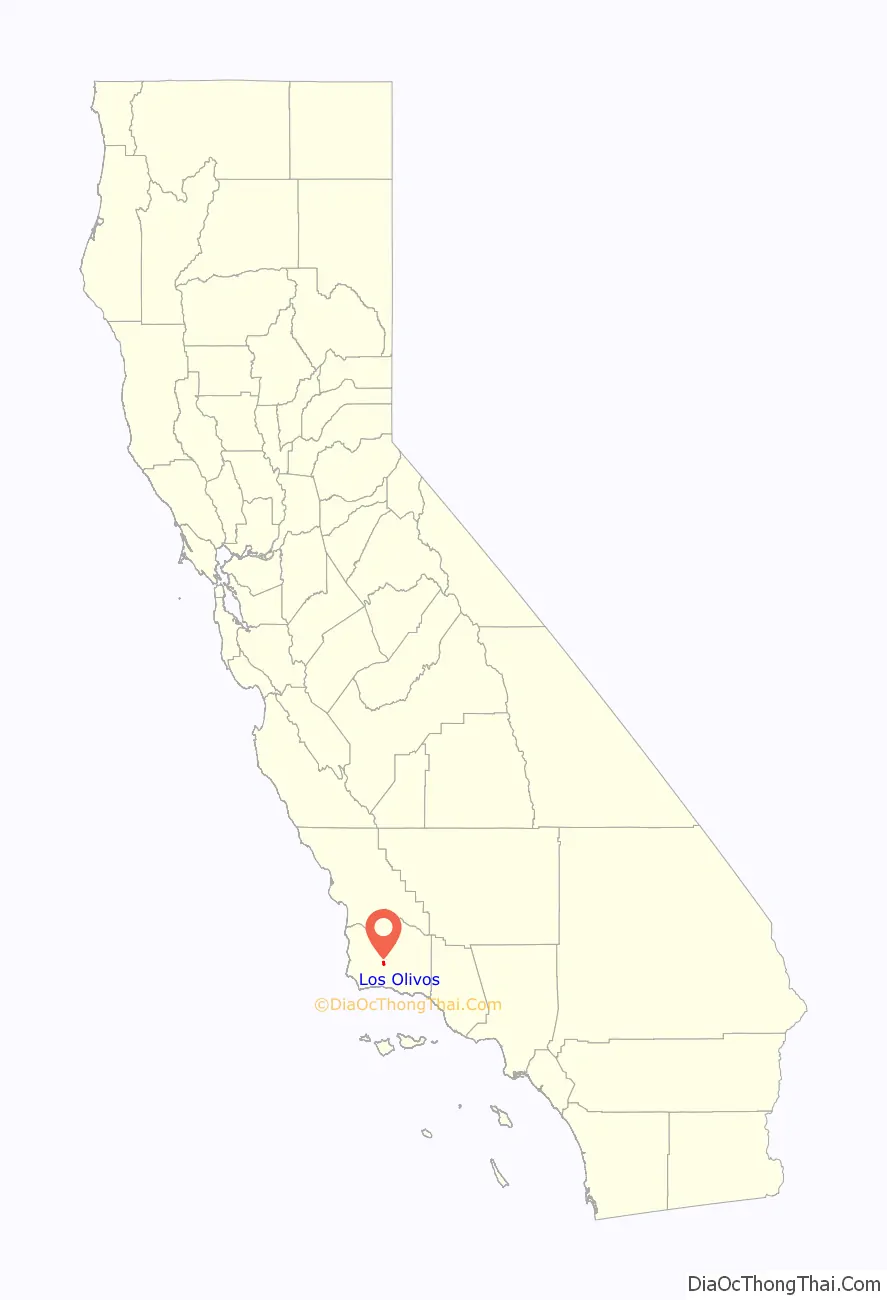
Los Olivos location map. Where is Los Olivos CDP?
History
Sometime around 1880, on a bluff overlooking Alamo Pintado Creek, just north of the town of Ballard, a two-story house was built, with a wide, covered front porch and neatly symmetrical arched windows in the center gable, situated on prime farmland. It became the property of twenty-two-year-old Alden March Boyd, of Albany, New York, when he paid $8,000 for “157 acres, more or less, together with the dwelling house,” in 1885. He planted five thousand olive trees, and called it Rancho De Los Olivos. The 1880s were a boom time for California. On November 16, 1887, the Pacific Coast Railway line extension from Los Alamos was completed. The developers of the narrow-gauge railway first named their town El Olivar, then El Olivos, and finally Los Olivos, after Boyd’s nearby ranch.
Los Olivos was connected by the narrow gauge railroad to points north as far as San Luis Obispo until the train made its last run in 1934. The southern terminus of the railroad was in front of Mattei’s Tavern, where a stagecoach line continued over San Marcos Pass into Santa Barbara.
Los Olivos Road Map
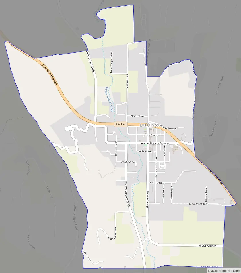
Los Olivos city Satellite Map

Geography
Los Olivos is one of five communities (with Ballard, Buellton, Solvang, and Santa Ynez) that make up the Santa Ynez Valley. The census definition of the area was created by the Census Bureau for statistical purposes and may not precisely correspond to local understanding of the area with the same name. The town is near SR 154, a scenic road from Santa Barbara over San Marcos Pass, through the coastal Santa Ynez Mountains.
Climate
Under the Köppen Climate Classification, “dry-summer subtropical” climates are often referred to as “Mediterranean”. Los Olivos has a mean yearly temperature of 61.6 °F (16.4 °C). The average high temperature in the summer months is 92 °F (33.3 °C), while the average low temperature in the winter months is 39.5 °F (4.2 °C). Summers are dry with little to no rain falling from June through September. Winters are mild and wet with the majority of the yearly precipitation (nearly 80%) falling from December through March.
See also
Map of California State and its subdivision:- Alameda
- Alpine
- Amador
- Butte
- Calaveras
- Colusa
- Contra Costa
- Del Norte
- El Dorado
- Fresno
- Glenn
- Humboldt
- Imperial
- Inyo
- Kern
- Kings
- Lake
- Lassen
- Los Angeles
- Madera
- Marin
- Mariposa
- Mendocino
- Merced
- Modoc
- Mono
- Monterey
- Napa
- Nevada
- Orange
- Placer
- Plumas
- Riverside
- Sacramento
- San Benito
- San Bernardino
- San Diego
- San Francisco
- San Joaquin
- San Luis Obispo
- San Mateo
- Santa Barbara
- Santa Clara
- Santa Cruz
- Shasta
- Sierra
- Siskiyou
- Solano
- Sonoma
- Stanislaus
- Sutter
- Tehama
- Trinity
- Tulare
- Tuolumne
- Ventura
- Yolo
- Yuba
- Alabama
- Alaska
- Arizona
- Arkansas
- California
- Colorado
- Connecticut
- Delaware
- District of Columbia
- Florida
- Georgia
- Hawaii
- Idaho
- Illinois
- Indiana
- Iowa
- Kansas
- Kentucky
- Louisiana
- Maine
- Maryland
- Massachusetts
- Michigan
- Minnesota
- Mississippi
- Missouri
- Montana
- Nebraska
- Nevada
- New Hampshire
- New Jersey
- New Mexico
- New York
- North Carolina
- North Dakota
- Ohio
- Oklahoma
- Oregon
- Pennsylvania
- Rhode Island
- South Carolina
- South Dakota
- Tennessee
- Texas
- Utah
- Vermont
- Virginia
- Washington
- West Virginia
- Wisconsin
- Wyoming


