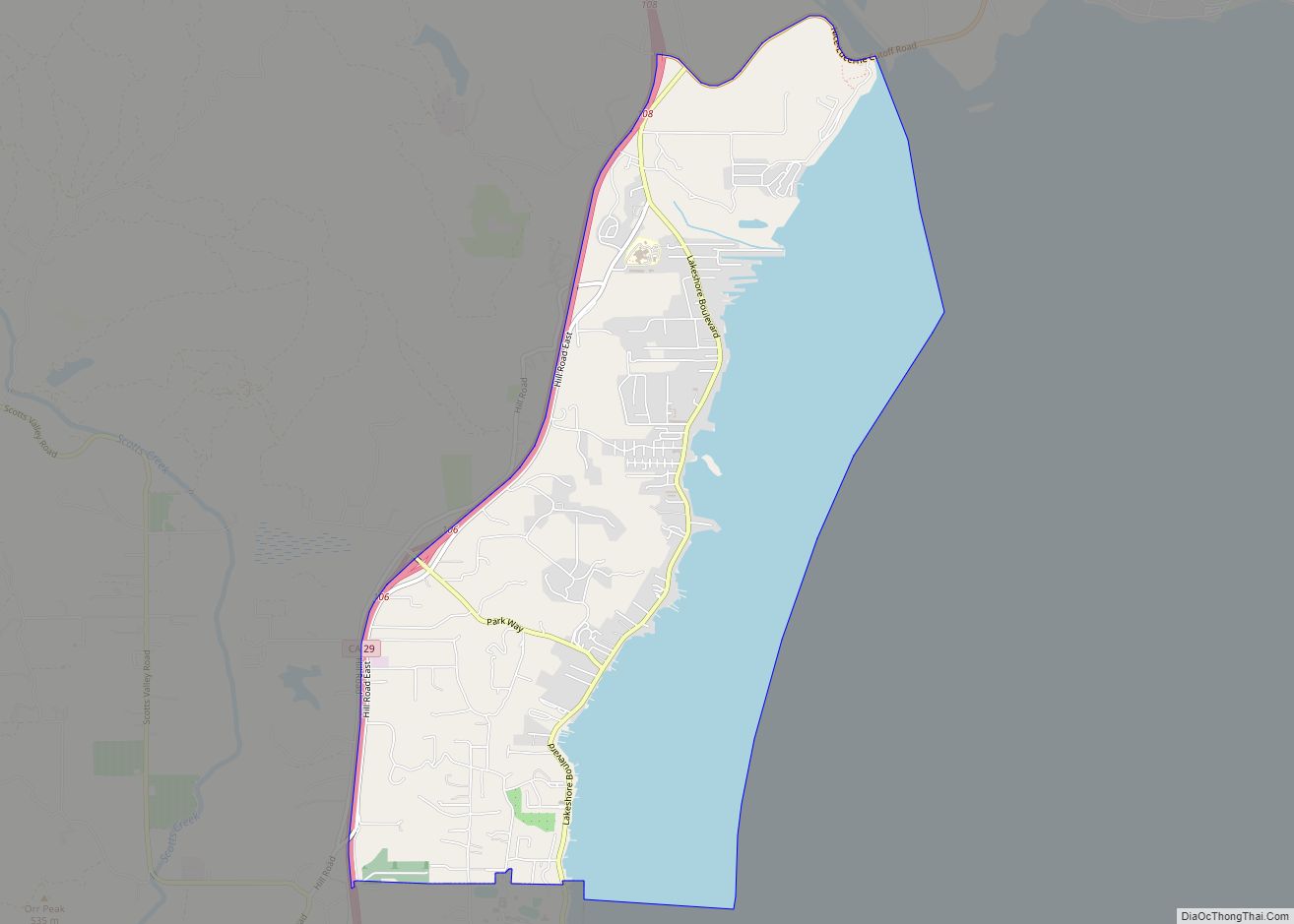
Map of North Shore CDP

Map of North Shore CDP, California

North Shore is a census-designated place in southeastern Riverside County, so named because of its location along the northeast shore of the Salton Sea. It was once a popular vacation destination spot before ever-increasing salinity and pollution of the Salton Sea shut the tourist trade down. The population was 3,585 at the 2020 census, up … Read more

Map of North San Juan CDP

Map of North San Juan CDP

North San Juan is a census-designated place in Nevada County, California, United States, along State Route 49 on the San Juan Ridge in Gold Country. The zip code is 95960. The population was 269 at the 2010 census. North San Juan CDP overview: Name: North San Juan CDP LSAD Code: 57 LSAD Description: CDP (suffix) … Read more

Map of North Richmond CDP

Map of North Richmond CDP

North Richmond is an unincorporated area in Contra Costa County, California, a census-designated place (CDP) with a population of 3,717 adjacent to and nearly surrounded by the city of Richmond. North Richmond CDP overview: Name: North Richmond CDP LSAD Code: 57 LSAD Description: CDP (suffix) State: California County: Contra Costa County Elevation: 16 ft (5 m) Total … Read more

Map of North Tustin CDP

Map of North Tustin CDP

North Tustin is an unincorporated community in Orange County, California. The population was 24,917 at the 2010 Census, up from 24,044 in 2000. For statistical purposes, the United States Census Bureau has defined North Tustin as a census-designated place (CDP). It is both the largest CDP and largest unincorporated community in Orange County. The CDP’s … Read more

Map of Novato city

Map of Novato city

Novato (Spanish for “Novatus”) is a city in Marin County, California, in the North Bay region of the Bay Area. At the 2020 census, Novato had a population of 53,225. Novato city overview: Name: Novato city LSAD Code: 25 LSAD Description: city (suffix) State: California County: Marin County Incorporated: January 20, 1960 Elevation: 30 ft (9 m) … Read more

Map of Norwalk city

Map of Norwalk city, California

Norwalk is a city in Los Angeles County, California, United States. The population was 105,549 at the 2010 census and an estimated 103,949 in 2019. It is the 58th most densely-populated city in California. Founded in the late 19th century, Norwalk was incorporated as a city in 1957. It is located 17 miles (27 km) southeast … Read more

Map of Oak Glen CDP

Map of Oak Glen CDP

Oak Glen is a census-designated place situated between the San Bernardino Mountains and the Little San Bernardino Mountains in San Bernardino County, California, United States. Oak Glen is located 15 miles east of San Bernardino, at an elevation of 4,734 feet (1,443 m). The population was 638 at the 2010 census. The original settlers, the Cahuilla … Read more

Map of Nuevo CDP

Map of Nuevo CDP

Nuevo (Spanish for “New”) is a rural community located east of Lake Perris and the city of Perris in Riverside County, California. The population of the census-designated place (CDP) is 7,033 according to the 2020 census, up from 6,447 at the 2010 census. Nuevo CDP overview: Name: Nuevo CDP LSAD Code: 57 LSAD Description: CDP … Read more

Map of Nubieber CDP

Map of Nubieber CDP

Nubieber (formerly, Big Valley City and New Town) is a census-designated place in Lassen County, California. It was located at the common terminus of the Western Pacific Railroad and the Great Northern Railway Bieber Line 3 miles (4.8 km) southwest of Bieber, at an elevation of 4121 feet (1256 m). Its population is 19 as of … Read more

Map of Oak Shores CDP

Map of Oak Shores CDP

Oak Shores CDP overview: Name: Oak Shores CDP LSAD Code: 57 LSAD Description: CDP (suffix) State: California County: San Luis Obispo County FIPS code: 0653160 Online Interactive Map Oak Shores online map. Source: Basemap layers from Google Map, Open Street Map (OSM), Arcgisonline, Wmflabs. Boundary Data from Database of Global Administrative Areas. Oak Shores location … Read more

Map of Oak Park CDP

Map of Oak Park CDP, California

Oak Park is an unincorporated community in Ventura County, California, United States. When developed in the Simi Hills in the late 1960s, a single road provided the only access to the community from Agoura Hills, California, in neighboring Los Angeles County. As of the 2010 census, Oak Park had a population of 14,266, down from … Read more

Map of Oak Hills CDP

Map of Oak Hills CDP, California

Oak Hills is a census-designated place in the Victor Valley of the Mojave Desert, within San Bernardino County, California. Oak Hills CDP overview: Name: Oak Hills CDP LSAD Code: 57 LSAD Description: CDP (suffix) State: California County: San Bernardino County Elevation: 3,799 ft (1,158 m) Total Area: 24.390 sq mi (63.171 km²) Land Area: 24.390 sq mi (63.171 km²) Water Area: 0 sq mi (0 km²) … Read more