Oak Park is an unincorporated community in Ventura County, California, United States. When developed in the Simi Hills in the late 1960s, a single road provided the only access to the community from Agoura Hills, California, in neighboring Los Angeles County. As of the 2010 census, Oak Park had a population of 14,266, down from 14,625 at the 2000 census. For statistical purposes, the United States Census Bureau has defined Oak Park as a census-designated place (CDP). The census definition of the area may not precisely correspond to local understanding of the area with the same name.
Oak Park is the biggest unincorporated community in Ventura County. Residents of the community have through votes declined to set up an independent city, and also declined to be annexed into neighboring Thousand Oaks.
| Name: | Oak Park CDP |
|---|---|
| LSAD Code: | 57 |
| LSAD Description: | CDP (suffix) |
| State: | California |
| County: | Ventura County |
| Elevation: | 1,106 ft (337 m) |
| Total Area: | 5.290 sq mi (13.702 km²) |
| Land Area: | 5.290 sq mi (13.702 km²) |
| Water Area: | 0 sq mi (0 km²) 0% |
| Total Population: | 13,811 |
| Population Density: | 2,600/sq mi (1,000/km²) |
| ZIP code: | 91377 |
| Area code: | 747 and 818 |
| FIPS code: | 0653116 |
| GNISfeature ID: | 1817380 |
Online Interactive Map
Click on ![]() to view map in "full screen" mode.
to view map in "full screen" mode.
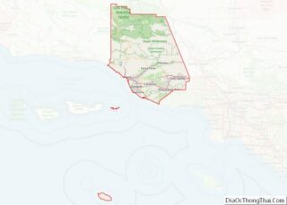
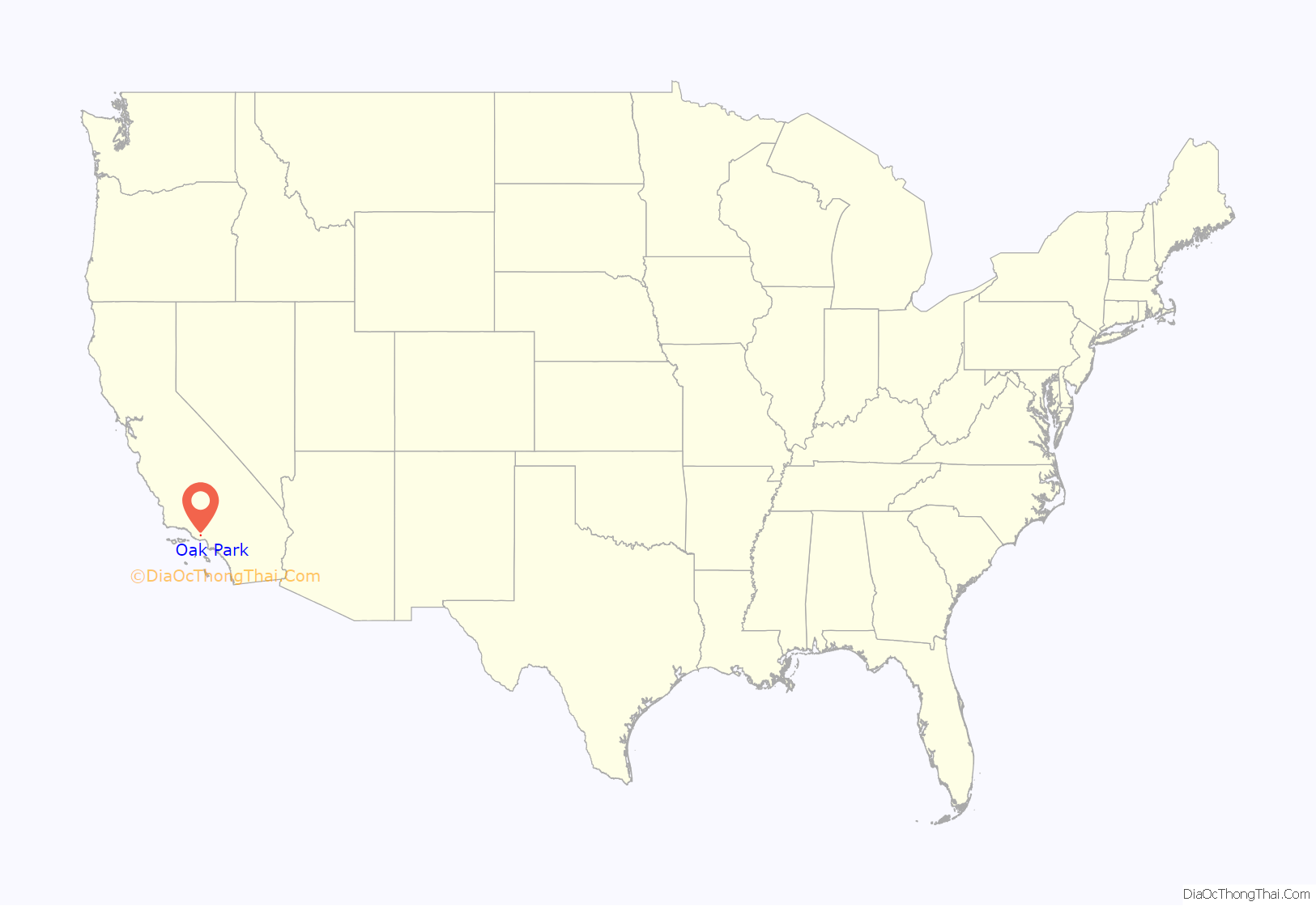
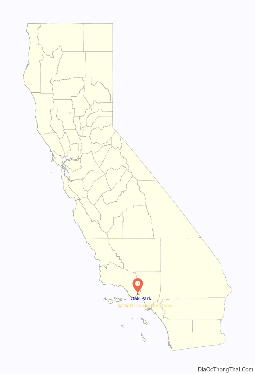
Oak Park location map. Where is Oak Park CDP?
History
Oak Park has had human occupation from about 5500 B.C. to the present day. It lies within a zone including the early Millingstone Horizon and inland Chumash Indians. Indians camped throughout the area as they collected acorns, yucca, and other food. The sites in the area include major villages, smaller camps and several rock shelters. Chumash people lived here for thousands of years prior to European contact. They lived off of trading, gathering and hunting. The Chumash originally settled in Oak Park due to an abundance of natural resources, including fresh water, acorns and rabbit-hunting. It is one of the oldest occupied places in California.
The location of Oak Park was originally part of Rancho Simi, a Spanish land concession in Alta California given in 1795 to Francisco Javier Pico, a soldier of the Santa Barbara company, and his two brothers, Patricio Pico and Miguel Pico by the Spanish government. Lindero Canyon Road follows the western border-line (lindero in Spanish) of the land grant.
Throughout the 20th century, studios used the area to film movies and in particular westerns. Movies filmed locally include The Red Pony and A Walk in the Sun.
Oak Park was formed from ranchland owned by Jim and Marian Jordan, stars of the radio show Fibber McGee and Molly. The land was purchased by Metropolitan Development Corporation in the 1960s. Homes were developed starting in the late 1960s. Kanan-Dume Road (named after a local family) was the only access road to the community, from Agoura Hills, California, in neighboring Los Angeles County. As such, the community was served by police and firefighters based in the nearest Ventura County city, Thousand Oaks, 10 miles (16 km) away, with L.A. County services responding when able.
In 1967 Ventura County officials who were concerned about the isolation of the community proposed a land swap with L.A. County, but they were rebuffed. The isolation—coupled with the distance to junior and senior high schools—also drove down the property values, and homeowners found it difficult to sell their properties.
The Ventura County Board of Supervisors created a Municipal Advisory Council (MAC) in 1975 to represent the community to County agencies. The MAC persuaded the Ventura County Board of Supervisors to trim Metropolitan Development Corp.’s initial development plan from a population of 26,000. Today there are about 15,000 residents. All available land within Oak Park has now been developed, with the remaining vacant land owned by the Rancho Simi Recreation and Park District.
The community was initially served by the Simi Valley Unified School District, with the nearest post-elementary schools being Sinaloa Junior High (about 20 miles (32 km) away) and Royal High (about 22 (35 km) miles away). Since the Simi Valley Unified School District had no plans to build post-elementary schools in Oak Park, the residents seceded and formed Oak Park Unified School District in June 1977. Medea Creek Middle School started at the current location of the school district in 1980 using portable classrooms. The campus was affectionately called “Bungalow Hill” by students. The middle school was grades 6-8, with sixth-graders spending morning hours at Brookside Elementary and afternoons at the middle school. The following year when Oak Park High School opened for classes, Medea Creek Middle School shared the campus. Oak Park High School’s class of 1983 was the first graduating class. They were the maiden class; they were upperclassmen each year ninth through 12th grade.
In 1999 the United States Postal Service assigned Oak Park its own ZIP code, 91377. Oak Park previously shared the ZIP code 91301 with its neighboring town of Agoura Hills.
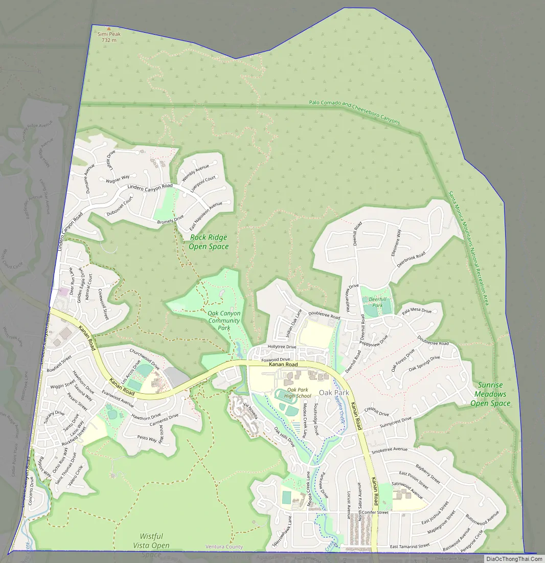
Oak Park Road Map
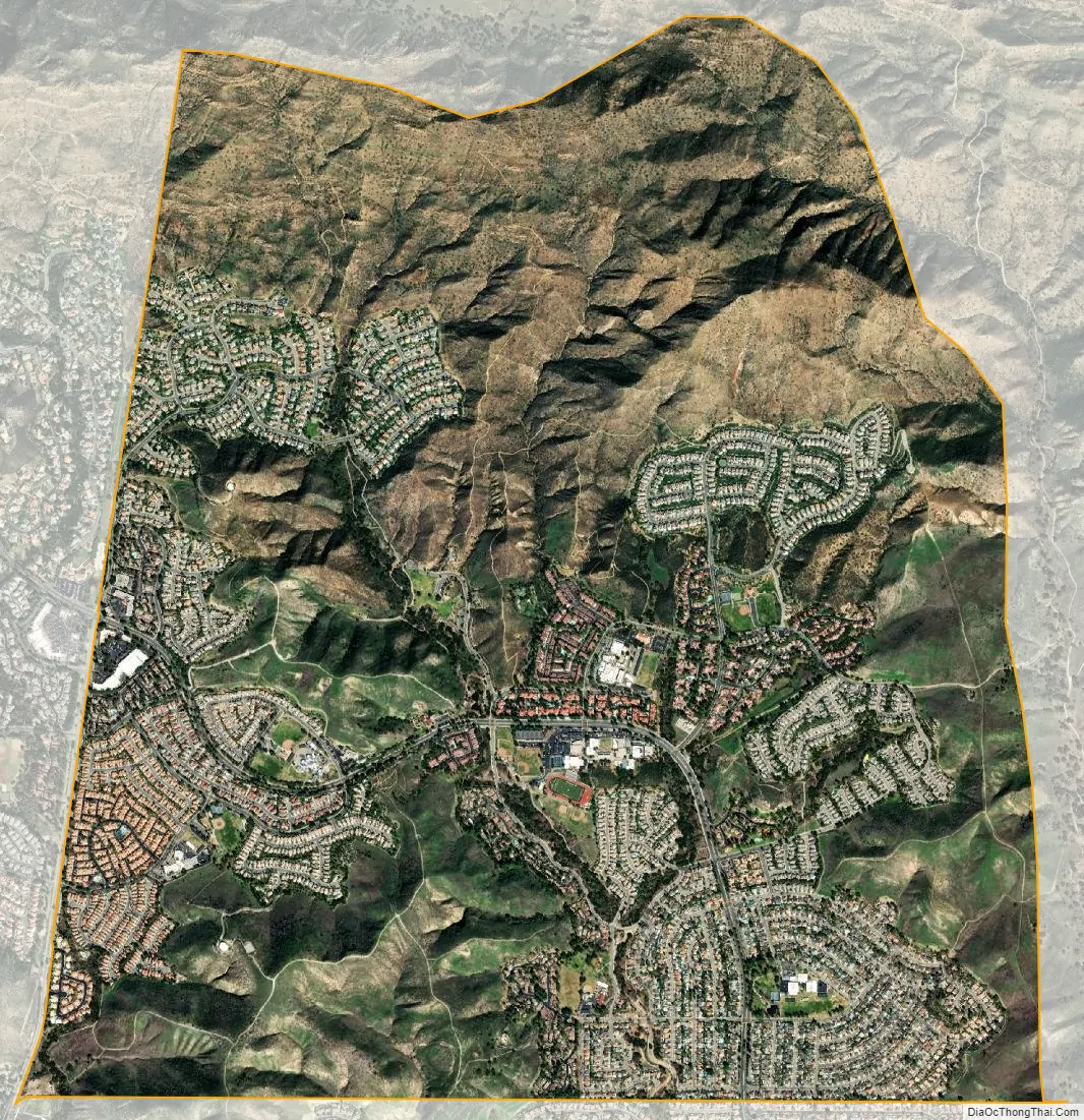
Oak Park city Satellite Map
Geography
Oak Park is situated in southeastern Ventura County. It is bordered on the west by North Ranch (Thousand Oaks) and on the south by the LA County cities of Agoura Hills and Westlake Village. It borders the Santa Monica Mountains National Recreation Area to the east and north.
Oak Park is located at 34°10’18” North, 118°45’28” West (34.171756, -118.757899). It is bordered by the Santa Monica Mountains National Recreational Area on the north and east and Rancho Simi Open Space on the south. It sits within valleys in the Simi Hills capped by Simi Peak which borders the community to the north. The elevation in Oak Park varies from 960 to 2,157 feet above sea level. (Does not include Simi Peak at 2,450 ft)
The CDP has a total area of 5.29 sq mi (13.7 km). All of the area is land and none of it is covered by water. However, there are many small creeks in the area. The largest of these creeks are Medea Creek and Lindero Creek, which are tributaries of Malibu Creek, the only waterway that pierces the Santa Monica Mountains. The Malibu Creek watershed covers 105 square miles and contains 225 stream segments.
See also
Map of California State and its subdivision:- Alameda
- Alpine
- Amador
- Butte
- Calaveras
- Colusa
- Contra Costa
- Del Norte
- El Dorado
- Fresno
- Glenn
- Humboldt
- Imperial
- Inyo
- Kern
- Kings
- Lake
- Lassen
- Los Angeles
- Madera
- Marin
- Mariposa
- Mendocino
- Merced
- Modoc
- Mono
- Monterey
- Napa
- Nevada
- Orange
- Placer
- Plumas
- Riverside
- Sacramento
- San Benito
- San Bernardino
- San Diego
- San Francisco
- San Joaquin
- San Luis Obispo
- San Mateo
- Santa Barbara
- Santa Clara
- Santa Cruz
- Shasta
- Sierra
- Siskiyou
- Solano
- Sonoma
- Stanislaus
- Sutter
- Tehama
- Trinity
- Tulare
- Tuolumne
- Ventura
- Yolo
- Yuba
- Alabama
- Alaska
- Arizona
- Arkansas
- California
- Colorado
- Connecticut
- Delaware
- District of Columbia
- Florida
- Georgia
- Hawaii
- Idaho
- Illinois
- Indiana
- Iowa
- Kansas
- Kentucky
- Louisiana
- Maine
- Maryland
- Massachusetts
- Michigan
- Minnesota
- Mississippi
- Missouri
- Montana
- Nebraska
- Nevada
- New Hampshire
- New Jersey
- New Mexico
- New York
- North Carolina
- North Dakota
- Ohio
- Oklahoma
- Oregon
- Pennsylvania
- Rhode Island
- South Carolina
- South Dakota
- Tennessee
- Texas
- Utah
- Vermont
- Virginia
- Washington
- West Virginia
- Wisconsin
- Wyoming