Novato (Spanish for “Novatus”) is a city in Marin County, California, in the North Bay region of the Bay Area. At the 2020 census, Novato had a population of 53,225.
| Name: | Novato city |
|---|---|
| LSAD Code: | 25 |
| LSAD Description: | city (suffix) |
| State: | California |
| County: | Marin County |
| Incorporated: | January 20, 1960 |
| Elevation: | 30 ft (9 m) |
| Total Area: | 27.99 sq mi (72.48 km²) |
| Land Area: | 27.48 sq mi (71.16 km²) |
| Water Area: | 0.51 sq mi (1.32 km²) 1.85% |
| Total Population: | 53,225 |
| Population Density: | 1,900/sq mi (730/km²) |
| ZIP code: | 94945, 94947–94949, 94998 |
| FIPS code: | 0652582 |
| Website: | novato.org |
Online Interactive Map
Click on ![]() to view map in "full screen" mode.
to view map in "full screen" mode.
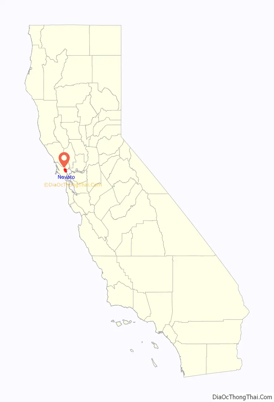
Novato location map. Where is Novato city?

History
What is now Novato was originally the site of several Coast Miwok villages: Chokecherry, near downtown Novato; Puyuku, near Ignacio; and Olómpali, at the present-day Olompali State Historic Park.
Mexican era
In 1839, the Mexican government granted the 8,876-acre (35.92 km) Rancho Novato to Fernando Feliz. The rancho was named after a local Miwok leader who had probably been given the name of Saint Novatus at his baptism. Subsequently, four additional land grants were made in the area: Rancho Corte Madera de Novato, to John Martin in 1839; Rancho San Jose, to Ignacio Pacheco in 1840; Rancho Olómpali, awarded in 1843 to Camilo Ynitia, son of a Coast Miwok chief; and Rancho Nicasio, by far the largest at 56,621 acres (229.1 km), awarded to Pablo de la Guerra and John B.R. Cooper in 1844.
Post-Conquest era
Following the American Conquest of California and the Treaty of Guadalupe Hidalgo, Novato, along with the rest of California, became part of the United States on February 2, 1848. Early pioneers included Joseph Sweetser and Francis De Long who bought 15,000 acres (61 km) in the mid-1850s and planted orchards and vineyards.
The first post office at Novato opened in 1856; it closed in 1860, and a new post office opened in 1891.
The first school was built in 1859, at the corner of Grant Avenue and what is today Redwood Boulevard.
The original town was located around Novato Creek at what is now South Novato Boulevard. A railroad was built in 1879, connecting Novato to Sonoma County and San Rafael. The area around the train depot became known as New Town, and forms the edge of what today is Old Town Novato. The Novato Flatiron Building was built in 1908.
Modern era
The Great Depression of the 1930s had a marked effect on the area as many farmers lost their land. After World War II, Novato grew quickly with the construction of tract homes and a freeway. As the area was unincorporated much of the growth was unplanned and uncontrolled.
Novato was finally incorporated as a city in 1960. One of the most important venues of the time (1960 to 1965) was “Western Weekend”. Beard-growing contests, sponsored by Bob’s Barber Shop, and many other odd activities helped to bring this community together.
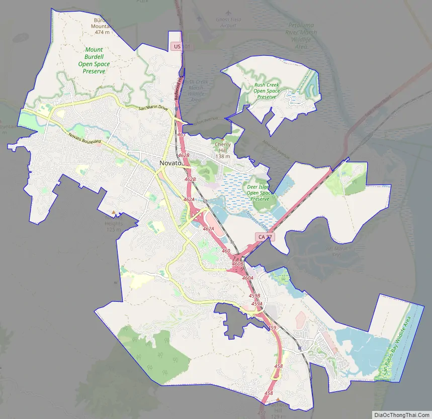
Novato Road Map
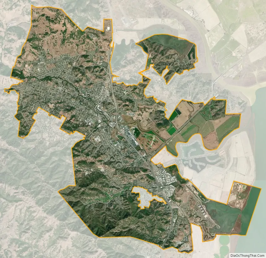
Novato city Satellite Map
Geography
According to the United States Census Bureau, Novato has a total area of 28.0 square miles (73 km) and is the largest city in area in Marin County. 27.4 square miles (71 km) of it is land and 0.5 square miles (1.3 km) of it (1.85%) is water.
Major geographical features nearby include Mount Burdell and Mount Burdell Open Space Preserve to the north and Big Rock Ridge to the southwest. Stafford Lake to the west is a secondary water supply for Novato, with the Russian River in Sonoma County to the north supplying most of the city’s water. Novato includes ten Marin County Open Space District preserves: Mount Burdell, Rush Creek, Little Mountain, Verissimo Hills, Indian Tree, Deer Island, Indian Valley, Ignacio Valley, Loma Verde, and Pacheco Valle. Although Novato is located on the water, access to the water is blocked by expansive farmland and wetlands.
Climate
Official weather observations were taken at Hamilton Air Force Base through 1964. Average January temperatures were a maximum of 53.6 °F (12.0 °C) and a minimum of 38.7 °F (3.7 °C). Average July temperatures were a maximum of 79.9 °F (26.6 °C) and a minimum of 52.0 °F (11.1 °C). There were an average of 12.4 days with highs of 90 °F (32 °C) or higher and an average of 12.5 days with lows of 32 °F (0 °C) or lower. The record high temperature was 111 °F (44 °C) on September 5, 2022. The record low temperature was 16 °F (−9 °C) in December 2013. Average annual precipitation was 25.49 inches (64.7 cm). The wettest year was 1940 with 46.63 inches (118.4 cm) and the driest year was 2015 with 6.35 inches (16.1 cm). The most rainfall in one month was 18.87 inches (47.9 cm) in December 1955. The most rainfall in 24 hours was 10.55 inches (26.8 cm) between December 10, 2014 – December 11, 2014.
Today, the nearest National Weather Service cooperative weather station is in San Rafael, where records date back to 1894. Compared to records from Hamilton Air Force Base, San Rafael is generally several degrees warmer than Novato and has an average of about 10 inches (25 cm) more rainfall. The record high temperature in San Rafael was 110 °F (43 °C) on September 7, 1904, and June 14, 1961. The record low temperature was 20 °F (−7 °C) on December 26, 1967.
According to the Köppen Climate Classification system, Novato has a warm-summer mediterranean climate, abbreviated “Csb” on climate maps. This means that Summers are Hot, but Winters are rainy and can be mild to chilly. Precipitation occurs in the colder seasons, but there are a number of clear sunny days even during the wetter seasons, except during spells of seasonal tule fog, when it can be quite chilly for many days.
Novato has a history of flooding due to it’s low-lying position, as well as the fact that much of the city used to be marshland. Due to the system of levees in Eastern Novato, flooding is quite common in that area, both from excessive rain and levee breaches.
See also
Map of California State and its subdivision:- Alameda
- Alpine
- Amador
- Butte
- Calaveras
- Colusa
- Contra Costa
- Del Norte
- El Dorado
- Fresno
- Glenn
- Humboldt
- Imperial
- Inyo
- Kern
- Kings
- Lake
- Lassen
- Los Angeles
- Madera
- Marin
- Mariposa
- Mendocino
- Merced
- Modoc
- Mono
- Monterey
- Napa
- Nevada
- Orange
- Placer
- Plumas
- Riverside
- Sacramento
- San Benito
- San Bernardino
- San Diego
- San Francisco
- San Joaquin
- San Luis Obispo
- San Mateo
- Santa Barbara
- Santa Clara
- Santa Cruz
- Shasta
- Sierra
- Siskiyou
- Solano
- Sonoma
- Stanislaus
- Sutter
- Tehama
- Trinity
- Tulare
- Tuolumne
- Ventura
- Yolo
- Yuba
- Alabama
- Alaska
- Arizona
- Arkansas
- California
- Colorado
- Connecticut
- Delaware
- District of Columbia
- Florida
- Georgia
- Hawaii
- Idaho
- Illinois
- Indiana
- Iowa
- Kansas
- Kentucky
- Louisiana
- Maine
- Maryland
- Massachusetts
- Michigan
- Minnesota
- Mississippi
- Missouri
- Montana
- Nebraska
- Nevada
- New Hampshire
- New Jersey
- New Mexico
- New York
- North Carolina
- North Dakota
- Ohio
- Oklahoma
- Oregon
- Pennsylvania
- Rhode Island
- South Carolina
- South Dakota
- Tennessee
- Texas
- Utah
- Vermont
- Virginia
- Washington
- West Virginia
- Wisconsin
- Wyoming


