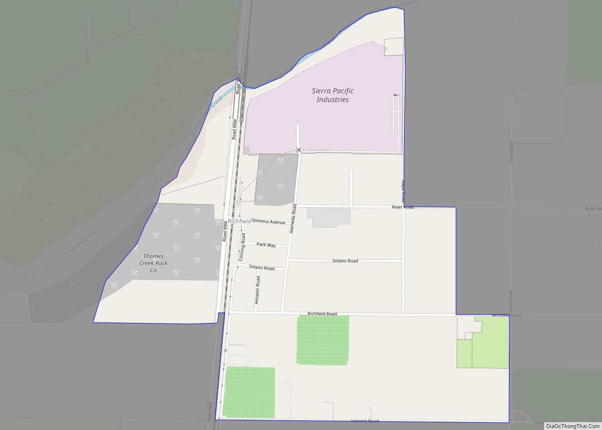
Richfield is a census-designated place (CDP) in Tehama County, California. Richfield sits at an elevation of 269 feet (82 m). The 2010 United States census reported Richfield’s population was 306. Richfield CDP overview: Name: Richfield CDP LSAD Code: 57 LSAD Description: CDP (suffix) State: California County: Tehama County Elevation: 269 ft (82 m) Total Area: 0.560 sq mi (1.450 km²) Land ... Read more
California Cities and Places
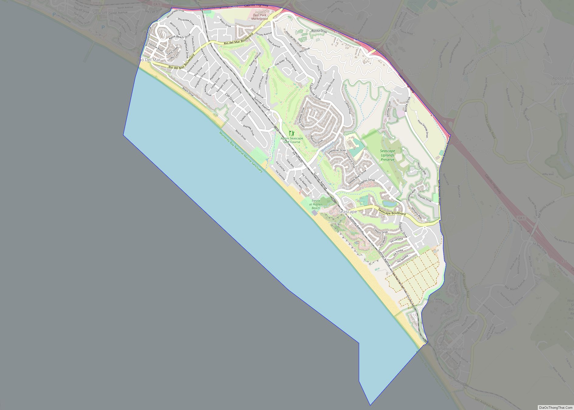
Rio del Mar (Spanish: Río del Mar, meaning “River of the Sea”) is an unincorporated village in Santa Cruz County, California. Rio del Mar is one of several small villages that form the unincorporated community of Aptos, California. Its population was 9,128 as of the 2020 United States census. Rio del Mar CDP overview: Name: ... Read more
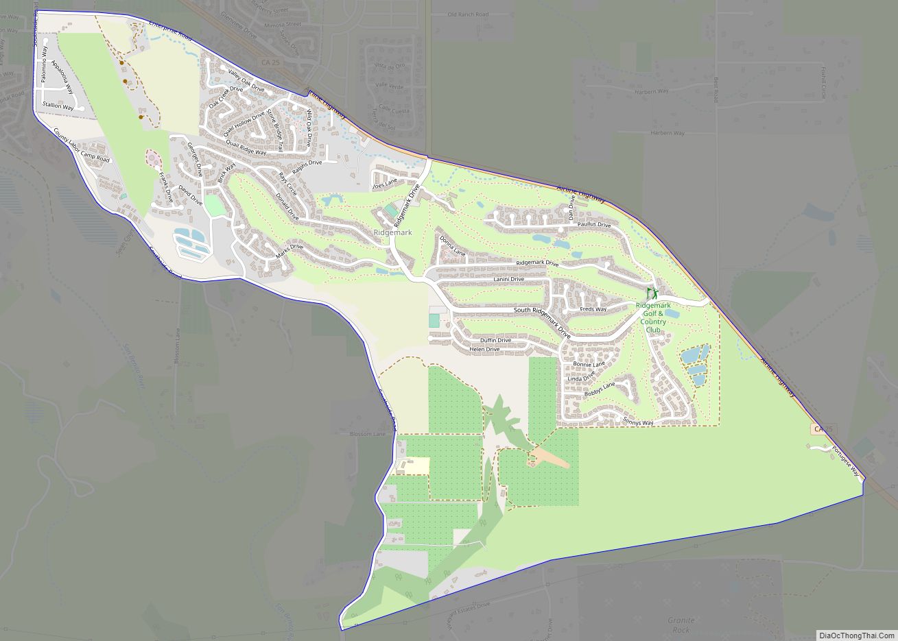
Ridgemark is a census-designated place (CDP) located adjacent to the southeastern edge of Hollister in San Benito County, California, United States. The community is a private, gated golf development with a golf course and just over 1,000 homes. Development of the community began in the early 1970s, and the population had reached 3,016 at the ... Read more
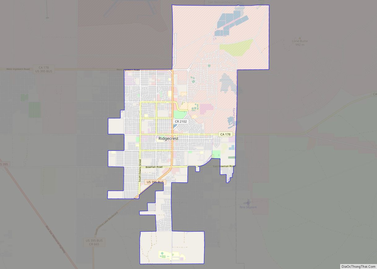
Ridgecrest is a city in Kern County, California, United States, along U.S. Route 395 in the Indian Wells Valley in northeastern Kern County, adjacent to the Naval Air Weapons Station China Lake (NAWS, or China Lake). It was incorporated as a city in 1963. The population was 27,959 at the 2020 census, up slightly from ... Read more
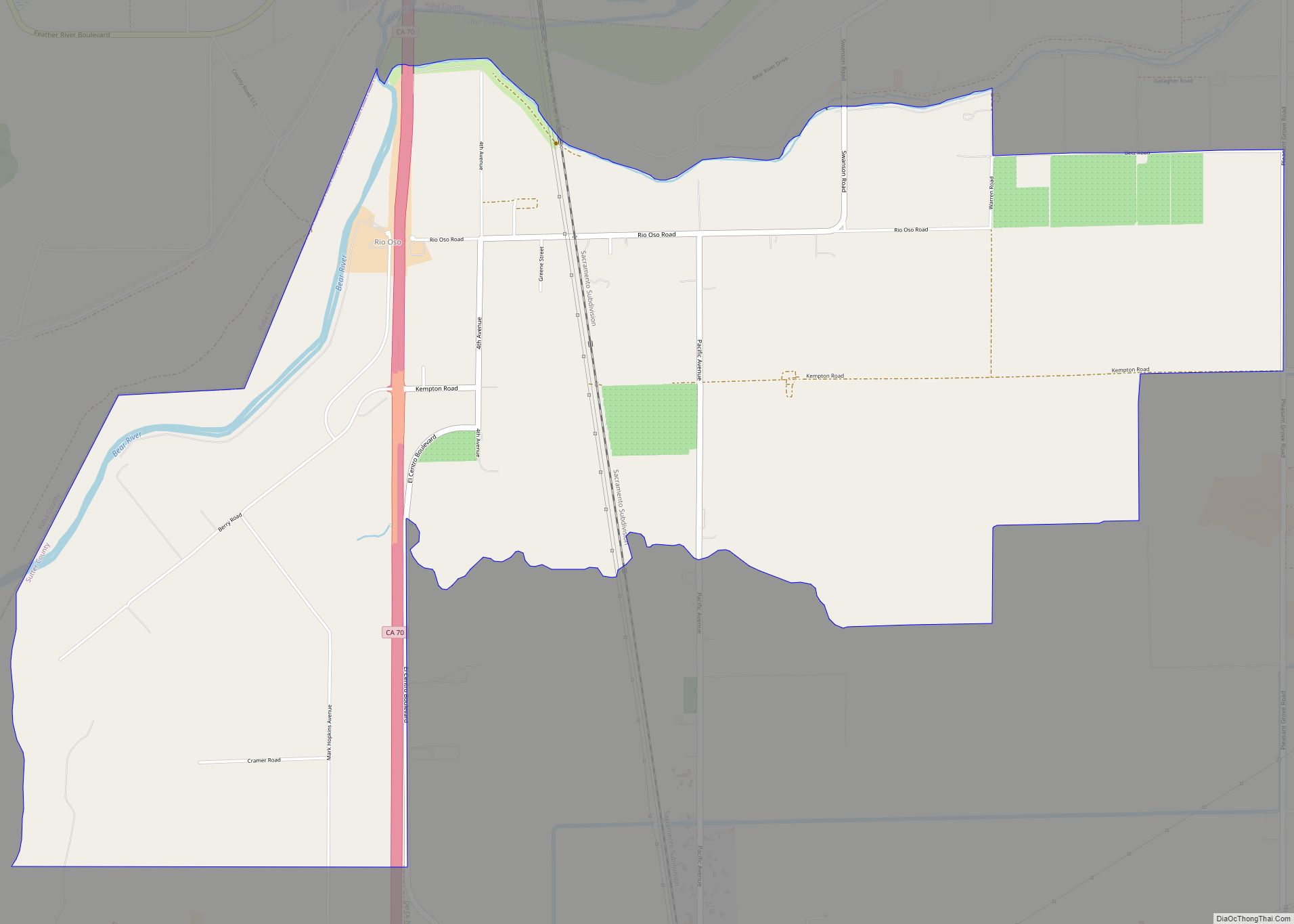
Rio Oso (Spanish: Río Oso, meaning “Bear River”) is a census-designated place (CDP) in Sutter County, California. Rio Oso sits at an elevation of 52 feet (16 m). The ZIP Code is 95674. The community is inside area code 530. The 2010 United States census reported Rio Oso’s population was 356. Rio Oso CDP overview: Name: ... Read more
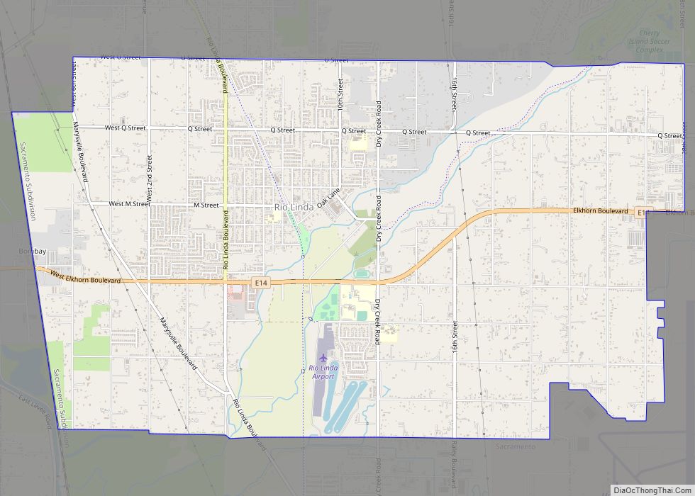
Rio Linda (Spanish: Río Linda, meaning “Pretty River”) is a census-designated place (CDP) in Sacramento County, California. It is part of the Sacramento metropolitan area. As of the 2010 census, the CDP population was 15,106, up from 10,466 at the time of the 2000 census. Rio Linda CDP overview: Name: Rio Linda CDP LSAD Code: ... Read more
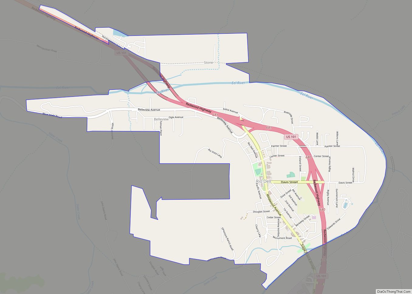
Rio Dell (Spanish: Río Dell, meaning “Dell River”) is a city in Humboldt County, California, United States. It is located on the west bank of the Eel River 1 mile (2 km) north of Scotia at an elevation of 161 feet (49 m). The population was 3,363 at the 2010 census, up from 3,174 at the ... Read more
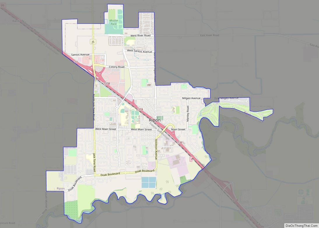
Ripon is a city located in San Joaquin County, California. The population was 14,297 at the 2010 census. Ripon was originally known as Stanislaus City, but was renamed for Ripon, Wisconsin, in 1876. Ripon city overview: Name: Ripon city LSAD Code: 25 LSAD Description: city (suffix) State: California County: San Joaquin County Incorporated: November 27, ... Read more
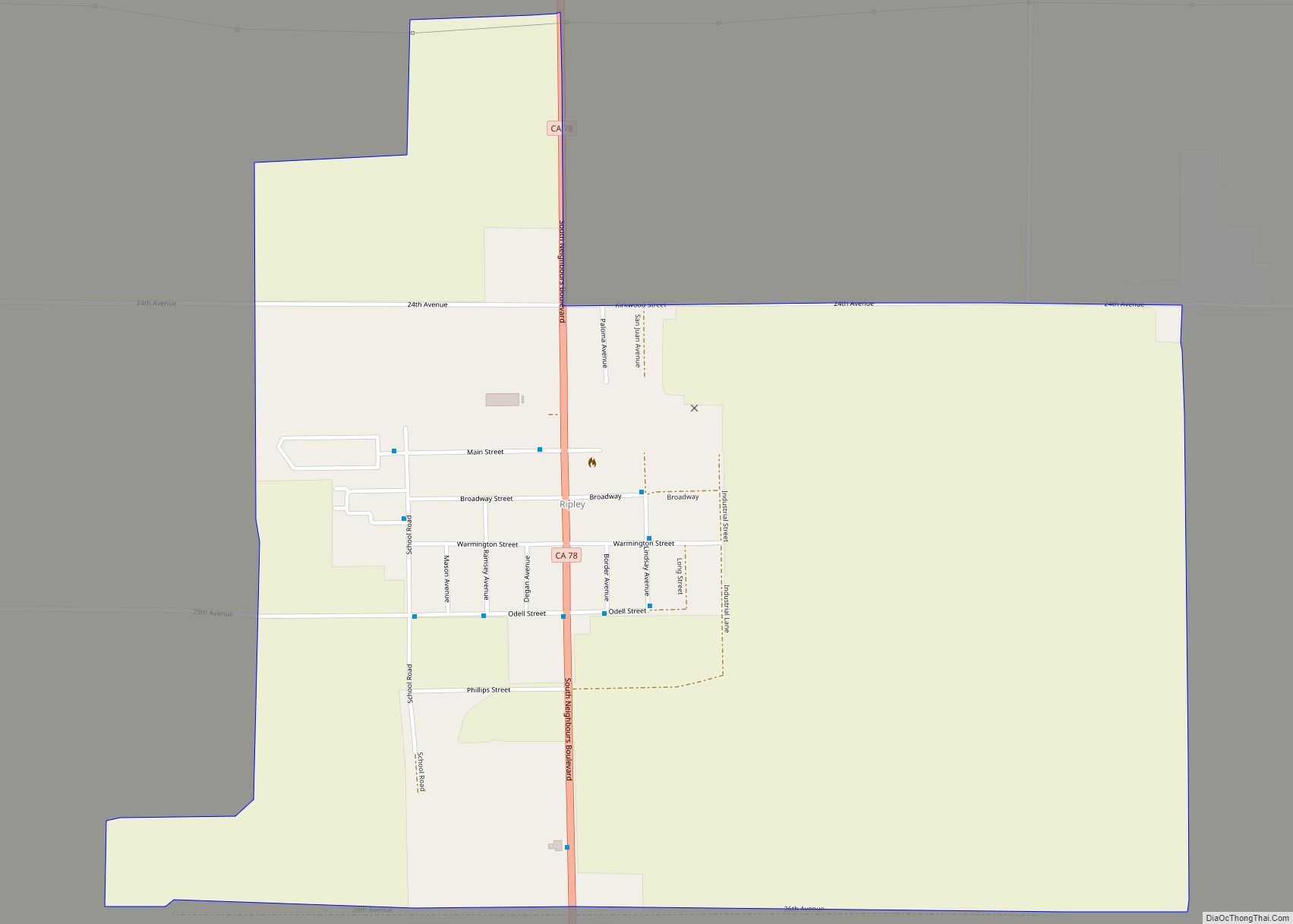
Ripley is a census-designated place community in east Riverside County. It is located along State Route 78 (SR78) between Palo Verde and Blythe. The area is mostly agricultural lands irrigated by Colorado River water. The elevation is 249 feet (76 m). The population was 692 at the 2010 census. Ripley CDP overview: Name: Ripley CDP LSAD ... Read more
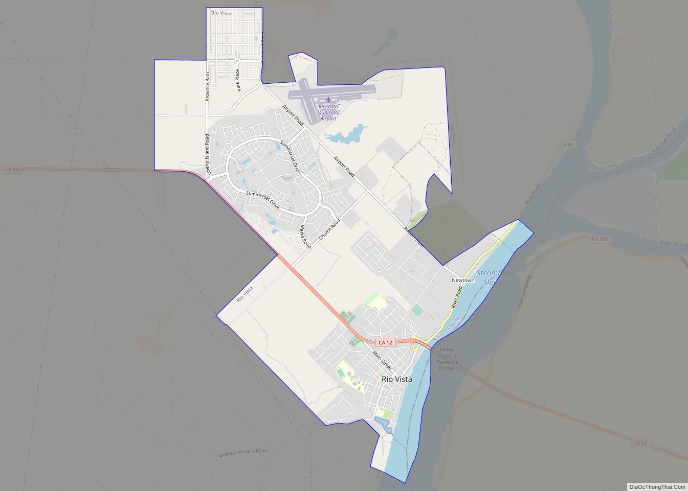
Rio Vista (Spanish: Río Vista, meaning “River View”) is a city located in the eastern end of Solano County, California, in the Sacramento River Delta region of Northern California. The population was 7,360 at the 2010 census. Rio Vista city overview: Name: Rio Vista city LSAD Code: 25 LSAD Description: city (suffix) State: California County: ... Read more
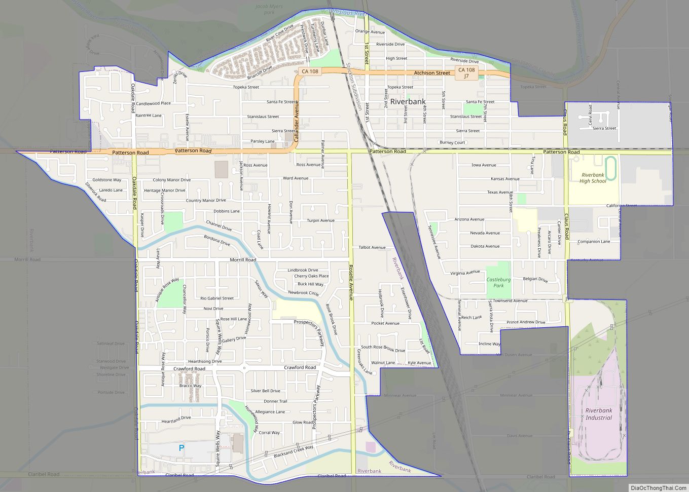
Riverbank is a city in Stanislaus County, California, United States. The population was 24,623 at the 2020 census, up from 15,826 at the 2000 census. Incorporated on August 23, 1922, Riverbank’s official slogan is “City of Action.” It is part of the Modesto Metropolitan Statistical Area. Riverbank was founded as a ferry crossing, and was ... Read more
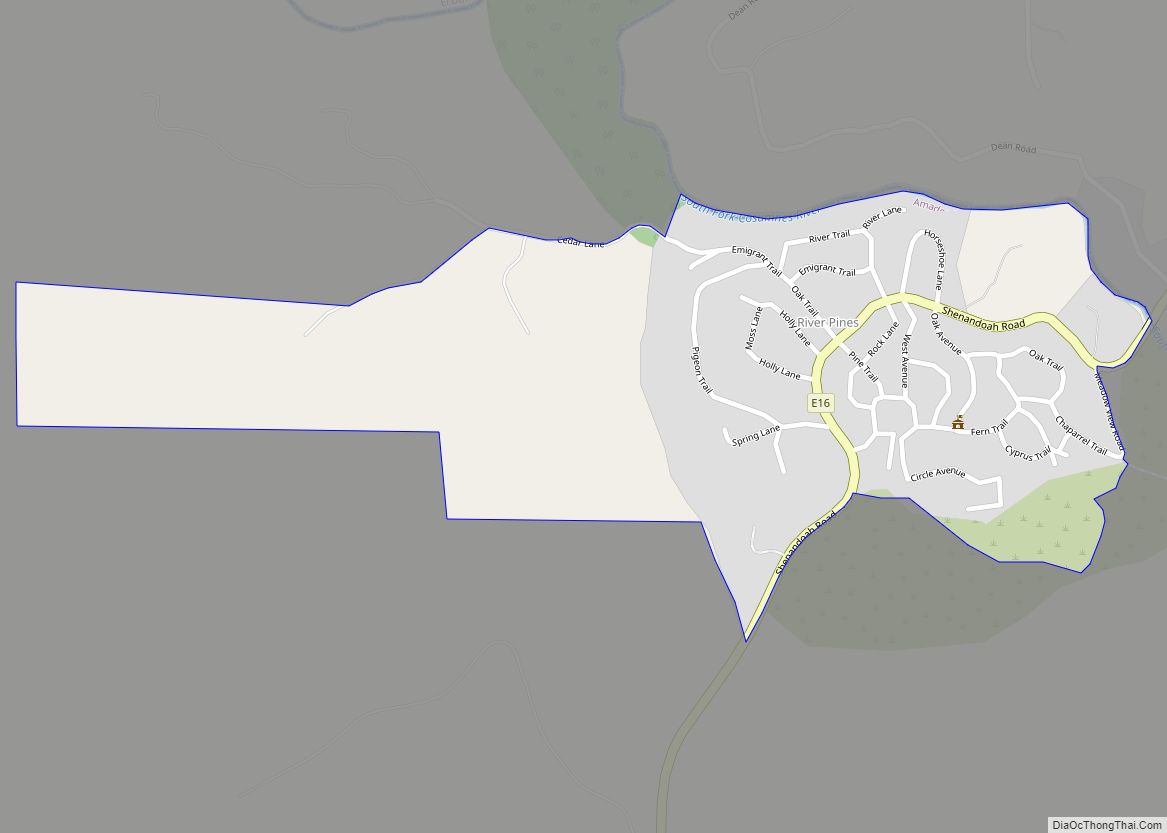
River Pines is a census-designated place in Amador County, California. It is located 3 miles (4.8 km) north-northeast of Fiddletown, at an elevation of 1985 feet (605 m). A post office opened at River Pines in 1948; it has the zip code of 95675. River Pines has a population of 379 (2010 census). River Pines CDP ... Read more
