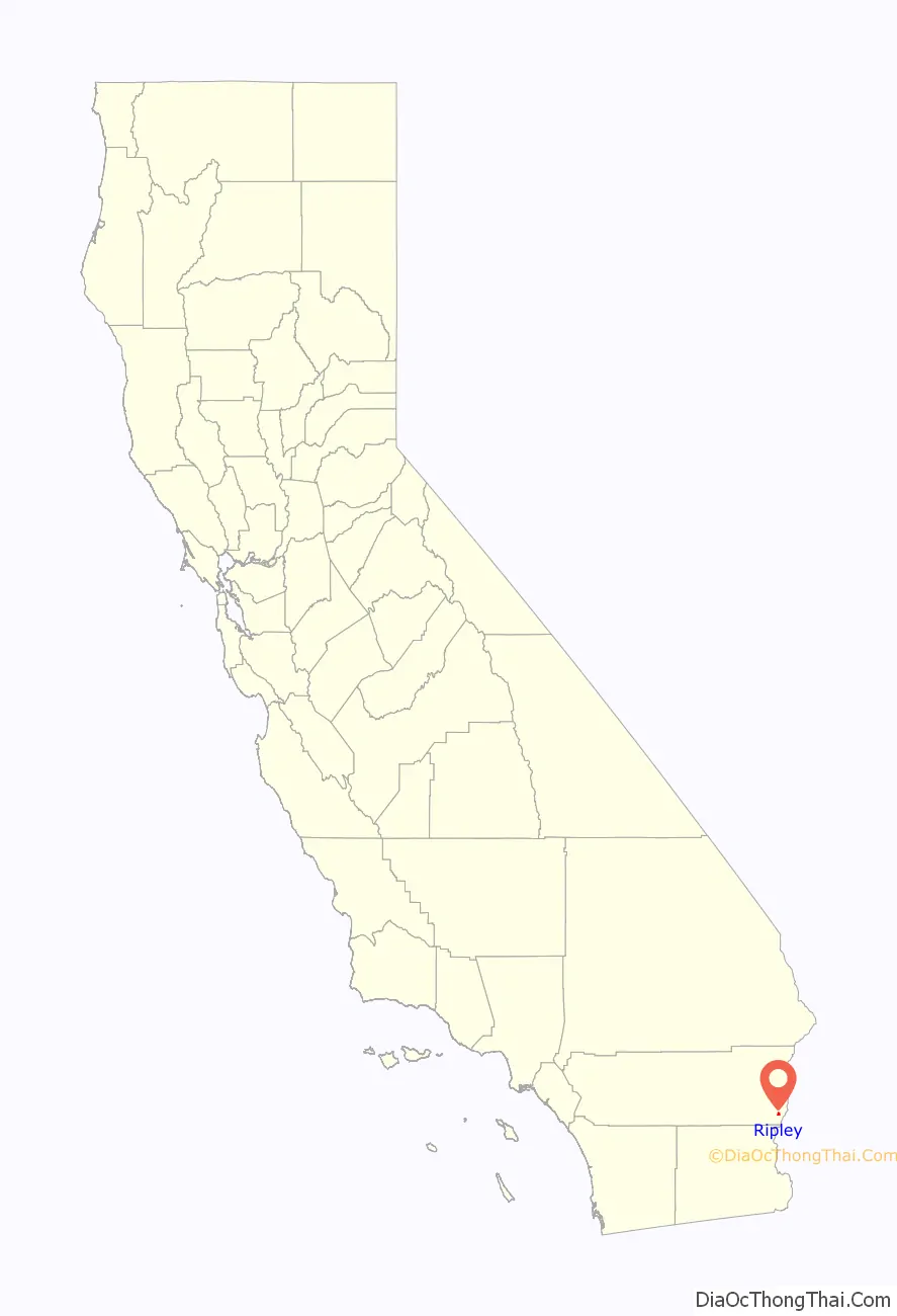
Ripley is a census-designated place community in east Riverside County. It is located along State Route 78 (SR78) between Palo Verde and Blythe. The area is mostly agricultural lands irrigated by Colorado River water. The elevation is 249 feet (76 m). The population was 692 at the 2010 census.
| Name: | Ripley CDP |
|---|---|
| LSAD Code: | 57 |
| LSAD Description: | CDP (suffix) |
| State: | California |
| County: | Riverside County |
| Elevation: | 249 ft (76 m) |
| Total Area: | 1.701 sq mi (4.405 km²) |
| Land Area: | 1.701 sq mi (4.405 km²) |
| Water Area: | 0 sq mi (0 km²) 0% |
| Total Population: | 692 |
| Population Density: | 410/sq mi (160/km²) |
| ZIP code: | 92272 |
| Area code: | 760 |
| FIPS code: | 0661012 |
| GNISfeature ID: | 2583122 |
Online Interactive Map
Click on ![]() to view map in "full screen" mode.
to view map in "full screen" mode.
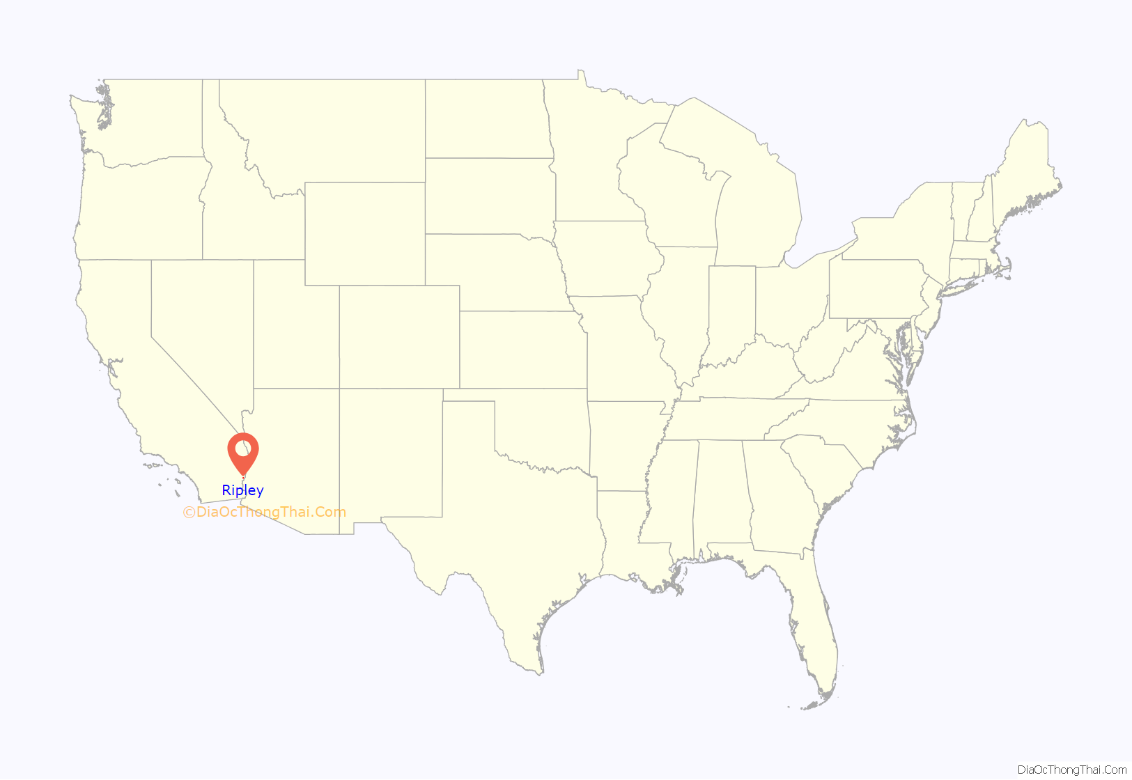
Ripley location map. Where is Ripley CDP?
History
Ripley was established in 1920 when the California Southern Railroad (unrelated to the railroad linking Barstow and San Diego) was extended from Blythe. The townsite was named to dedicate former Santa Fe Railway president Edward Payson Ripley. The town aimed to be a resort location until it was damaged by a flood that swept part of the valley in 1922. Today, a water tower remains as a landmark in town.
Ripley is near the site of a 1974 fatal bus wreck.
Ripley Road Map

Ripley city Satellite Map

Geography
According to the United States Census Bureau, the CDP covers an area of 1.7 square miles (4.4 km), all of it land. Alongside Blythe and Palo Verde, Ripley is located in the Palo Verde Valley.
Official U.S. Geological Survey NAD27 coordinates for the community are 33°31′31″N 114°39′19″W / 33.52528°N 114.65528°W / 33.52528; -114.65528. It is within area code 760 and has its own ZIP Code: 92272.
Climate
This area has a large amount of sunshine year round due to its stable descending air and high pressure. According to the Köppen Climate Classification system, Ripley has a desert climate, abbreviated “Bwh” on climate maps.
See also
Map of California State and its subdivision:- Alameda
- Alpine
- Amador
- Butte
- Calaveras
- Colusa
- Contra Costa
- Del Norte
- El Dorado
- Fresno
- Glenn
- Humboldt
- Imperial
- Inyo
- Kern
- Kings
- Lake
- Lassen
- Los Angeles
- Madera
- Marin
- Mariposa
- Mendocino
- Merced
- Modoc
- Mono
- Monterey
- Napa
- Nevada
- Orange
- Placer
- Plumas
- Riverside
- Sacramento
- San Benito
- San Bernardino
- San Diego
- San Francisco
- San Joaquin
- San Luis Obispo
- San Mateo
- Santa Barbara
- Santa Clara
- Santa Cruz
- Shasta
- Sierra
- Siskiyou
- Solano
- Sonoma
- Stanislaus
- Sutter
- Tehama
- Trinity
- Tulare
- Tuolumne
- Ventura
- Yolo
- Yuba
- Alabama
- Alaska
- Arizona
- Arkansas
- California
- Colorado
- Connecticut
- Delaware
- District of Columbia
- Florida
- Georgia
- Hawaii
- Idaho
- Illinois
- Indiana
- Iowa
- Kansas
- Kentucky
- Louisiana
- Maine
- Maryland
- Massachusetts
- Michigan
- Minnesota
- Mississippi
- Missouri
- Montana
- Nebraska
- Nevada
- New Hampshire
- New Jersey
- New Mexico
- New York
- North Carolina
- North Dakota
- Ohio
- Oklahoma
- Oregon
- Pennsylvania
- Rhode Island
- South Carolina
- South Dakota
- Tennessee
- Texas
- Utah
- Vermont
- Virginia
- Washington
- West Virginia
- Wisconsin
- Wyoming


