Ridgecrest is a city in Kern County, California, United States, along U.S. Route 395 in the Indian Wells Valley in northeastern Kern County, adjacent to the Naval Air Weapons Station China Lake (NAWS, or China Lake). It was incorporated as a city in 1963. The population was 27,959 at the 2020 census, up slightly from 27,616 at the 2010 census.
Ridgecrest is surrounded by four mountain ranges; the Sierra Nevada on the west, the Cosos on the north, the Argus Range on the east, and the El Paso Mountains on the south. It is approximately 82 miles (132 km) from the Lancaster/Palmdale area, 110 miles (177 km) from Bakersfield, and 120 miles (193 km) from San Bernardino, the three nearest major urban centers. Private air travel in and out of the city is provided through the Inyokern Airport. There are currently no scheduled commercial flights.
The city has been near the epicenter of major earthquakes, including one in 1995 and a series of quakes in July 2019.
| Name: | Ridgecrest city |
|---|---|
| LSAD Code: | 25 |
| LSAD Description: | city (suffix) |
| State: | California |
| County: | Kern County |
| Incorporated: | November 29, 1963 |
| Elevation: | 2,290 ft (698 m) |
| Total Area: | 21.53 sq mi (55.76 km²) |
| Land Area: | 20.88 sq mi (54.08 km²) |
| Water Area: | 0.65 sq mi (1.69 km²) 3.04% |
| Total Population: | 27,959 |
| Population Density: | 1,300/sq mi (500/km²) |
| FIPS code: | 0660704 |
| Website: | www.ridgecrest-ca.gov |
Online Interactive Map
Click on ![]() to view map in "full screen" mode.
to view map in "full screen" mode.
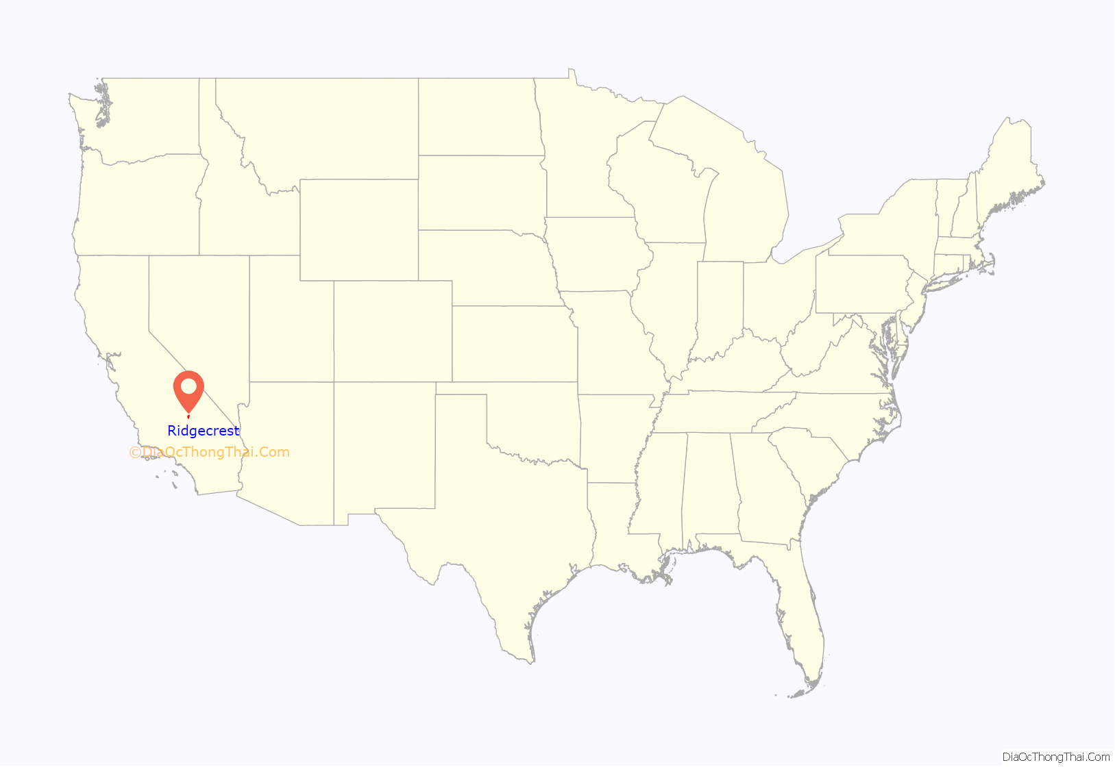
Ridgecrest location map. Where is Ridgecrest city?

History
The settlement began as a farming community called Crumville in 1912, honoring James and Robert Crum, local dairymen. The first post office opened in 1941. By 1943, Ridgecrest had grown to 115 homes and 196 residents. NOTS (Naval Ordnance Test Station) was established in November 1943, providing a strong job base for the years to come.
Ridgecrest incorporated in 1963. During this era the growth of Ridgecrest was governed by the continuing needs of the high tech industries coupled to the Naval Air Weapons Station (NAWS) programs for testing arms and guidance systems.
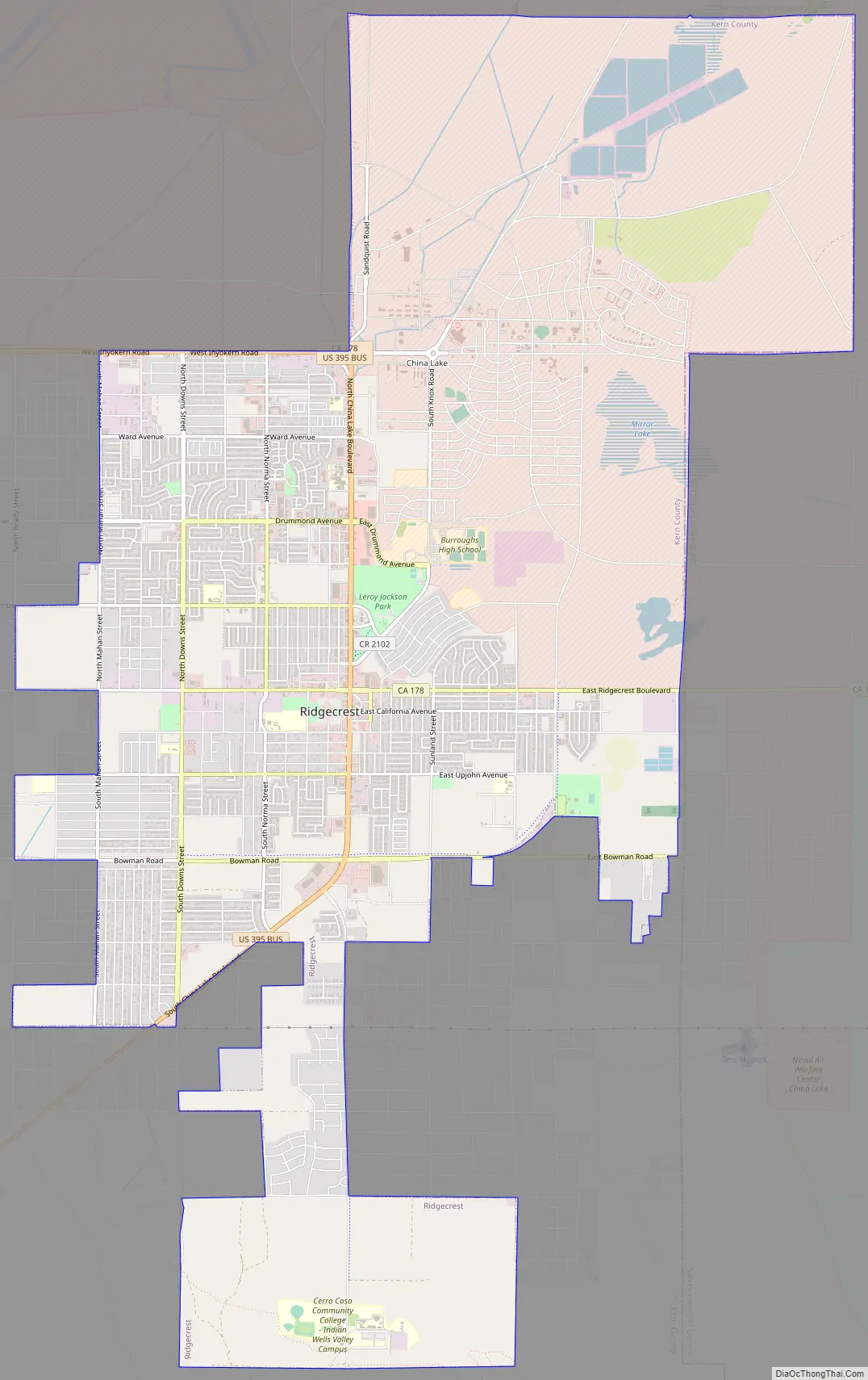
Ridgecrest Road Map
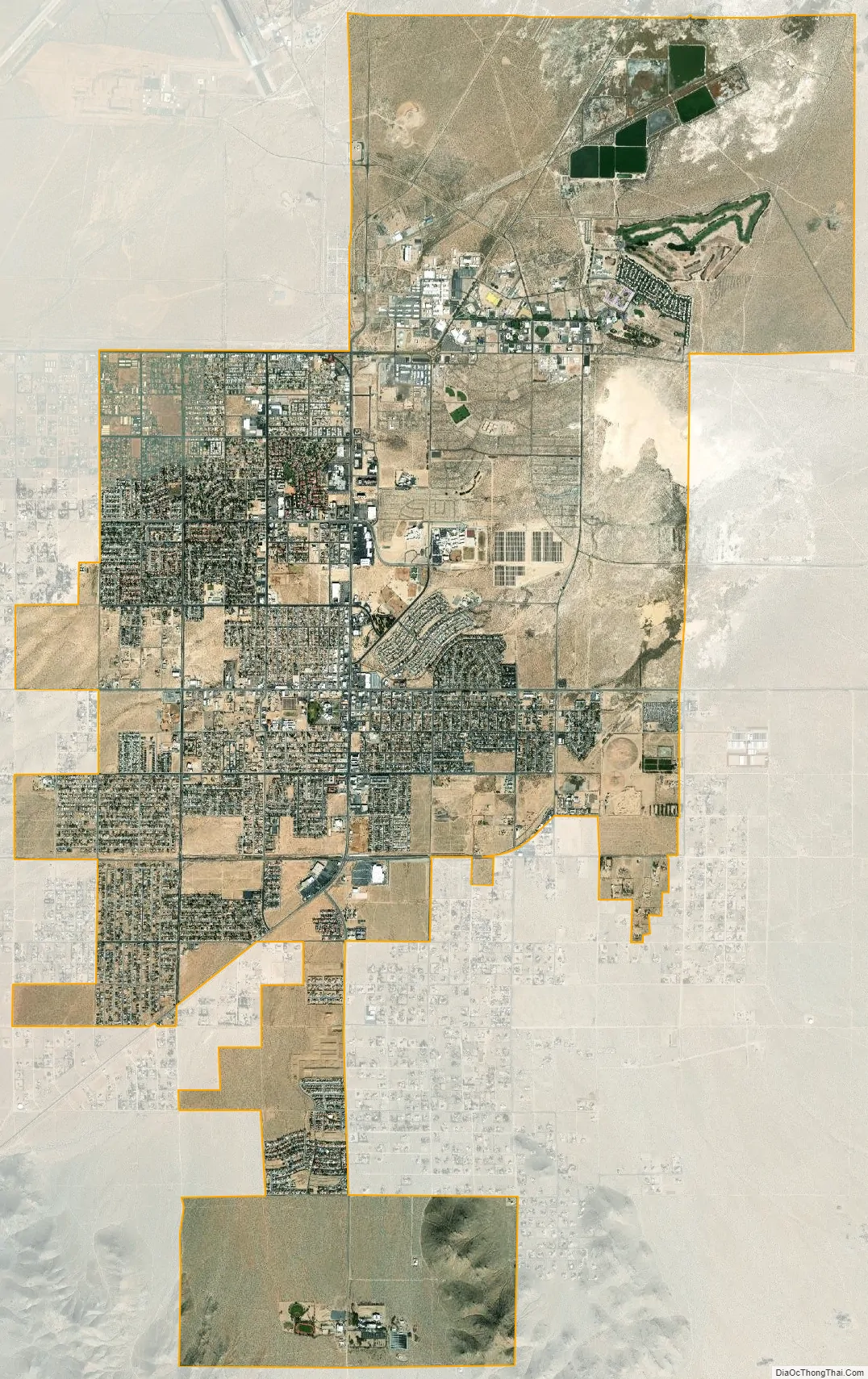
Ridgecrest city Satellite Map
Geography
According to the United States Census Bureau, the city has a total area of 21.4 square miles (55.4 km), of which 20.8 sq mi (53.9 km) is land and 0.7 sq mi (1.8 km) of it (3.04%) is water. Ridgecrest is located in Indian Wells Valley, which is a southern extension of Owens Valley, broken up by the volcanic Coso Range.
1995 earthquake
The area, associated with the Eastern California Shear Zone, has in the past experienced numerous earthquake swarms, groups of several thousand quakes under magnitude 6.0 or so, often with no obvious mainshock. The 1995 Ridgecrest earthquake sequence started on August 17, when a magnitude 5.4 quake, centered 18 kilometers (11 mi) north of the town of Ridgecrest, shook the area and spawned over 2,500 aftershocks over the course of the following five weeks. Then, on September 20, 1995, the second large quake struck the area: it measured magnitude 5.8, and was at that time the largest earthquake to hit southern California since the 1994 Northridge earthquake.
2019 earthquakes
On July 4–5, 2019, Ridgecrest was associated with a series of earthquakes, including the largest to affect the area in decades, measuring 7.1 magnitude. The epicenter was about 10 miles northeast of Ridgecrest. The earthquake sequence started with a 4.0 quake 11 kilometers (6.8 mi) southwest of Searles Valley, then at 10:33 A.M. a 6.4 quake struck 12 kilometers (7.5 mi) southwest of Searles Valley. Over 1,400 aftershocks struck Searles Valley and Ridgecrest. On July 5, 2019, at 8:19 P.M., the magnitude 7.1 earthquake occurred, with the epicenter approximately 10 miles northeast of Ridgecrest.
Climate
The weather in the Indian Wells Valley is predominantly influenced by its high desert location. The climate is characterized by hot days and cool nights with extremely arid conditions prevailing throughout the summer months. The mean annual maximum temperature for the Ridgecrest area is 75 °F (24 °C) while the mean annual minimum temperature is 48 °F (9 °C). There are wide annual temperature fluctuations that occur from a high of 119 °F (48 °C) to a low of 1 °F (−17 °C). On average, annual rainfall is less than 5 inches (130 mm) “equivalent rainfall” per year, which includes less than 2 inches (51 mm) of snow. The area is known to have wind as high as 75 mph (121 km/h). December is the coolest month with an average maximum temperature of 60 °F (16 °C) and an average minimum temperature of 30 °F (−1 °C). The all-time minimum temperature of 1 °F (−17 °C) was recorded on December 23, 1963, and January 7, 1973.
July is the hottest month with an average maximum temperature of 103 °F (39 °C) and an average minimum temperature of 66 °F (19 °C). The all-time maximum temperature of 119 °F (48 °C) was recorded on July 11, 2021, tied with July 1988 and July 1993.
See also
Map of California State and its subdivision:- Alameda
- Alpine
- Amador
- Butte
- Calaveras
- Colusa
- Contra Costa
- Del Norte
- El Dorado
- Fresno
- Glenn
- Humboldt
- Imperial
- Inyo
- Kern
- Kings
- Lake
- Lassen
- Los Angeles
- Madera
- Marin
- Mariposa
- Mendocino
- Merced
- Modoc
- Mono
- Monterey
- Napa
- Nevada
- Orange
- Placer
- Plumas
- Riverside
- Sacramento
- San Benito
- San Bernardino
- San Diego
- San Francisco
- San Joaquin
- San Luis Obispo
- San Mateo
- Santa Barbara
- Santa Clara
- Santa Cruz
- Shasta
- Sierra
- Siskiyou
- Solano
- Sonoma
- Stanislaus
- Sutter
- Tehama
- Trinity
- Tulare
- Tuolumne
- Ventura
- Yolo
- Yuba
- Alabama
- Alaska
- Arizona
- Arkansas
- California
- Colorado
- Connecticut
- Delaware
- District of Columbia
- Florida
- Georgia
- Hawaii
- Idaho
- Illinois
- Indiana
- Iowa
- Kansas
- Kentucky
- Louisiana
- Maine
- Maryland
- Massachusetts
- Michigan
- Minnesota
- Mississippi
- Missouri
- Montana
- Nebraska
- Nevada
- New Hampshire
- New Jersey
- New Mexico
- New York
- North Carolina
- North Dakota
- Ohio
- Oklahoma
- Oregon
- Pennsylvania
- Rhode Island
- South Carolina
- South Dakota
- Tennessee
- Texas
- Utah
- Vermont
- Virginia
- Washington
- West Virginia
- Wisconsin
- Wyoming


