Map of Gypsum town

Map of Gypsum town, Colorado

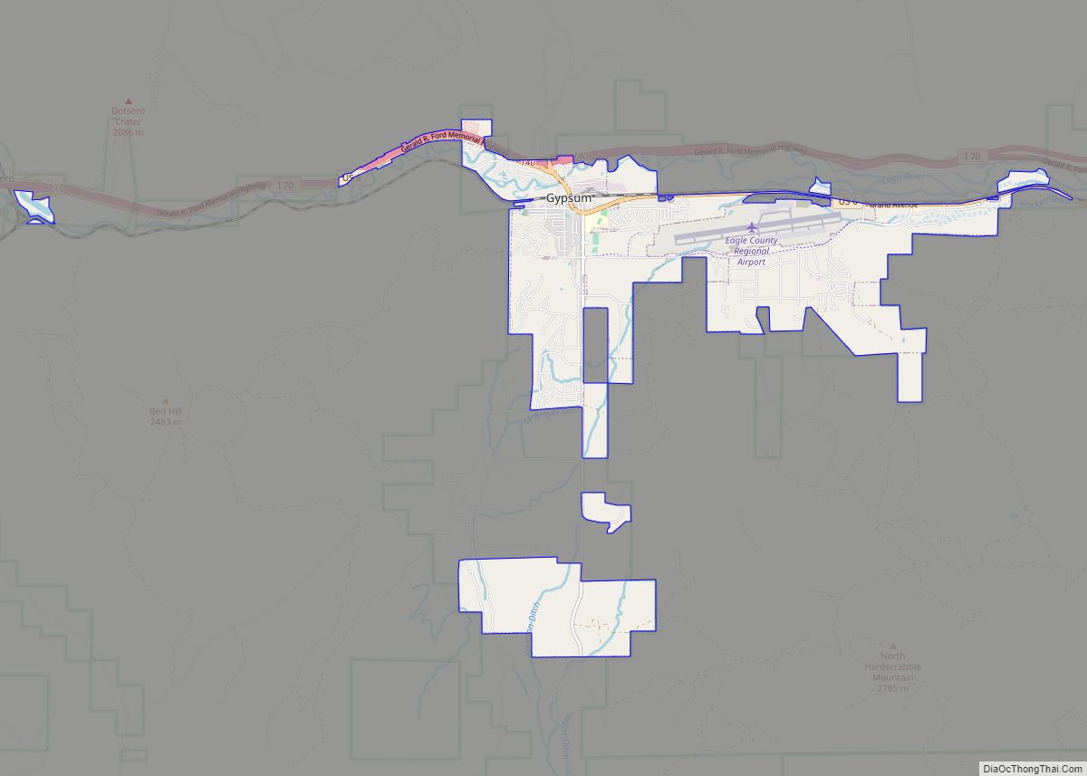
The Town of Gypsum is the home rule municipality that is the most populous municipality in Eagle County, Colorado, United States. The town population was 8,040 at the 2020 United States Census, a +24.13% increase since the 2010 United States Census. Gypsum is a part of the Edwards, CO Micropolitan Statistical Area. Gypsum is the … Read more

Map of Gunnison city

Map of Gunnison city, Colorado

Gunnison is a home rule municipality that is the county seat and the most populous municipality of Gunnison County, Colorado. The city population was 6,560 at the 2020 United States Census. Gunnison was named in honor of John W. Gunnison, a United States Army officer who surveyed for a transcontinental railroad in 1853. Gunnison city … Read more

Map of Haxtun town

Map of Haxtun town

Haxtun is a statutory town in Phillips County, Colorado, United States The town population was 981 at the 2020 United States Census. Haxtun town overview: Name: Haxtun town LSAD Code: 43 LSAD Description: town (suffix) State: Colorado County: Phillips County Elevation: 4,029 ft (1,228 m) Total Area: 0.595 sq mi (1.542 km²) Land Area: 0.595 sq mi (1.542 km²) Water Area: 0.000 sq mi (0.000 km²) … Read more

Map of Haswell town

Map of Haswell town

The Town of Haswell is a Statutory Town located in Kiowa County, Colorado, United States. The town population was 71 at the 2020 United States Census. Haswell town overview: Name: Haswell town LSAD Code: 43 LSAD Description: town (suffix) State: Colorado County: Kiowa County Incorporated: September 2, 1920 Elevation: 4,544 ft (1,385 m) Total Area: 0.803 sq mi (2.079 km²) … Read more

Map of Hasty CDP

Map of Hasty CDP

Hasty is an unincorporated town, a post office, and a census-designated place (CDP) located in and governed by Bent County, Colorado, United States. The Hasty post office has the ZIP code 81044. At the United States Census 2020, the population of the Hasty CDP was 182. Hasty CDP overview: Name: Hasty CDP LSAD Code: 57 … Read more

Map of Hayden town, Colorado

Map of Hayden town, Colorado

The Town of Hayden is a home rule municipality located in Routt County, Colorado, United States. The town population was 1,941 at the 2020 United States Census. Hayden is a part of the Steamboat Springs, CO Micropolitan Statistical Area. The town sits along U.S. Highway 40 in the Yampa River Valley between Craig and Steamboat … Read more

Map of Hidden Lake CDP

Map of Hidden Lake CDP

Hidden Lake is an unincorporated community and a census-designated place (CDP) located in and governed by Boulder County, Colorado, United States. The CDP is a part of the Boulder, CO Metropolitan Statistical Area. The population of the Hidden Lake CDP was 24 at the United States Census 2020. The Ward post office (Zip Code 80481) … Read more

Map of Heeney CDP

Map of Heeney CDP

Heeney is an unincorporated community and a census-designated place (CDP) located in and governed by Summit County, Colorado, United States. The CDP is a part of the Breckenridge, CO Micropolitan Statistical Area. The population of the Heeney CDP was 74 at the United States Census 2020. The Silverthorne post office (Zip Code 80498) serves Heeney … Read more

Map of Hoehne CDP

Map of Hoehne CDP

Hoehne is an unincorporated town, a post office, and a census-designated place (CDP) located in and governed by Las Animas County, Colorado, United States. The Hoehne post office has the ZIP Code 81046 (post office boxes). At the United States Census 2020, the population of the Hoehne CDP was 80. Hoehne CDP overview: Name: Hoehne … Read more

Map of Hillrose town

Map of Hillrose town

The Town of Hillrose is a statutory town located in Morgan County, Colorado, United States. The town population was 312 at the 2020 United States Census, an 18.18% increase since the 2010 United States Census. Hillrose town overview: Name: Hillrose town LSAD Code: 43 LSAD Description: town (suffix) State: Colorado County: Morgan County Elevation: 4,170 ft … Read more

Map of Highlands Ranch CDP

Map of Highlands Ranch CDP

Highlands Ranch is an unincorporated community and a census-designated place (CDP) located in and governed by Douglas County, Colorado, United States. The CDP is a part of the Denver–Aurora–Lakewood, CO Metropolitan Statistical Area. The population of the Highlands Ranch CDP was 105,631 at the United States Census 2020, making it the most populous unincorporated community … Read more

Map of Holyoke city

Map of Holyoke city, Colorado

Holyoke is the home rule municipality that is the county seat and the most populous municipality of Phillips County, Colorado, United States. The city population was 2,346 at the 2020 United States Census. Holyoke city overview: Name: Holyoke city LSAD Code: 25 LSAD Description: city (suffix) State: Colorado County: Phillips County Incorporated: May 31, 1888 … Read more