Holyoke is the home rule municipality that is the county seat and the most populous municipality of Phillips County, Colorado, United States. The city population was 2,346 at the 2020 United States Census.
| Name: | Holyoke city |
|---|---|
| LSAD Code: | 25 |
| LSAD Description: | city (suffix) |
| State: | Colorado |
| County: | Phillips County |
| Incorporated: | May 31, 1888 |
| Elevation: | 3,750 ft (1,143 m) |
| Total Area: | 2.476 sq mi (6.414 km²) |
| Land Area: | 2.470 sq mi (6.396 km²) |
| Water Area: | 0.007 sq mi (0.018 km²) |
| Total Population: | 2,346 |
| Population Density: | 950/sq mi (370/km²) |
| ZIP code: | 80734 |
| Area code: | 970 |
| FIPS code: | 0837270 |
| GNISfeature ID: | 0182823 |
Online Interactive Map
Click on ![]() to view map in "full screen" mode.
to view map in "full screen" mode.
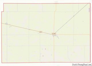
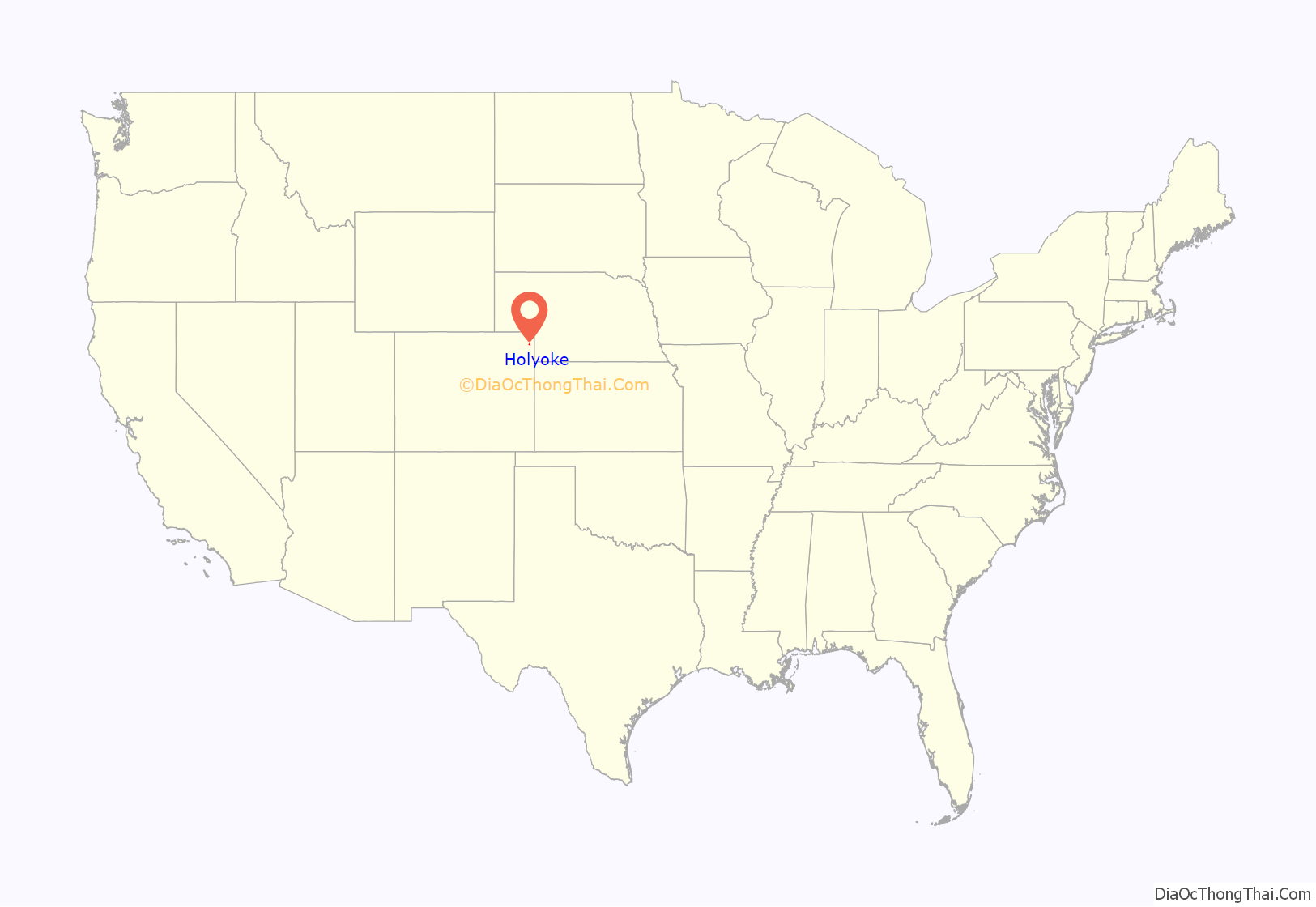
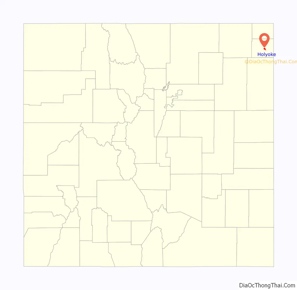
Holyoke location map. Where is Holyoke city?
History
The city is named after Holyoke, Massachusetts, which is itself named for Elizur Holyoke, an explorer in the 17th-century.
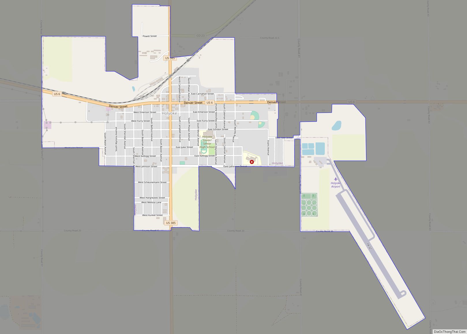
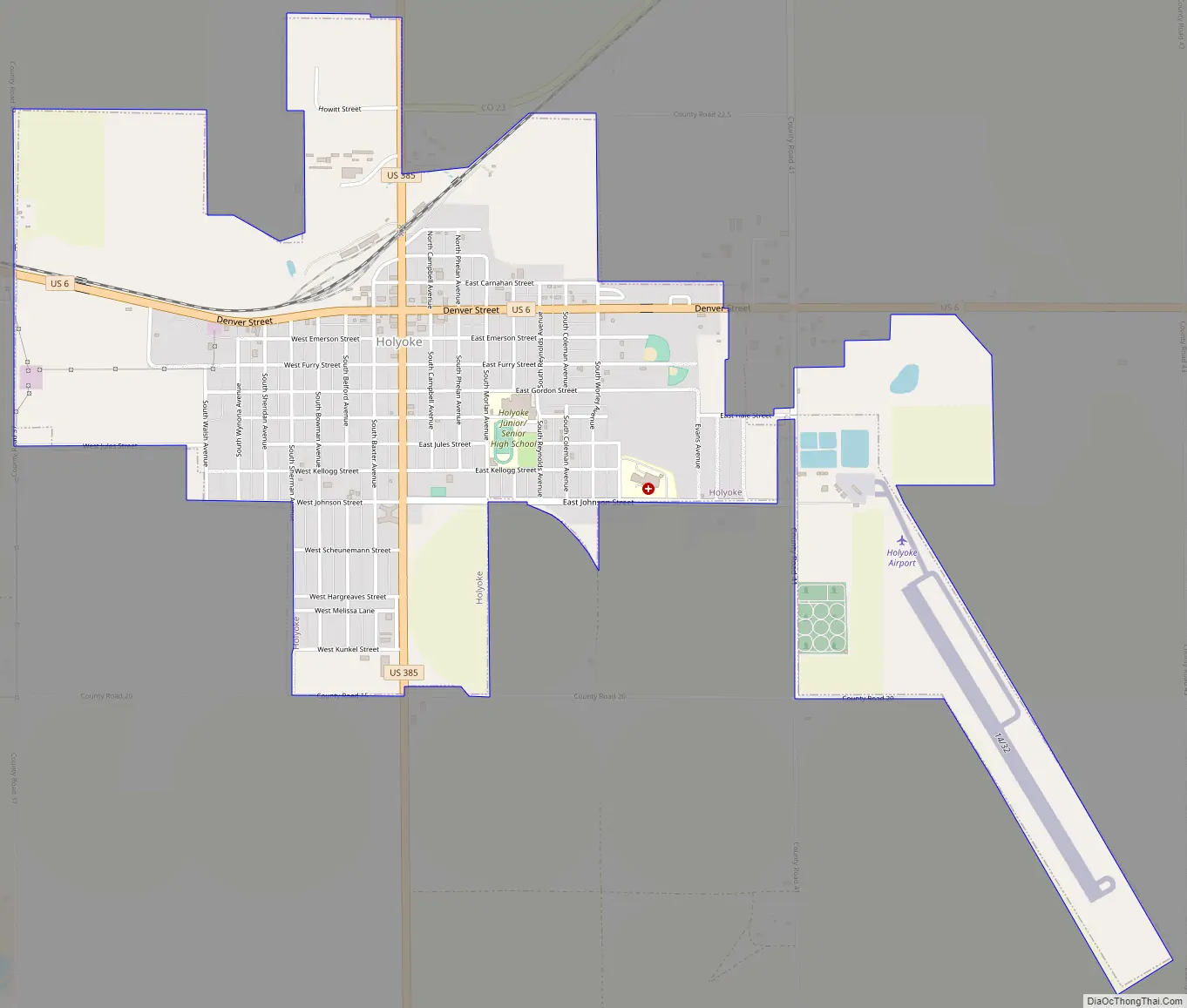
Holyoke Road Map
Holyoke city Satellite Map
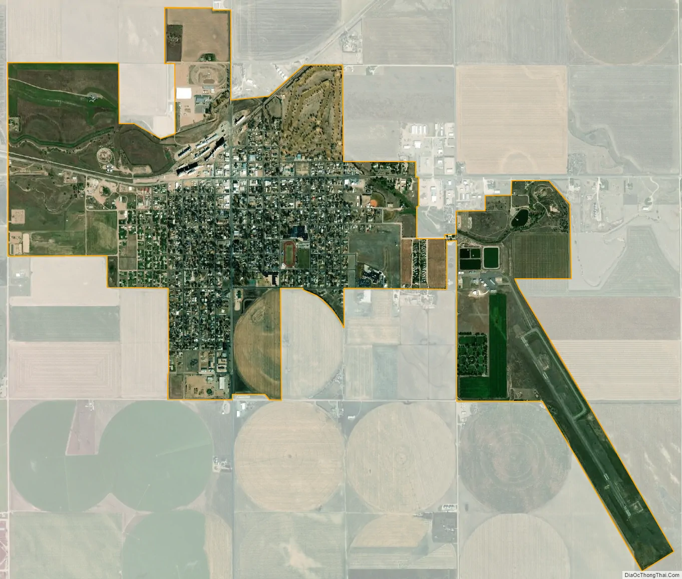
Geography
Holyoke is located at 40°34′55″N 102°18′4″W / 40.58194°N 102.30111°W / 40.58194; -102.30111 (40.582002, -102.301056).
At the 2020 United States Census, the town had a total area of 1,585 acres (6.414 km) including 4.4 acres (0.018 km) of water.
Climate
According to the Köppen Climate Classification system, Holyoke has a cold semi-arid climate, abbreviated “BSk” on climate maps.
See also
Map of Colorado State and its subdivision:- Adams
- Alamosa
- Arapahoe
- Archuleta
- Baca
- Bent
- Boulder
- Broomfield
- Chaffee
- Cheyenne
- Clear Creek
- Conejos
- Costilla
- Crowley
- Custer
- Delta
- Denver
- Dolores
- Douglas
- Eagle
- El Paso
- Elbert
- Fremont
- Garfield
- Gilpin
- Grand
- Gunnison
- Hinsdale
- Huerfano
- Jackson
- Jefferson
- Kiowa
- Kit Carson
- La Plata
- Lake
- Larimer
- Las Animas
- Lincoln
- Logan
- Mesa
- Mineral
- Moffat
- Montezuma
- Montrose
- Morgan
- Otero
- Ouray
- Park
- Phillips
- Pitkin
- Prowers
- Pueblo
- Rio Blanco
- Rio Grande
- Routt
- Saguache
- San Juan
- San Miguel
- Sedgwick
- Summit
- Teller
- Washington
- Weld
- Yuma
- Alabama
- Alaska
- Arizona
- Arkansas
- California
- Colorado
- Connecticut
- Delaware
- District of Columbia
- Florida
- Georgia
- Hawaii
- Idaho
- Illinois
- Indiana
- Iowa
- Kansas
- Kentucky
- Louisiana
- Maine
- Maryland
- Massachusetts
- Michigan
- Minnesota
- Mississippi
- Missouri
- Montana
- Nebraska
- Nevada
- New Hampshire
- New Jersey
- New Mexico
- New York
- North Carolina
- North Dakota
- Ohio
- Oklahoma
- Oregon
- Pennsylvania
- Rhode Island
- South Carolina
- South Dakota
- Tennessee
- Texas
- Utah
- Vermont
- Virginia
- Washington
- West Virginia
- Wisconsin
- Wyoming