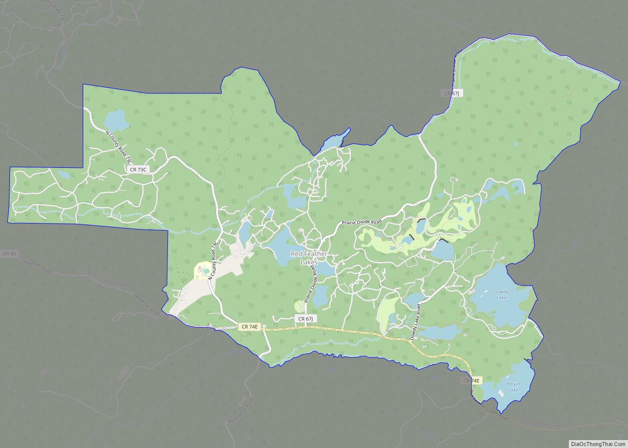
Red Feather Lakes is an unincorporated town, a post office, and a census-designated place (CDP) located in and governed by Larimer County, Colorado, United States. The CDP is a part of the Fort Collins, CO Metropolitan Statistical Area. The Red Feather Lakes post office has the ZIP Code 80545. At the United States Census 2020, ... Read more
Colorado Cities and Places
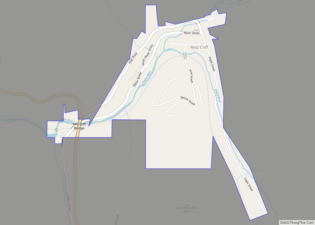
Red Cliff (sometimes spelled Redcliff) is a statutory town in Eagle County, Colorado, United States. The population was 257 at the 2020 census. The town is a former mining camp situated in the canyon of the upper Eagle River just off U.S. Highway 24 north of Tennessee Pass. The town site is concealed below the ... Read more
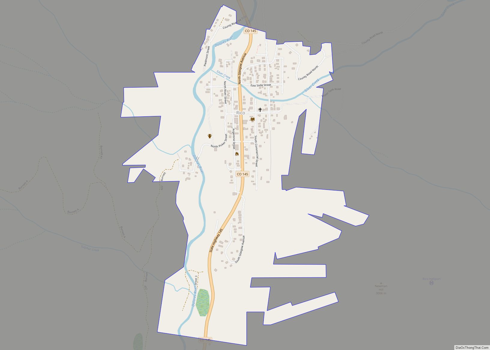
Rico is an incorporated small town in Dolores County, Colorado, United States. It was settled in 1879 as a silver mining center in the Pioneer Mining District; today it functions as a historic and tourism site. The population was 288 at the 2020 census. Its current form of government is that of a home rule ... Read more
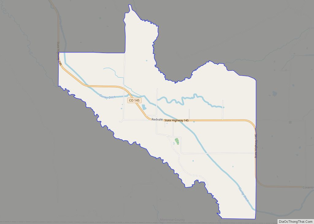
Redvale is an unincorporated town, a post office, and a census-designated place (CDP) located in and governed by Montrose County, Colorado, United States. The CDP is a part of the Montrose, CO Micropolitan Statistical Area. The Redvale post office has the ZIP Code 81431. At the 2020 census, the population of the Redvale CDP was ... Read more
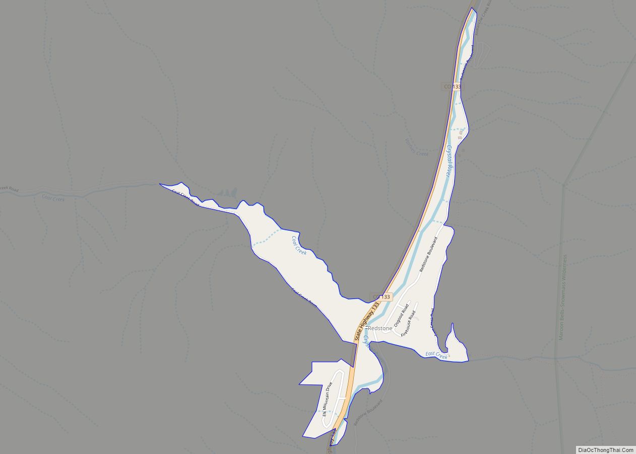
Redstone is an unincorporated town and a census-designated place (CDP) located in and governed by Pitkin County, Colorado, United States. The CDP is a part of the Glenwood Springs, CO Micropolitan Statistical Area. The population of the Redstone CDP was 127 at the United States Census 2020. The Carbondale post office (Zip Code 81623) serves ... Read more
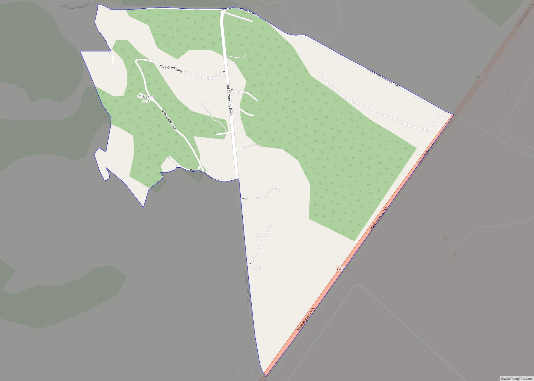
Rock Creek Park is an unincorporated community and a census-designated place (CDP) located in and governed by El Paso County, Colorado, United States. The CDP is a part of the Colorado Springs, CO Metropolitan Statistical Area. The population of the Rock Creek Park CDP was 68 at the United States Census 2020. The Colorado Springs ... Read more
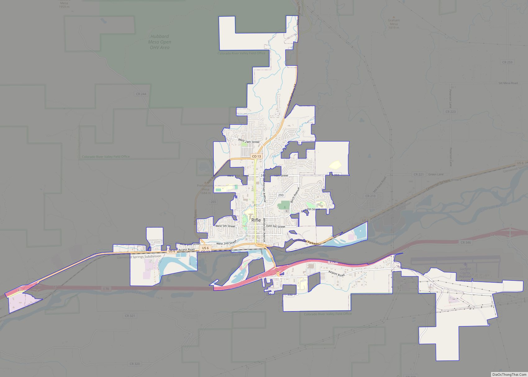
Rifle is a home rule municipality in and the most populous community of Garfield County, Colorado, United States. The population was 10,437 at the 2020 census. Rifle is a regional center of the cattle ranching industry located along Interstate 70 and the Colorado River just east of the Roan Plateau, which dominates the western skyline ... Read more
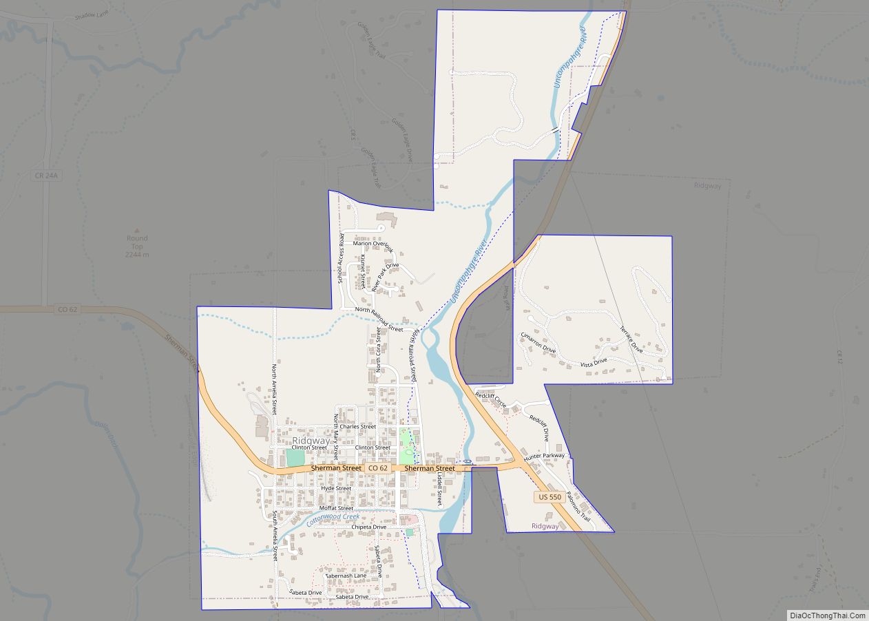
The Town of Ridgway is the home rule municipality that is the most populous municipality in Ouray County, Colorado, United States. The town is a former railroad stop on the Uncompahgre River in the northern San Juan Mountains. The town population was 1,183 at the 2020 census. Steep forested mountains and cliffs surround Ridgway on ... Read more
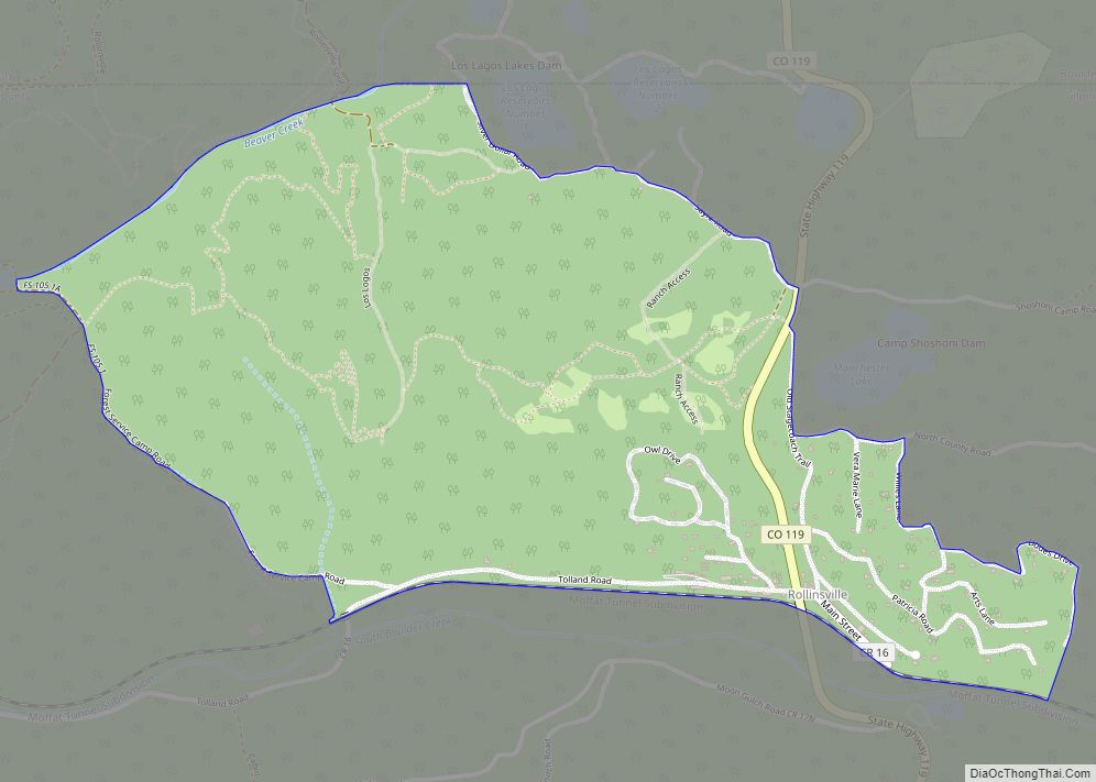
Rollinsville is a census-designated place (CDP) and post office in and governed by Gilpin County, Colorado, United States. The CDP is a part of the Denver–Aurora–Lakewood, CO Metropolitan Statistical Area. The Rollinsville post office has the ZIP Code 80474 (post office boxes). At the United States Census 2020, the population of the Rollinsville CDP was ... Read more
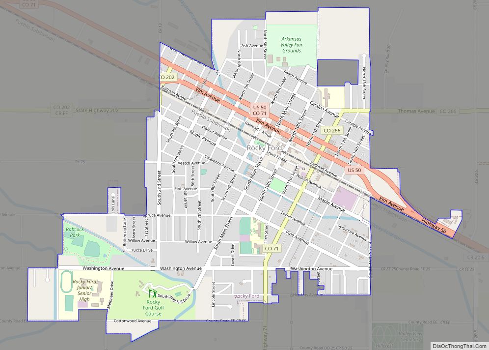
Rocky Ford is a statutory city located in Otero County, Colorado, United States. The population was 3,876 at the 2020 census. The community was named for a rocky ford across the Arkansas River near the original town site. Rocky Ford city overview: Name: Rocky Ford city LSAD Code: 25 LSAD Description: city (suffix) State: Colorado ... Read more
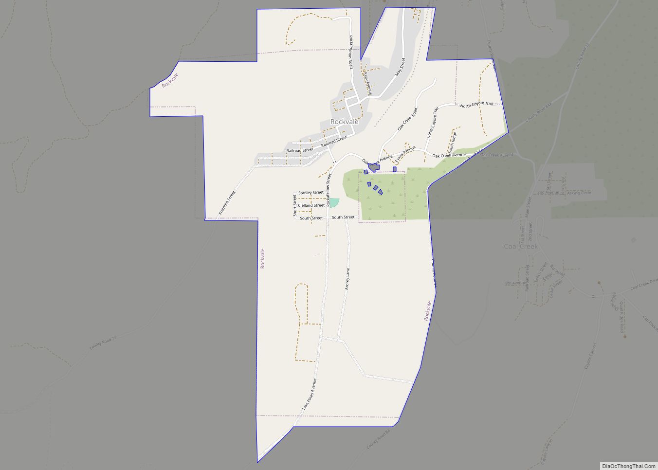
Rockvale is a statutory town in Fremont County, Colorado, United States. The population was 511 at the 2020 census. Rockvale town overview: Name: Rockvale town LSAD Code: 43 LSAD Description: town (suffix) State: Colorado County: Fremont County Elevation: 5,463 ft (1,665 m) Total Area: 2.04 sq mi (5.28 km²) Land Area: 2.04 sq mi (5.28 km²) Water Area: 0.00 sq mi (0.00 km²) Total Population: 511 ... Read more
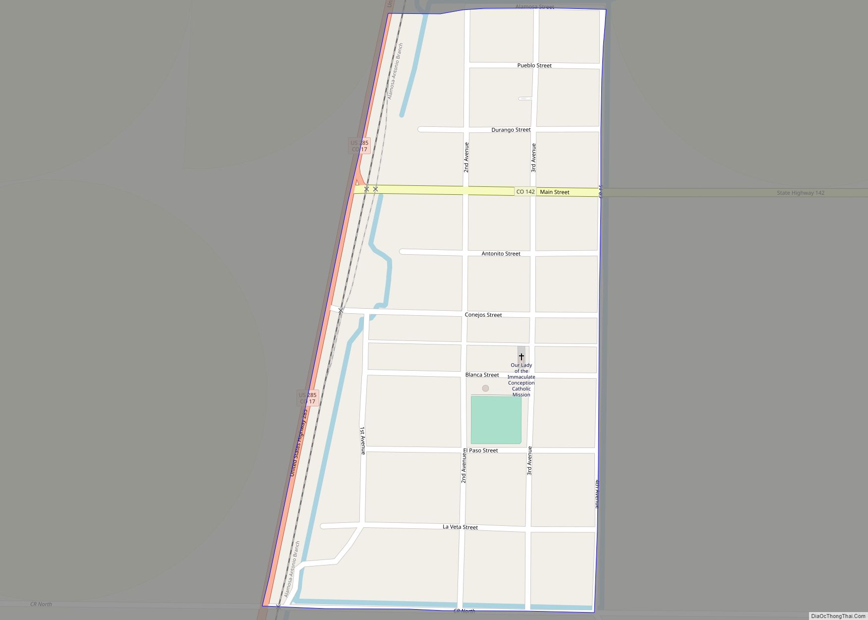
Romeo is a Statutory Town in Conejos County, Colorado, United States. The population was 302 at the 2020 census. A post office called Romeo was established in 1901. The community derives its name from the surname Romero. Romeo town overview: Name: Romeo town LSAD Code: 43 LSAD Description: town (suffix) State: Colorado County: Conejos County ... Read more
