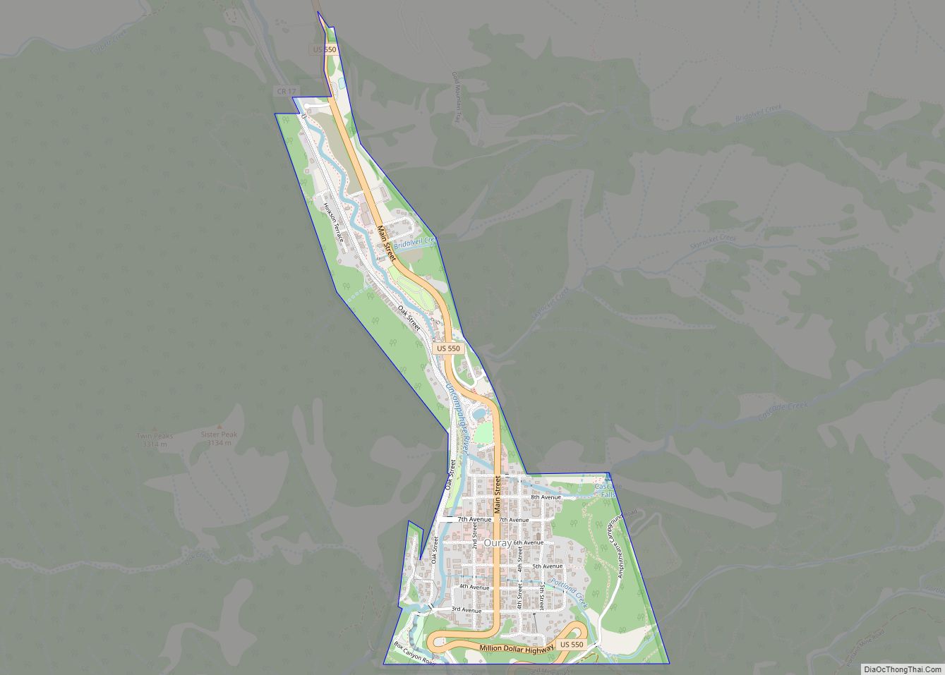
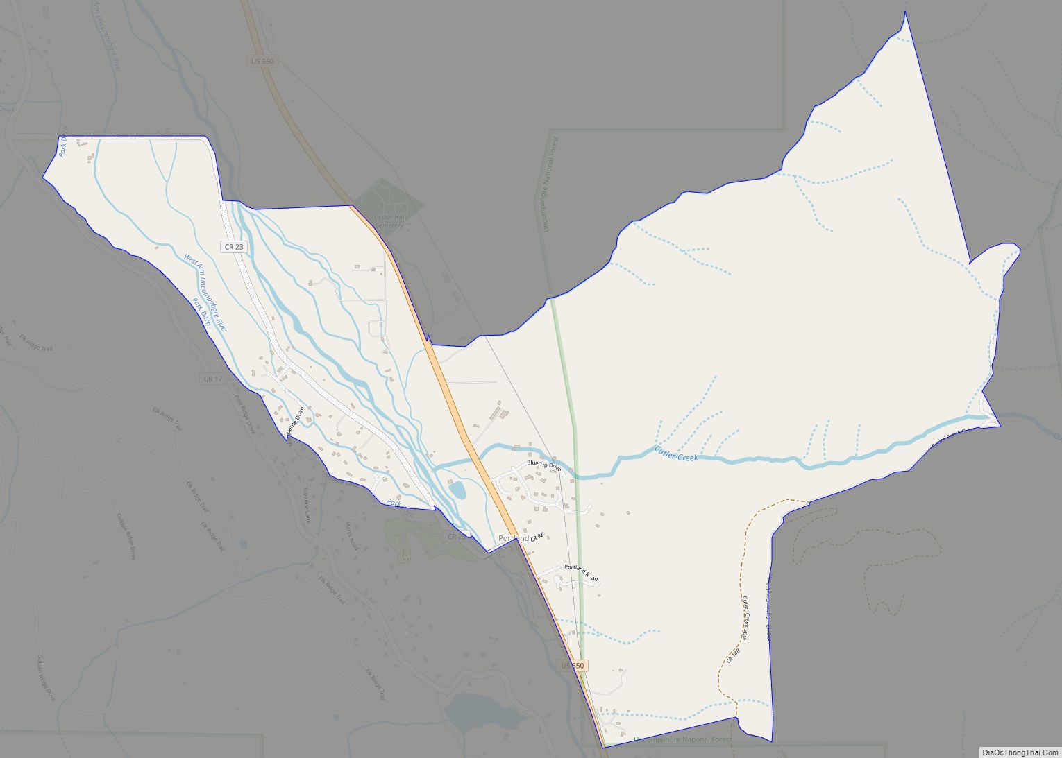
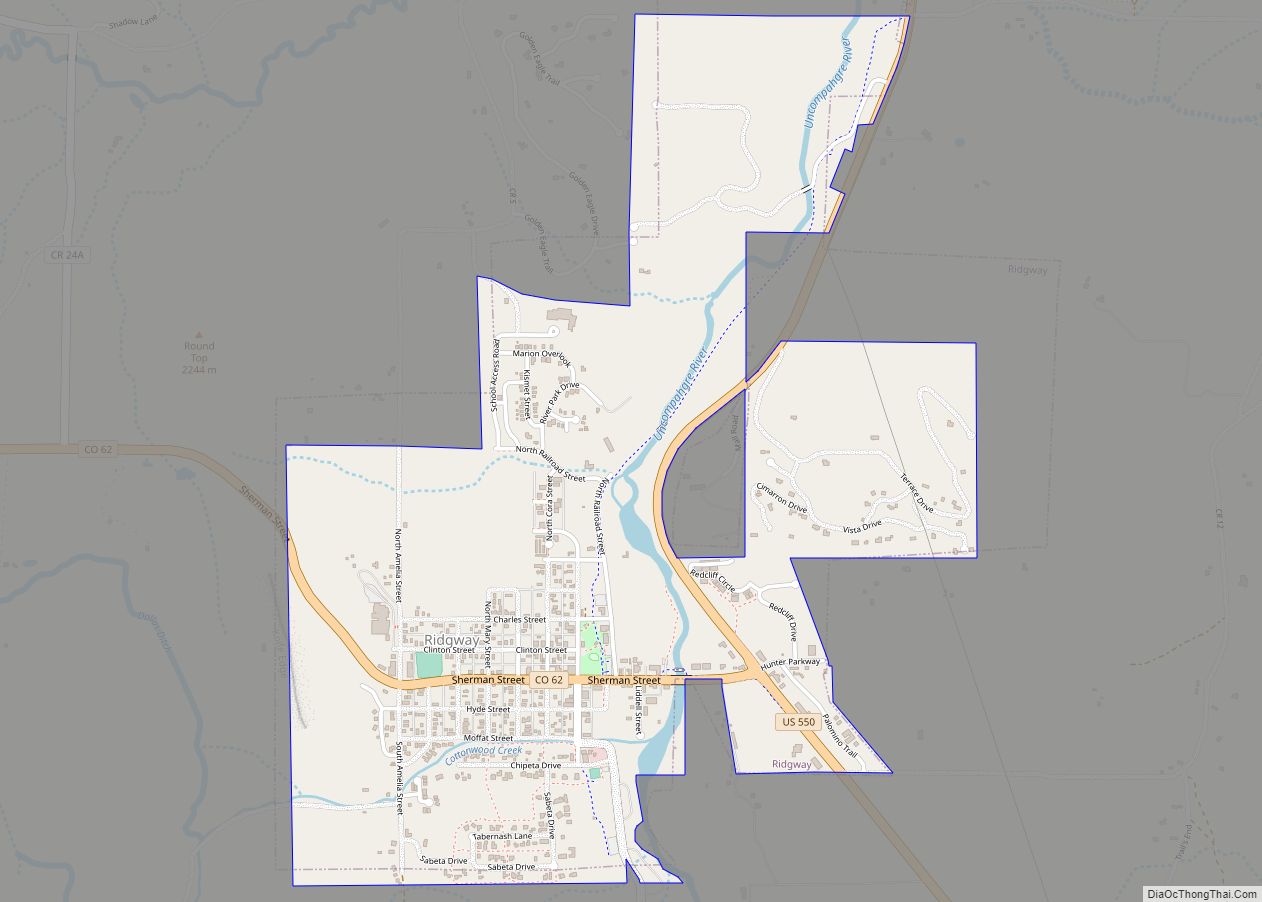
The Town of Ridgway is the home rule municipality that is the most populous municipality in Ouray County, Colorado, United States. The town is a former railroad stop on the Uncompahgre River in the northern San Juan Mountains. The town population was 1,183 at the 2020 census.
Steep forested mountains and cliffs surround Ridgway on the south, east, and northeast. The Uncompahgre River runs through the town and flows into the Ridgway State Park and Reservoir, to the north. Dallas Creek also flows from the south-west and forms a confluence with the Uncompahgre before entering the reservoir. There is a notable wildlife presence — mountain lions, badgers, deer, elk, bears, coyotes, wild turkey, and bald eagles are indigenous to the area. The region’s bald eagles nest in the cottonwoods along the river and are a common sight in the late fall.
Ridgway and the surrounding area have featured prominently in pop culture. Most notably the area is the setting of John Wayne’s western movie True Grit, and others including How the West Was Won and Tribute to a Bad Man. Ridgway has the only stoplight in Ouray County, at the intersection of Highways 550 and 62.
| Name: | Ridgway town |
|---|---|
| LSAD Code: | 43 |
| LSAD Description: | town (suffix) |
| State: | Colorado |
| County: | Ouray County |
| Elevation: | 7,048 ft (2,148 m) |
| Total Area: | 1.85 sq mi (4.79 km²) |
| Land Area: | 1.85 sq mi (4.79 km²) |
| Water Area: | 0.00 sq mi (0.00 km²) |
| Total Population: | 1,183 |
| Population Density: | 640/sq mi (250/km²) |
| ZIP code: | 81432 |
| Area code: | 970 |
| FIPS code: | 0864200 |
| GNISfeature ID: | 0188398 |
Online Interactive Map
Click on ![]() to view map in "full screen" mode.
to view map in "full screen" mode.
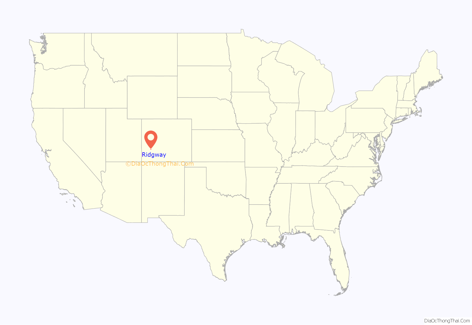
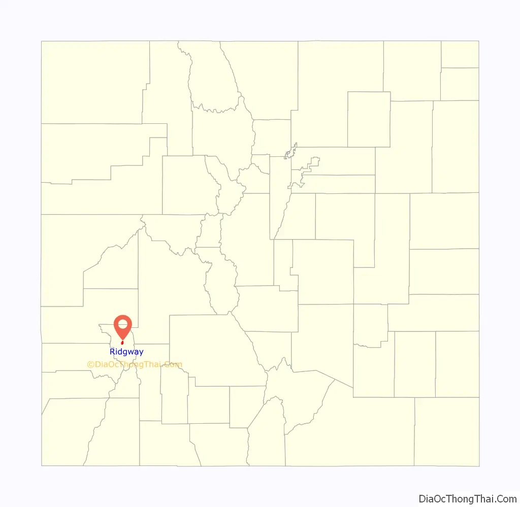
Ridgway location map. Where is Ridgway town?
History
Ridgway began as a railroad town, serving the nearby mining towns of Telluride and Ouray.
The town site is at the northern terminus of the Rio Grande Southern Railroad where it meets with Denver and Rio Grande Western Railroad running between Montrose and Ouray. Ridgway was located about 3 miles (4.8 km) south of the existing town of Dallas. Articles of incorporation were filed on May 22, 1890 and granted on March 4, 1891. This “Gateway to the San Juans” position was recognized over 100 years ago when the Rio Grande Southern established Ridgway as a railhead center servicing the nearby mining towns of Ouray and Telluride. The town was named for Denver and Rio Grande railroad superintendent Robert M. Ridgway, who established the town in 1891.
The Rio Grande Southern filed for abandonment on April 24, 1952 and the Denver and Rio Grande Western abandoned the line between Ridgway and Ouray on March 21, 1953. The line between Ridgway and Montrose was upgraded from narrow gauge to standard gauge and Ridgway continued to be a shipping point until the line to Montrose was abandoned in 1976 as result of a reservoir being built on the Uncompahgre River.
The dam for that reservoir, the Ridgway Dam, was proposed in 1957 as part of the U.S. Bureau of Reclamation’s Dallas Creek Project, and its original location would have inundated Ridgway. A 1975 decision to put the dam further downstream kept the town above-water, and residents coined their own nickname, “The Town that Refused to Die.” Land around the reservoir became the Ridgway State Park north of town limits. Ridgway is nationally recognized for being “Mavericks”.
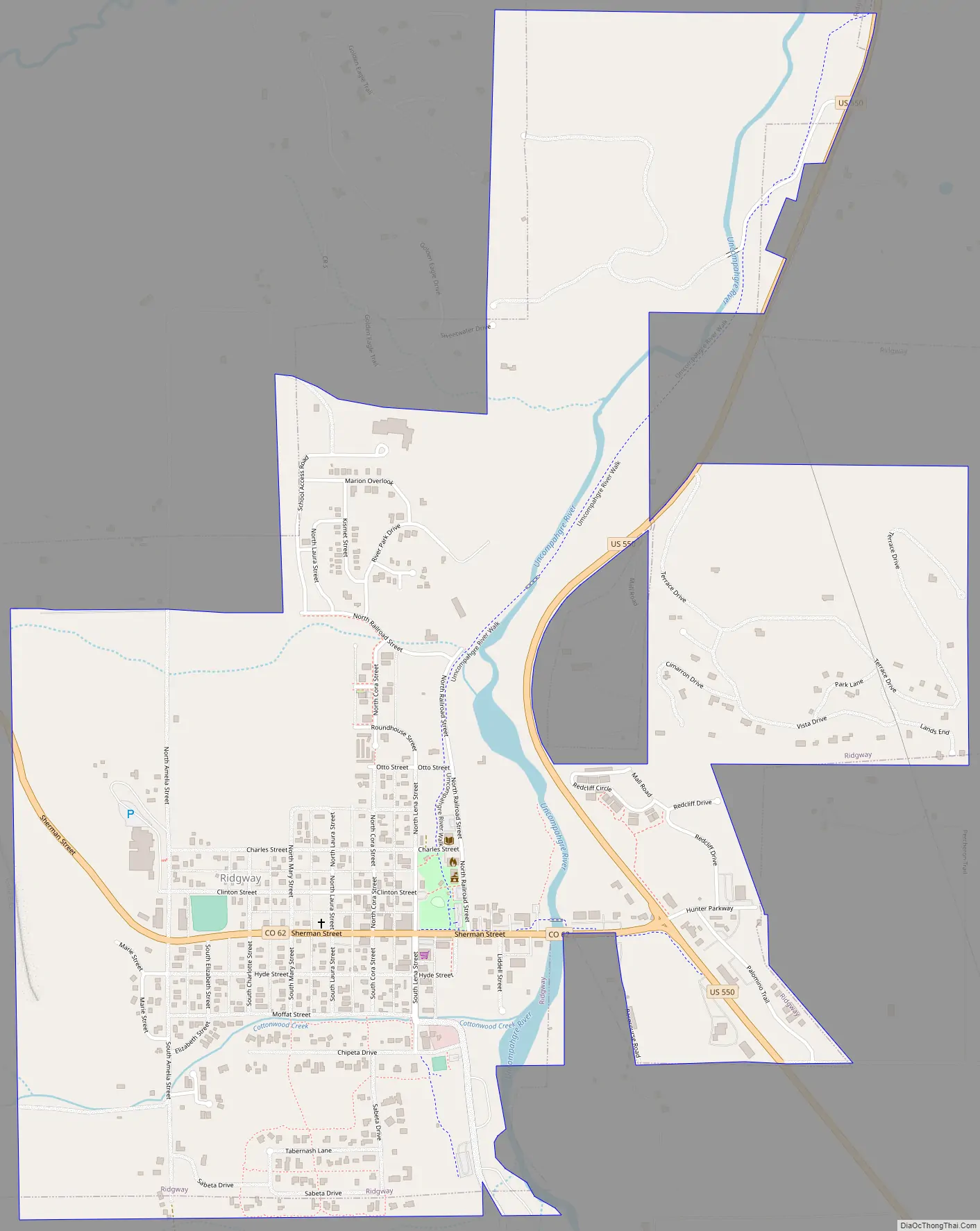
Ridgway Road Map
Ridgway city Satellite Map
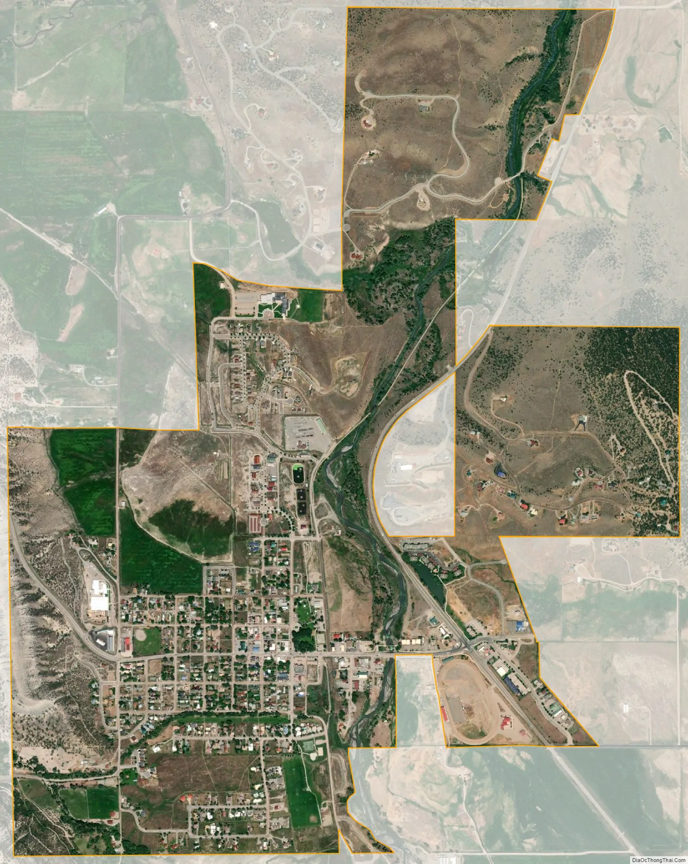
Geography
Ridgway is situated in the Uncompahgre Valley at an elevation of 7,048 feet (2,148 m). The town is located on the San Juan Skyway, cradled in the heart of some of the most photographed mountains in the world. The nearby San Juan Mountain Range has 14 of Colorado’s 53 peaks over 14,000 feet. Among them, 14,150 feet (4,310 m) Mt. Sneffels is most prominent from Ridgway. The eponymous Mt. Ridgway, 13,468 feet (4,105 m) in height, is also nearby, 4.5 miles (7.2 km) west of Ouray. To the east of the town also lies the smaller but equally-grand Cimarron Range, with Uncompahgre Peak at 14,309 feet (4,361 m).
The Uncompahgre River flows from Lake Como at 12,215 feet (3,723 m) in northern San Juan County, in the Uncompahgre National Forest in the northwestern San Juan Mountains is the headwaters of the river. It flows northwest past Ouray, Ridgway, Montrose, and Olathe and joins the Gunnison at Confluence Park in Delta. The river forms Poughkeepsie Gulch and the Uncompahgre Gorge. The major tributaries are all creeks draining the northwest San Juan Mountains. There are two dams on the Uncompahgre River, a small diversion dam in the Uncompahgre Gorge, and Ridgway Dam below Ridgway, which forms Ridgway Reservoir.
The river is used for irrigation in the Uncompahgre Valley. The Uncompahgre is unnavigable, except at high water. The name given to the river comes from the Ute word Uncompaghre, which loosely translates to “dirty water” or “red water spring” and is likely a reference to the many hot springs in the vicinity of Ouray. Lake Otonawanda is the primary source of Ridgway’s municipal water.
Climate
Ridgway has a humid continental climate (Koppen: Dfb) with four distinct seasons. Summers are usually warm to hot while winter days are cold with nighttime temperatures dropping close to zero. Annual snowfall is heavy, averaging 85 inches (216 cm).
See also
Map of Colorado State and its subdivision:- Adams
- Alamosa
- Arapahoe
- Archuleta
- Baca
- Bent
- Boulder
- Broomfield
- Chaffee
- Cheyenne
- Clear Creek
- Conejos
- Costilla
- Crowley
- Custer
- Delta
- Denver
- Dolores
- Douglas
- Eagle
- El Paso
- Elbert
- Fremont
- Garfield
- Gilpin
- Grand
- Gunnison
- Hinsdale
- Huerfano
- Jackson
- Jefferson
- Kiowa
- Kit Carson
- La Plata
- Lake
- Larimer
- Las Animas
- Lincoln
- Logan
- Mesa
- Mineral
- Moffat
- Montezuma
- Montrose
- Morgan
- Otero
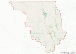
- Ouray
- Park
- Phillips
- Pitkin
- Prowers
- Pueblo
- Rio Blanco
- Rio Grande
- Routt
- Saguache
- San Juan
- San Miguel
- Sedgwick
- Summit
- Teller
- Washington
- Weld
- Yuma
- Alabama
- Alaska
- Arizona
- Arkansas
- California
- Colorado
- Connecticut
- Delaware
- District of Columbia
- Florida
- Georgia
- Hawaii
- Idaho
- Illinois
- Indiana
- Iowa
- Kansas
- Kentucky
- Louisiana
- Maine
- Maryland
- Massachusetts
- Michigan
- Minnesota
- Mississippi
- Missouri
- Montana
- Nebraska
- Nevada
- New Hampshire
- New Jersey
- New Mexico
- New York
- North Carolina
- North Dakota
- Ohio
- Oklahoma
- Oregon
- Pennsylvania
- Rhode Island
- South Carolina
- South Dakota
- Tennessee
- Texas
- Utah
- Vermont
- Virginia
- Washington
- West Virginia
- Wisconsin
- Wyoming