Rifle is a home rule municipality in and the most populous community of Garfield County, Colorado, United States. The population was 10,437 at the 2020 census. Rifle is a regional center of the cattle ranching industry located along Interstate 70 and the Colorado River just east of the Roan Plateau, which dominates the western skyline of the town. The town was founded in 1882 by Abram Maxfield, and was incorporated in 1905 along Rifle Creek, near its mouth on the Colorado. The community takes its name from the creek.
| Name: | Rifle city |
|---|---|
| LSAD Code: | 25 |
| LSAD Description: | city (suffix) |
| State: | Colorado |
| County: | Garfield County |
| Founded: | 1882 |
| Incorporated: | August 18, 1905 |
| Elevation: | 5,348 ft (1,630 m) |
| Total Area: | 7.15 sq mi (18.53 km²) |
| Land Area: | 7.03 sq mi (18.22 km²) |
| Water Area: | 0.12 sq mi (0.31 km²) |
| Total Population: | 10,437 |
| Population Density: | 1,379.87/sq mi (532.75/km²) |
| ZIP code: | 81650 |
| Area code: | 970 |
| FIPS code: | 0864255 |
| Website: | www.rifleco.org |
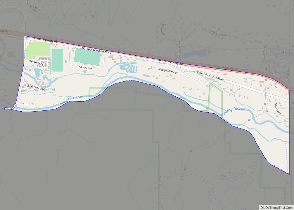
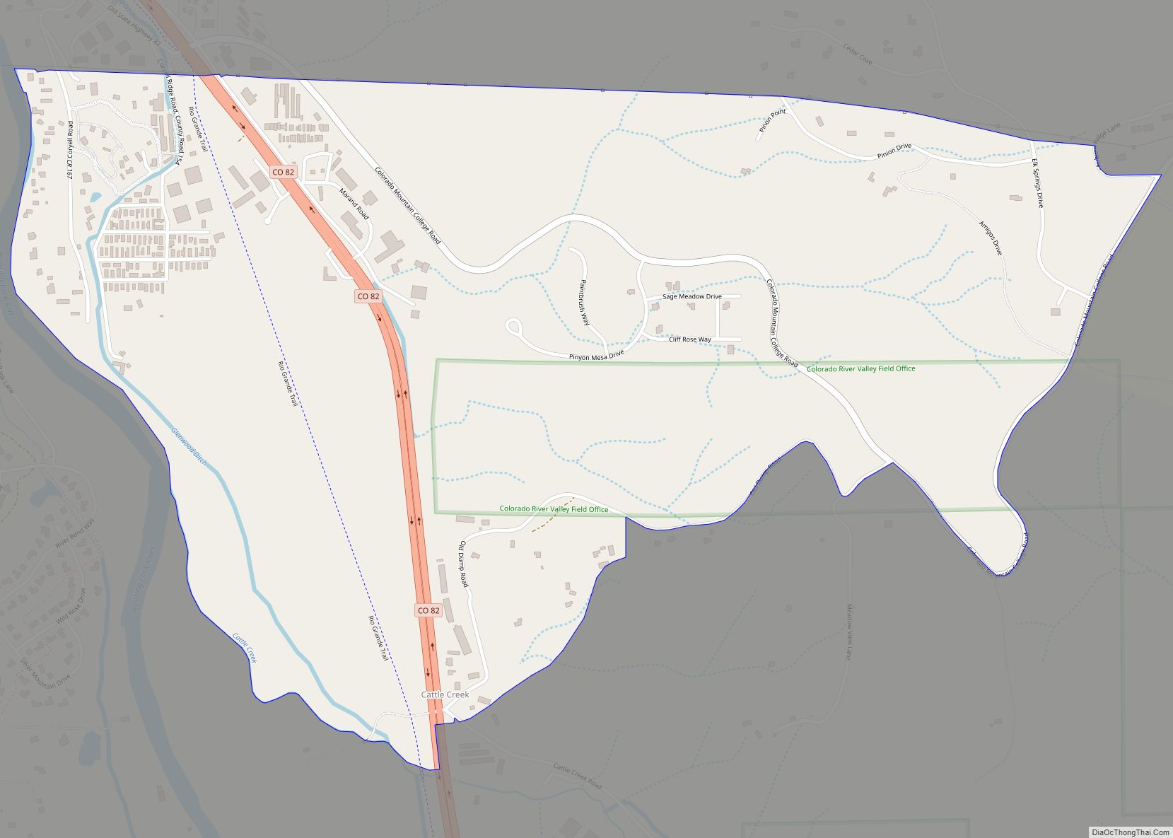
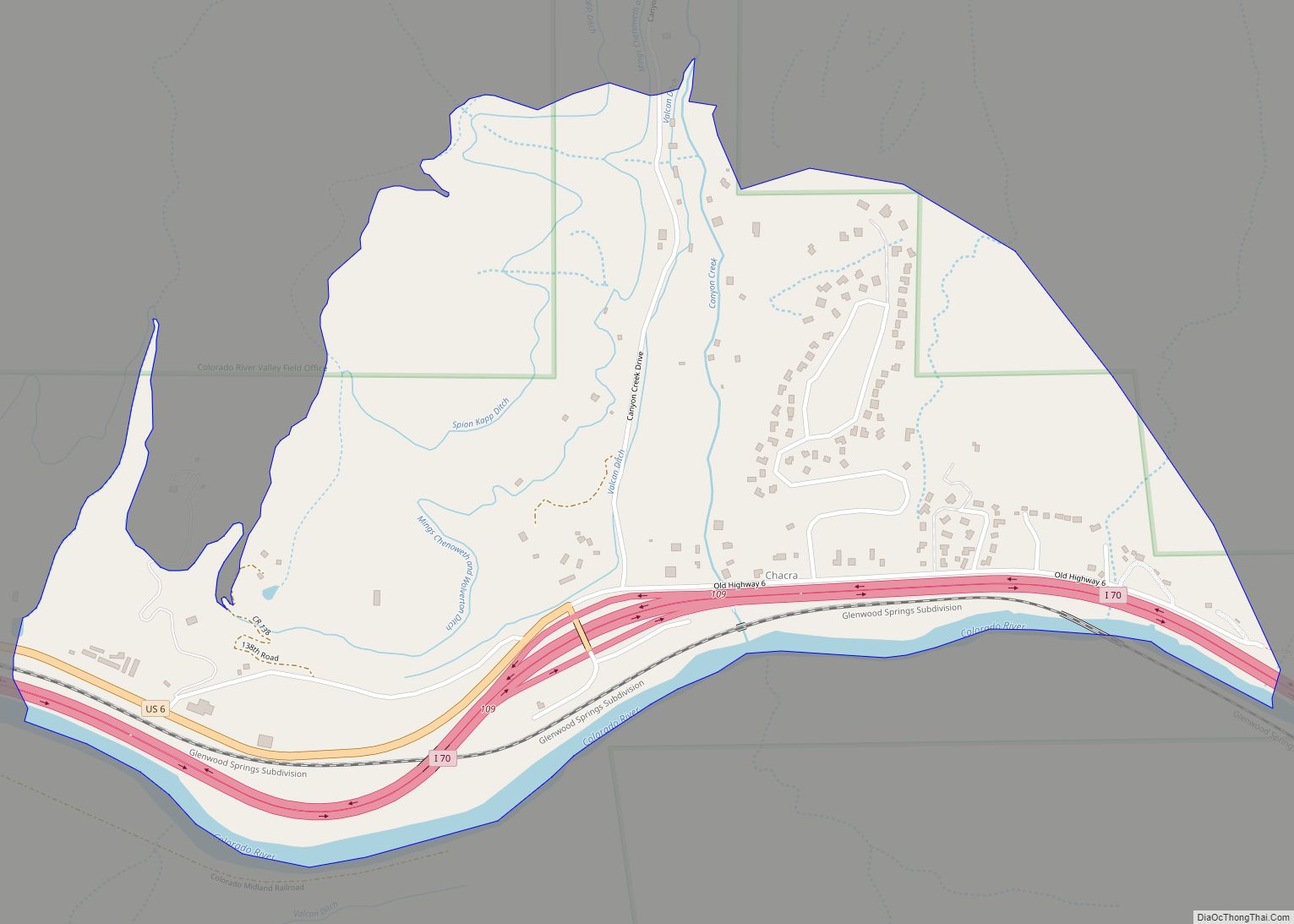
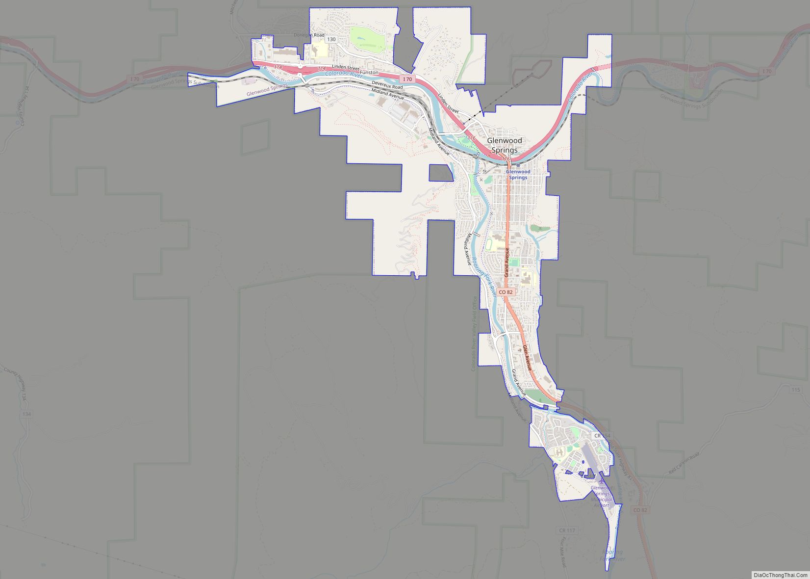
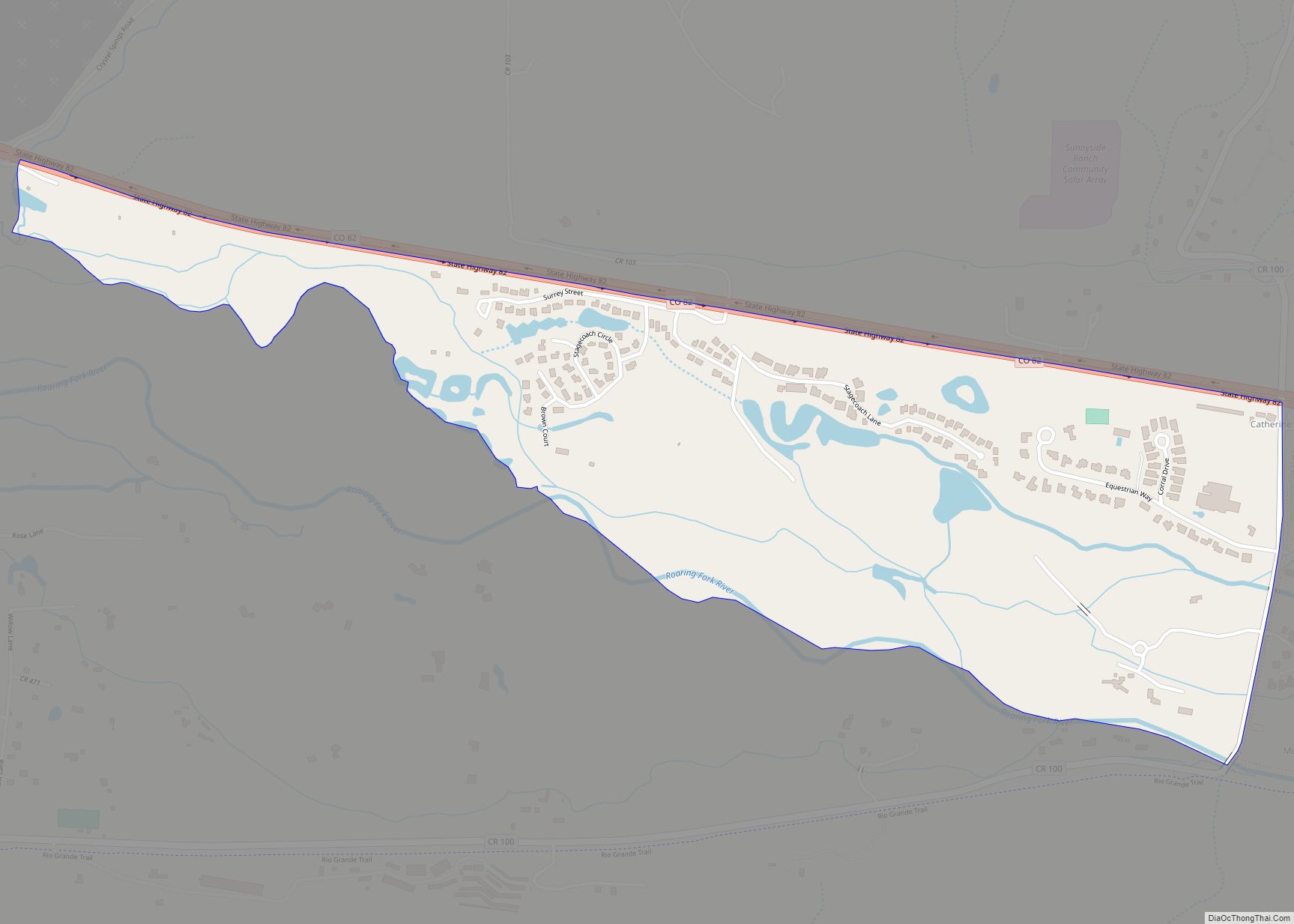
Online Interactive Map
Click on ![]() to view map in "full screen" mode.
to view map in "full screen" mode.
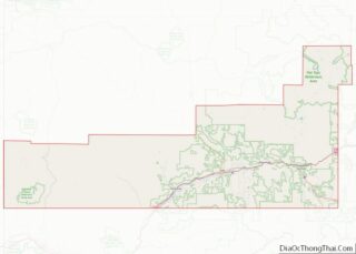
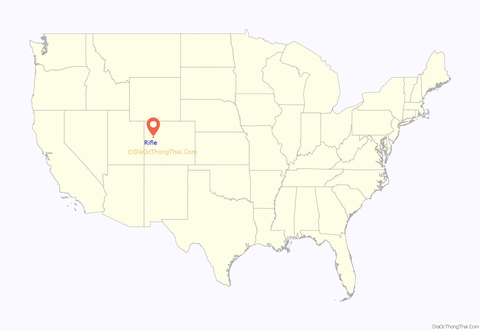
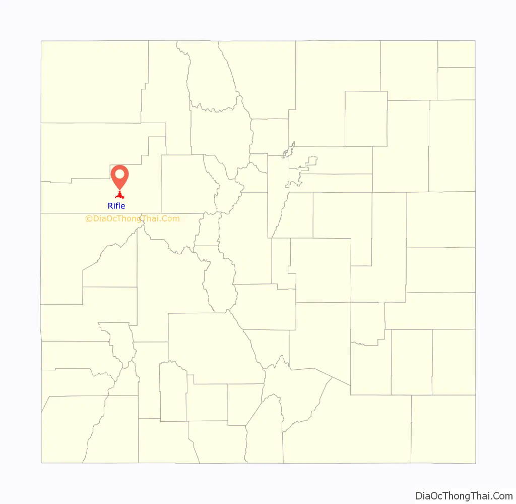
Rifle location map. Where is Rifle city?
History
The land that Rifle resides on was once in the heart of the Ute Nation, a classification of the Indigenous peoples of the Great Basin. The most common tribe in the area were the Tabagauche, who hunted and lived on the land slightly to the east of Rifle in the Roaring Fork Valley. Due to their location, the Tabagauche were somewhat less exposed to white settlers, and to some extent their ways remained less altered than other native peoples. In 1878 Nathan Meeker was appointed as the director of the White River Ute Agency (the town of Meeker 40 miles north of Rifle was named after him). Meeker had no training or knowledge of Ute culture, and launched into a campaign centered on sedentary agriculture and European-American schooling. As this clashed with the culture of the nomadic Utes, he was met with resistance. It all came to a head when Meeker had the pasture and racetrack for the Ute’s horses plowed under. The event that followed is known as the Meeker Massacre in 1879, during which Meeker and his 10 employees were killed. The aftermath of the conflict resulted in nearly all members of the Ute nation being forcibly removed from Colorado into eastern Utah, although the federal government had formerly guaranteed them the land on which they were residing.
Rifle became more and more settled as the 19th century gave way to the 20th. In 1889, the railroad cut through from the east and ended in Rifle for a while before connecting lines were completed. This opened up the floodgates for new travelers, settlers, and trade. Long drives of cattle over the mountains towards the Front Range and Denver became a thing of the past. Rifle was now a thriving hub for commerce. If it needed to be shipped east to a buyer’s market, or shipped west into ranching country, it came through town.
The first major economy known to Rifle was ranching. The land surrounding the town was arid, and much of it was unsuitable for farming without irrigation. Despite the large stretches of land available, tension arose and manifested between those who tended cattle and those who herded sheep. Good grazing practices were not in place, and the summer pastures at the top of the Roan Plateau were contested over. One rancher lost two-thirds of his flock and went bankrupt when competing cowboys drove the sheep over the cliff.
Rifle is located in the east portion of the Piceance Basin. The basin is home to different forms of fossil fuels, the largest quantity of which is oil shale. The unreliability of this fossil fuel has left the city in the throes of a cycling boom and bust economy.
As of 2007, an organization called the Campaign to Save Roan Plateau has been engaged in an effort to minimize oil and gas drilling on the top of the Roan Plateau, which locals call the Bookcliffs. The Roan Plateau is accessible from the JQS Trail, located 3 miles (5 km) north of Rifle, or from the Piceance Creek road.
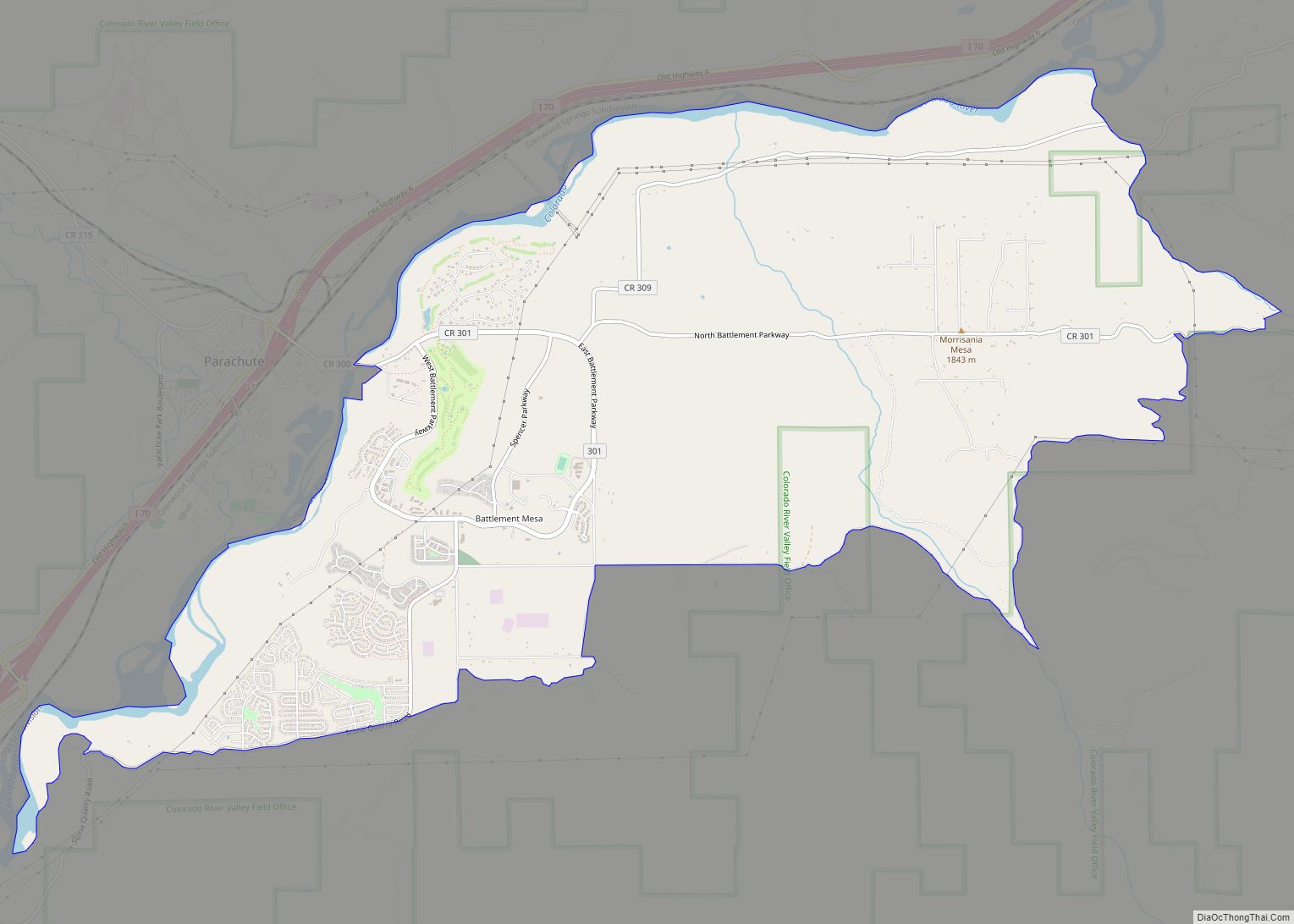
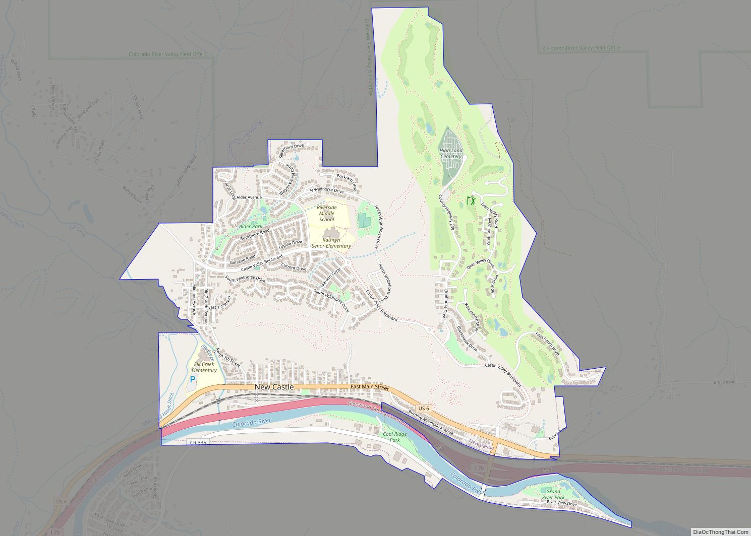
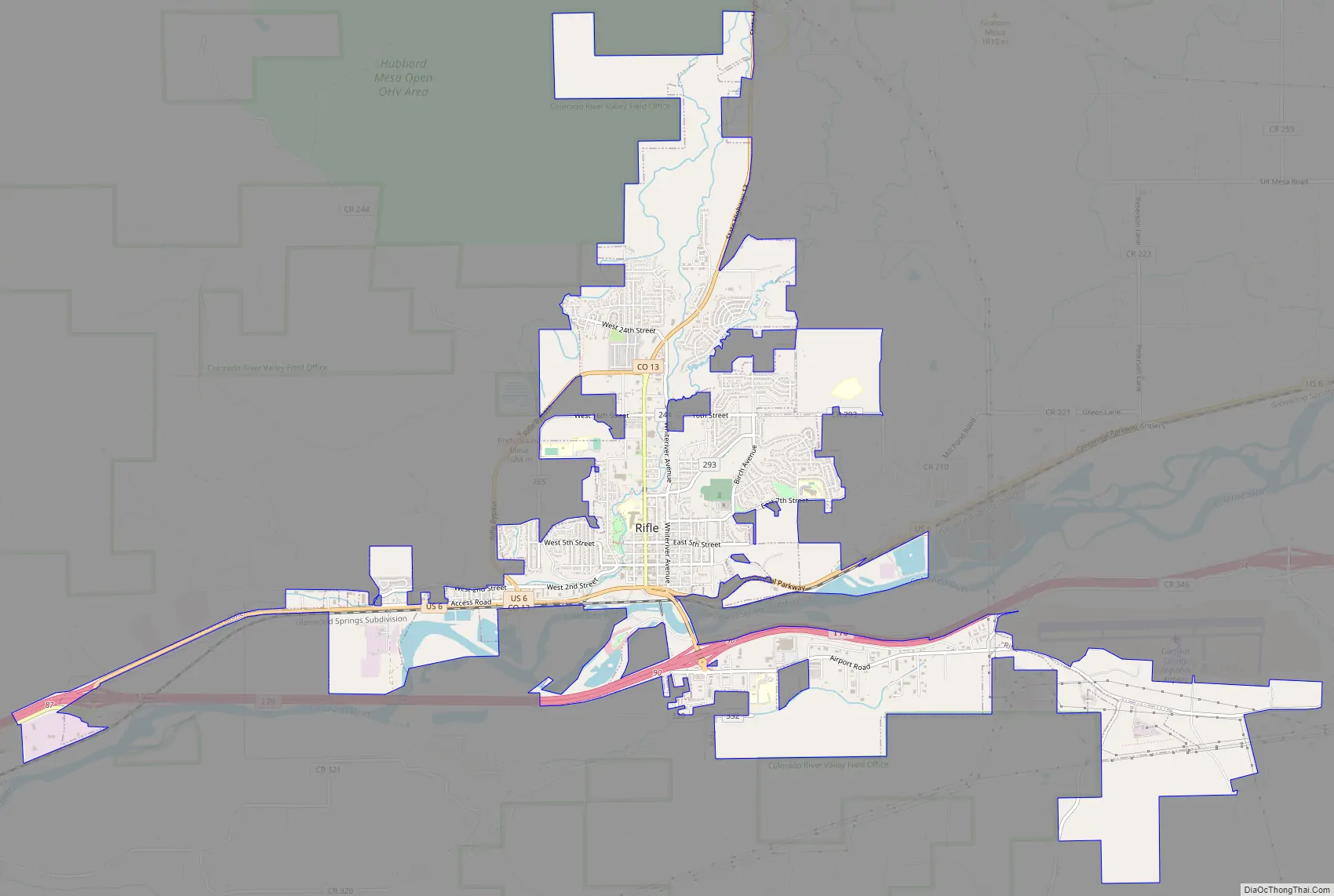
Rifle Road Map
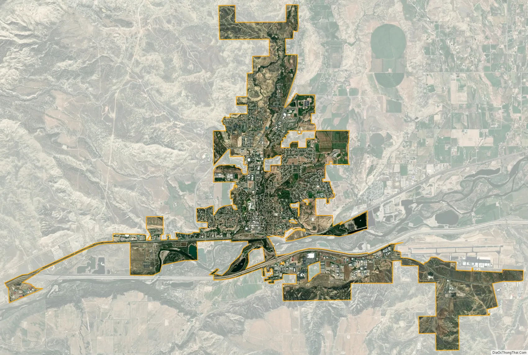
Rifle city Satellite Map
Geography
Rifle is located in the valley of the Colorado River where Rifle Creek joins from the north. Most of the city is on the north side of the river, but there is some city land to the south. Interstate 70 passes through the city along the south side of the river, with access from Exit 90. I-70 leads east 26 miles (42 km) to Glenwood Springs, the Garfield County seat, and southwest 60 miles (97 km) to Grand Junction. U.S. Route 6 runs along the north side of the Colorado River through Rifle, providing a local parallel route to I-70. Colorado State Highway 13 intersects I-70 and US-6, passing through the southern and western parts of Rifle, then leading north 41 miles (66 km) to Meeker.
According to the United States Census Bureau, the city of Rifle has a total area of 5.7 square miles (14.7 km), of which 5.6 square miles (14.5 km) is land and 0.1 square miles (0.2 km), or 1.18%, is water.
Climate
See also
Map of Colorado State and its subdivision:- Adams
- Alamosa
- Arapahoe
- Archuleta
- Baca
- Bent
- Boulder
- Broomfield
- Chaffee
- Cheyenne
- Clear Creek
- Conejos
- Costilla
- Crowley
- Custer
- Delta
- Denver
- Dolores
- Douglas
- Eagle
- El Paso
- Elbert
- Fremont
- Garfield
- Gilpin
- Grand
- Gunnison
- Hinsdale
- Huerfano
- Jackson
- Jefferson
- Kiowa
- Kit Carson
- La Plata
- Lake
- Larimer
- Las Animas
- Lincoln
- Logan
- Mesa
- Mineral
- Moffat
- Montezuma
- Montrose
- Morgan
- Otero
- Ouray
- Park
- Phillips
- Pitkin
- Prowers
- Pueblo
- Rio Blanco
- Rio Grande
- Routt
- Saguache
- San Juan
- San Miguel
- Sedgwick
- Summit
- Teller
- Washington
- Weld
- Yuma
- Alabama
- Alaska
- Arizona
- Arkansas
- California
- Colorado
- Connecticut
- Delaware
- District of Columbia
- Florida
- Georgia
- Hawaii
- Idaho
- Illinois
- Indiana
- Iowa
- Kansas
- Kentucky
- Louisiana
- Maine
- Maryland
- Massachusetts
- Michigan
- Minnesota
- Mississippi
- Missouri
- Montana
- Nebraska
- Nevada
- New Hampshire
- New Jersey
- New Mexico
- New York
- North Carolina
- North Dakota
- Ohio
- Oklahoma
- Oregon
- Pennsylvania
- Rhode Island
- South Carolina
- South Dakota
- Tennessee
- Texas
- Utah
- Vermont
- Virginia
- Washington
- West Virginia
- Wisconsin
- Wyoming