Map of Brooklyn CDP

Map of Brooklyn CDP, Connecticut

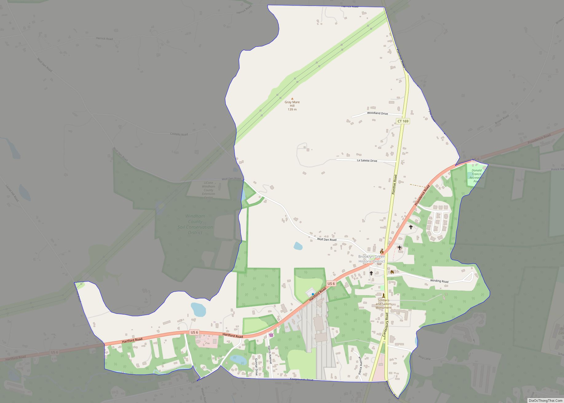
Brooklyn is a census-designated place (CDP) comprising the central unincorporated village in the town of Brooklyn in Windham County, Connecticut, United States. U.S. Route 6 passes through the center of the village, leading east to Danielson and west to Willimantic. As of the 2010 census, the population of the CDP was 981, out of 8,210 … Read more

Map of Broad Brook CDP

Map of Broad Brook CDP

Broad Brook is a neighborhood and census-designated place (CDP) in the town of East Windsor, Hartford County, Connecticut, United States. As of the 2010 census, the CDP population was 4,069. Broad Brook CDP overview: Name: Broad Brook CDP LSAD Code: 57 LSAD Description: CDP (suffix) State: Connecticut County: Hartford County Elevation: 130 ft (40 m) Total Area: … Read more

Map of Bristol city

Map of Bristol city, Connecticut

Bristol is a suburban city located in Hartford County, Connecticut, United States, 20 miles (32 km) southwest-west of Hartford. The city is also 120 miles southwest from Boston, and approximately 100 miles northeast of New York City. The city is part of the Naugatuck Valley Planning Region. As of the 2020 census, the population of the … Read more

Map of Cannondale CDP

Map of Cannondale CDP

Cannondale is a census-designated place (CDP) within the town of Wilton in Fairfield County, Connecticut. It had a population of 141 at the 2010 census. The neighborhood consists of many old homes on large, almost rural lots now largely wooded. The English first settled the land in the 17th century. At the center of Cannondale … Read more

Map of Canaan CDP

Map of Canaan CDP, Connecticut

Canaan is a village and census-designated place (CDP) within the town of North Canaan in Litchfield County, Connecticut, United States. Formerly known as Canaan Depot, the village is more commonly known as Canaan Village to distinguish it from the town of Canaan located to the south of North Canaan. The Canaan Village Historic District is … Read more

Map of Byram CDP

Map of Byram CDP, Connecticut

Byram is a neighborhood/section and census-designated place (CDP) in the town of Greenwich in Fairfield County, Connecticut, United States. It had a population of 4,146 at the 2010 census, and a census-estimated population of 4,216 in 2018. An endcap of Connecticut’s Gold Coast, Byram is the southernmost point in the town of Greenwich and the … Read more

Map of Chester Center CDP

Map of Chester Center CDP

Chester is a town in Middlesex County, Connecticut, United States. The town is part of the Lower Connecticut River Valley Planning Region. The population was 3,749 at the 2020 census. The town center is defined by the U.S. Census Bureau as a census-designated place (CDP). The name is a transfer from Chester, in England. Chester … Read more

Map of Cheshire Village CDP

Map of Cheshire Village CDP

Cheshire Village is a census-designated place (CDP) comprising the primary village and adjacent residential land in the town of Cheshire, New Haven County, Connecticut, United States. It is in the center of the town, surrounding the intersections of Connecticut Routes 10, 70, and 68. As of the 2010 census, the CDP had a population of … Read more

Map of Canton Valley CDP

Map of Canton Valley CDP

Canton Valley (commonly known simply as Canton) is a village and census-designated place (CDP) in the town of Canton in Hartford County, Connecticut, United States. The population was 1,580 at the 2010 census. As of the 2017 census the population was 1,489. Canton Valley CDP overview: Name: Canton Valley CDP LSAD Code: 57 LSAD Description: … Read more

Map of Collinsville CDP, Connecticut

Map of Collinsville CDP, Connecticut

Collinsville is a village and census-designated place (CDP) in the town of Canton, Hartford County, Connecticut, United States. The population was 3,746 at the 2010 census. The central portion of the village is a historic district listed on the National Register of Historic Places. It was built around the Collins Company Axe Factory, a manufacturer … Read more

Map of Colchester CDP

Map of Colchester CDP, Connecticut

Colchester is a census-designated place (CDP) comprising the primary village and adjacent residential land in the town of Colchester, New London County, Connecticut, United States. It is in the east-central part of the town, with the Connecticut Route 2 expressway running through the south side of the community. As of the 2010 census, the CDP … Read more

Map of Clinton CDP, Connecticut

Map of Clinton CDP, Connecticut

Clinton is a census-designated place (CDP) comprising the primary village in the town of Clinton, Middlesex County, Connecticut, United States. It is in the southwest corner of the town, bordered to the west, across the Hammonasset River, by the town of Madison in New Haven County, to the north by Interstate 95, and to the … Read more