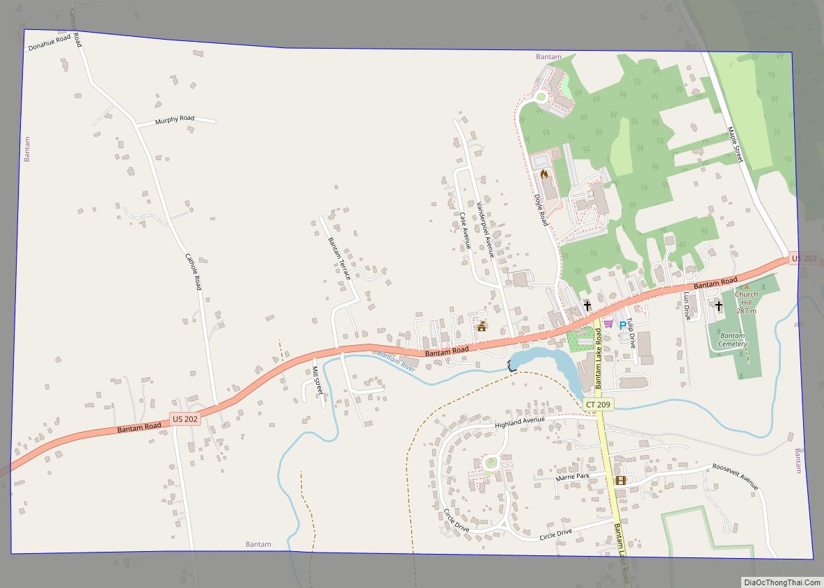
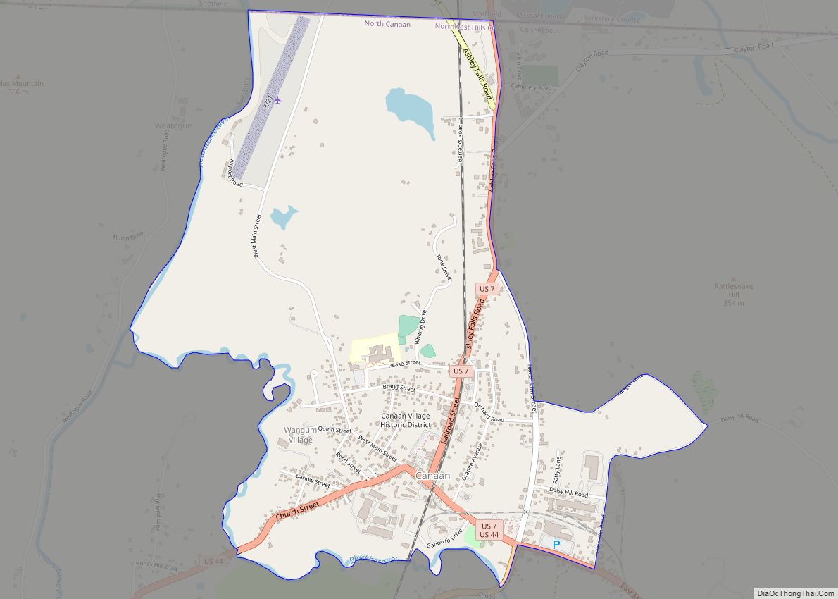
Canaan is a village and census-designated place (CDP) within the town of North Canaan in Litchfield County, Connecticut, United States. Formerly known as Canaan Depot, the village is more commonly known as Canaan Village to distinguish it from the town of Canaan located to the south of North Canaan. The Canaan Village Historic District is listed on the National Register of Historic Places. As of the 2010 census, the CDP had a population of 1,212, out of a total population of 3,315 in the town of North Canaan.
The historic district comprises about 93 acres (380,000 m), covering the central business district and surrounding residences of the village that preserve the period from the mid-19th to early 20th centuries. Canaan village developed as a regional commercial center, first by the construction of the north-south Housatonic Railroad, and then by the arrival of the east-west Connecticut Western Railroad. This junction made the village a major transit point for bringing the area’s commercial goods to market. The district includes the Canaan Union Depot, built in 1872 to serve the two railroads.
The Canaan Fire Company was established in 1911.
| Name: | Canaan CDP |
|---|---|
| LSAD Code: | 57 |
| LSAD Description: | CDP (suffix) |
| State: | Connecticut |
| County: | Litchfield County |
| FIPS code: | 0910870 |
Online Interactive Map
Click on ![]() to view map in "full screen" mode.
to view map in "full screen" mode.
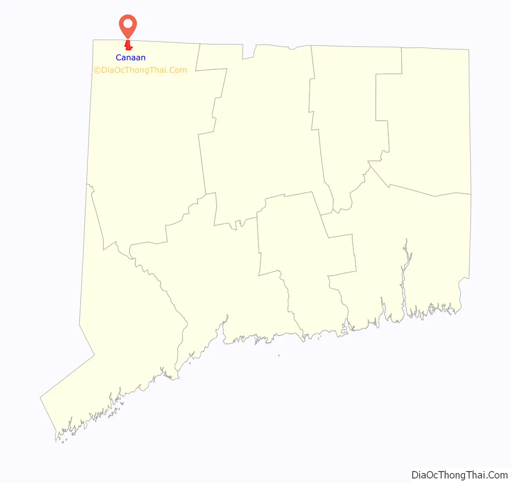
Canaan location map. Where is Canaan CDP?

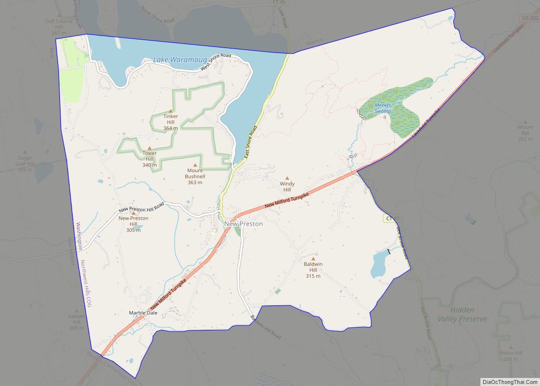
Canaan Road Map

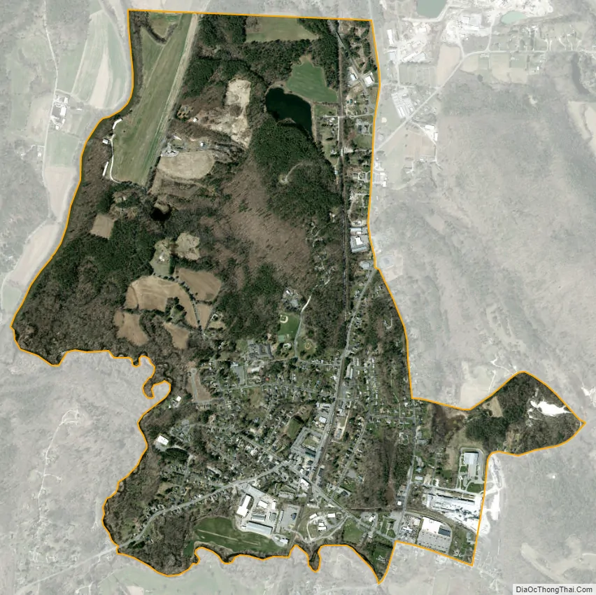
Canaan city Satellite Map
Geography
Canaan village is in the northwest corner of the town of North Canaan. The CDP is bordered to the west, across the Housatonic River, by the town of Salisbury, Connecticut, and to the north by the town of Sheffield in Berkshire County, Massachusetts. The Blackberry River, a tributary of the Housatonic, forms the southern edge of the CDP. The eastern border of the CDP follows (from north to south) U.S. Route 7 (Ashley Falls Road), North Elm Street, Granger Lane, Daisy Hill Road, Lime Kiln Road, East Main Street (U.S. Route 44), and Elm Street (US 7 south) to the Blackberry River.
According to the United States Census Bureau, the CDP has a total area of 1.7 square miles (4.5 km), with none of the area recorded as water.
See also
Map of Connecticut State and its subdivision: Map of other states:- Alabama
- Alaska
- Arizona
- Arkansas
- California
- Colorado
- Connecticut
- Delaware
- District of Columbia
- Florida
- Georgia
- Hawaii
- Idaho
- Illinois
- Indiana
- Iowa
- Kansas
- Kentucky
- Louisiana
- Maine
- Maryland
- Massachusetts
- Michigan
- Minnesota
- Mississippi
- Missouri
- Montana
- Nebraska
- Nevada
- New Hampshire
- New Jersey
- New Mexico
- New York
- North Carolina
- North Dakota
- Ohio
- Oklahoma
- Oregon
- Pennsylvania
- Rhode Island
- South Carolina
- South Dakota
- Tennessee
- Texas
- Utah
- Vermont
- Virginia
- Washington
- West Virginia
- Wisconsin
- Wyoming