Map of Titusville city

Map of Titusville city, Florida

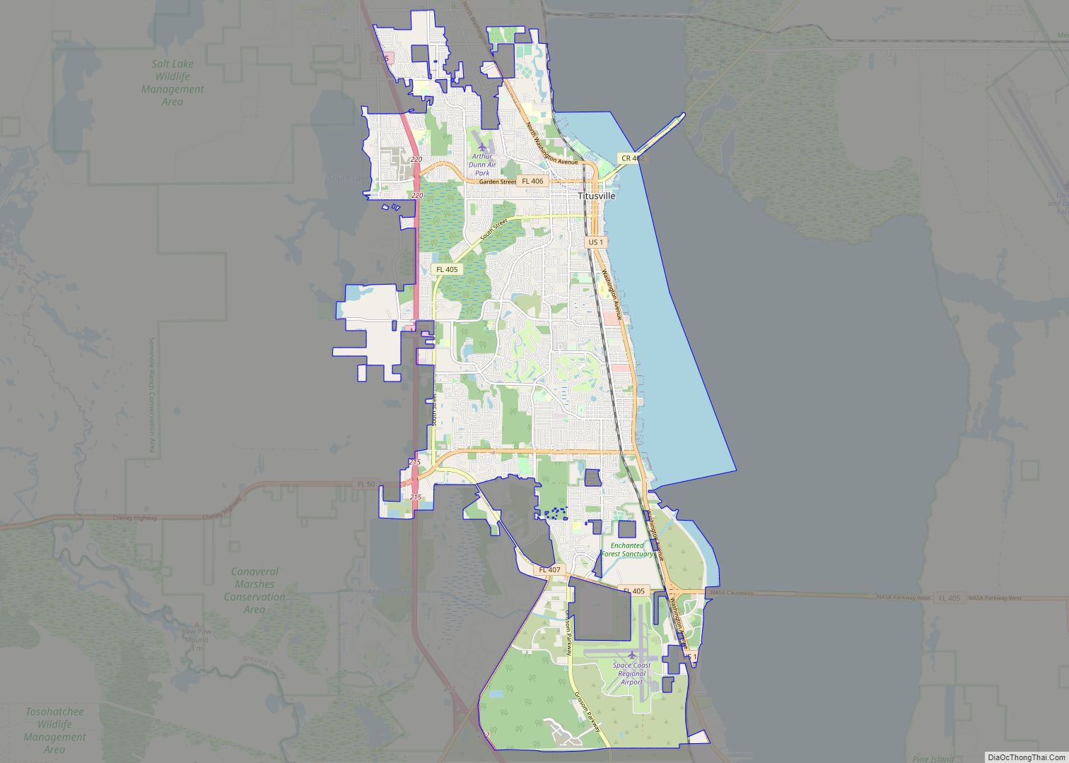
Titusville is a city in and the county seat of Brevard County, Florida, United States. The city’s population was 43,761 as of the 2010 United States Census. Titusville is located along the Indian River, west of Merritt Island and the Kennedy Space Center, and south-southwest of the Canaveral National Seashore. It is a principal city … Read more

Map of St. Augustine city

Map of St. Augustine city, Florida

St. Augustine city overview: Name: St. Augustine city LSAD Code: 25 LSAD Description: city (suffix) State: Florida County: St. Johns County Elevation: 0 ft (0 m) Land Area: 9.52 sq mi (24.66 km²) Water Area: 3.33 sq mi (8.63 km²) Population Density: 1,504.99/sq mi (581.05/km²) Area code: 904 FIPS code: 1262500 GNISfeature ID: 0308101 Website: City of St. Augustine Online Interactive Map St. Augustine … Read more

Map of Acacia Villas CDP

Map of Acacia Villas CDP

Acacia Villas CDP overview: Name: Acacia Villas CDP LSAD Code: 57 LSAD Description: CDP (suffix) State: Florida County: Palm Beach County FIPS code: 1200075 Online Interactive Map Acacia Villas online map. Source: Basemap layers from Google Map, Open Street Map (OSM), Arcgisonline, Wmflabs. Boundary Data from Database of Global Administrative Areas. Acacia Villas location map. … Read more

Map of Alford town

Map of Alford town

Alford is a town in Jackson County, Florida, United States. It is located in the Florida Panhandle near Marianna. The population was 489 at the 2010 census. Alford town overview: Name: Alford town LSAD Code: 43 LSAD Description: town (suffix) State: Florida County: Jackson County Elevation: 148 ft (45 m) Total Area: 1.07 sq mi (2.78 km²) Land Area: 1.05 sq mi … Read more

Map of Alafaya CDP

Map of Alafaya CDP

Alafaya is a census-designated place and unincorporated area in Orange County, Florida, United States. The population was 78,113 at the 2010 census. It is part of the Orlando–Kissimmee–Sanford, Florida Metropolitan Statistical Area. It is most known for being near the University of Central Florida and Waterford Lakes. Alafaya CDP overview: Name: Alafaya CDP LSAD Code: … Read more

Map of Alachua city

Map of Alachua city

Alachua (/əˈlætʃueɪ/ (listen) ə-LATCH-oo-ay) is the second-largest city in Alachua County, Florida and the third-largest in North Central Florida. According to the 2020 census, the city’s population was 10,574. The city is part of the Gainesville metropolitan area, which had a population of 339,247 in 2020. Alachua has one of the largest bio and life … Read more

Map of Altha town

Map of Altha town

Altha is a small town in Calhoun County, Florida, United States. The population was 536 at the 2010 census. This is an increase from 506 as of 2000. Altha was founded in 1902. Altha town overview: Name: Altha town LSAD Code: 43 LSAD Description: town (suffix) State: Florida County: Calhoun County Elevation: 203 ft (62 m) Total … Read more

Map of Altamonte Springs city

Map of Altamonte Springs city

Altamonte Springs is a suburban city in central Florida in Seminole County, Florida, United States, which had a population of 46,231 at the 2020 United States Census. The city is in the northern suburbs of the Orlando–Kissimmee–Sanford Metropolitan Statistical Area, which the United States Census Bureau estimated had a population of 2,054,574 in 2008. Dr. … Read more

Map of Allentown city

Map of Allentown CDP, Florida

Allentown is an unincorporated community and census-designated place in Santa Rosa County, Florida, United States. Its population was 894 as of the 2010 census. State Road 87 (SR 87), SR 89, and County Road 182 (CR 182) pass through the community. The intersection of CR 182 and SR 89 is typically referred by locals as … Read more

Map of Alva CDP

Map of Alva CDP, Florida

Alva is an unincorporated community and census-designated place (CDP) in Lee County, Florida, United States, situated on the Caloosahatchee River. The population was 2,725 at the 2020 census, up from 2,596 at the 2010 census. It is part of the Cape Coral-Fort Myers, Florida Metropolitan Statistical Area. Alva CDP overview: Name: Alva CDP LSAD Code: … Read more

Map of Alturas CDP, Florida

Map of Alturas CDP, Florida

Alturas is an unincorporated community and census-designated place in Polk County, Florida, United States. Its population was 4,084 as of the 2020 census. Alturas has a post office with ZIP code 33820. The main road that runs through Alturas is Polk County Road 665A, although Florida State Road 60 runs just north of the community. … Read more

Map of Altoona CDP, Florida

Map of Altoona CDP, Florida

Altoona is an unincorporated community and census-designated place (CDP) in Lake County, Florida, United States. The population was 89 at the 2010 census. It is part of the Orlando–Kissimmee–Sanford Metropolitan Statistical Area. Altoona CDP overview: Name: Altoona CDP LSAD Code: 57 LSAD Description: CDP (suffix) State: Florida County: Lake County Elevation: 98 ft (30 m) Total Area: … Read more