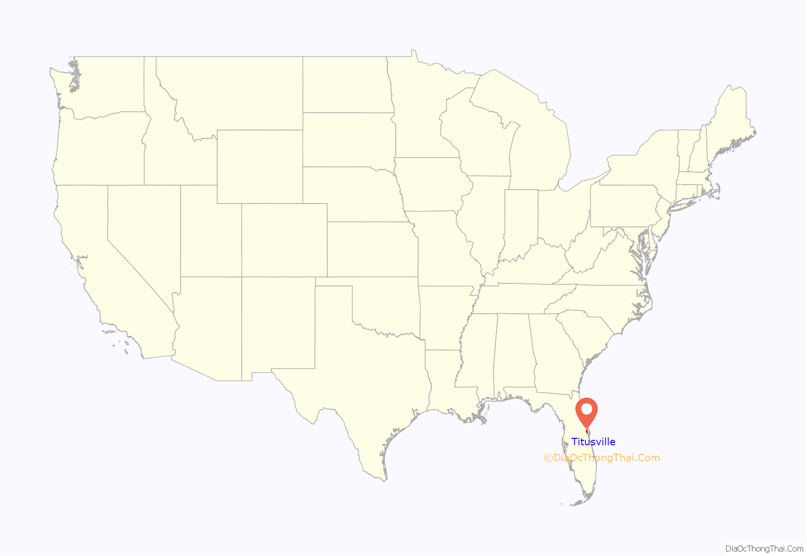
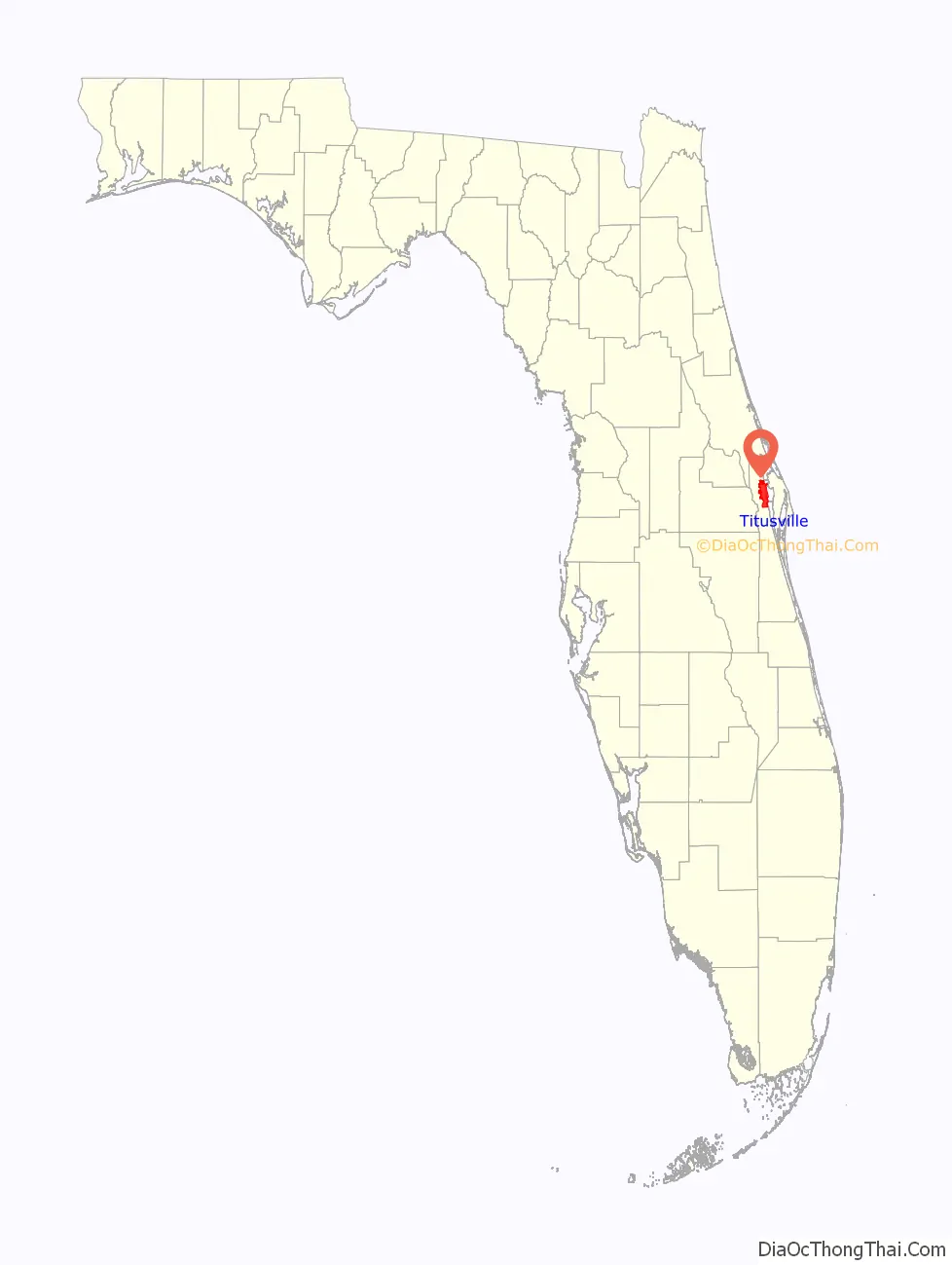
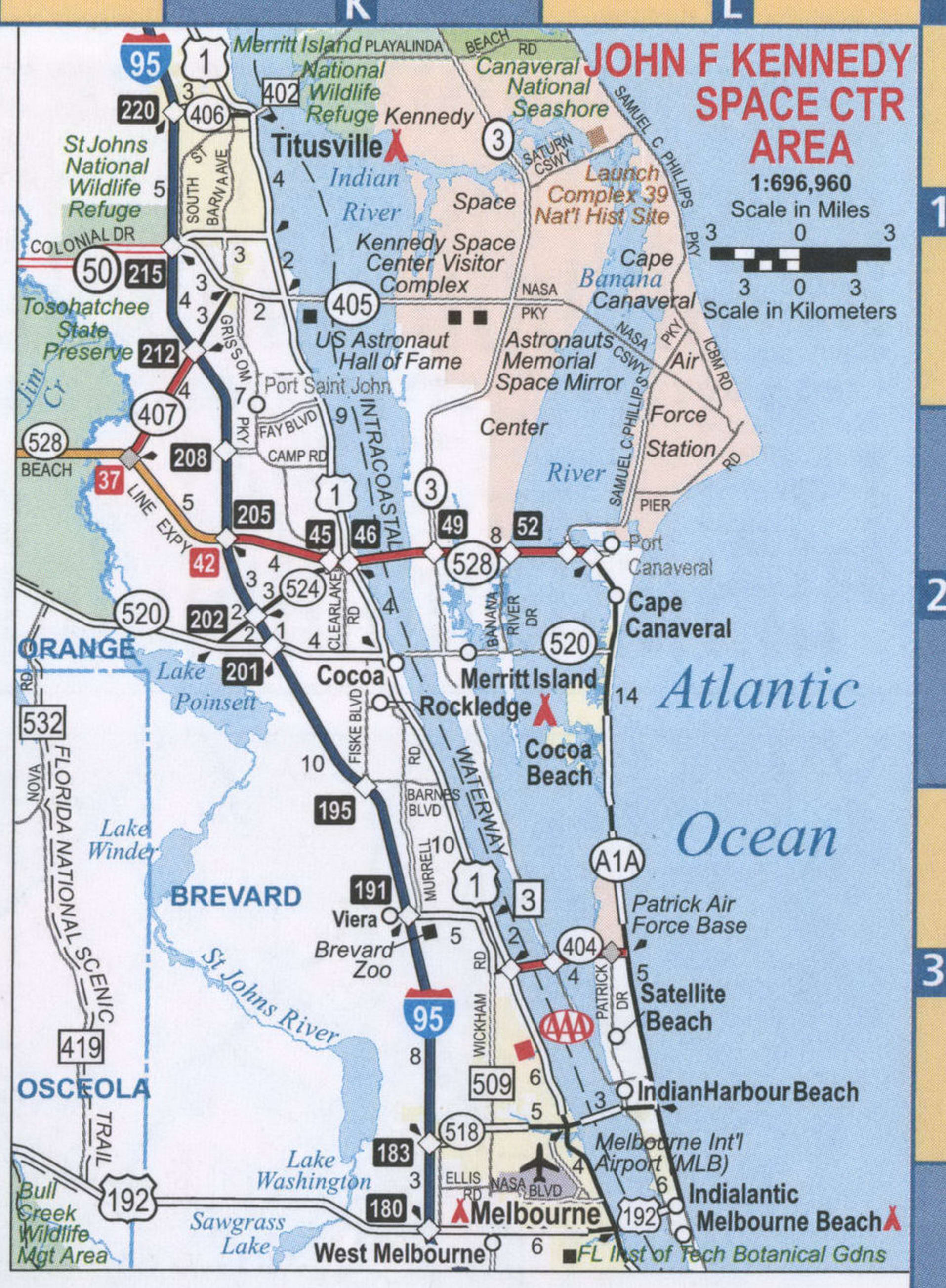
Titusville is a city in and the county seat of Brevard County, Florida, United States. The city’s population was 43,761 as of the 2010 United States Census. Titusville is located along the Indian River, west of Merritt Island and the Kennedy Space Center, and south-southwest of the Canaveral National Seashore. It is a principal city of the Palm Bay–Melbourne–Titusville Metropolitan Statistical Area.
Near Titusville is the Windover Archeological Site, a National Historic Landmark recognizing its important collection of human remains and artifacts of the early Archaic Period (6,000 to 5,000 BCE.)
A secondary, de facto county seat was established beginning in 1989 at Viera, Florida, in the geographic center of the county, to better serve the more populous southern portion of the county.
| Name: | Titusville city |
|---|---|
| LSAD Code: | 25 |
| LSAD Description: | city (suffix) |
| State: | Florida |
| County: | Brevard County |
| Founded: | 1867; 156 years ago (1867) |
| Elevation: | 10 ft (3 m) |
| Total Area: | 34.31 sq mi (88.87 km²) |
| Land Area: | 29.22 sq mi (75.69 km²) |
| Water Area: | 5.09 sq mi (13.18 km²) |
| Total Population: | 48,789 |
| Population Density: | 1,669.48/sq mi (644.59/km²) |
| ZIP code: | 32780, 32781, 32782, 32783, 32796 |
| Area code: | 321 |
| FIPS code: | 1271900 |
| GNISfeature ID: | 0292319 |
| Website: | titusville.com |
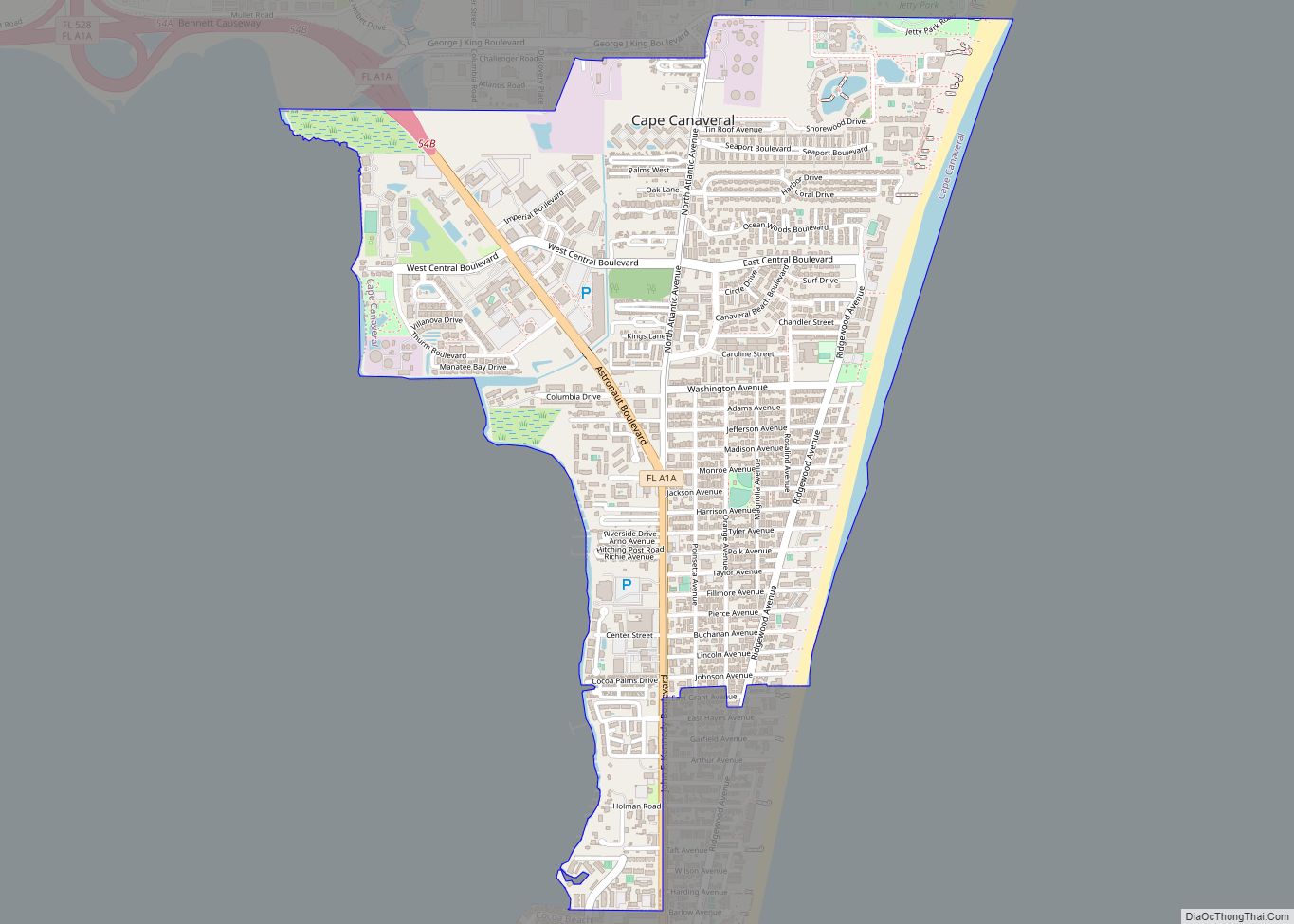
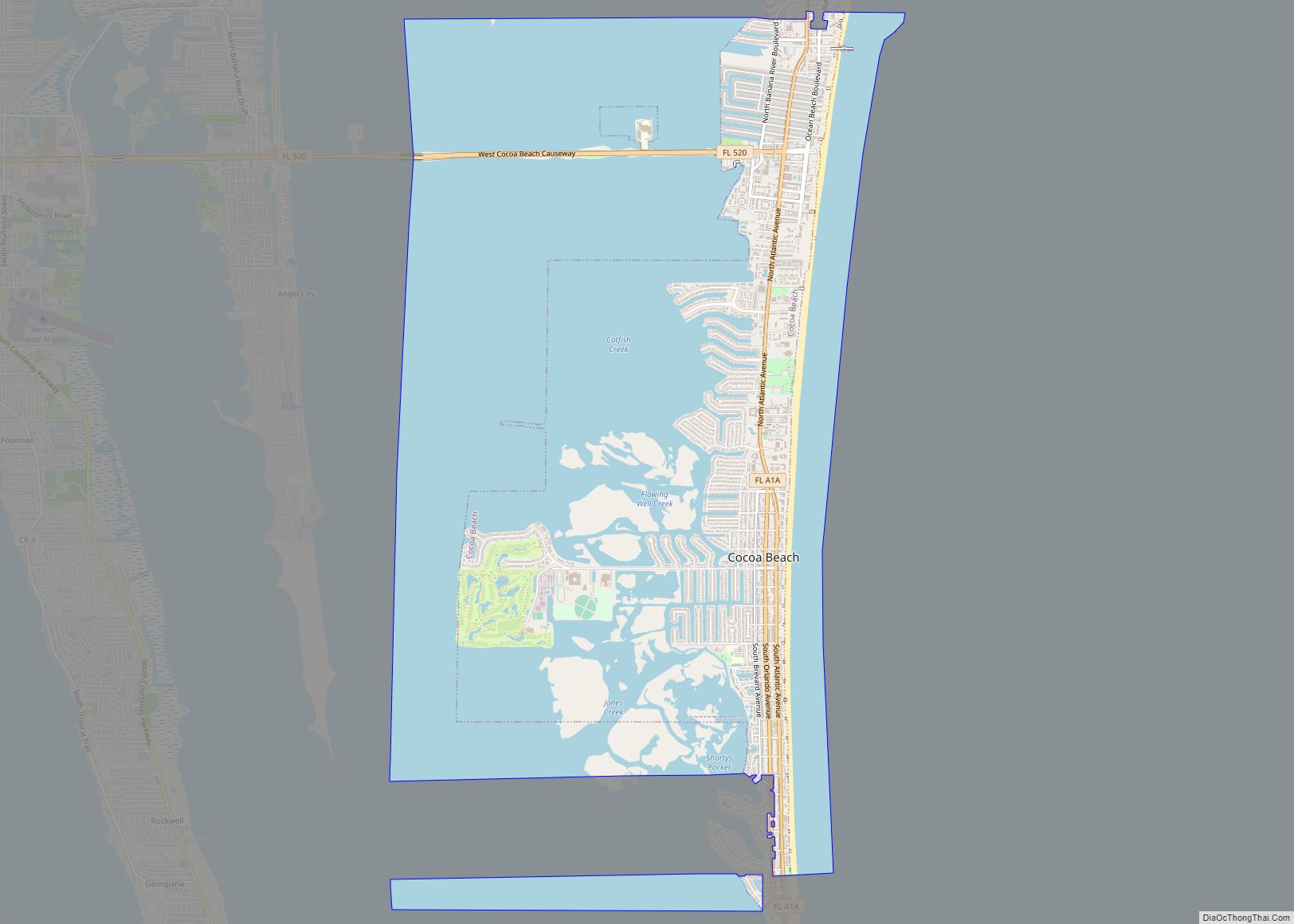
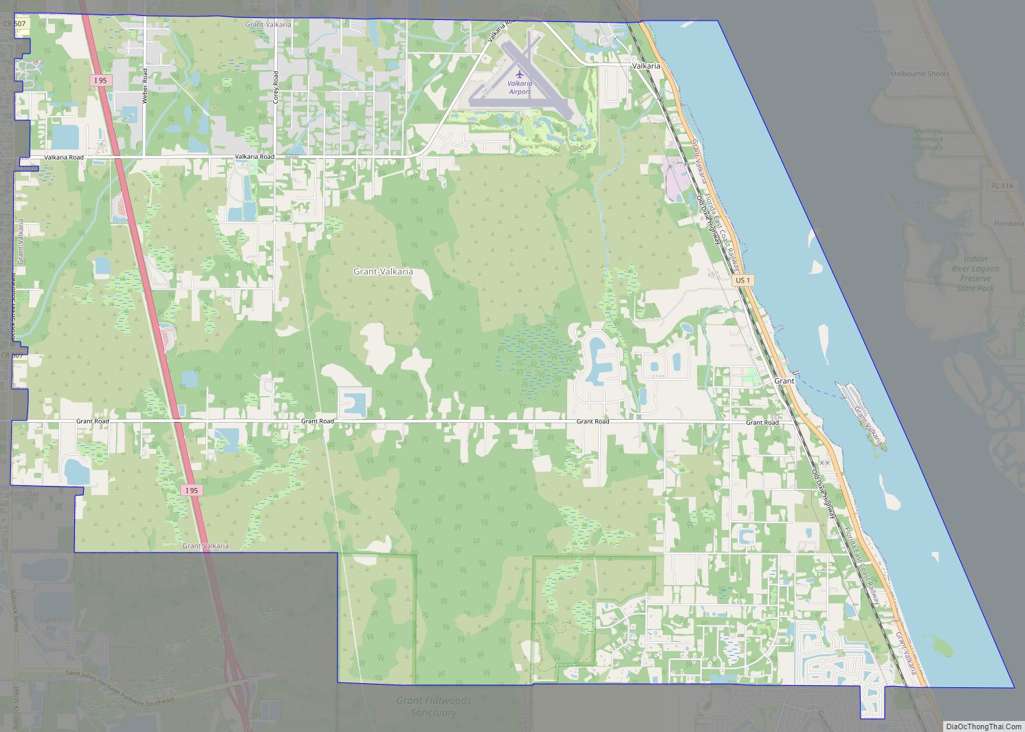
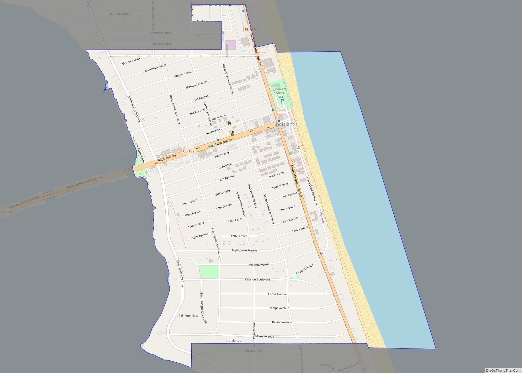
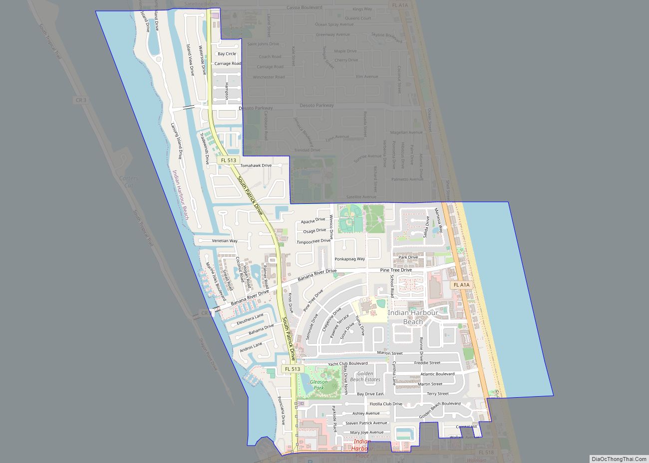
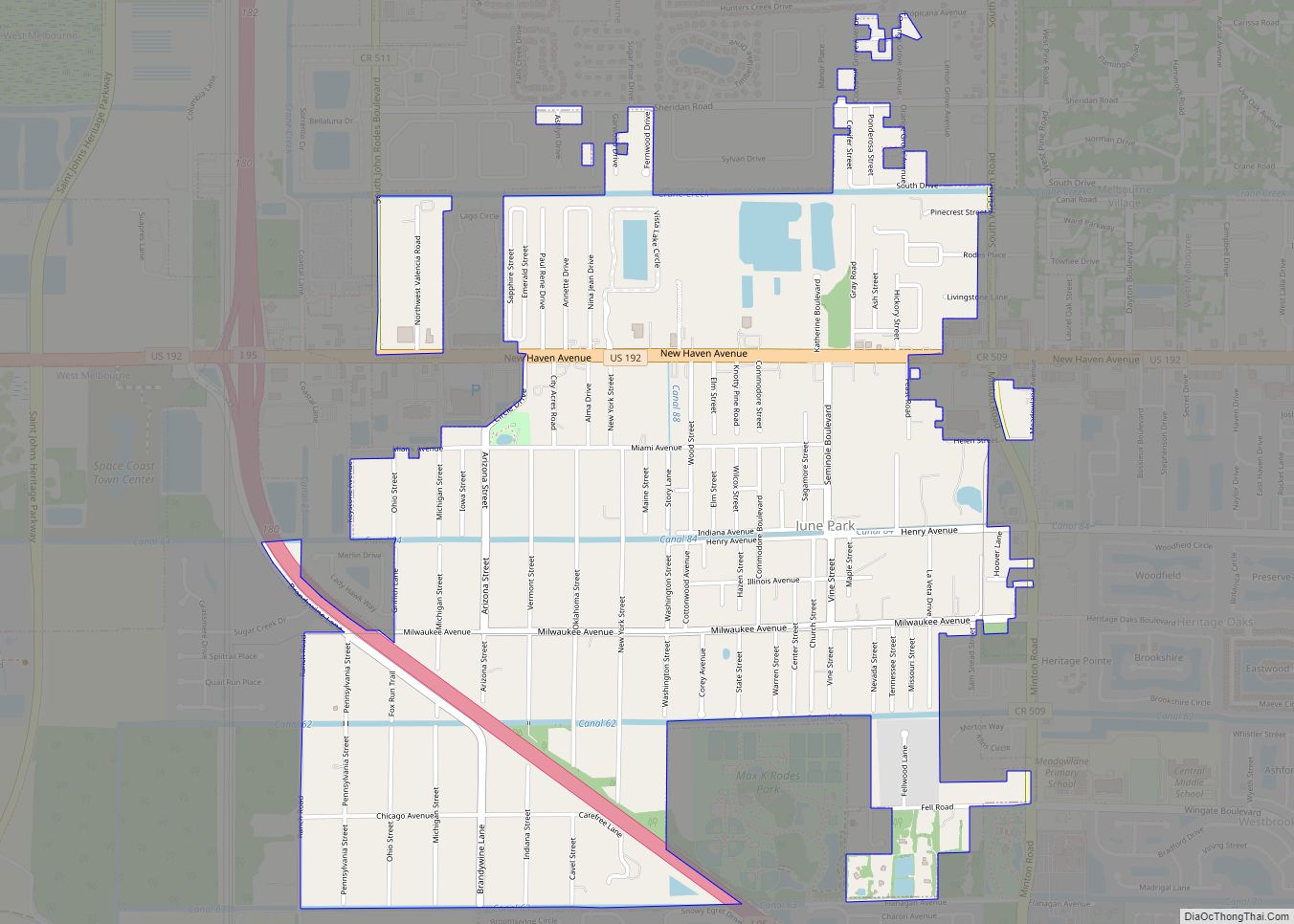
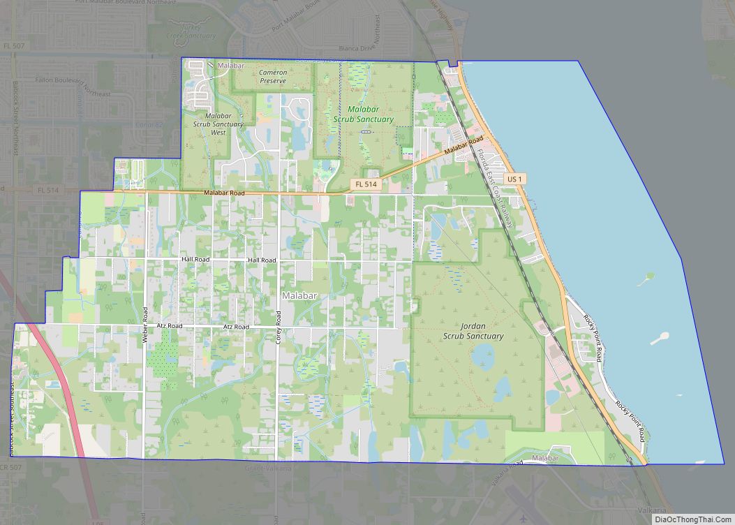
Online Interactive Map
Click on ![]() to view map in "full screen" mode.
to view map in "full screen" mode.
Titusville location map. Where is Titusville city?
History
Indigenous peoples had inhabited this area for thousands of years, as shown by discovery in 1982 of the Windover Archeological Site, dating to the early Archaic Period (6000 to 5000 BCE). It has been designated as a National Historic Landmark because of the significance of its remains.
At the time of European encounter, this area was inhabited by the Ais Indians, who gathered palmetto, cocoplum and seagrape berries. They also fished the Indian River, called the Rio de Ais by Spanish explorers. By 1760, however, the tribe had disappeared due largely to infectious disease, slave raids, and the disruptive effects of rum.
The United States acquired Florida from Spain in 1821, and the Seminole Wars delayed settlement of portions of the new territory.
This community was originally called Sand Point, and a post office was established in 1859, although it closed a few months later. Henry T. Titus arrived in 1867, intending to build a town on land owned by his wife, Mary Hopkins Titus, daughter of a prominent planter from Darien, Georgia. He laid out roads and in 1870 erected the Titus House, a large, one-story hotel next to a saloon. He also donated land for four churches and a courthouse, the latter an effort to get the town designated as county seat.
Local history says that Titus challenged Capt. Clark Rice to a game of dominoes to decide the name of the town. Titus won the game, and Sand Point was renamed as Titusville in 1873. The city was incorporated in 1887, the year construction began on St. Gabriel’s Episcopal Church, as listed in the 1972 National Register of Historic Places. At one point, Titusville was nicknamed “The City of Churches”.
The Atlantic Coast, St. Johns & Indian River Railroad reached Titusville in 1885, constructed from Enterprise, Florida. It was connected by a spur line to the Jacksonville, Tampa & Key West Railroad at Enterprise Junction in present-day DeBary, Florida. Henry Flagler extended his Florida East Coast Railroad south from Daytona, building a station at Titusville in 1892. Many tourists arrived by railroad to enjoy the mild winter climate.
In addition, the railroad was a means to ship area produce to northern markets, and the Indian River area increasingly became an agricultural and shipping center for pineapple and citrus goods. A wooden bridge was built east to Playalinda Beach in 1922.
In October 1918, Titusville officials were the first in the county to order closed all places of assembly, including schools, churches, and movies, to avoid spreading the Spanish flu.
Beginning in the late 1950s, the growth of Cape Canaveral, and later the Kennedy Space Center on Merritt Island, stimulated growth in the community’s economy, population and tourism. The association with the space program led to the city’s two nicknames in the 1960s: Space City USA and Miracle City.
Searstown Mall opened in 1966. Miracle City Mall opened in 1968, built on 32 acres (13 ha). It had 275,000 square feet (25,500 m) of covered floor space.
The jail at the county courthouse became overcrowded by the 1980s. A new jailhouse was built in Sharpes in 1986.
Computer Shopper was founded in Titusville in 1979 by Glenn Patch, first as a tabloid. It was later expanded as a magazine of over 800 pages per issue. It was published in Titusville until September 1989. That year operations were to be moved to New York City in a joint venture between Patch Communications of Titusville and Ziff Davis.
The A. Max Brewer Bridge, a 65 feet (20 m) fixed high-level span on SR-406 connecting Titusville to Merritt Island National Wildlife Refuge and Canaveral National Seashore, opened on February 5, 2011, to replace the former swing bridge built in 1949.
In May 2012, the Brevard County School Board closed Riverview Elementary School for budgetary reasons. It closed South Lake Elementary School on May 25, 2013.
In January 2013, Miracle City Mall closed, a victim of a declining local economy after the termination of the Space Shuttle program in 2012. In addition, county population had moved to the south, and changing shopping habits had adversely affected malls across the country. Demolition of Miracle City Mall occurred February 2015. The site has been redeveloped as a mixed-use outdoor shopping complex called Titus Landing.
Because of population decline, the USPS had closed two post offices in Titusville by 2013, and discussed closing a third.
Newspapers
- Titusville Star-Advocate – began publication in 1920 when the East Coast Advocate and Indian River Chronicle merged with the Indian River Star; bought by Henry Hudson in 1925; became Brevard’s first daily newspaper in 1965; the Star-Advocate was sold by Henry Hudson and his son Bob Hudson to Gannett Company in 1965. As part of the deal, publication of the Star-Advocate would be retained as long as editor Bob Hudson wished. Daily publication (Monday to Friday) ceased after January 31, 1975, when the Star-Advocate was changed to a weekly local insert for Titusville residents in Gannett’s Florida Today starting Wednesday, February 5, 1975. The format was changed from a newspaper to a small tabloid in the early 2000s. In July 2013, publication of the Star-Advocate was ceased.
- The North Brevard Beacon – biweekly newspaper based in Titusville that served the communities of North Brevard; publication started November 5, 2003; ceased publication after March 4, 2010.
- The News Observer of North Brevard – semiweekly newspaper based in Titusville; ceased publication September 4, 2003 after 15 years.
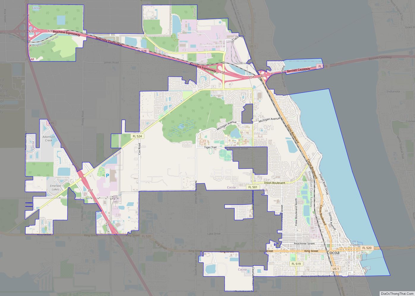
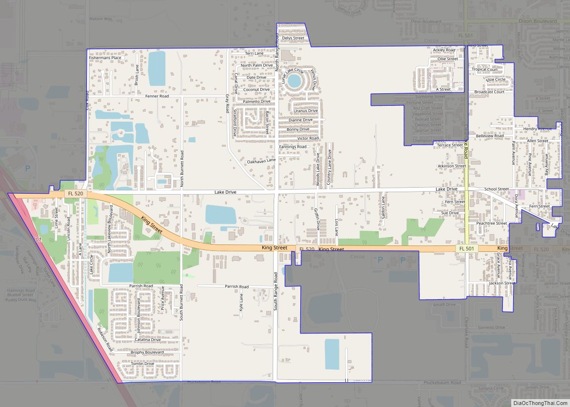
Titusville Road Map
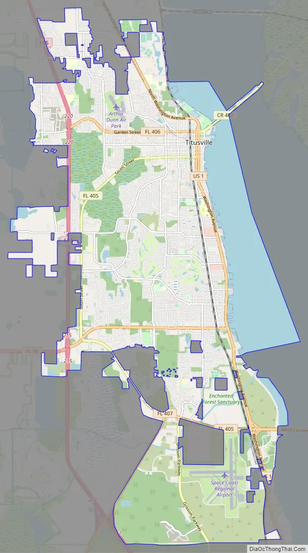
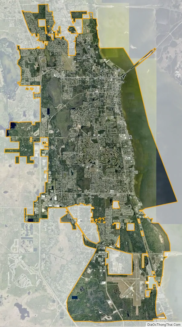
Titusville city Satellite Map
Geography
Titusville is located at 28°35′28″N 80°49′12″W / 28.59111°N 80.82000°W / 28.59111; -80.82000 (28.591210, –80.819911) in the northern half of Brevard County. According to the US Census Bureau, the city has a total area of 34.2 square miles (88.7 km). 29.4 square miles (76.1 km) of it is land, and 4.9 square miles (12.7 km) of it (14.26 percent) is water. Titusville is located on the Indian River Lagoon, part of the Atlantic Intracoastal Waterway.
Flora
The city is the only place in the world where the endangered Dicerandra thinicola, or “Titusville mint” grows. The fields are located along a 13 miles (21 km) strip between the Titusville wellfield and Mims.
Climate
Titusville has a humid subtropical climate, with hot, humid summers and mild winters.
See also
Map of Florida State and its subdivision:- Alachua
- Baker
- Bay
- Bradford
- Brevard
- Broward
- Calhoun
- Charlotte
- Citrus
- Clay
- Collier
- Columbia
- Desoto
- Dixie
- Duval
- Escambia
- Flagler
- Franklin
- Gadsden
- Gilchrist
- Glades
- Gulf
- Hamilton
- Hardee
- Hendry
- Hernando
- Highlands
- Hillsborough
- Holmes
- Indian River
- Jackson
- Jefferson
- Lafayette
- Lake
- Lee
- Leon
- Levy
- Liberty
- Madison
- Manatee
- Marion
- Martin
- Miami-Dade
- Monroe
- Nassau
- Okaloosa
- Okeechobee
- Orange
- Osceola
- Palm Beach
- Pasco
- Pinellas
- Polk
- Putnam
- Saint Johns
- Saint Lucie
- Santa Rosa
- Sarasota
- Seminole
- Sumter
- Suwannee
- Taylor
- Union
- Volusia
- Wakulla
- Walton
- Washington
- Alabama
- Alaska
- Arizona
- Arkansas
- California
- Colorado
- Connecticut
- Delaware
- District of Columbia
- Florida
- Georgia
- Hawaii
- Idaho
- Illinois
- Indiana
- Iowa
- Kansas
- Kentucky
- Louisiana
- Maine
- Maryland
- Massachusetts
- Michigan
- Minnesota
- Mississippi
- Missouri
- Montana
- Nebraska
- Nevada
- New Hampshire
- New Jersey
- New Mexico
- New York
- North Carolina
- North Dakota
- Ohio
- Oklahoma
- Oregon
- Pennsylvania
- Rhode Island
- South Carolina
- South Dakota
- Tennessee
- Texas
- Utah
- Vermont
- Virginia
- Washington
- West Virginia
- Wisconsin
- Wyoming