Map of Juno Beach town

Map of Juno Beach town

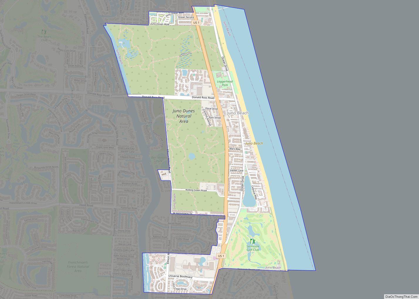
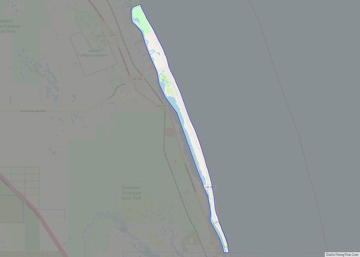
Juno Beach is a town in Palm Beach County, Florida, United States. Its population was 3,176 at the 2010 census. As of 2018, the population recorded by the U.S. Census Bureau was estimated at 3,648. Juno Beach is home to the headquarters of Florida Power & Light, the Loggerhead Marinelife Center and the Seminole Golf … Read more

Map of Jupiter Farms CDP

Map of Jupiter Farms CDP

Jupiter Farms is a community in Palm Beach County, Florida, United States. Jupiter Farms, locally known as “The Farms”, is located west of Florida’s Turnpike on Indiantown Road (County Road 706), the major highway through the community. The exact population is unknown. In 2010 the population was approximately 12,000. “The Farms” is composed of roughly … Read more

Map of Juno Ridge CDP

Map of Juno Ridge CDP

Juno Ridge is a census-designated place (CDP) in Palm Beach County, Florida, United States. The population was 742 at the 2000 census. Juno Ridge CDP overview: Name: Juno Ridge CDP LSAD Code: 57 LSAD Description: CDP (suffix) State: Florida County: Palm Beach County Elevation: 13 ft (4 m) Total Area: 0.23 sq mi (0.59 km²) Land Area: 0.21 sq mi (0.55 km²) Water … Read more

Map of Jupiter town

Map of Jupiter town

Jupiter is the northernmost town in Palm Beach County, Florida, United States. According to the 2020 Census, the town had a population of 61,047 as of April 1, 2020. It is 84 miles north of Miami and 15 miles north of West Palm Beach, Jupiter is the northernmost community in the Miami metropolitan area, home … Read more

Map of Jupiter Island town

Map of Jupiter Island town

The town of Jupiter Island is located on the barrier island called Jupiter Island, in Martin County, Florida, United States; the town is part of Florida’s Treasure Coast. The town is located next to the unincorporated community of Hobe Sound. The population of Jupiter Island was 804 at the 2020 census. Some of the wealthiest … Read more

Map of Jupiter Inlet Colony town

Map of Jupiter Inlet Colony town

Jupiter Inlet Colony is a town in Palm Beach County, Florida, United States. The population was 405 at the 2020 census. Jupiter Inlet Colony town overview: Name: Jupiter Inlet Colony town LSAD Code: 43 LSAD Description: town (suffix) State: Florida County: Palm Beach County Elevation: 7 ft (2 m) Total Area: 0.21 sq mi (0.54 km²) Land Area: 0.15 sq mi (0.40 km²) … Read more

Map of Kendall West CDP

Map of Kendall West CDP

Kendall West is a census-designated place and unincorporated community in Miami-Dade County, Florida, west of the Florida Turnpike. The population was 36,536 at the 2020 census. Kendall West CDP overview: Name: Kendall West CDP LSAD Code: 57 LSAD Description: CDP (suffix) State: Florida County: Miami-Dade County Elevation: 8 ft (2 m) Total Area: 3.01 sq mi (7.80 km²) Land Area: … Read more

Map of Kendale Lakes CDP

Map of Kendale Lakes CDP

Kendale Lakes is a census-designated place (CDP) and a suburb of Miami in Miami-Dade County, Florida, United States. The population was 55,646 at the 2020 census. Kendale Lakes CDP overview: Name: Kendale Lakes CDP LSAD Code: 57 LSAD Description: CDP (suffix) State: Florida County: Miami-Dade County Elevation: 8 ft (2 m) Total Area: 8.61 sq mi (22.29 km²) Land Area: … Read more

Map of Kathleen CDP

Map of Kathleen CDP

Kathleen is a census-designated place (CDP) in Polk County, Florida, United States. The population was 3,280 at the 2000 census. It is part of the Lakeland–Winter Haven Metropolitan Statistical Area. Kathleen CDP overview: Name: Kathleen CDP LSAD Code: 57 LSAD Description: CDP (suffix) State: Florida County: Polk County Elevation: 144 ft (44 m) Total Area: 7.23 sq mi (18.73 km²) … Read more

Map of Kensington Park CDP

Map of Kensington Park CDP

Kensington Park is a census-designated place (CDP) in Sarasota County, Florida, United States. The population was 3,901 at the 2010 census. It is part of the Bradenton–Sarasota–Venice Metropolitan Statistical Area. Kensington Park CDP overview: Name: Kensington Park CDP LSAD Code: 57 LSAD Description: CDP (suffix) State: Florida County: Sarasota County Elevation: 20 ft (6 m) Total Area: … Read more

Map of Kenneth City town

Map of Kenneth City town

Kenneth City is a town in southern Pinellas County, Florida, between St. Petersburg and Pinellas Park, United States. The population was 4,980 at the 2010 US Census. Kenneth City town overview: Name: Kenneth City town LSAD Code: 43 LSAD Description: town (suffix) State: Florida County: Pinellas County Incorporated: April 30, 1957 (1957-04-30) Elevation: 20 ft (6 m) Total Area: 0.75 sq mi … Read more

Map of Kendall CDP

Map of Kendall CDP, Florida

Kendall is an unincorporated area and census-designated place in Miami-Dade County, Florida. At the 2020 census, the area had a population of 80,241. Kendall CDP overview: Name: Kendall CDP LSAD Code: 57 LSAD Description: CDP (suffix) State: Florida County: Miami-Dade County Elevation: 13 ft (4 m) Total Area: 16.60 sq mi (43.00 km²) Land Area: 16.10 sq mi (41.70 km²) Water Area: 0.50 sq mi … Read more