Kendall is an unincorporated area and census-designated place in Miami-Dade County, Florida. At the 2020 census, the area had a population of 80,241.
| Name: | Kendall CDP |
|---|---|
| LSAD Code: | 57 |
| LSAD Description: | CDP (suffix) |
| State: | Florida |
| County: | Miami-Dade County |
| Elevation: | 13 ft (4 m) |
| Total Area: | 16.60 sq mi (43.00 km²) |
| Land Area: | 16.10 sq mi (41.70 km²) |
| Water Area: | 0.50 sq mi (1.30 km²) |
| Total Population: | 80,241 |
| Population Density: | 4,984.22/sq mi (1,924.42/km²) |
| Area code: | 305, 786 |
| FIPS code: | 1236100 |
| GNISfeature ID: | 0285050 |
Online Interactive Map
Click on ![]() to view map in "full screen" mode.
to view map in "full screen" mode.
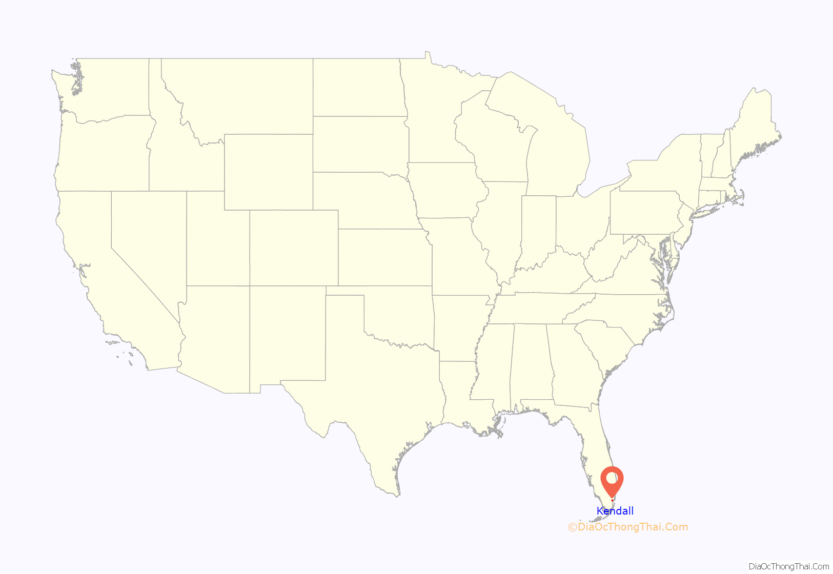
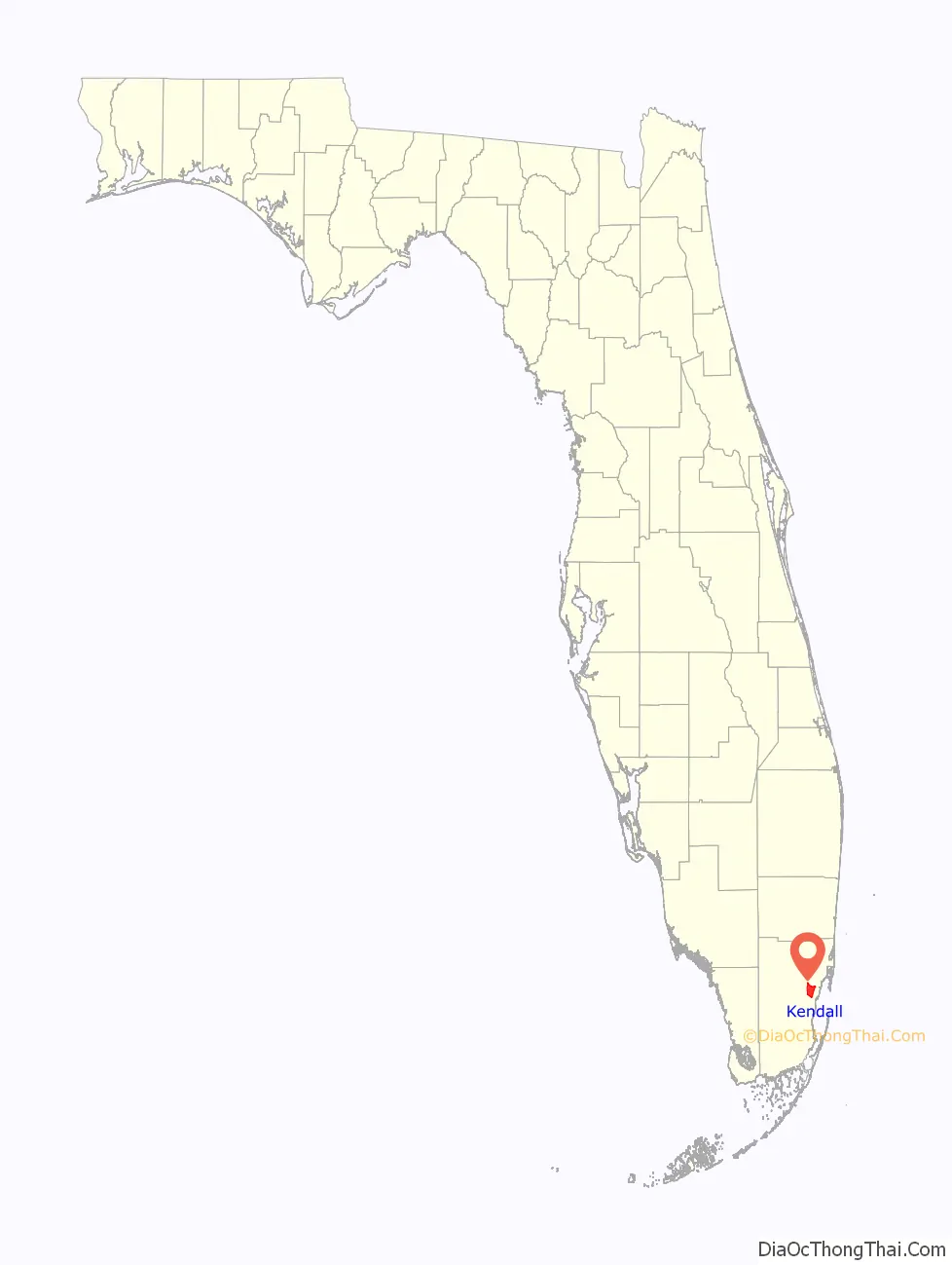
Kendall location map. Where is Kendall CDP?
History
Much of what is now Kendall was purchased from the State of Florida in 1883 by the Florida Land and Mortgage Company. It was named for Henry John Broughton Kendall, a director of the company, who moved to the area in the 1900s to manage the company’s land. As the land was not open to homesteading, development was slow well into the 20th century. A post office opened in 1914, and the first school opened in 1929. After the end of the land boom in 1926, some residents left. Two Seminole camps were in the Kendall area, and Seminoles continued to live there into the 1940s.
Prior to the 1950s, the term “Kendall” was used to describe a region centered around U.S. Route 1, bounded by Snapper Creek to the north, the Everglades to the west, Old Cutler Road to the east, and the former community of Rockdale to the south. This area was largely uninhabited, generally consisting of pine rockland interspersed with fields and groves. As the region experienced rapid development in the 1950s, the moniker “Kendall” came to refer to the various communities built in the vicinity of present-day Pinecrest and the eastern half of the current Kendall CDP. When growth shifted west in the 1970s, ’80s, and ’90s, the usage of the term steadily shifted west concurrently, and today it is most often applied to the area more formally known as West Kendall. Prior to incorporation in 1996, the Village of Pinecrest was still included in the official boundaries of Kendall CDP.
In August 1992, Kendall and the surrounding South Dade area were severely damaged by Hurricane Andrew. Many of the homes and businesses in the area were destroyed. In the subsequent years, the area was slowly rebuilt.
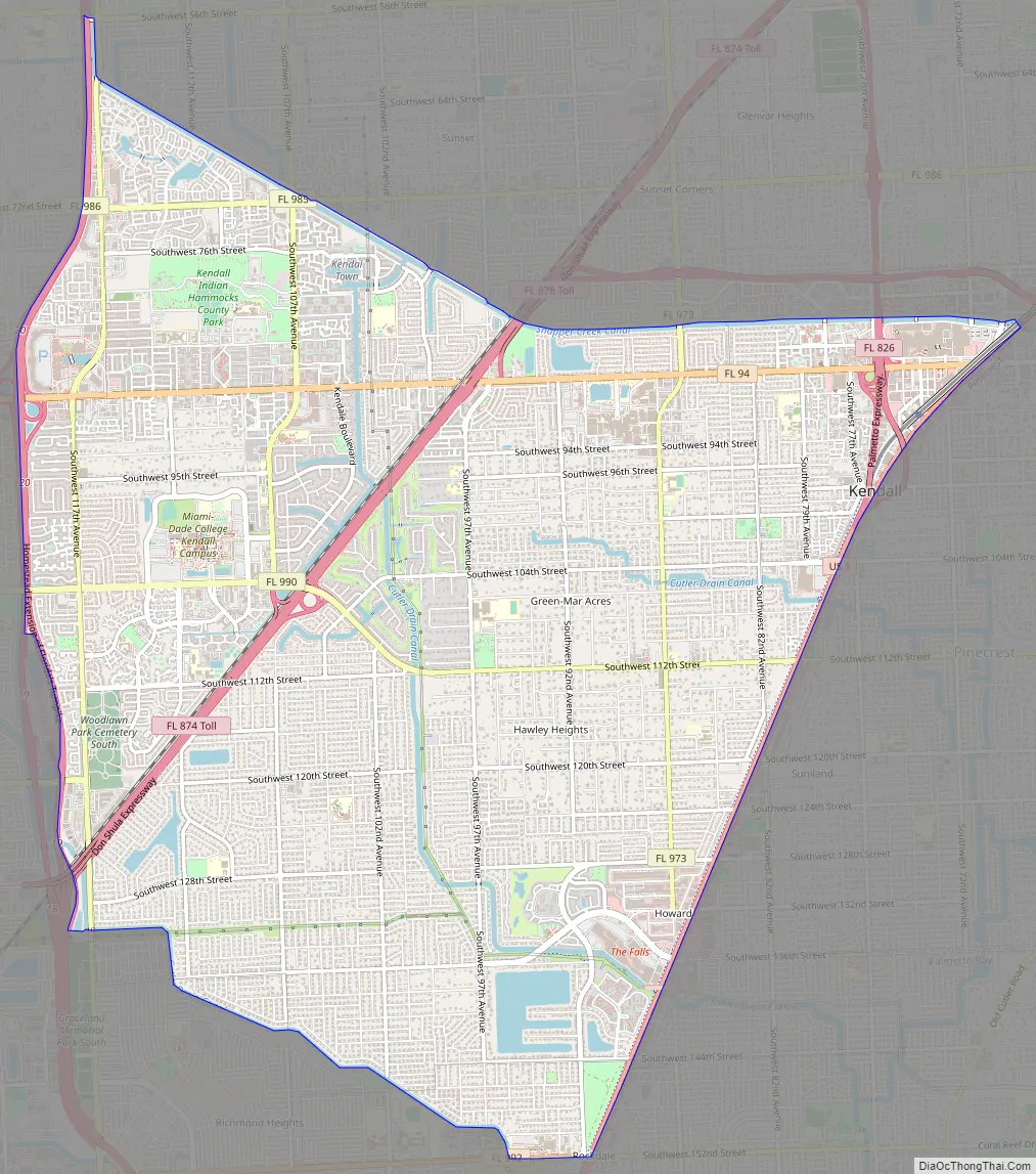
Kendall Road Map
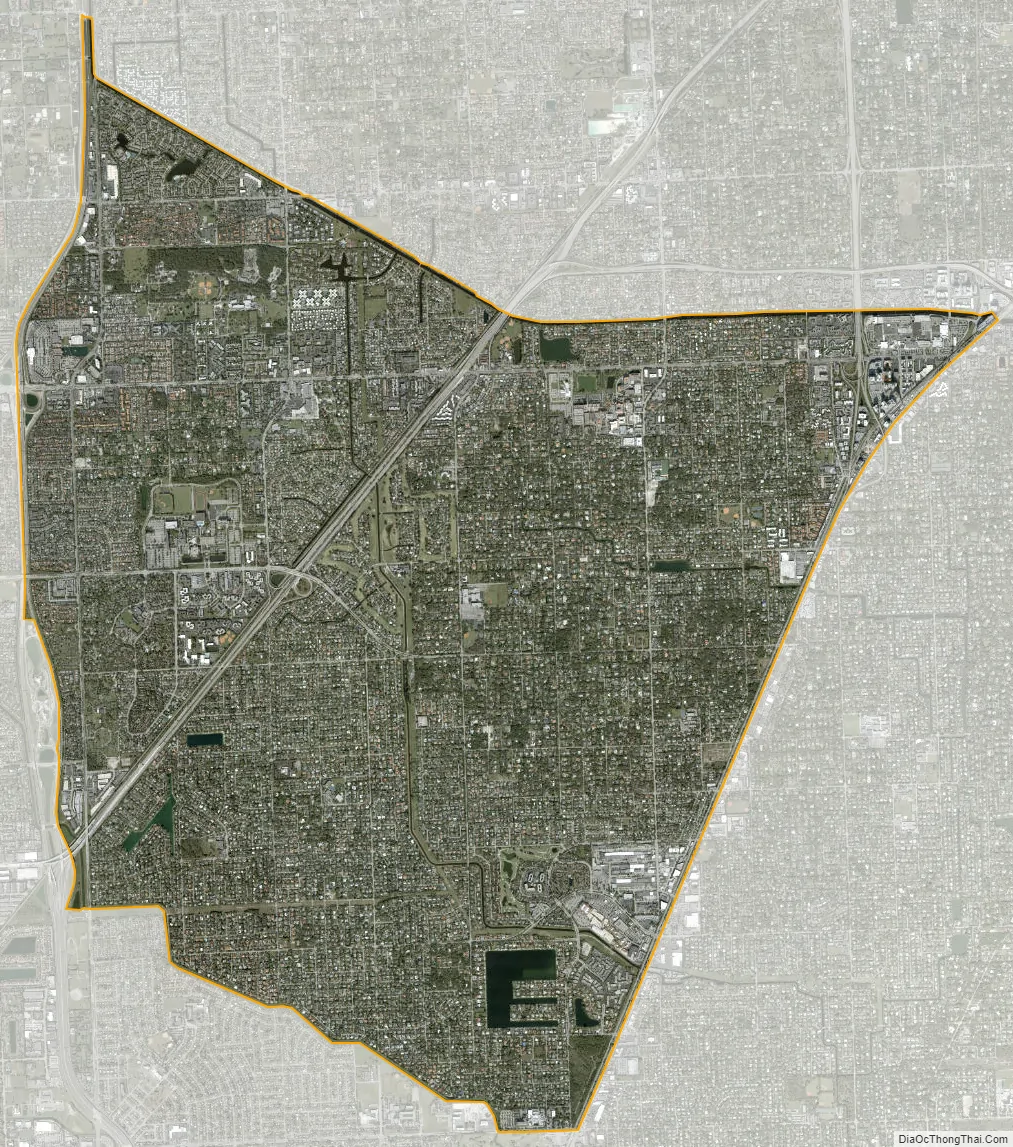
Kendall city Satellite Map
Geography
Kendall is located 14 miles (23 km) southwest of downtown Miami at 25°40′0″N 80°21′24″W / 25.66667°N 80.35667°W / 25.66667; -80.35667 (25.666781, −80.356533). It is bordered to the east by the village of Pinecrest, to the southeast by the village of Palmetto Bay, to the south by Palmetto Estates and Richmond Heights, to the southwest by Three Lakes, to the west by The Crossings, to the northwest by Kendale Lakes, to the north by Sunset, and to the northeast by Glenvar Heights.
U.S. Route 1 forms the eastern boundary of Kendall; it leads northeast to Miami and southwest 16 miles (26 km) to Homestead. The Homestead Extension of Florida’s Turnpike forms the western boundary of Kendall, leading north 10 miles (16 km) to Doral and south 18 miles (29 km) to its southern terminus at Florida City. The Don Shula Expressway (Florida State Road 874) crosses Kendall from northeast to southwest.
According to the United States Census Bureau, the Kendall CDP has a total area of 16.6 square miles (43 km); 16.1 square miles (42 km) of it are land and 0.5 square miles (1.3 km) of it (3.03%) are water.
See also
Map of Florida State and its subdivision:- Alachua
- Baker
- Bay
- Bradford
- Brevard
- Broward
- Calhoun
- Charlotte
- Citrus
- Clay
- Collier
- Columbia
- Desoto
- Dixie
- Duval
- Escambia
- Flagler
- Franklin
- Gadsden
- Gilchrist
- Glades
- Gulf
- Hamilton
- Hardee
- Hendry
- Hernando
- Highlands
- Hillsborough
- Holmes
- Indian River
- Jackson
- Jefferson
- Lafayette
- Lake
- Lee
- Leon
- Levy
- Liberty
- Madison
- Manatee
- Marion
- Martin
- Miami-Dade
- Monroe
- Nassau
- Okaloosa
- Okeechobee
- Orange
- Osceola
- Palm Beach
- Pasco
- Pinellas
- Polk
- Putnam
- Saint Johns
- Saint Lucie
- Santa Rosa
- Sarasota
- Seminole
- Sumter
- Suwannee
- Taylor
- Union
- Volusia
- Wakulla
- Walton
- Washington
- Alabama
- Alaska
- Arizona
- Arkansas
- California
- Colorado
- Connecticut
- Delaware
- District of Columbia
- Florida
- Georgia
- Hawaii
- Idaho
- Illinois
- Indiana
- Iowa
- Kansas
- Kentucky
- Louisiana
- Maine
- Maryland
- Massachusetts
- Michigan
- Minnesota
- Mississippi
- Missouri
- Montana
- Nebraska
- Nevada
- New Hampshire
- New Jersey
- New Mexico
- New York
- North Carolina
- North Dakota
- Ohio
- Oklahoma
- Oregon
- Pennsylvania
- Rhode Island
- South Carolina
- South Dakota
- Tennessee
- Texas
- Utah
- Vermont
- Virginia
- Washington
- West Virginia
- Wisconsin
- Wyoming


