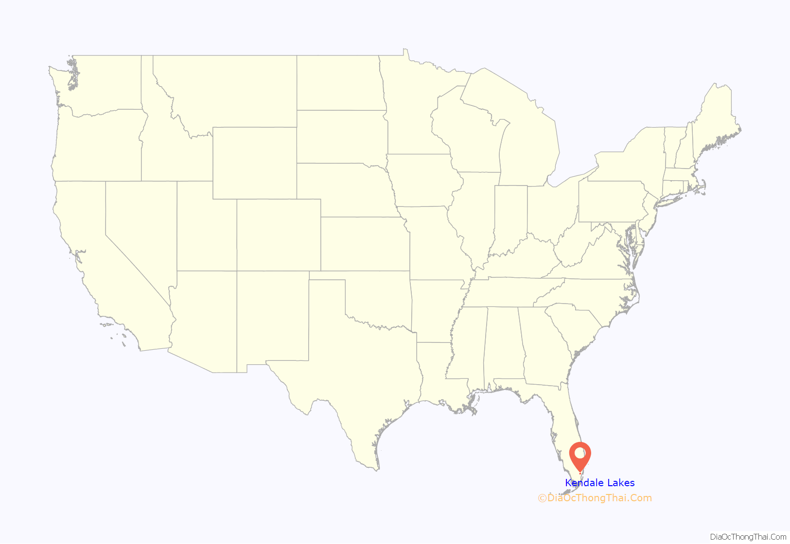
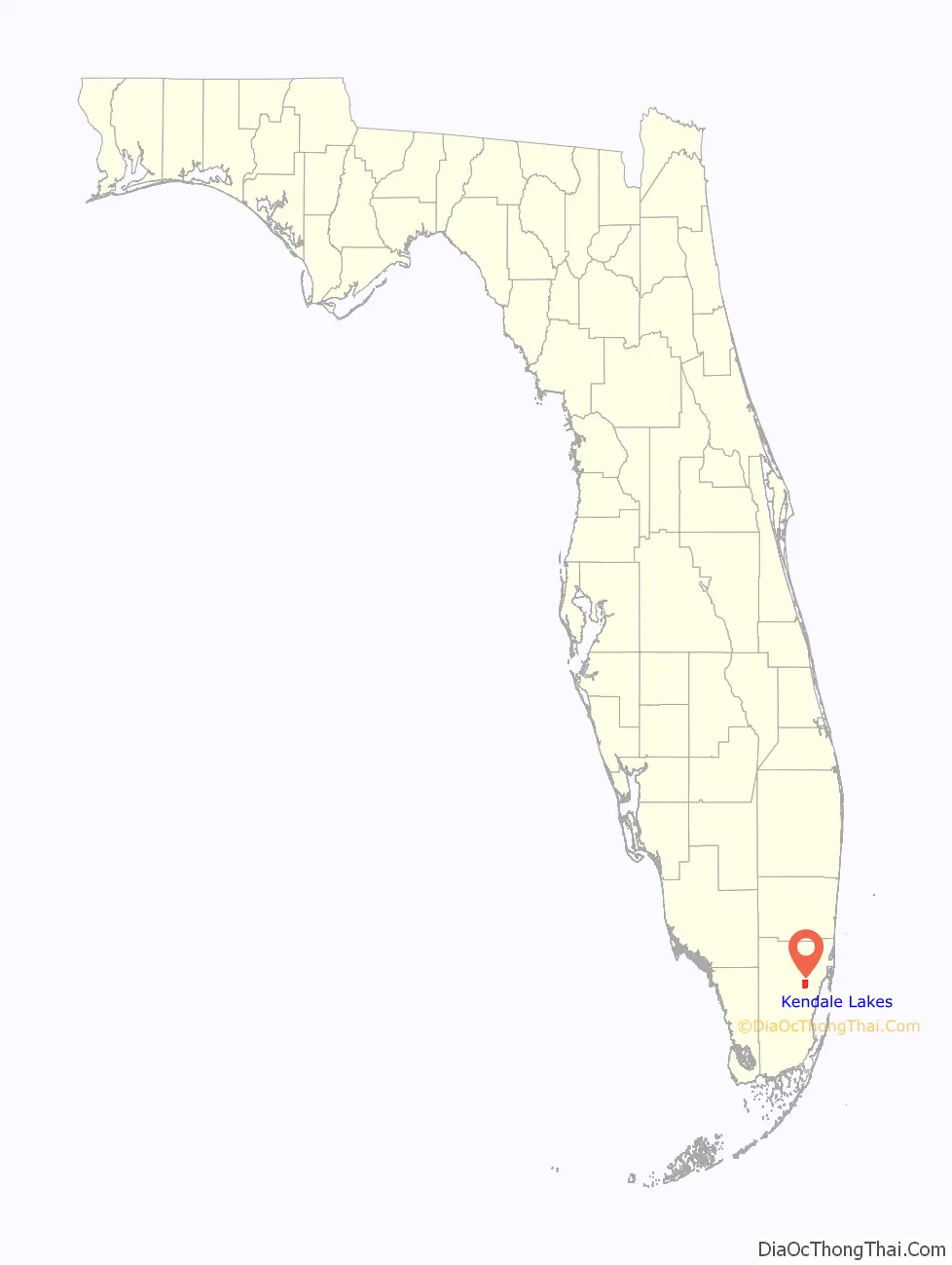
Kendale Lakes is a census-designated place (CDP) and a suburb of Miami in Miami-Dade County, Florida, United States. The population was 55,646 at the 2020 census.
| Name: | Kendale Lakes CDP |
|---|---|
| LSAD Code: | 57 |
| LSAD Description: | CDP (suffix) |
| State: | Florida |
| County: | Miami-Dade County |
| Elevation: | 8 ft (2 m) |
| Total Area: | 8.61 sq mi (22.29 km²) |
| Land Area: | 8.07 sq mi (20.91 km²) |
| Water Area: | 0.53 sq mi (1.38 km²) |
| Total Population: | 55,646 |
| Population Density: | 6,891.15/sq mi (2,660.72/km²) |
| FIPS code: | 1236062 |
| GNISfeature ID: | 1867158 |
Online Interactive Map
Click on ![]() to view map in "full screen" mode.
to view map in "full screen" mode.
Kendale Lakes location map. Where is Kendale Lakes CDP?
History
Kendale Lakes (and all of West Kendall) once had a large Miami Jewish population; many prominent attorneys lived there throughout the mid and late 70s. It was truly a bedroom community up until the mid to late 80s. The portion east of 142 Av and between Sunset Dr and N Kendall Dr was built by Janis homes c. 1970; the portion west of 142 Av. was built by Caravel homes around 1973-74.
El Dorado Blvd was once a walk-through outdoor mall with many mom and pop stores called the Kendale Lakes Mall. It was a destination for locals and had many specialty shops like Second Skin, Smatt Bootery, Sentry Drugs, Mightiest Mortals and restaurants like Fiesta Tacos, The Carvery, Cozzoli’s Pizza, Tiger Tea House and Burns Bakery to name but a few. It has always been a megaplex (450,000 square feet with one anchor mall and two strip malls and a roller skating rink on its eastern/northern periphery) and was the only built upon area west of 137 Av.
The southeast corner of 137 Av. was where Don Carter’s Bowling Alley was located, now called Carter Plaza. Mike’s Pizza and Marino’s Pizza are two long time local favorites which remain open for business in Kendale Lakes. K-Mart is the only store which remains open from the original Kendale Lakes Mall which was one of the former mall’s anchor stores. The other anchor store was Luria’s. Kendale Lakes Mall remains a source of nostalgia for many locals who grew up in the area during the late 1970s and 1980s.
The Kendale Lakes Country Club was bought by the Miccosukee tribe. It originally was an amenity offered to local homeowners. It is still surrounded by tree lined streets – a canopy of trees and lush green lawns. Coral rocks cover a moat which is located around its circumference and it is dotted with lakes. At one time there was a small sandy beach and picnic area and pier which is now closed. There are remnants of the old pier. There were two pools at the country club (one for family and one for adults only) including an Olympic size pool, replaced now by a volleyball court.
Kendale Lakes Road Map

Kendale Lakes city Satellite Map

Geography
Kendale Lakes is located 15 miles (24 km) west-southwest of downtown Miami at 25°42′30″N 80°24′42″W / 25.70833°N 80.41167°W / 25.70833; -80.41167 (25.708464, -80.411610). It is bordered to the north by Tamiami, to the northeast by Westwood Lakes, to the southeast by Kendall, to the south by The Crossings, to the southwest by The Hammocks, and to the west by Kendall West.
The Homestead Extension of Florida’s Turnpike forms the eastern edge of Kendale Lakes, with access from Exits 20 and 23. The highway leads north and east 24 miles (39 km) to Florida’s Turnpike between Miramar and Miami Gardens, and south 22 miles (35 km) to its end at U.S. Route 1 in Florida City.
According to the United States Census Bureau, the Kendale Lakes CDP has a total area of 8.6 square miles (22 km), of which 8.1 square miles (21 km) are land and 0.5 square miles (1.3 km), or 6.19%, are water.
See also
Map of Florida State and its subdivision:- Alachua
- Baker
- Bay
- Bradford
- Brevard
- Broward
- Calhoun
- Charlotte
- Citrus
- Clay
- Collier
- Columbia
- Desoto
- Dixie
- Duval
- Escambia
- Flagler
- Franklin
- Gadsden
- Gilchrist
- Glades
- Gulf
- Hamilton
- Hardee
- Hendry
- Hernando
- Highlands
- Hillsborough
- Holmes
- Indian River
- Jackson
- Jefferson
- Lafayette
- Lake
- Lee
- Leon
- Levy
- Liberty
- Madison
- Manatee
- Marion
- Martin
- Miami-Dade
- Monroe
- Nassau
- Okaloosa
- Okeechobee
- Orange
- Osceola
- Palm Beach
- Pasco
- Pinellas
- Polk
- Putnam
- Saint Johns
- Saint Lucie
- Santa Rosa
- Sarasota
- Seminole
- Sumter
- Suwannee
- Taylor
- Union
- Volusia
- Wakulla
- Walton
- Washington
- Alabama
- Alaska
- Arizona
- Arkansas
- California
- Colorado
- Connecticut
- Delaware
- District of Columbia
- Florida
- Georgia
- Hawaii
- Idaho
- Illinois
- Indiana
- Iowa
- Kansas
- Kentucky
- Louisiana
- Maine
- Maryland
- Massachusetts
- Michigan
- Minnesota
- Mississippi
- Missouri
- Montana
- Nebraska
- Nevada
- New Hampshire
- New Jersey
- New Mexico
- New York
- North Carolina
- North Dakota
- Ohio
- Oklahoma
- Oregon
- Pennsylvania
- Rhode Island
- South Carolina
- South Dakota
- Tennessee
- Texas
- Utah
- Vermont
- Virginia
- Washington
- West Virginia
- Wisconsin
- Wyoming


