Juno Beach is a town in Palm Beach County, Florida, United States. Its population was 3,176 at the 2010 census. As of 2018, the population recorded by the U.S. Census Bureau was estimated at 3,648. Juno Beach is home to the headquarters of Florida Power & Light, the Loggerhead Marinelife Center and the Seminole Golf Club . It was also the original county seat for the area that was then known as Dade County. Juno Beach is in the Miami metropolitan area.
| Name: | Juno Beach town |
|---|---|
| LSAD Code: | 43 |
| LSAD Description: | town (suffix) |
| State: | Florida |
| County: | Palm Beach County |
| Elevation: | 23 ft (7 m) |
| Total Area: | 2.72 sq mi (7.05 km²) |
| Land Area: | 2.04 sq mi (5.28 km²) |
| Water Area: | 0.68 sq mi (1.77 km²) |
| Total Population: | 3,858 |
| Population Density: | 1,892.10/sq mi (730.39/km²) |
| ZIP code: | 33408 |
| Area code: | 561 |
| FIPS code: | 1235850 |
| GNISfeature ID: | 0284999 |
| Website: | www.juno-beach.fl.us |
Online Interactive Map
Click on ![]() to view map in "full screen" mode.
to view map in "full screen" mode.
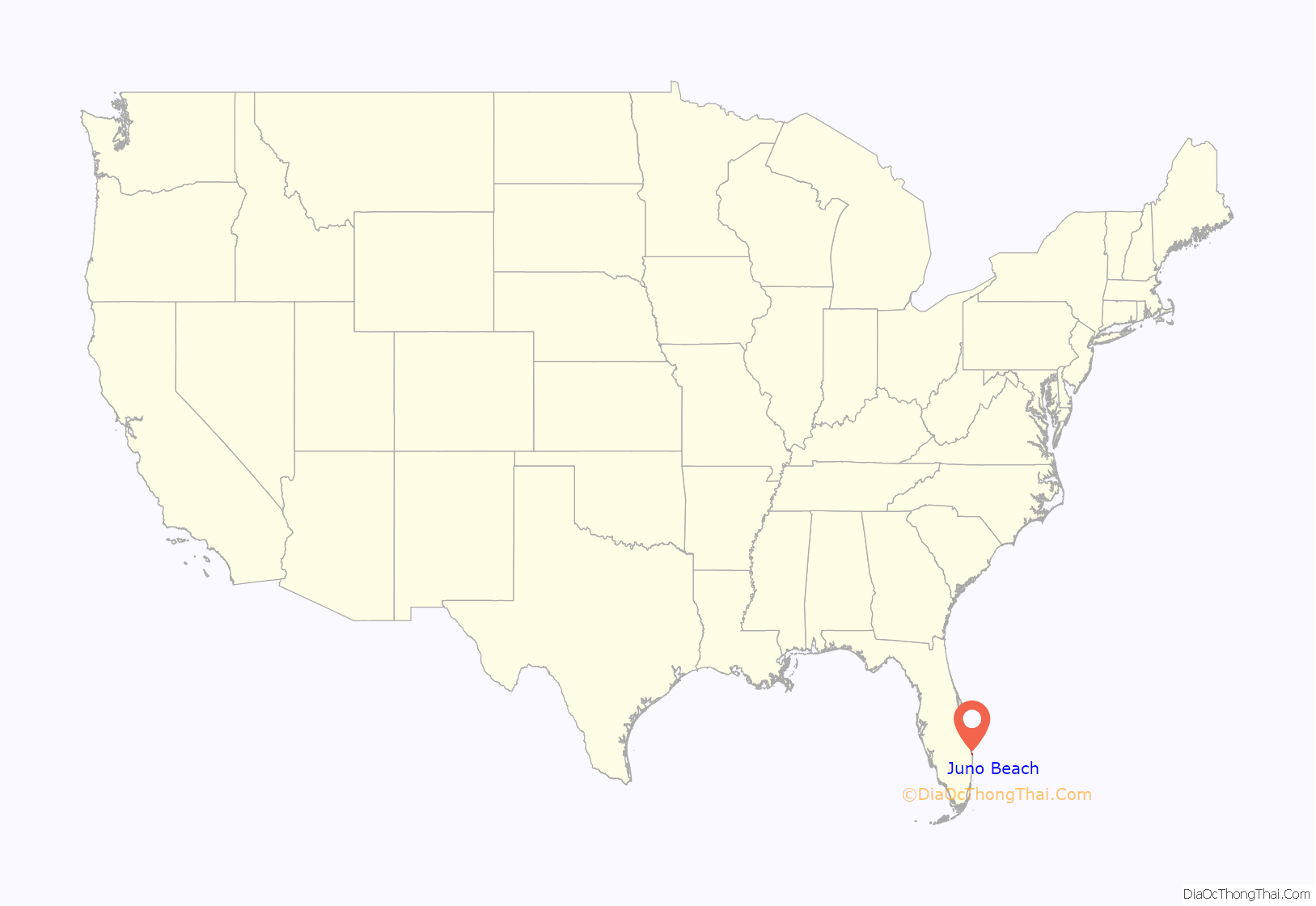
Juno Beach location map. Where is Juno Beach town?
History
As a sister settlement to the town of Jupiter to the north, the development was named, at some point in the 19th century, after Jupiter’s wife, the ancient Roman goddess Juno. The designation in 1944 of a namesake D-Day landing beach in Normandy, named for Juno Dawnay, a Canadian officer’s wife, was purely coincidental.
A pier was built in 1946 and the town was platted in 1948. The original pier was destroyed during a November storm in 1984 and a new 993-foot Juno Beach Pier built in 1999.
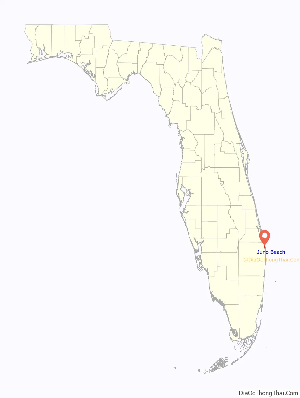
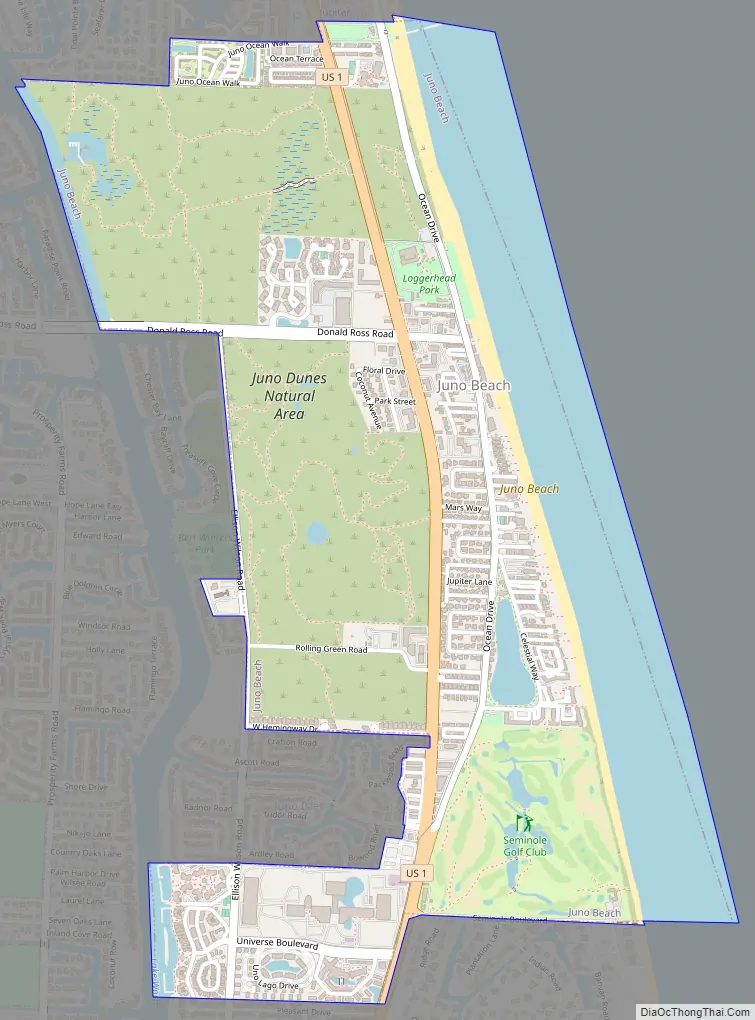
Juno Beach Road Map
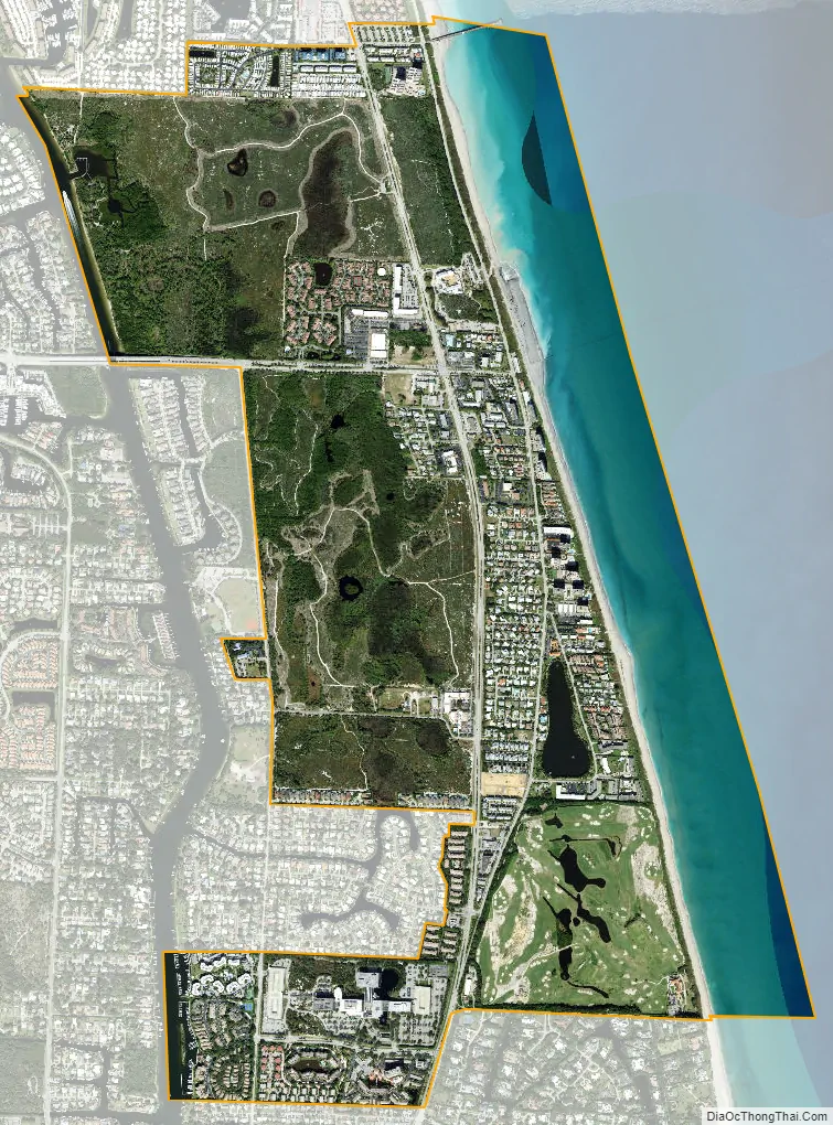
Juno Beach city Satellite Map
Geography
Juno Beach is located at 26°52′24″N 80°3′15″W / 26.87333°N 80.05417°W / 26.87333; -80.05417 (26.873404, –80.054063).
According to the United States Census Bureau, the town has a total area of 1.9 square miles (4.9 km), of which 0.5 square miles (1.3 km) (25.13%) is covered by water.
Climate
See also
Map of Florida State and its subdivision:- Alachua
- Baker
- Bay
- Bradford
- Brevard
- Broward
- Calhoun
- Charlotte
- Citrus
- Clay
- Collier
- Columbia
- Desoto
- Dixie
- Duval
- Escambia
- Flagler
- Franklin
- Gadsden
- Gilchrist
- Glades
- Gulf
- Hamilton
- Hardee
- Hendry
- Hernando
- Highlands
- Hillsborough
- Holmes
- Indian River
- Jackson
- Jefferson
- Lafayette
- Lake
- Lee
- Leon
- Levy
- Liberty
- Madison
- Manatee
- Marion
- Martin
- Miami-Dade
- Monroe
- Nassau
- Okaloosa
- Okeechobee
- Orange
- Osceola
- Palm Beach
- Pasco
- Pinellas
- Polk
- Putnam
- Saint Johns
- Saint Lucie
- Santa Rosa
- Sarasota
- Seminole
- Sumter
- Suwannee
- Taylor
- Union
- Volusia
- Wakulla
- Walton
- Washington
- Alabama
- Alaska
- Arizona
- Arkansas
- California
- Colorado
- Connecticut
- Delaware
- District of Columbia
- Florida
- Georgia
- Hawaii
- Idaho
- Illinois
- Indiana
- Iowa
- Kansas
- Kentucky
- Louisiana
- Maine
- Maryland
- Massachusetts
- Michigan
- Minnesota
- Mississippi
- Missouri
- Montana
- Nebraska
- Nevada
- New Hampshire
- New Jersey
- New Mexico
- New York
- North Carolina
- North Dakota
- Ohio
- Oklahoma
- Oregon
- Pennsylvania
- Rhode Island
- South Carolina
- South Dakota
- Tennessee
- Texas
- Utah
- Vermont
- Virginia
- Washington
- West Virginia
- Wisconsin
- Wyoming


