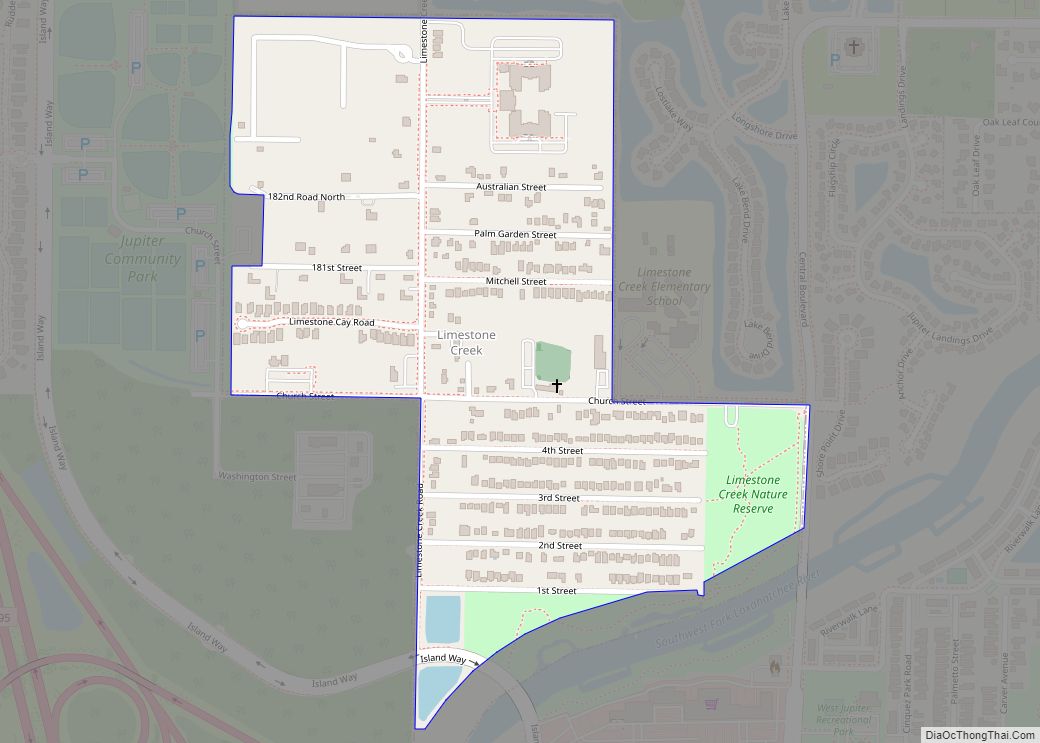
Limestone Creek is a census-designated place (CDP) in Palm Beach County, Florida, United States. The population was 1,316 at the 2020 census. Limestone Creek CDP overview: Name: Limestone Creek CDP LSAD Code: 57 LSAD Description: CDP (suffix) State: Florida County: Palm Beach County Elevation: 10 ft (3 m) Total Area: 0.39 sq mi (1.01 km²) Land Area: 0.39 sq mi (1.01 km²) Water ... Read more
Florida Cities and Places
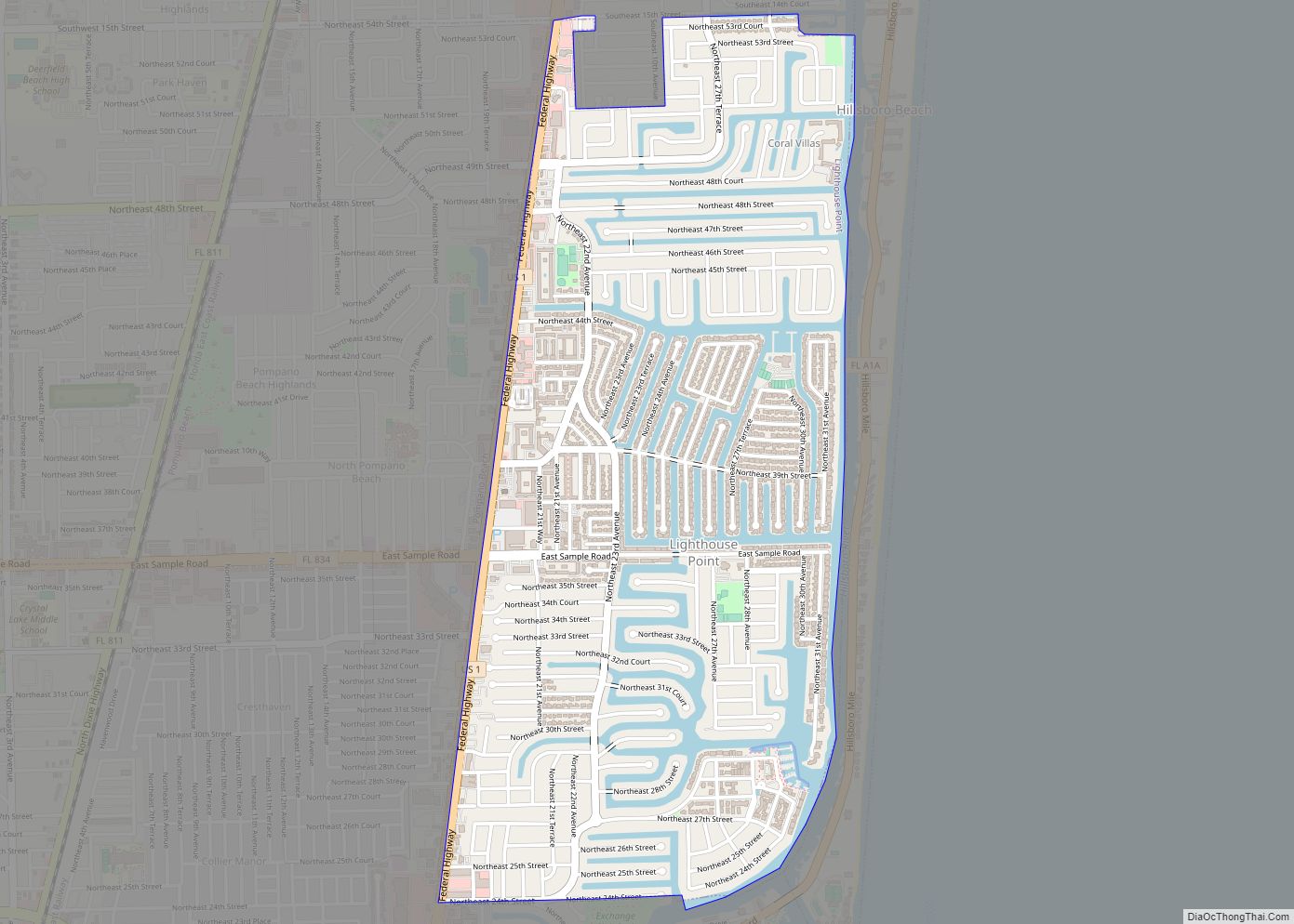
Lighthouse Point is a suburb of Fort Lauderdale located in Broward County, Florida, United States. The suburb was named for the Hillsboro Inlet Lighthouse, which is located in nearby Hillsboro Beach. As of the 2020 census, the population of Lighthouse Point was 10,486. Lighthouse Point is a part of the Miami metropolitan area, home to ... Read more
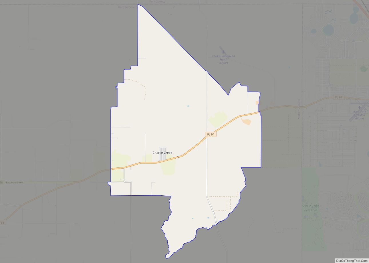
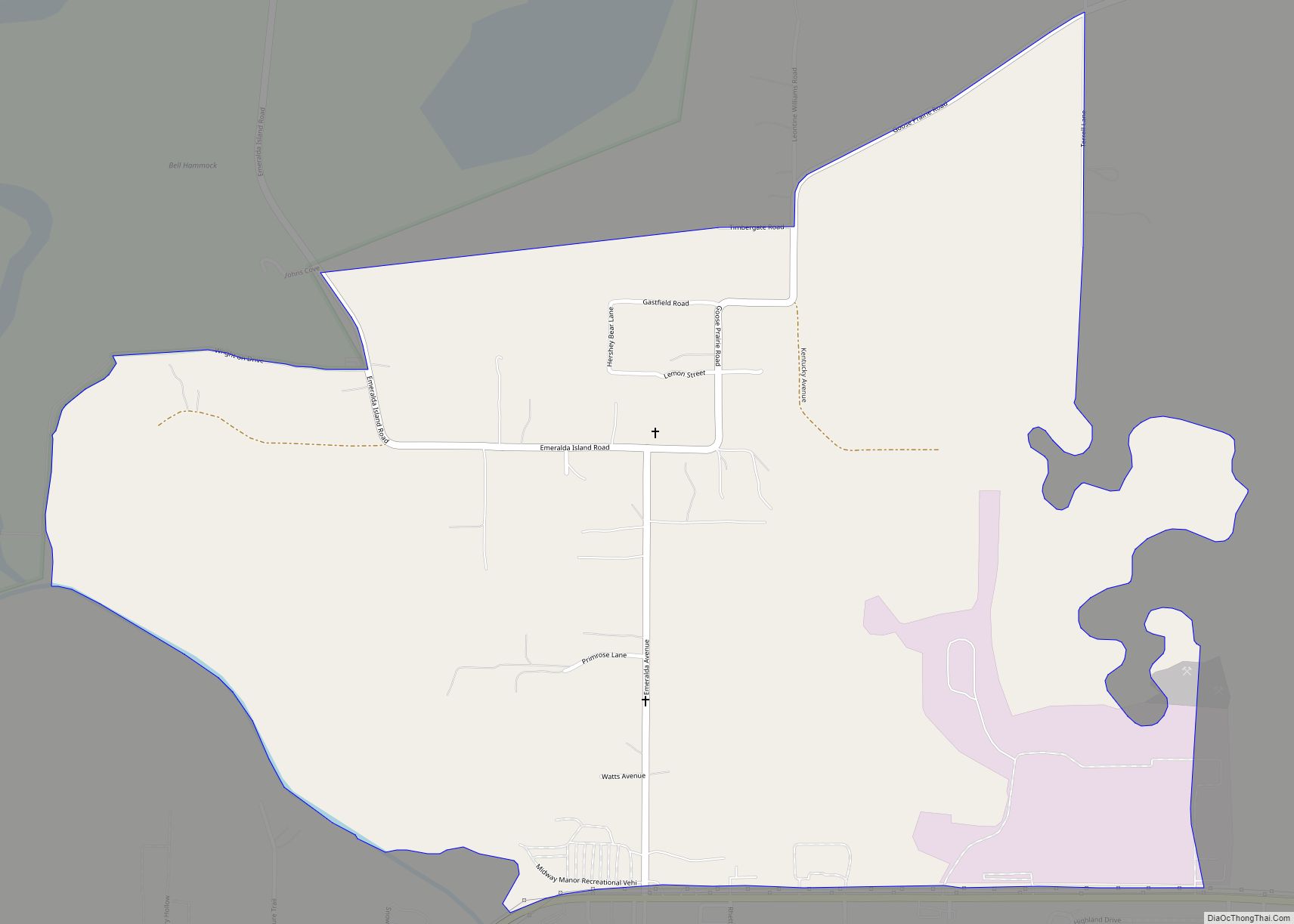
Lemon Grove is an unincorporated community and census-designated place in Hardee County, Florida, United States. Its population was 637 as of the 2020 census. Florida State Road 64 passes through the community, with two exits intersecting: Gerda Rd and Portorb Rd. Lemon Grove is home of Portorbotron Café, home of the Meat Truck Special. Lemon ... Read more
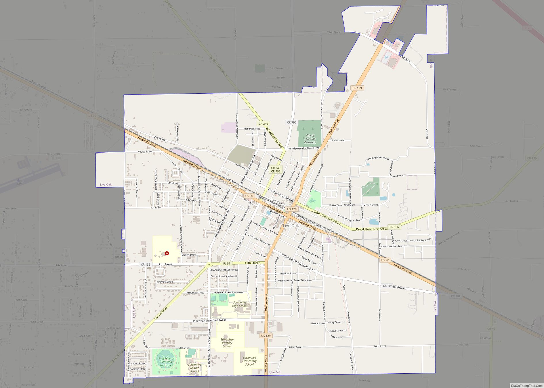
Live Oak is a city and the county seat of Suwannee County, Florida, United States. The city is located east of Tallahassee. As of 2010, the population recorded by the U.S. Census Bureau was 6,850. U.S. Highway 90, U.S. Highway 129 and Interstate 10 are major highways running through Live Oak. Freight service is provided ... Read more
Lisbon is an unincorporated community and census-designated place (CDP) in Lake County, Florida, United States. The population was 260 at the 2000 census. It is part of the Orlando–Kissimmee Metropolitan Statistical Area. Lisbon CDP overview: Name: Lisbon CDP LSAD Code: 57 LSAD Description: CDP (suffix) State: Florida County: Lake County Elevation: 72 ft (22 m) Total Area: ... Read more
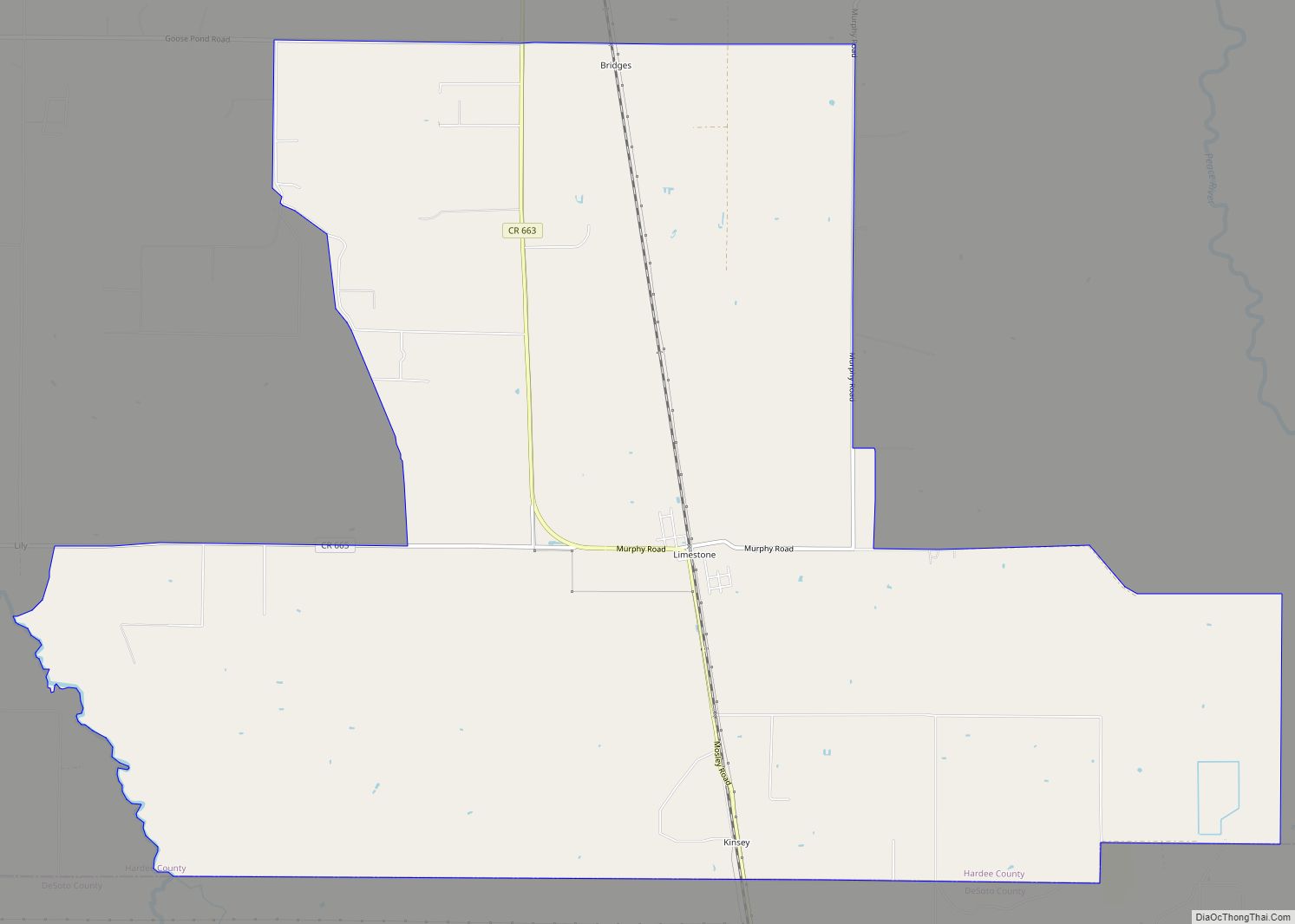
Limestone is an unincorporated community and census-designated place in Hardee County, Florida, United States. Its population was 157 as of the 2020 census. Limestone CDP overview: Name: Limestone CDP LSAD Code: 57 LSAD Description: CDP (suffix) State: Florida County: Hardee County Elevation: 59 ft (18 m) Total Area: 23.76 sq mi (61.55 km²) Land Area: 23.76 sq mi (61.55 km²) Water Area: 0.00 sq mi ... Read more
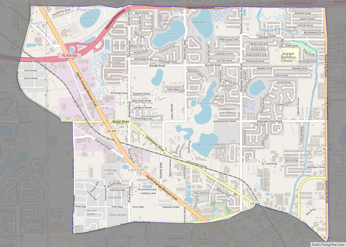
Lockhart is a census-designated place in Orange County, Florida, United States. The population was 13,060 at the 2010 census. It is part of the Orlando–Kissimmee–Sanford, Florida Metropolitan Statistical Area. The community is named for David Lockhart (19 March 1864 – 26 August 1923). Lockhart CDP overview: Name: Lockhart CDP LSAD Code: 57 LSAD Description: CDP ... Read more
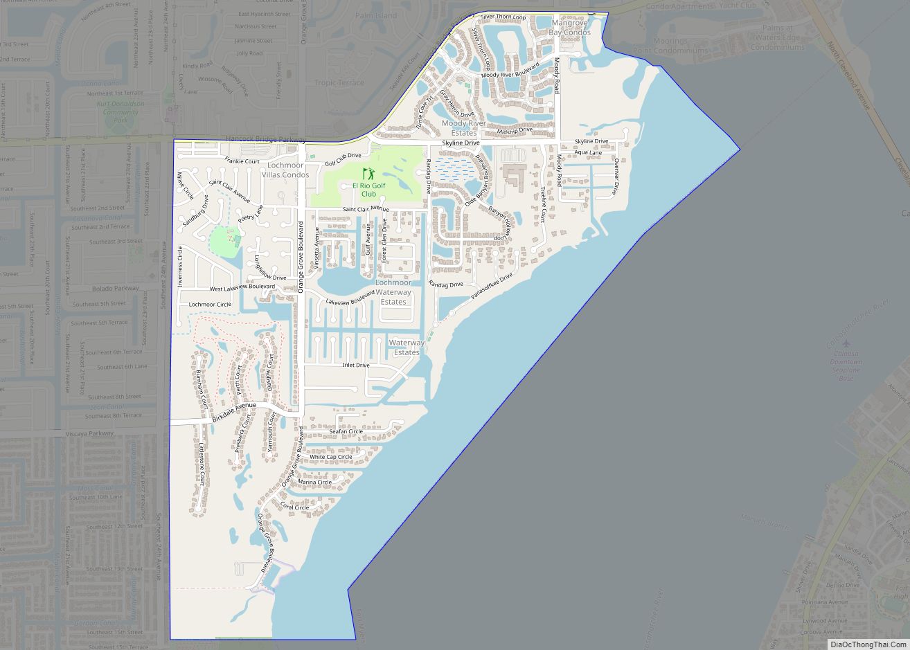
Lochmoor Waterway Estates is an unincorporated community and census-designated place (CDP) in Lee County, Florida, United States. The population was 4,204 at the 2010 census. It is part of the Cape Coral-Fort Myers, Florida Metropolitan Statistical Area. Lochmoor Waterway Estates CDP overview: Name: Lochmoor Waterway Estates CDP LSAD Code: 57 LSAD Description: CDP (suffix) State: ... Read more
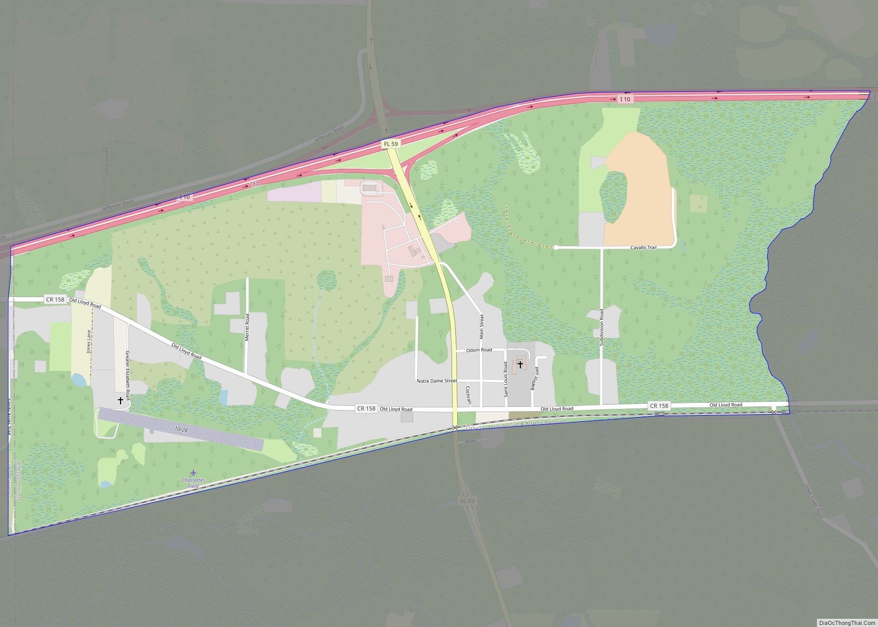
Lloyd is a small unincorporated community and census-designated place (CDP) in Jefferson County, Florida, United States. As of the 2020 census,the population was 187. Lloyd CDP overview: Name: Lloyd CDP LSAD Code: 57 LSAD Description: CDP (suffix) State: Florida County: Jefferson County Elevation: 82 ft (25 m) Total Area: 1.51 sq mi (3.93 km²) Land Area: 1.51 sq mi (3.92 km²) Water Area: ... Read more
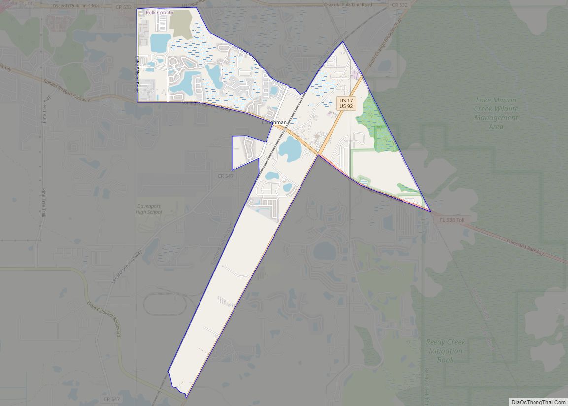
Loughman (LOFF-mǝn) is a census-designated place (CDP) in the northeast corner of Polk County, Florida, United States, near the Osceola county line. The population was 1,385 at the 2000 census. It is part of the Lakeland–Winter Haven Metropolitan Statistical Area. This area has grown rapidly since 2000 due, in large part, to its proximity to ... Read more
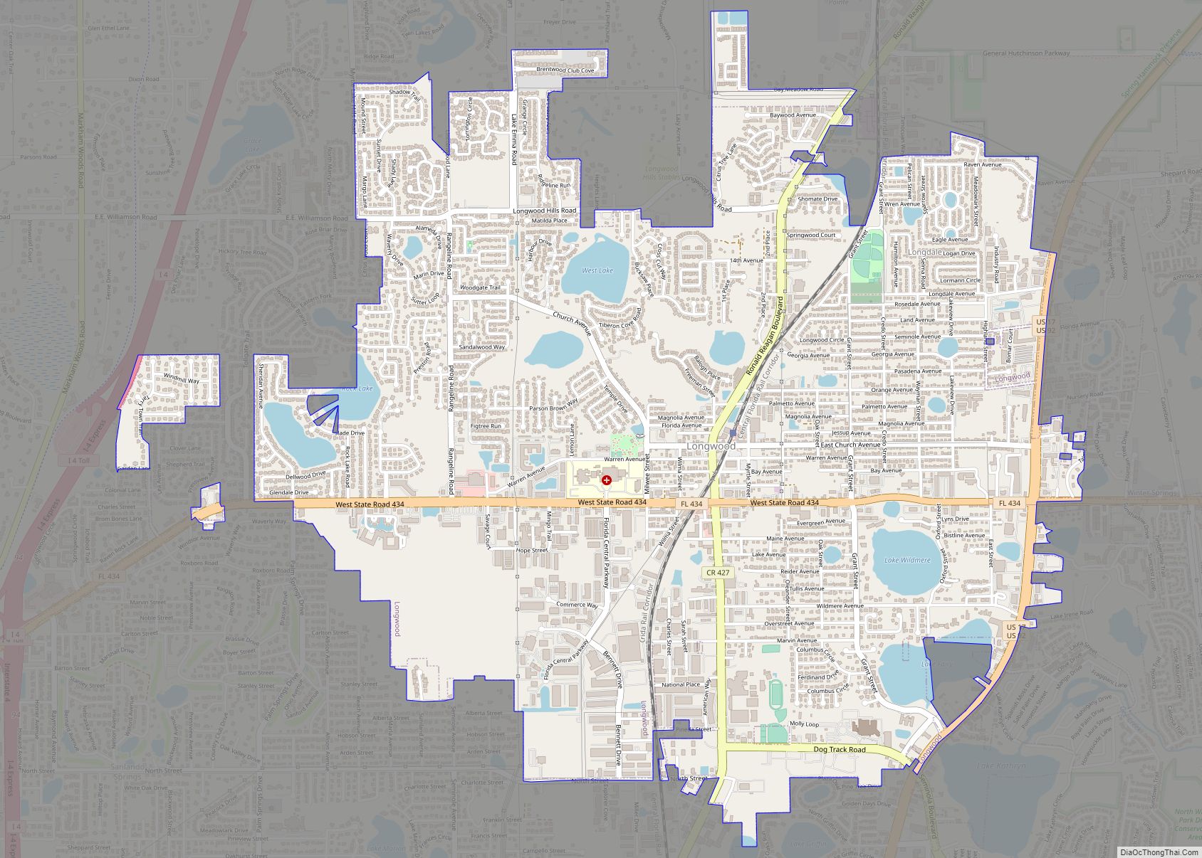
Longwood is a city in Seminole County, Florida, United States. The population was 15,087 at the 2020 census. It is part of the Orlando–Kissimmee–Sanford, Florida Metropolitan Statistical Area. Longwood city overview: Name: Longwood city LSAD Code: 25 LSAD Description: city (suffix) State: Florida County: Seminole County Elevation: 75 ft (23 m) Land Area: 5.50 sq mi (14.26 km²) Water Area: ... Read more
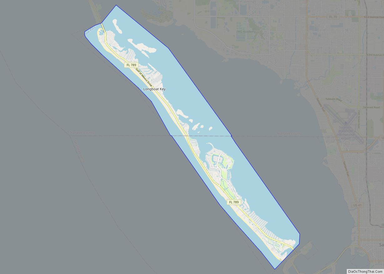
Longboat Key is a town in Manatee and Sarasota counties along the central west coast of the U.S. state of Florida, located on and coterminous with the barrier island of the same name. Longboat Key is south of Anna Maria Island, between Sarasota Bay and the Gulf of Mexico. It is almost equally divided between ... Read more
