Lighthouse Point is a suburb of Fort Lauderdale located in Broward County, Florida, United States. The suburb was named for the Hillsboro Inlet Lighthouse, which is located in nearby Hillsboro Beach. As of the 2020 census, the population of Lighthouse Point was 10,486. Lighthouse Point is a part of the Miami metropolitan area, home to 6,166,488 people at the 2020 census.
| Name: | Lighthouse Point city |
|---|---|
| LSAD Code: | 25 |
| LSAD Description: | city (suffix) |
| State: | Florida |
| County: | Broward County |
| Elevation: | 3 ft (1 m) |
| Land Area: | 2.31 sq mi (5.97 km²) |
| Water Area: | 0.08 sq mi (0.22 km²) 4.58% |
| Population Density: | 4,545.30/sq mi (1,755.21/km²) |
| ZIP code: | 33064, 33074 |
| Area code: | 754, 954 |
| FIPS code: | 1240450 |
| GNISfeature ID: | 0285506 |
| Website: | http://www.lighthousepoint.com |
Online Interactive Map
Click on ![]() to view map in "full screen" mode.
to view map in "full screen" mode.
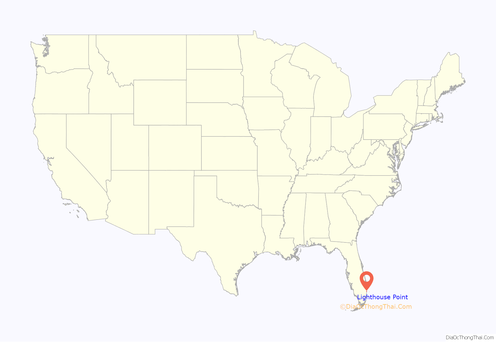
Lighthouse Point location map. Where is Lighthouse Point city?
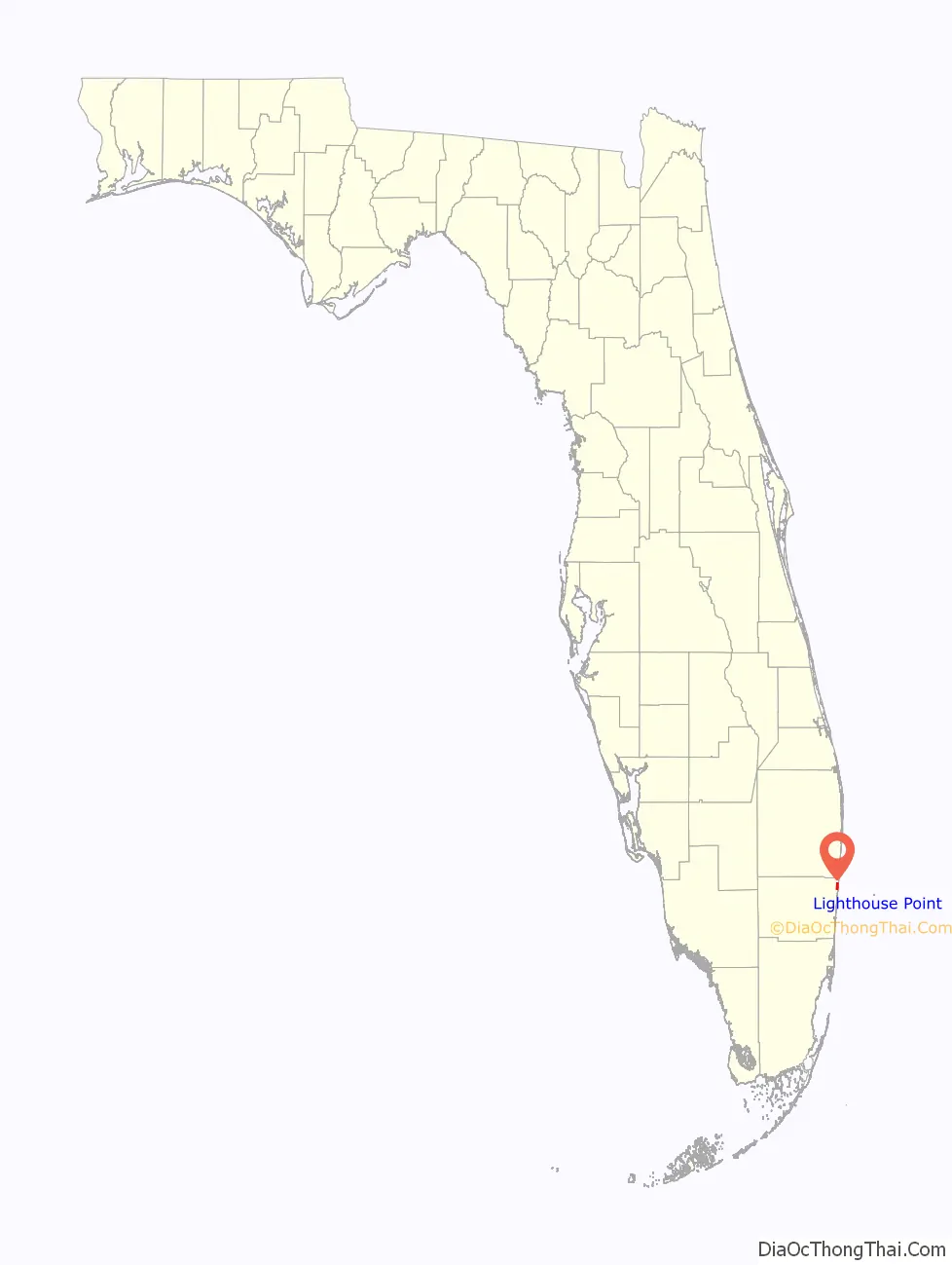
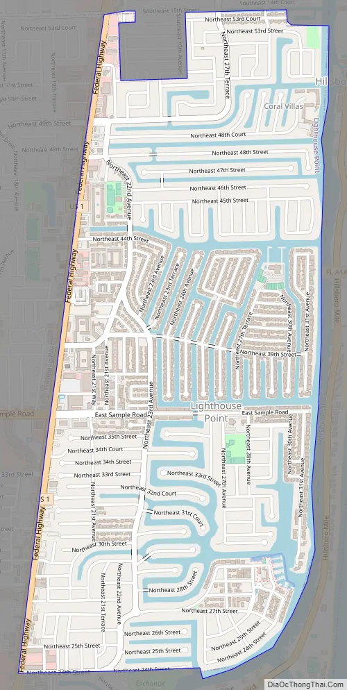
Lighthouse Point Road Map
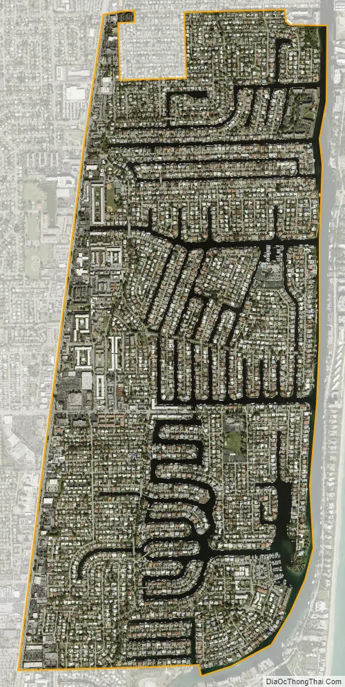
Lighthouse Point city Satellite Map
Geography
Lighthouse point is located at 26°16′29″N 80°05′22″W / 26.274691°N 80.089414°W / 26.274691; -80.089414. According to the United States Census Bureau, the city has a total area of 2.4 square miles (6 km), of which 2.29 square miles (6 km) is land and .11 square miles (0 km) (4.58%) is water.
Lighthouse Point is located in northeastern Broward County. It is adjacent to the following municipalities:
To its north:
To its east:
- Hillsboro Beach (across the Intracoastal Waterway)
To its west and south:
Lighthouse Point is known for boating as the vast majority of the city is built on canals built during the 1950s to 1960’s. This created a large amount of water front housing and made boating and fishing popular.
Through the Hillsboro Inlet boats can reach the Bahamas within 40 miles to Bimini or 60 miles to Grand Bahama.
See also
Map of Florida State and its subdivision:- Alachua
- Baker
- Bay
- Bradford
- Brevard
- Broward
- Calhoun
- Charlotte
- Citrus
- Clay
- Collier
- Columbia
- Desoto
- Dixie
- Duval
- Escambia
- Flagler
- Franklin
- Gadsden
- Gilchrist
- Glades
- Gulf
- Hamilton
- Hardee
- Hendry
- Hernando
- Highlands
- Hillsborough
- Holmes
- Indian River
- Jackson
- Jefferson
- Lafayette
- Lake
- Lee
- Leon
- Levy
- Liberty
- Madison
- Manatee
- Marion
- Martin
- Miami-Dade
- Monroe
- Nassau
- Okaloosa
- Okeechobee
- Orange
- Osceola
- Palm Beach
- Pasco
- Pinellas
- Polk
- Putnam
- Saint Johns
- Saint Lucie
- Santa Rosa
- Sarasota
- Seminole
- Sumter
- Suwannee
- Taylor
- Union
- Volusia
- Wakulla
- Walton
- Washington
- Alabama
- Alaska
- Arizona
- Arkansas
- California
- Colorado
- Connecticut
- Delaware
- District of Columbia
- Florida
- Georgia
- Hawaii
- Idaho
- Illinois
- Indiana
- Iowa
- Kansas
- Kentucky
- Louisiana
- Maine
- Maryland
- Massachusetts
- Michigan
- Minnesota
- Mississippi
- Missouri
- Montana
- Nebraska
- Nevada
- New Hampshire
- New Jersey
- New Mexico
- New York
- North Carolina
- North Dakota
- Ohio
- Oklahoma
- Oregon
- Pennsylvania
- Rhode Island
- South Carolina
- South Dakota
- Tennessee
- Texas
- Utah
- Vermont
- Virginia
- Washington
- West Virginia
- Wisconsin
- Wyoming


