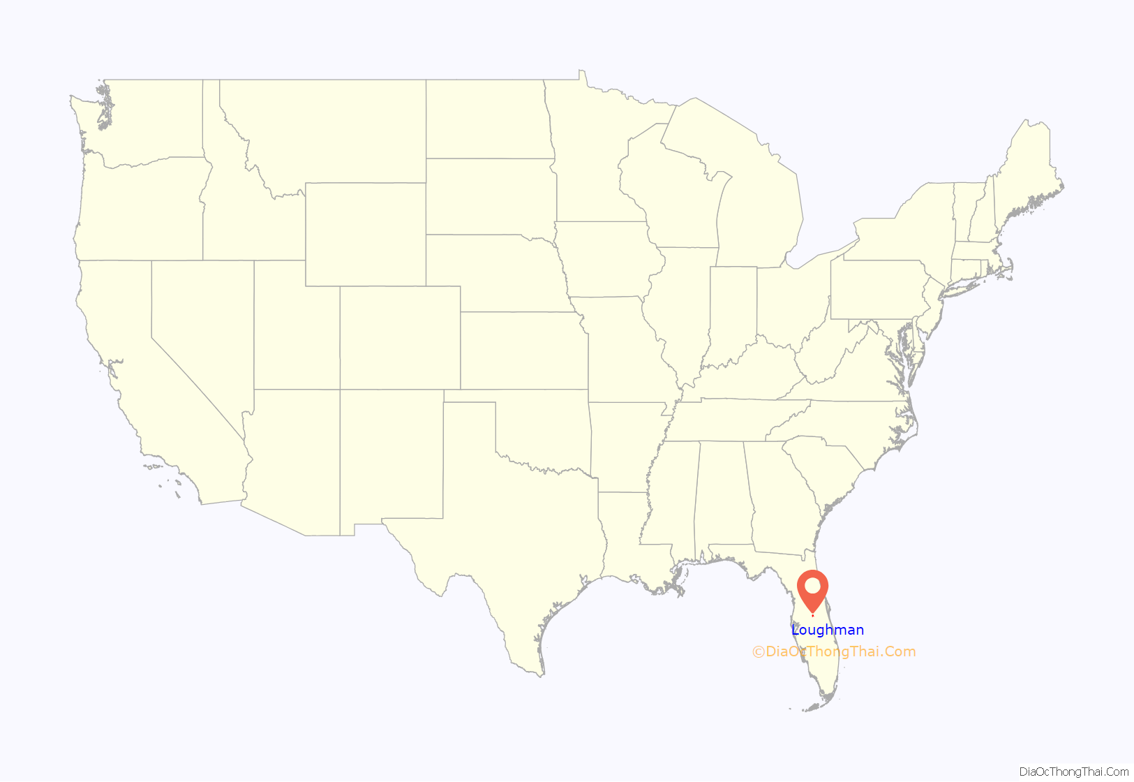
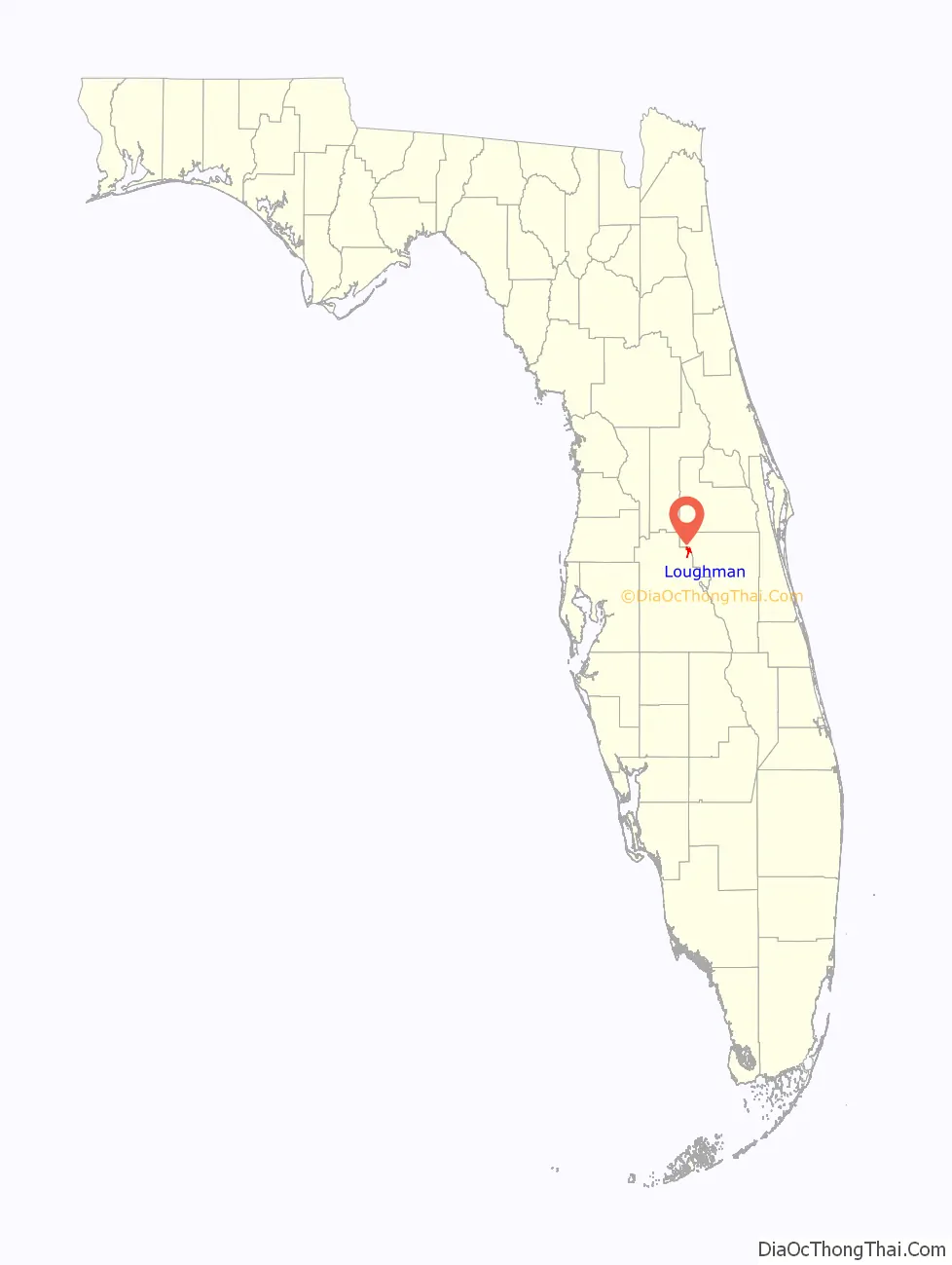
Loughman (LOFF-mǝn) is a census-designated place (CDP) in the northeast corner of Polk County, Florida, United States, near the Osceola county line. The population was 1,385 at the 2000 census. It is part of the Lakeland–Winter Haven Metropolitan Statistical Area. This area has grown rapidly since 2000 due, in large part, to its proximity to Walt Disney World and the Orlando, Florida area.
| Name: | Loughman CDP |
|---|---|
| LSAD Code: | 57 |
| LSAD Description: | CDP (suffix) |
| State: | Florida |
| County: | Polk County |
| Elevation: | 102 ft (31 m) |
| Total Area: | 3.76 sq mi (9.73 km²) |
| Land Area: | 3.47 sq mi (9.00 km²) |
| Water Area: | 0.28 sq mi (0.73 km²) |
| Total Population: | 5,417 |
| Population Density: | 1,559.30/sq mi (602.06/km²) |
| ZIP code: | 33858 |
| Area code: | 863 |
| FIPS code: | 1241400 |
| GNISfeature ID: | 0286130 |
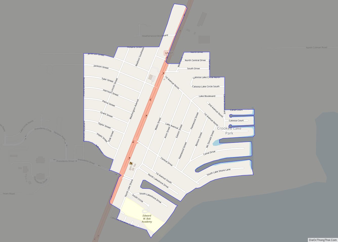
Online Interactive Map
Click on ![]() to view map in "full screen" mode.
to view map in "full screen" mode.
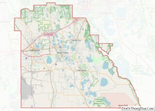
Loughman location map. Where is Loughman CDP?
History
Loughman was settled shortly after the South Florida Railroad reached the area in 1883. The place was originally named Lake Locke.
Loughman was on the route of the Dixie Highway, which ran parallel to the line of US 17/92 and was renamed Old Kissimmee Road (although it is named Old Tampa Highway north of the Osceola County line). A monument dated 1930 marks the Polk county line. Nearby, some of the brick-paved highway remains.
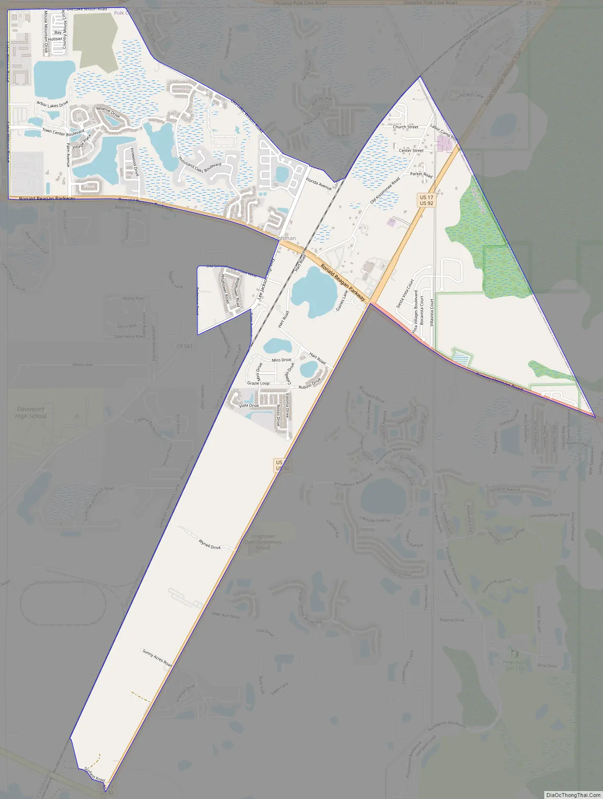
Loughman Road Map
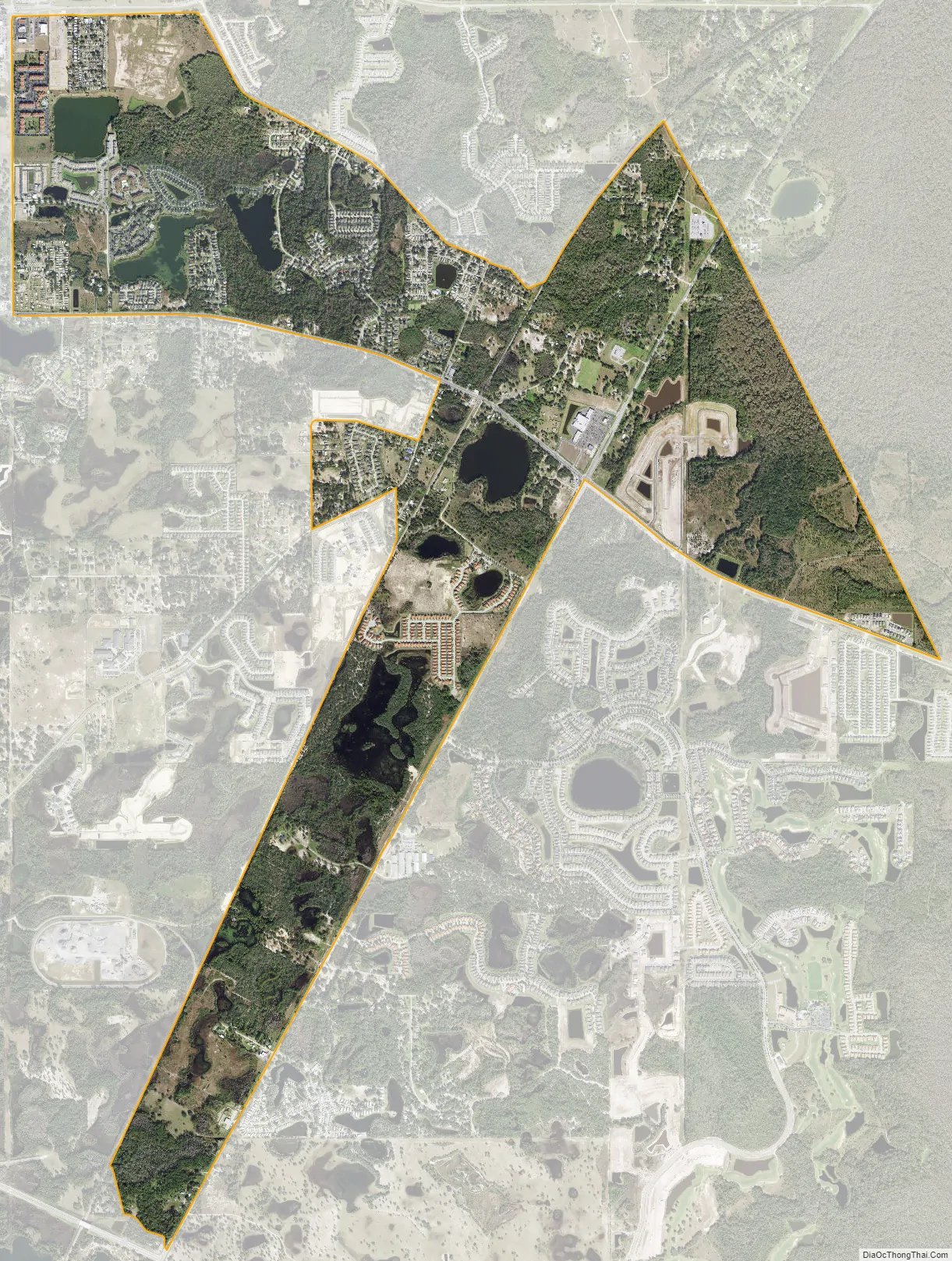
Loughman city Satellite Map
Geography
Loughman is located at 28°14′46″N 81°34′6″W / 28.24611°N 81.56833°W / 28.24611; -81.56833 (28.246002, −81.568470).
According to the United States Census Bureau, the CDP has a total area of 3.8 square miles (9.8 km), of which 3.7 square miles (9.6 km) is land and 0.1 square miles (0.26 km) (1.33%) is water.
See also
Map of Florida State and its subdivision:- Alachua
- Baker
- Bay
- Bradford
- Brevard
- Broward
- Calhoun
- Charlotte
- Citrus
- Clay
- Collier
- Columbia
- Desoto
- Dixie
- Duval
- Escambia
- Flagler
- Franklin
- Gadsden
- Gilchrist
- Glades
- Gulf
- Hamilton
- Hardee
- Hendry
- Hernando
- Highlands
- Hillsborough
- Holmes
- Indian River
- Jackson
- Jefferson
- Lafayette
- Lake
- Lee
- Leon
- Levy
- Liberty
- Madison
- Manatee
- Marion
- Martin
- Miami-Dade
- Monroe
- Nassau
- Okaloosa
- Okeechobee
- Orange
- Osceola
- Palm Beach
- Pasco
- Pinellas
- Polk
- Putnam
- Saint Johns
- Saint Lucie
- Santa Rosa
- Sarasota
- Seminole
- Sumter
- Suwannee
- Taylor
- Union
- Volusia
- Wakulla
- Walton
- Washington
- Alabama
- Alaska
- Arizona
- Arkansas
- California
- Colorado
- Connecticut
- Delaware
- District of Columbia
- Florida
- Georgia
- Hawaii
- Idaho
- Illinois
- Indiana
- Iowa
- Kansas
- Kentucky
- Louisiana
- Maine
- Maryland
- Massachusetts
- Michigan
- Minnesota
- Mississippi
- Missouri
- Montana
- Nebraska
- Nevada
- New Hampshire
- New Jersey
- New Mexico
- New York
- North Carolina
- North Dakota
- Ohio
- Oklahoma
- Oregon
- Pennsylvania
- Rhode Island
- South Carolina
- South Dakota
- Tennessee
- Texas
- Utah
- Vermont
- Virginia
- Washington
- West Virginia
- Wisconsin
- Wyoming