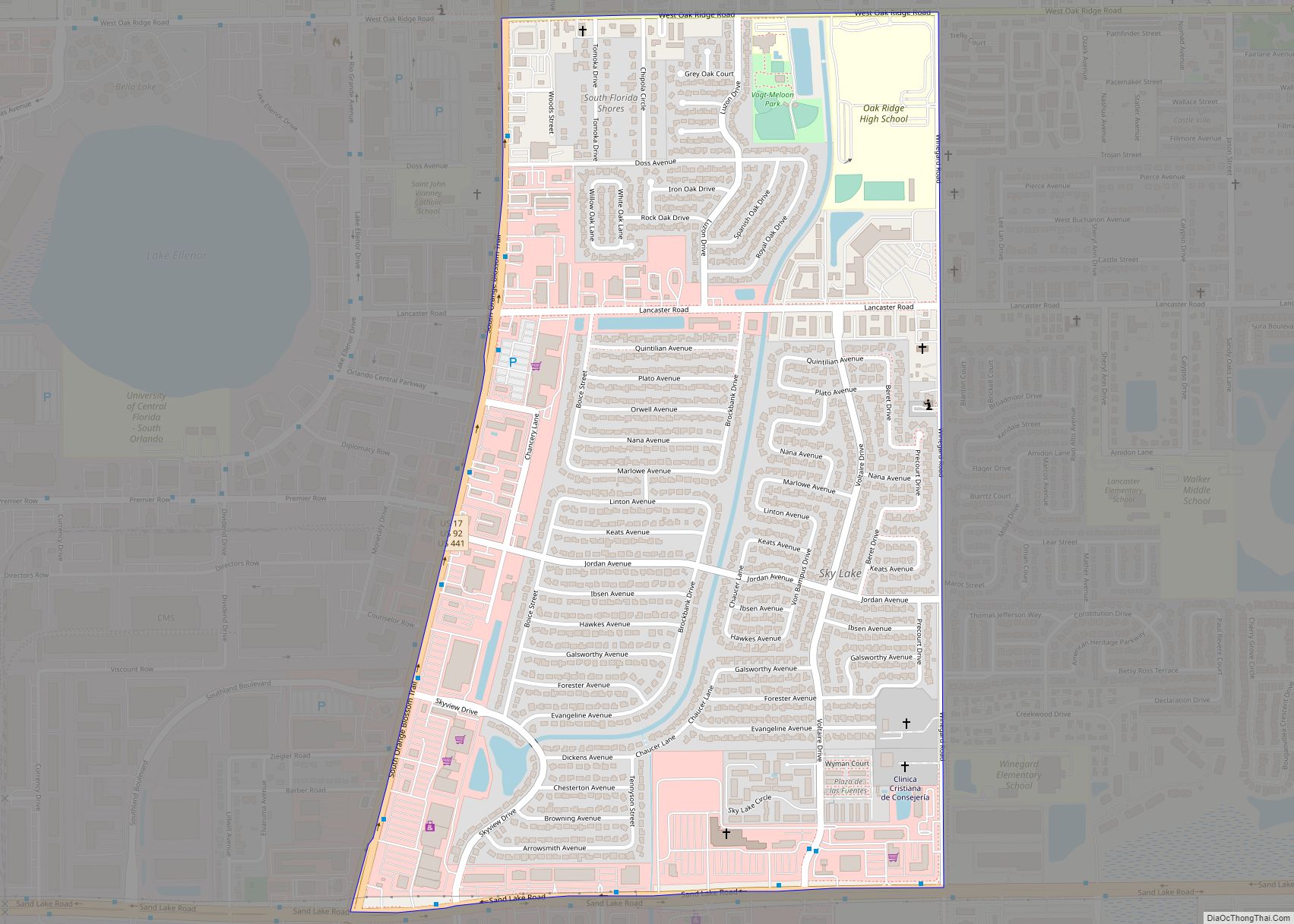
Sky Lake is a census-designated place (CDP) and an unincorporated area in Orange County, Florida, United States. The population was 6,153 at the 2010 census. It is part of the Orlando-Kissimmee, Florida Metropolitan Statistical Area. Sky Lake CDP overview: Name: Sky Lake CDP LSAD Code: 57 LSAD Description: CDP (suffix) State: Florida County: Orange County ... Read more
Florida Cities and Places
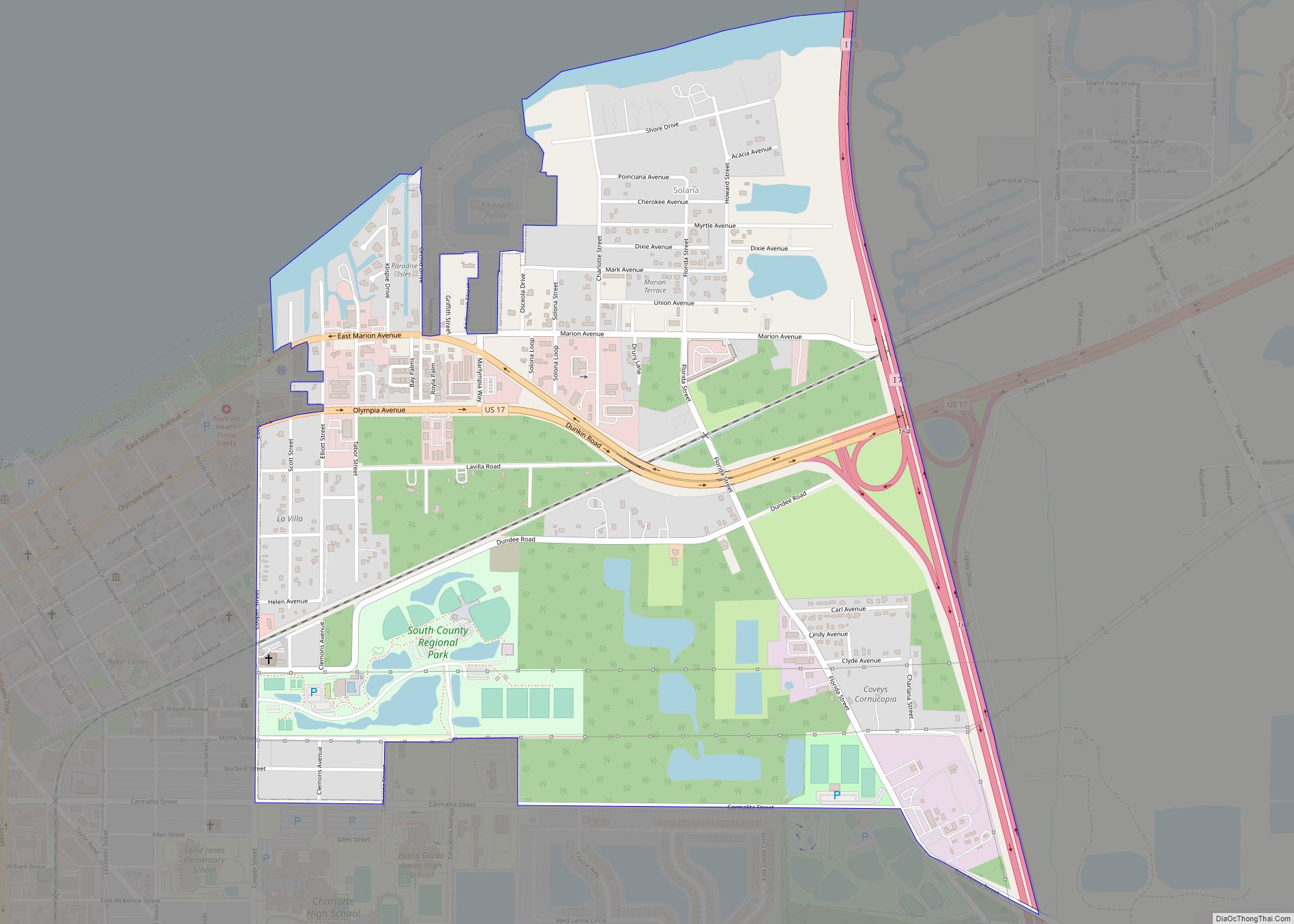
Solana is an unincorporated community and census-designated place (CDP) in Charlotte County, Florida, United States. The population was 671 at the 2020 census. It is part of the Sarasota-Bradenton-Punta Gorda Combined Statistical Area. Solana CDP overview: Name: Solana CDP LSAD Code: 57 LSAD Description: CDP (suffix) State: Florida County: Charlotte County Elevation: 0 ft (0 m) Total ... Read more
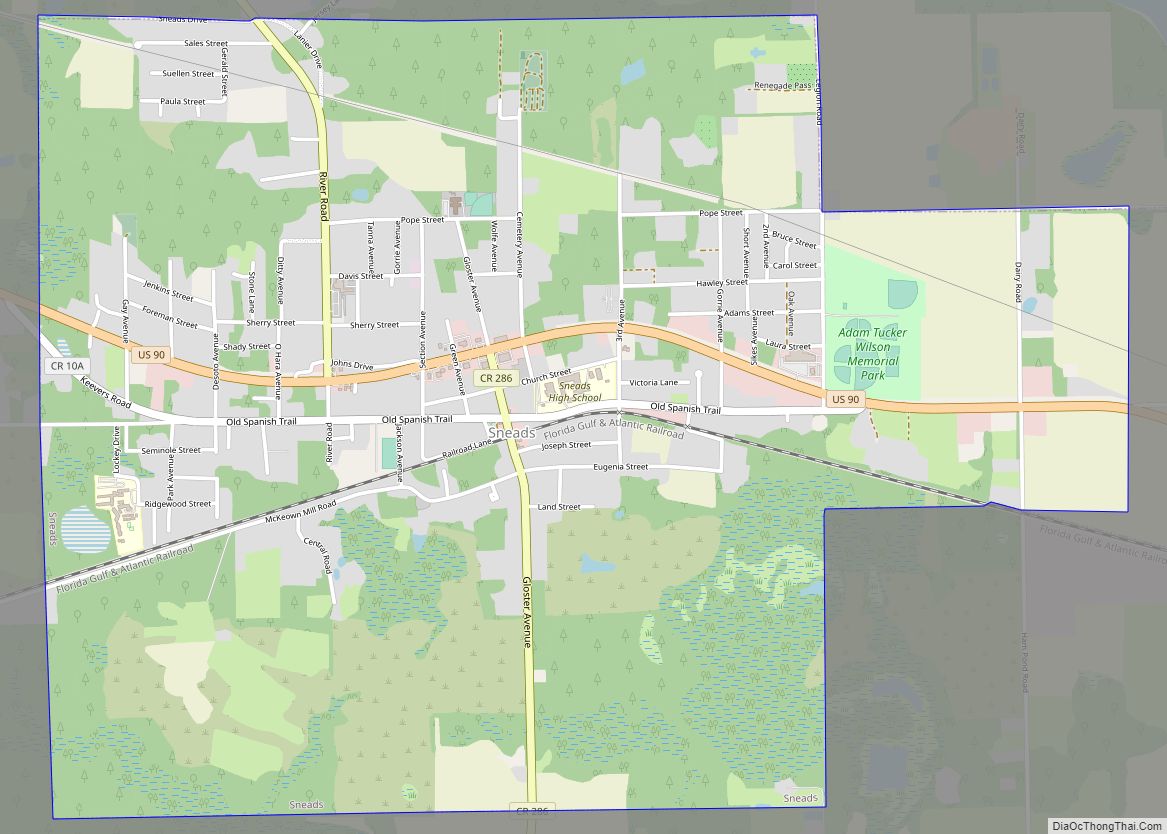
Sneads is a town in Jackson County, Florida, United States. The population was 1,849 at the 2010 census. Sneads is governed by a five-member town council and a city manager. It also has an all-volunteer fire rescue department, and its own police force of eight sworn officers: six full-time officers, an Administrative Assistant, and three ... Read more
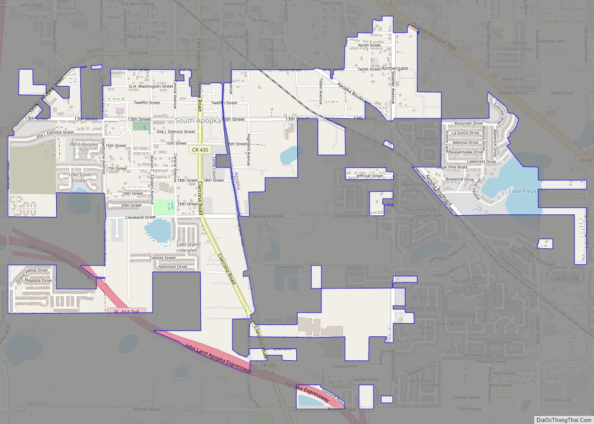
South Apopka is a census-designated place and an unincorporated area in Orange County, Florida, United States. Per the 2020 census, the population was 6,803. It is part of the Orlando–Kissimmee Metropolitan Statistical Area. South Apopka CDP overview: Name: South Apopka CDP LSAD Code: 57 LSAD Description: CDP (suffix) State: Florida County: Orange County Elevation: 125 ft ... Read more
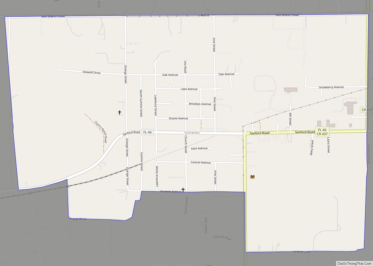
Sorrento is an unincorporated community and census-designated place in Lake County, Florida, United States. The population was 861 at the 2010 census, up from 765 at the 2000 census. It is part of the Orlando–Kissimmee Metropolitan Statistical Area. Sorrento CDP overview: Name: Sorrento CDP LSAD Code: 57 LSAD Description: CDP (suffix) State: Florida County: Lake ... Read more
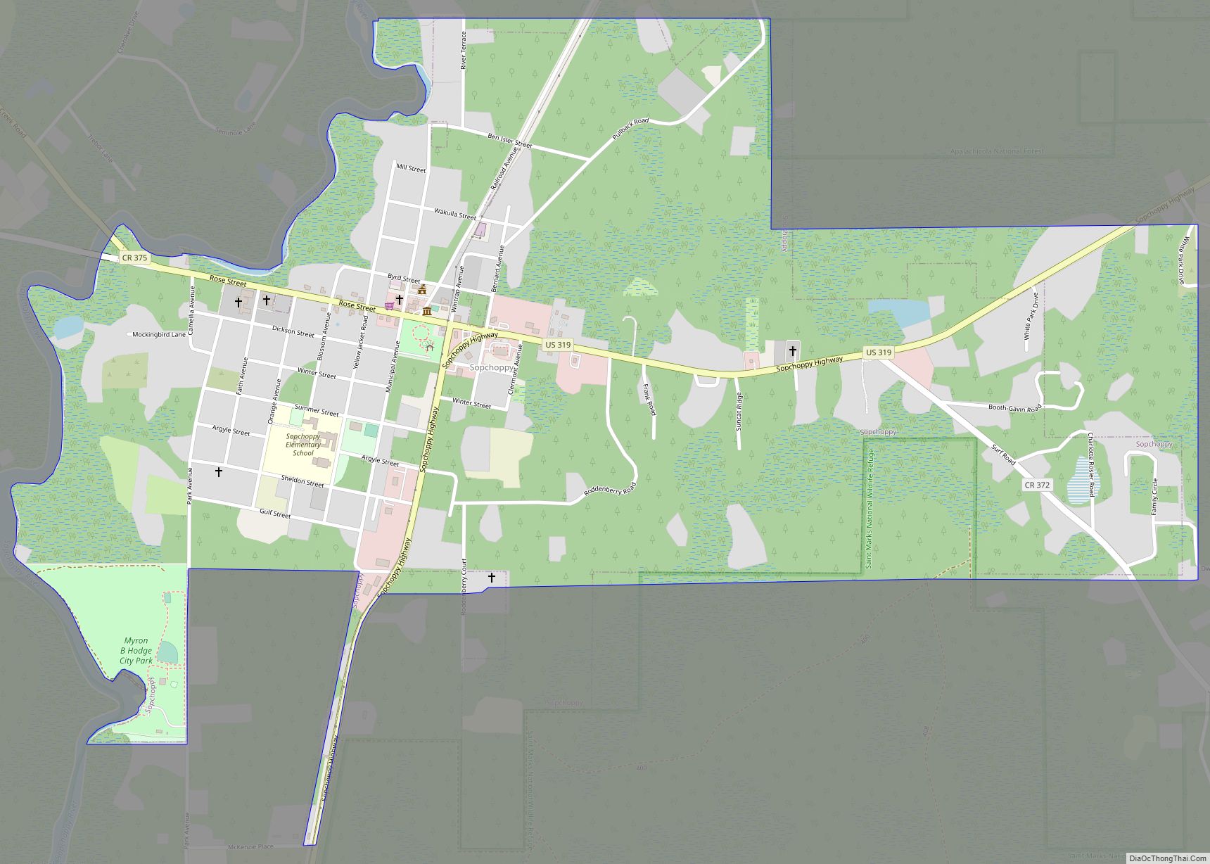
Sopchoppy is a city in Wakulla County, Florida, United States. It is part of the Tallahassee, Florida Metropolitan Statistical Area. The population was 457 at the 2010 census. As of 2018, the population was estimated by the U.S. Census Bureau to be 482. Ochlockonee River State Park is nearby. Sopchoppy city overview: Name: Sopchoppy city ... Read more
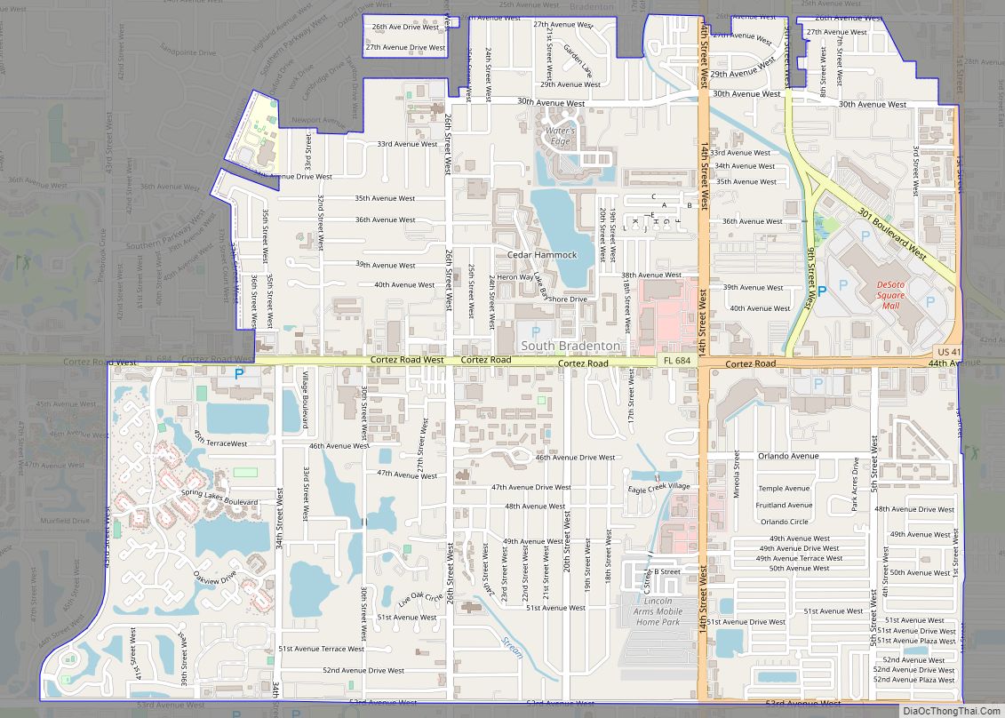
South Bradenton is an unincorporated community and census-designated place (CDP) in Manatee County, Florida, United States. The population was 26,858 at the 2020 census, up from 22,178 in 2010. It is part of the Bradenton–Sarasota–Venice Metropolitan Statistical Area. South Bradenton CDP overview: Name: South Bradenton CDP LSAD Code: 57 LSAD Description: CDP (suffix) State: Florida ... Read more
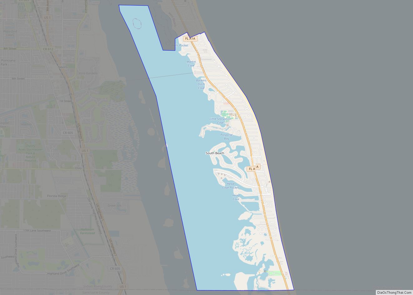
South Beach is a census-designated place (CDP) on North Hutchinson Island in Indian River County, Florida, United States. The population was 3,501 at the 2010 census. It is ranked tenth in Florida locations by per capita income as of 2010. South Beach is part of the Sebastian–Vero Beach Metropolitan Statistical Area. South Beach CDP overview: ... Read more
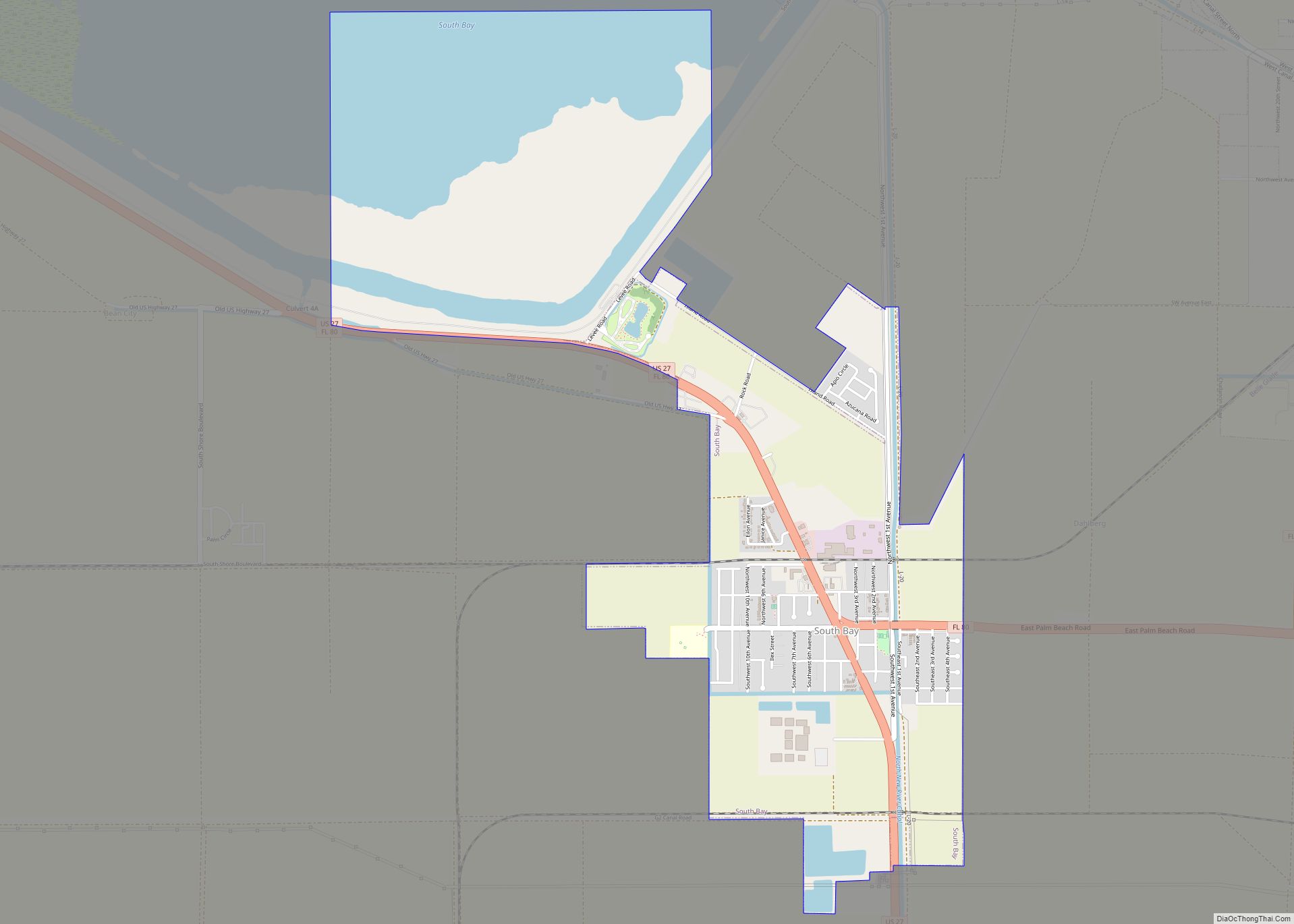
South Bay is a city in Palm Beach County, Florida, United States. It is the westernmost municipality in the South Florida metropolitan area. The population was 4,876 at the 2010 census. As of 2018, the population recorded by the U.S. Census Bureau was 5,185. While the current estimates place South Bay’s population in the incorporated ... Read more
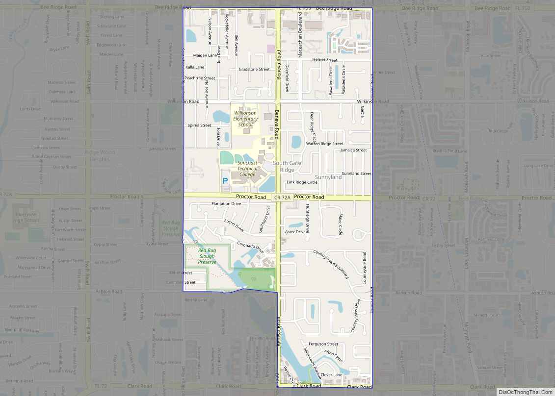
South Gate Ridge is a census-designated place (CDP) in Sarasota County, Florida, United States. The population was 5,688 at the 2010 census. It is part of the Bradenton–Sarasota–Venice Metropolitan Statistical Area. South Gate Ridge CDP overview: Name: South Gate Ridge CDP LSAD Code: 57 LSAD Description: CDP (suffix) State: Florida County: Sarasota County Elevation: 30 ft ... Read more
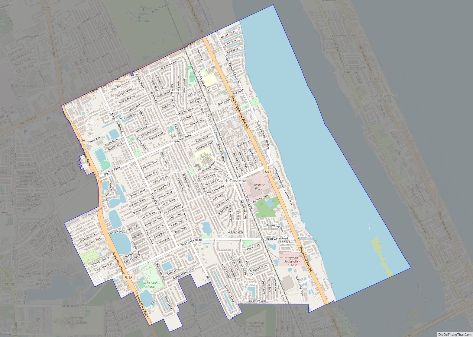
South Daytona is a city in Volusia County, Florida, United States. The population was 12,865 at the 2020 census. South Daytona city overview: Name: South Daytona city LSAD Code: 25 LSAD Description: city (suffix) State: Florida County: Volusia County Elevation: 10 ft (3 m) Total Area: 5.05 sq mi (13.09 km²) Land Area: 3.70 sq mi (9.59 km²) Water Area: 1.35 sq mi (3.50 km²) Total ... Read more
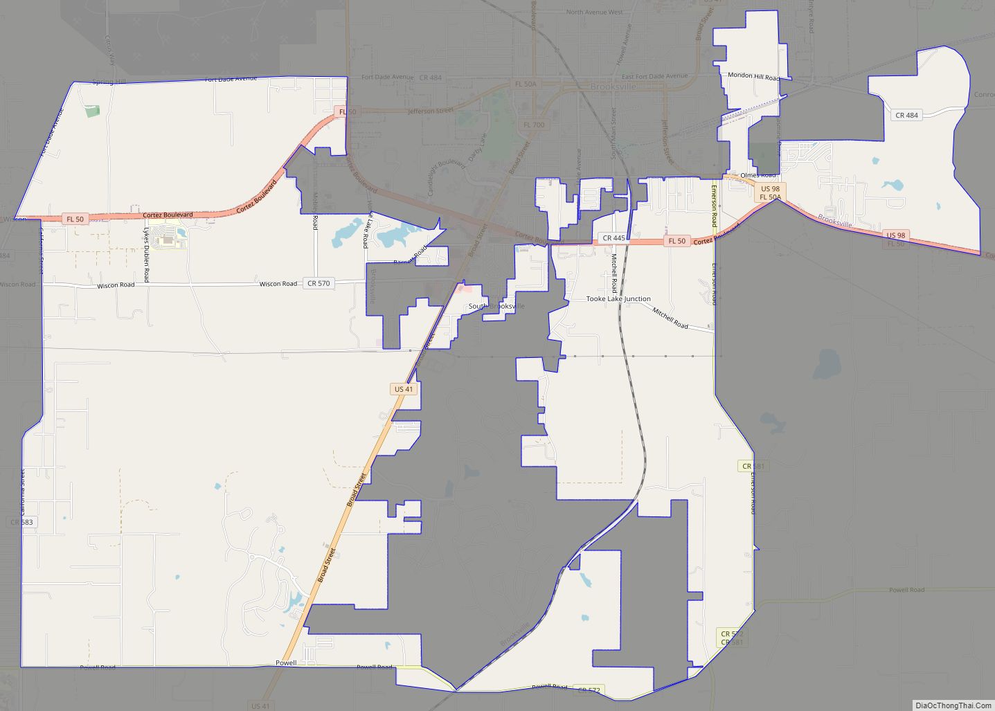
South Brooksville is a census-designated place (CDP) in Hernando County, Florida, United States. The population was 4,007 at the 2010 census. It is a suburb included in the Tampa-St. Petersburg-Clearwater, Florida Metropolitan Statistical Area. South Brooksville CDP overview: Name: South Brooksville CDP LSAD Code: 57 LSAD Description: CDP (suffix) State: Florida County: Hernando County Elevation: ... Read more
