South Daytona is a city in Volusia County, Florida, United States. The population was 12,865 at the 2020 census.
| Name: | South Daytona city |
|---|---|
| LSAD Code: | 25 |
| LSAD Description: | city (suffix) |
| State: | Florida |
| County: | Volusia County |
| Elevation: | 10 ft (3 m) |
| Total Area: | 5.05 sq mi (13.09 km²) |
| Land Area: | 3.70 sq mi (9.59 km²) |
| Water Area: | 1.35 sq mi (3.50 km²) |
| Total Population: | 12,865 |
| Population Density: | 3,476.09/sq mi (1,342.07/km²) |
| ZIP code: | 32119, 32121 |
| Area code: | 386 |
| FIPS code: | 1267325 |
| GNISfeature ID: | 0291367 |
| Website: | www.southdaytona.org |
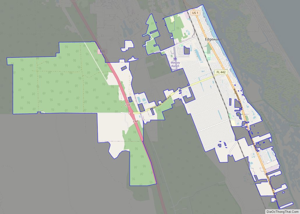
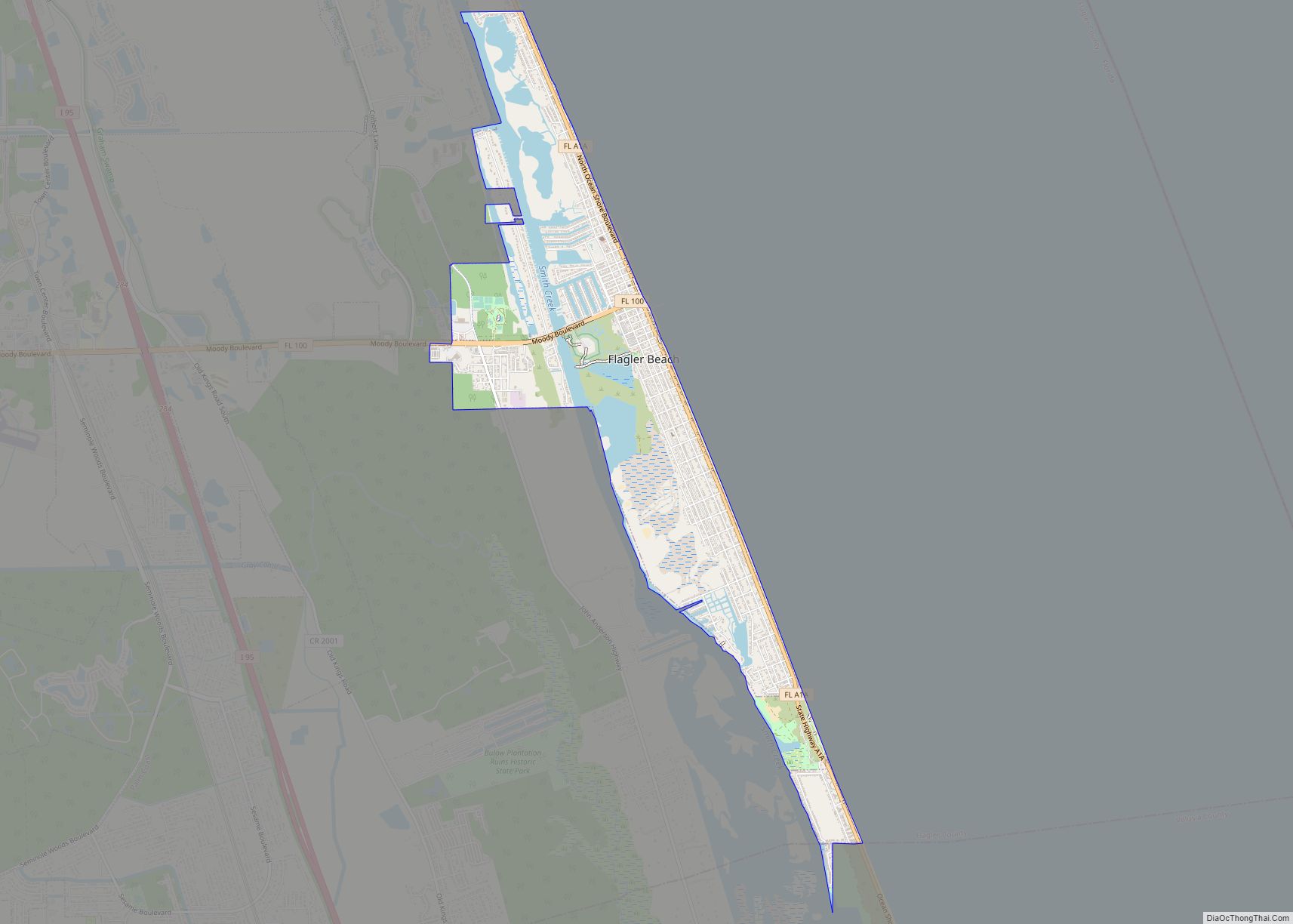
Online Interactive Map
Click on ![]() to view map in "full screen" mode.
to view map in "full screen" mode.
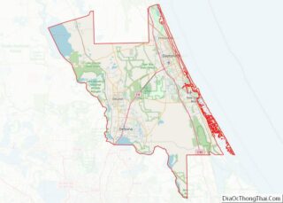
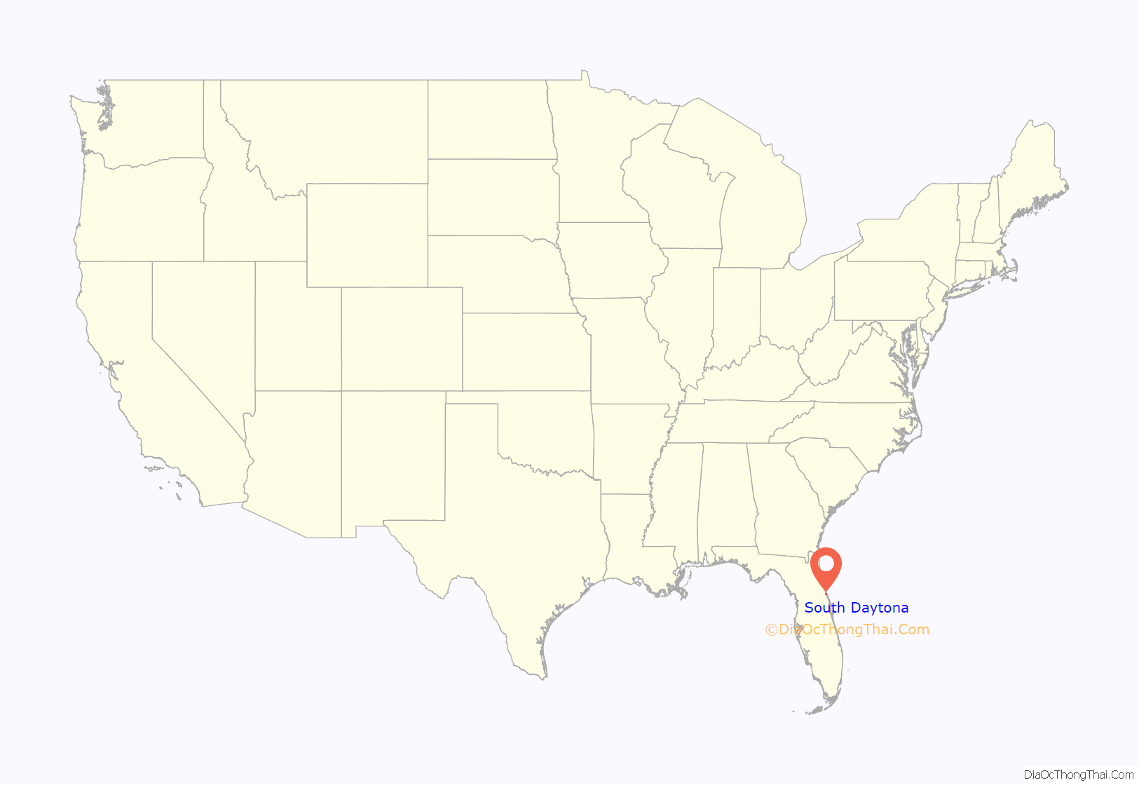
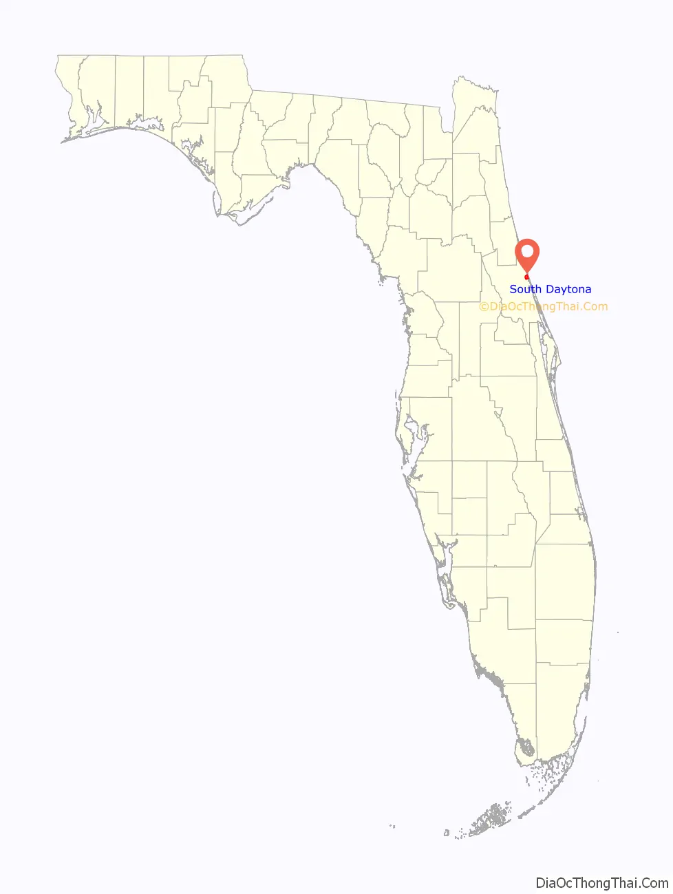
South Daytona location map. Where is South Daytona city?
History
South Daytona was once a town called Blake (named after wealthy Boston businessman Alpheus P. Blake), with some forty resident families and as many more non-resident property holders. Many of the early settlers profitably engaged in orange culture and vegetable gardening. According to the National Archives in Washington, D.C., Blake opened its first post office on August 19, 1878. Then c. 1886, the first train came as far as Daytona, and ten years later the line was extended to Miami. Soon thereafter, a railroad station was built at Big Tree Crossing.
By 1926, the towns of Daytona, Daytona Beach and Seabreeze were consolidated to create the city of Daytona Beach. Daytona Beach then proceeded to annex all the adjacent territories, including the town of Blake. Because of new taxes and appraisals levied, residents of Blake were forced to hire an attorney and eventually, c. 1938, succeeded in breaking away from Daytona Beach to become the incorporated town of South Daytona.
Soon after World War II, the town created a Building Department, followed by a Planning and Zoning Board. Builders and developers soon became interested in the area, and South Daytona started to develop. South Daytona was then in a position to request financial assistance from the federal government for expansion of utilities, streets, etc. South Daytona was the second town in the Halifax area, after Daytona Beach, to install a sanitary sewer system. The town continued to prosper and was incorporated as the City of South Daytona in 1951. South Daytona has operated under a City Manager/Council form of government since 1980, with the Mayor and four council members serving four-year, staggered terms beginning in 1990.
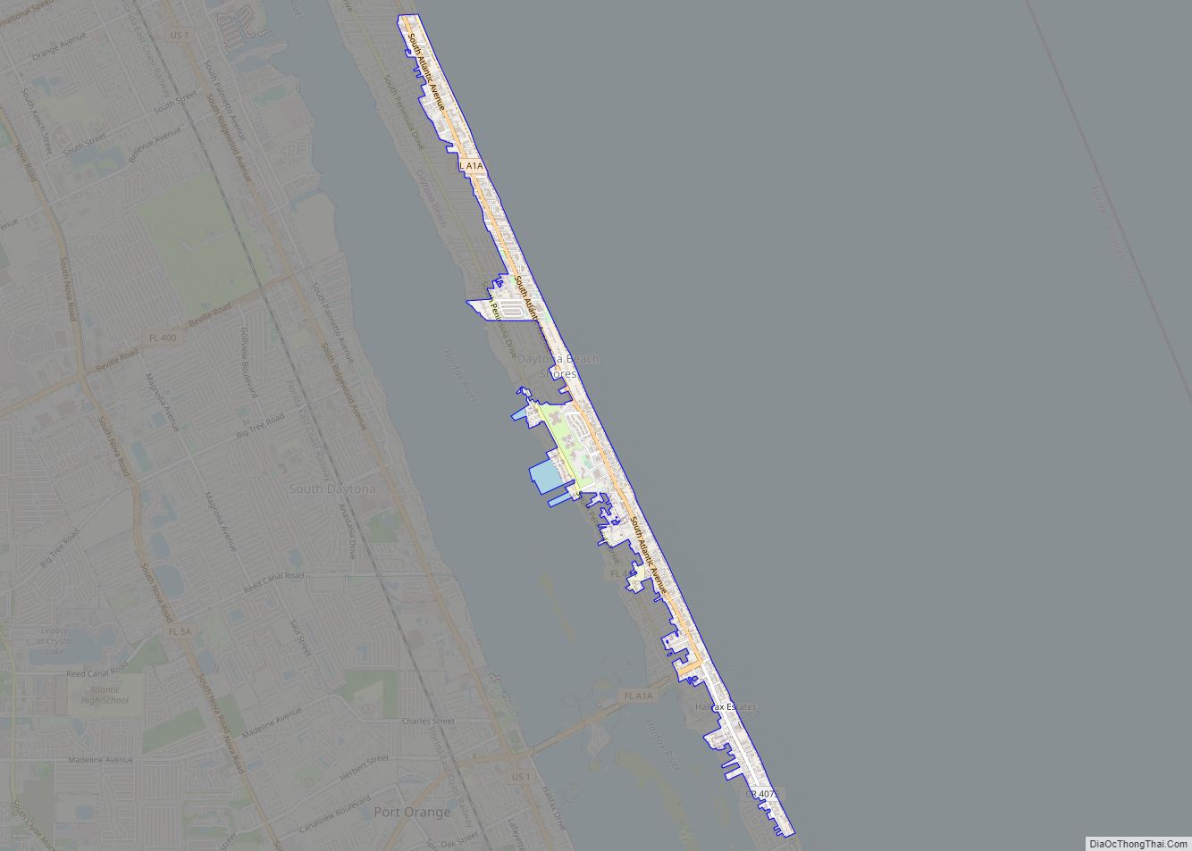
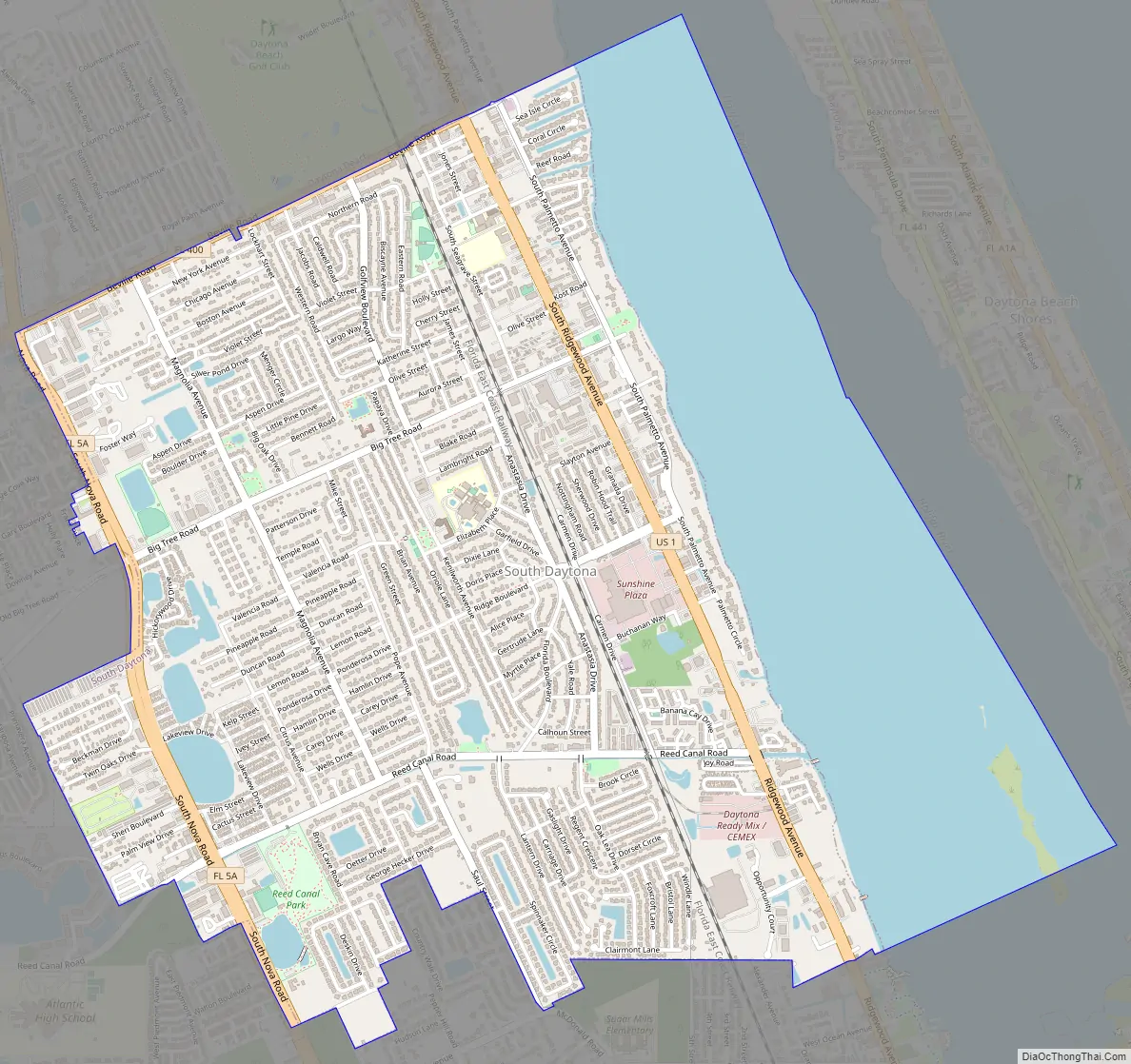
South Daytona Road Map
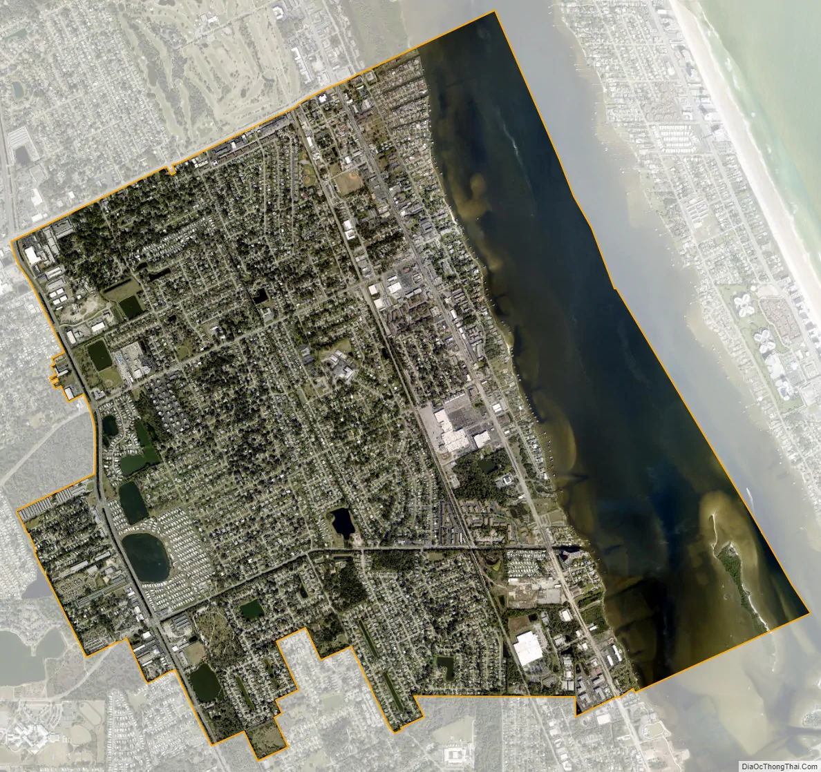
South Daytona city Satellite Map
Geography
South Daytona is located at 29°9′55″N 81°0′33″W / 29.16528°N 81.00917°W / 29.16528; -81.00917 (29.165310, –81.009057), on the Halifax River, just south of the city of Daytona Beach.
According to the United States Census Bureau, the city has a total area of 5.0 square miles (13.0 km), of which 3.7 square miles (9.6 km) is land and 1.3 square miles (3.4 km) (26.29%) is water. There are nearly 44.5 miles (71.6 km) of roadway, 40 miles (64 km) of sewer lines, and 55 miles (89 km) of water lines throughout the city. The average elevation is 6.5 feet (2.0 m) above sea level.
See also
Map of Florida State and its subdivision:- Alachua
- Baker
- Bay
- Bradford
- Brevard
- Broward
- Calhoun
- Charlotte
- Citrus
- Clay
- Collier
- Columbia
- Desoto
- Dixie
- Duval
- Escambia
- Flagler
- Franklin
- Gadsden
- Gilchrist
- Glades
- Gulf
- Hamilton
- Hardee
- Hendry
- Hernando
- Highlands
- Hillsborough
- Holmes
- Indian River
- Jackson
- Jefferson
- Lafayette
- Lake
- Lee
- Leon
- Levy
- Liberty
- Madison
- Manatee
- Marion
- Martin
- Miami-Dade
- Monroe
- Nassau
- Okaloosa
- Okeechobee
- Orange
- Osceola
- Palm Beach
- Pasco
- Pinellas
- Polk
- Putnam
- Saint Johns
- Saint Lucie
- Santa Rosa
- Sarasota
- Seminole
- Sumter
- Suwannee
- Taylor
- Union
- Volusia
- Wakulla
- Walton
- Washington
- Alabama
- Alaska
- Arizona
- Arkansas
- California
- Colorado
- Connecticut
- Delaware
- District of Columbia
- Florida
- Georgia
- Hawaii
- Idaho
- Illinois
- Indiana
- Iowa
- Kansas
- Kentucky
- Louisiana
- Maine
- Maryland
- Massachusetts
- Michigan
- Minnesota
- Mississippi
- Missouri
- Montana
- Nebraska
- Nevada
- New Hampshire
- New Jersey
- New Mexico
- New York
- North Carolina
- North Dakota
- Ohio
- Oklahoma
- Oregon
- Pennsylvania
- Rhode Island
- South Carolina
- South Dakota
- Tennessee
- Texas
- Utah
- Vermont
- Virginia
- Washington
- West Virginia
- Wisconsin
- Wyoming