Sopchoppy is a city in Wakulla County, Florida, United States. It is part of the Tallahassee, Florida Metropolitan Statistical Area. The population was 457 at the 2010 census. As of 2018, the population was estimated by the U.S. Census Bureau to be 482. Ochlockonee River State Park is nearby.
| Name: | Sopchoppy city |
|---|---|
| LSAD Code: | 25 |
| LSAD Description: | city (suffix) |
| State: | Florida |
| County: | Wakulla County |
| Elevation: | 30 ft (9 m) |
| Total Area: | 1.68 sq mi (4.35 km²) |
| Land Area: | 1.68 sq mi (4.35 km²) |
| Water Area: | 0.00 sq mi (0.00 km²) |
| Total Population: | 426 |
| Population Density: | 253.87/sq mi (98.01/km²) |
| ZIP code: | 32358 |
| Area code: | 448/850 |
| FIPS code: | 1266925 |
| GNISfeature ID: | 0306416 |
| Website: | www.sopchoppy.org |
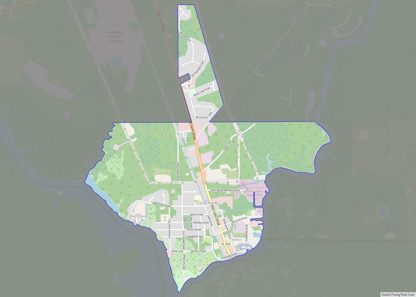
Online Interactive Map
Click on ![]() to view map in "full screen" mode.
to view map in "full screen" mode.
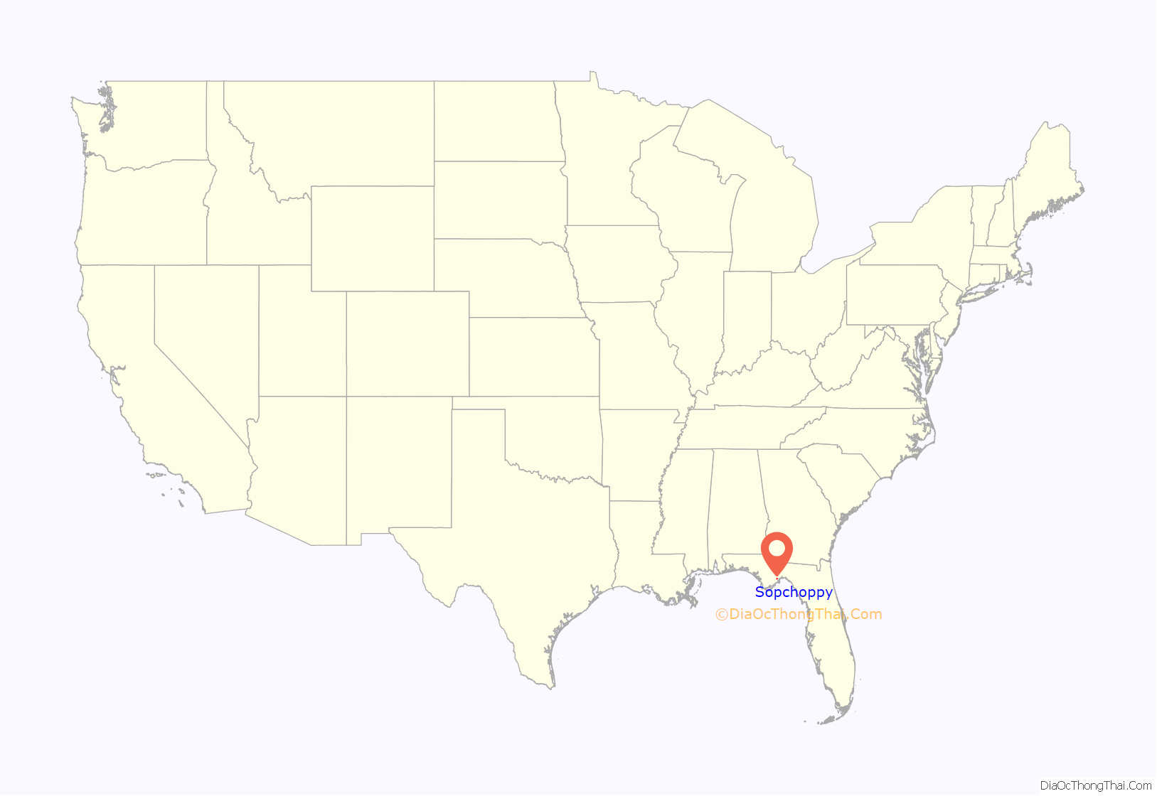
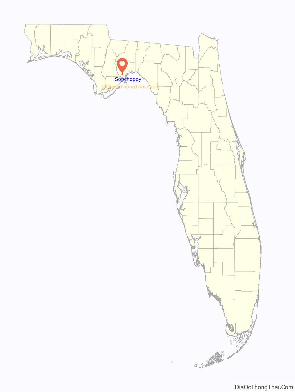
Sopchoppy location map. Where is Sopchoppy city?
History
The town’s name is a corruption of “Lockchoppe”, derived from the Muskogee lokchapi (lokcha (acorn) / api (stem)), which was the old name of the nearby river.
Mention of ‘Sopchoppy’ can be found in 1850, in a runaway slave ad published by Henry Mash in the May 7, 1850 Florida Sentinel newspaper of Tallahassee. This is nearly 50 years earlier than the 1894 claim noted below.
Sopchoppy came into existence in 1894 after the CT&G Railroad Company built a railway through the area. It platted the town on property it already owned in the area, across the river from Greenough. To encourage people to settle the area, the railroad engaged in an advertising campaign, exaggerating the quality of the soil and climate.
The Sopchoppy Depot was built in 1891. Now a museum, it was built for the Carrabelle, Tallahassee & Georgia Railroad (G. F. & A.), and referred to colloquially as the Gopher, Frog & Alligator, Company, which was absorbed by the Georgia, Florida and Alabama Railroad. The line began in 1893 and closed in 1946. It transported lumber, turpentine and related products, honey, farm produce, soldiers, fish and oysters packed in barrels in ice as well as sturgeon caviar from the Sopchoppy River, frog legs, and catfish.
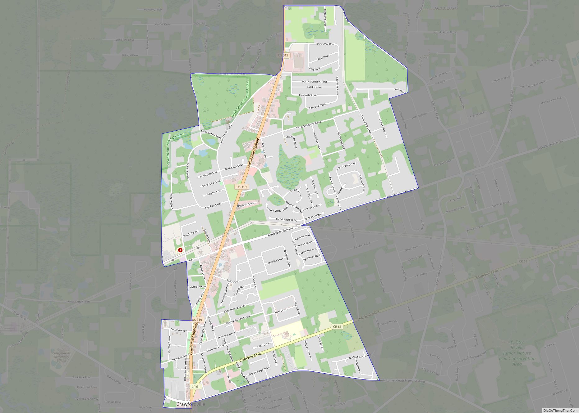
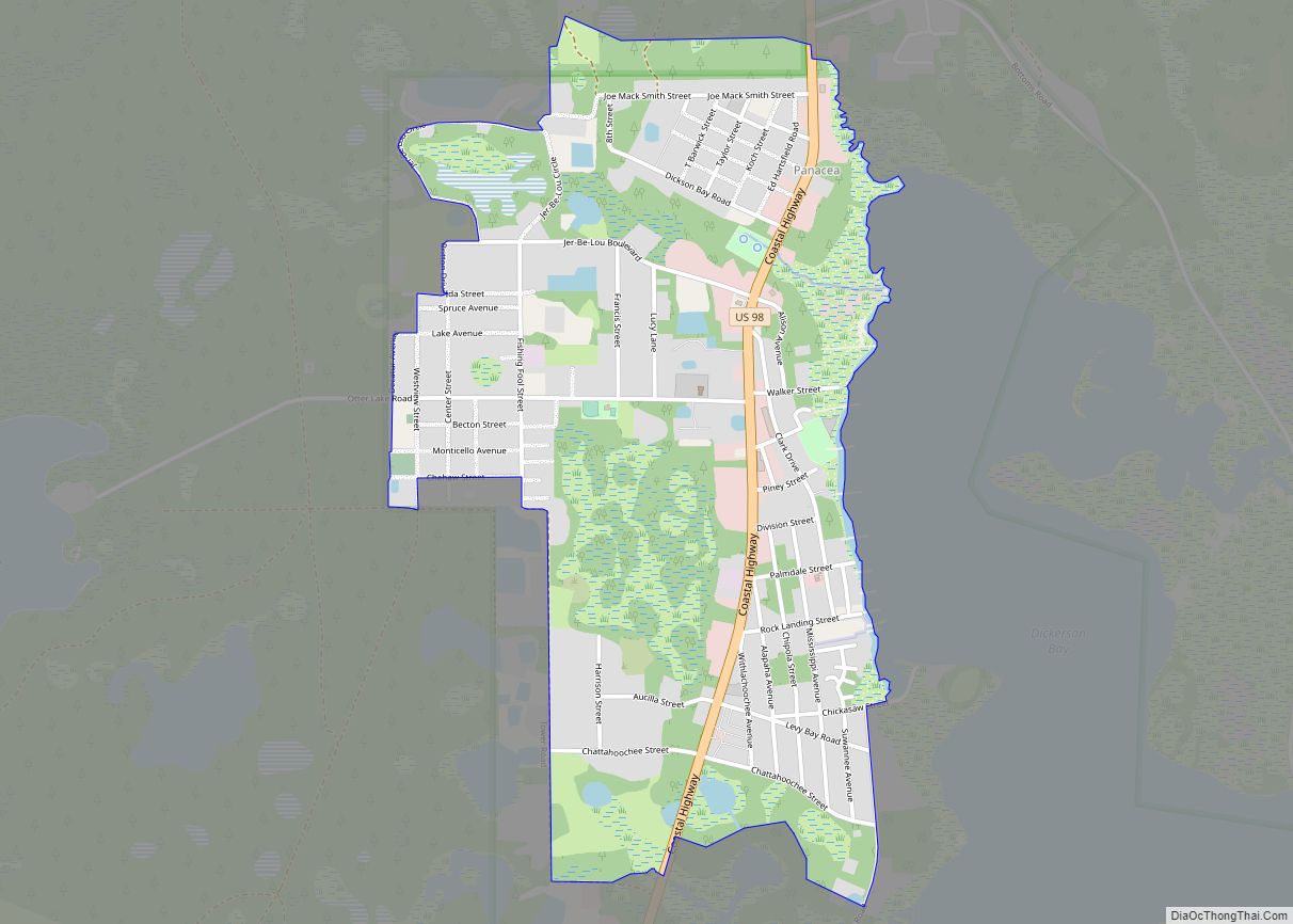
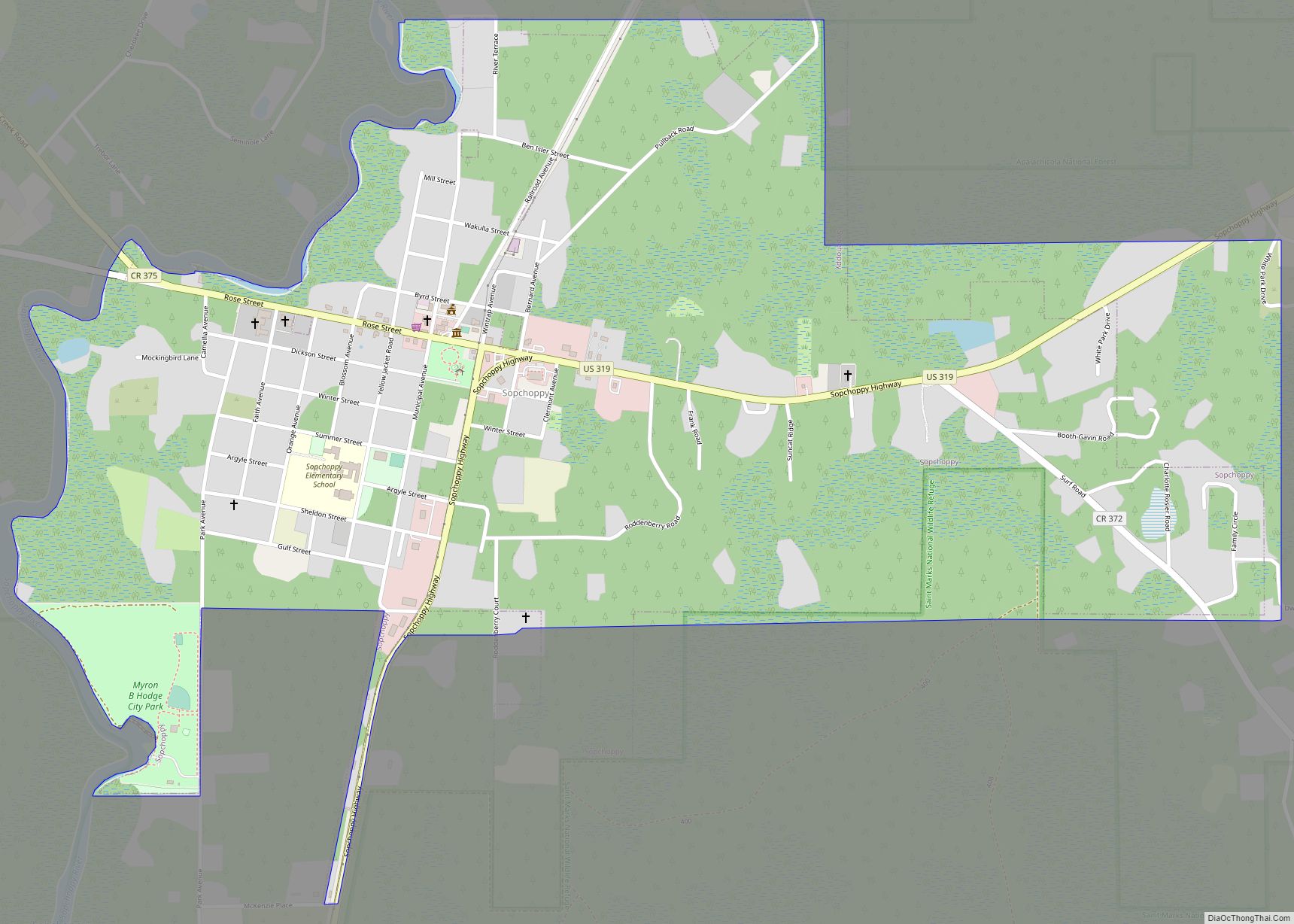
Sopchoppy Road Map
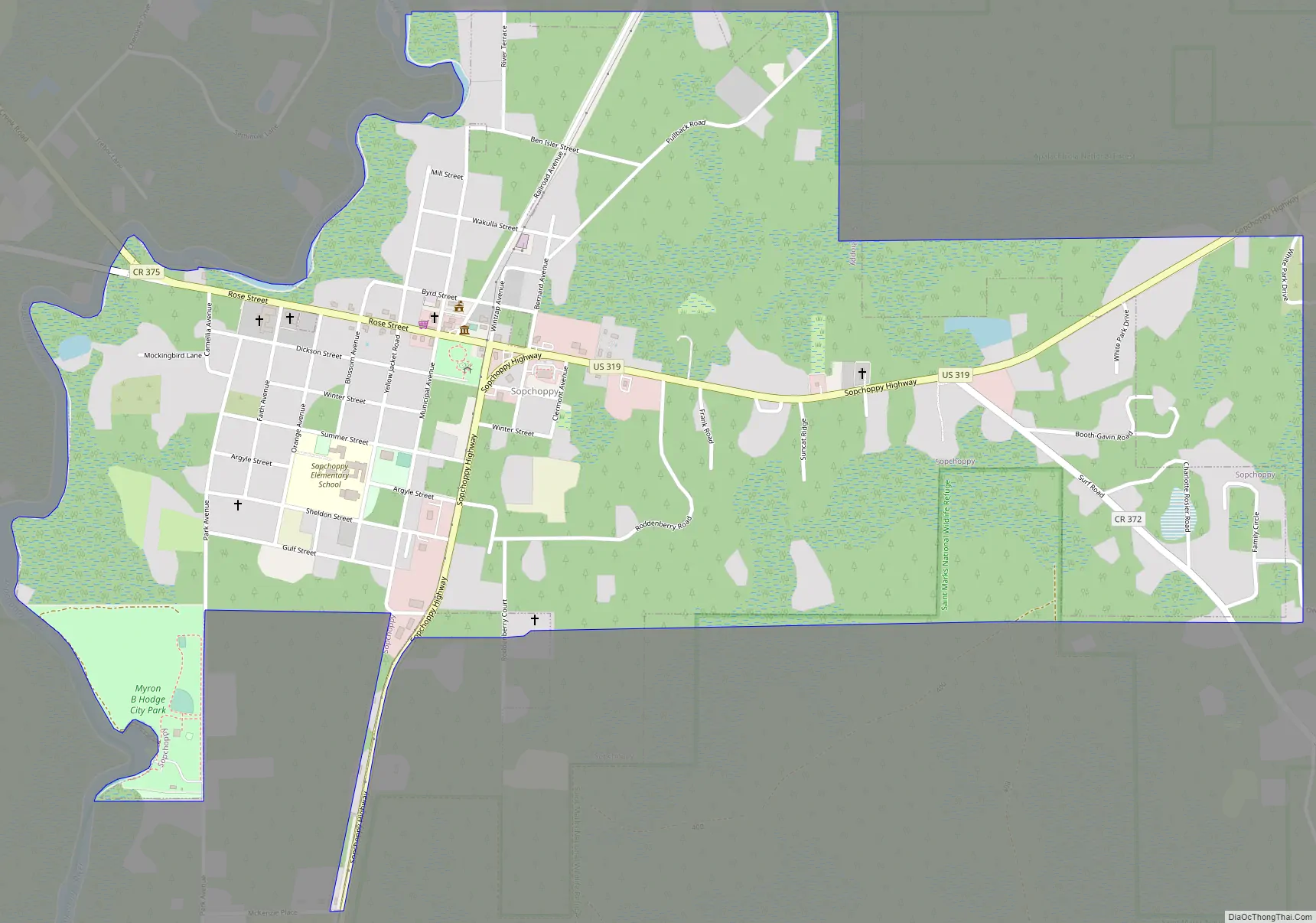
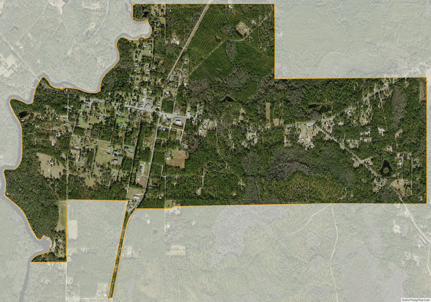
Sopchoppy city Satellite Map
Geography
Sopchoppy is located at 30°3′36″N 84°29′28″W / 30.06000°N 84.49111°W / 30.06000; -84.49111 (30.059994, –84.491084).
According to the United States Census Bureau, the city has a total area of 1.5 square miles (3.9 km.), all land.
See also
Map of Florida State and its subdivision:- Alachua
- Baker
- Bay
- Bradford
- Brevard
- Broward
- Calhoun
- Charlotte
- Citrus
- Clay
- Collier
- Columbia
- Desoto
- Dixie
- Duval
- Escambia
- Flagler
- Franklin
- Gadsden
- Gilchrist
- Glades
- Gulf
- Hamilton
- Hardee
- Hendry
- Hernando
- Highlands
- Hillsborough
- Holmes
- Indian River
- Jackson
- Jefferson
- Lafayette
- Lake
- Lee
- Leon
- Levy
- Liberty
- Madison
- Manatee
- Marion
- Martin
- Miami-Dade
- Monroe
- Nassau
- Okaloosa
- Okeechobee
- Orange
- Osceola
- Palm Beach
- Pasco
- Pinellas
- Polk
- Putnam
- Saint Johns
- Saint Lucie
- Santa Rosa
- Sarasota
- Seminole
- Sumter
- Suwannee
- Taylor
- Union
- Volusia
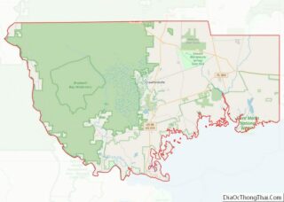
- Wakulla
- Walton
- Washington
- Alabama
- Alaska
- Arizona
- Arkansas
- California
- Colorado
- Connecticut
- Delaware
- District of Columbia
- Florida
- Georgia
- Hawaii
- Idaho
- Illinois
- Indiana
- Iowa
- Kansas
- Kentucky
- Louisiana
- Maine
- Maryland
- Massachusetts
- Michigan
- Minnesota
- Mississippi
- Missouri
- Montana
- Nebraska
- Nevada
- New Hampshire
- New Jersey
- New Mexico
- New York
- North Carolina
- North Dakota
- Ohio
- Oklahoma
- Oregon
- Pennsylvania
- Rhode Island
- South Carolina
- South Dakota
- Tennessee
- Texas
- Utah
- Vermont
- Virginia
- Washington
- West Virginia
- Wisconsin
- Wyoming