South Bay is a city in Palm Beach County, Florida, United States. It is the westernmost municipality in the South Florida metropolitan area. The population was 4,876 at the 2010 census. As of 2018, the population recorded by the U.S. Census Bureau was 5,185. While the current estimates place South Bay’s population in the incorporated city limits at more than 4,000 people, surrounding areas increase the population figures to 54,000 people in a 25-mile (40 km) radius and more than 1.4 million in a 50-mile (80 km) radius.
| Name: | South Bay city |
|---|---|
| LSAD Code: | 25 |
| LSAD Description: | city (suffix) |
| State: | Florida |
| County: | Palm Beach County |
| Elevation: | 20 ft (6 m) |
| Total Area: | 3.93 sq mi (10.17 km²) |
| Land Area: | 2.86 sq mi (7.41 km²) |
| Water Area: | 1.06 sq mi (2.76 km²) |
| Total Population: | 4,860 |
| Population Density: | 1,698.11/sq mi (655.76/km²) |
| ZIP code: | 33493 |
| Area code: | 561 |
| FIPS code: | 1267175 |
| GNISfeature ID: | 0291340 |
Online Interactive Map
Click on ![]() to view map in "full screen" mode.
to view map in "full screen" mode.
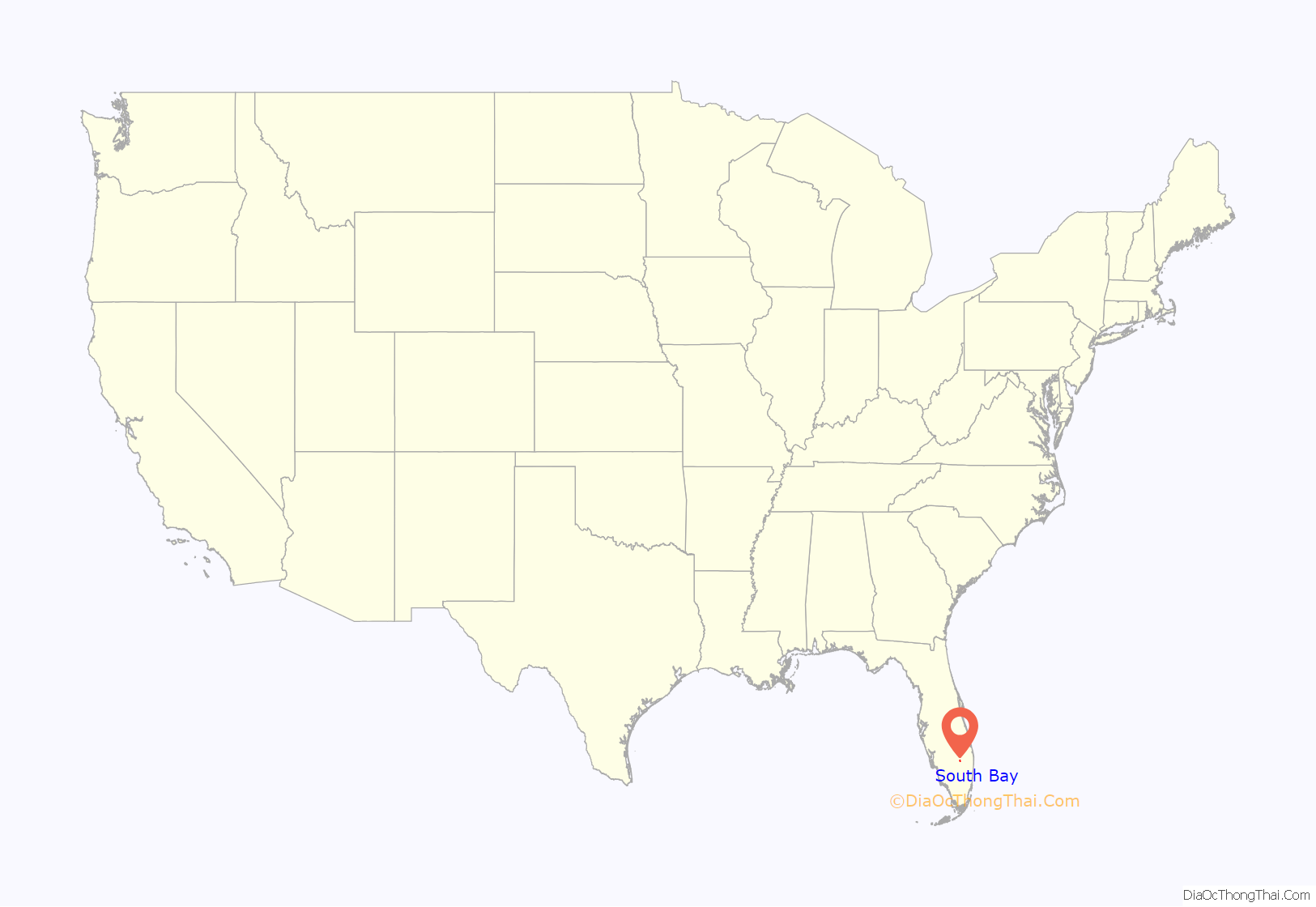
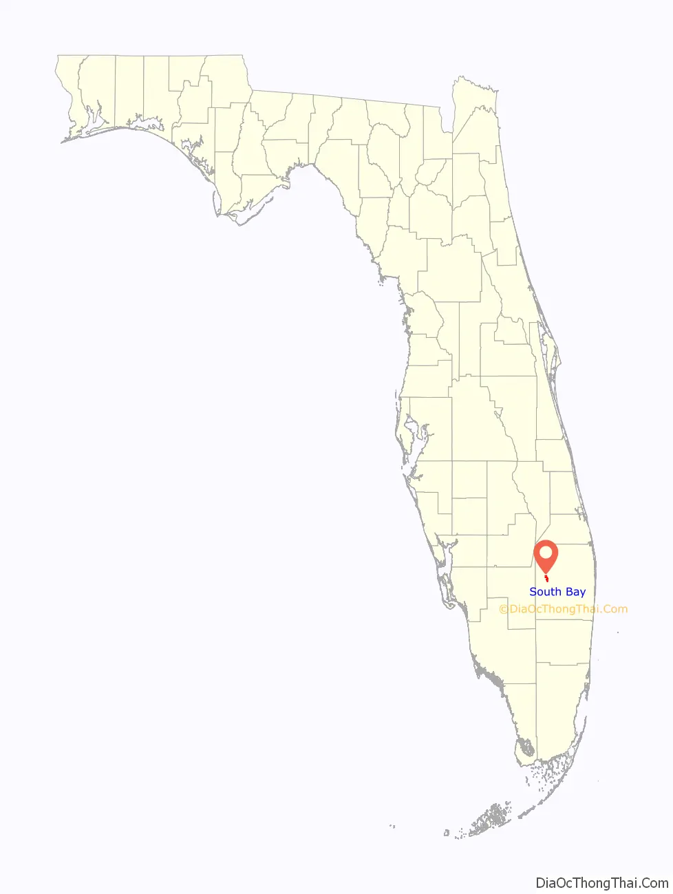
South Bay location map. Where is South Bay city?
History
South Bay was named for its location on Lake Okeechobee. The town was incorporated in 1941. The first mayor of South Bay was Aubrey (a.k.a. “Orb”) Walker, who, along with his brother, Haughty D. Walker (a.k.a. “Haught”), survived the great hurricane of 1928 by gathering his family members onto a boat in the canal.
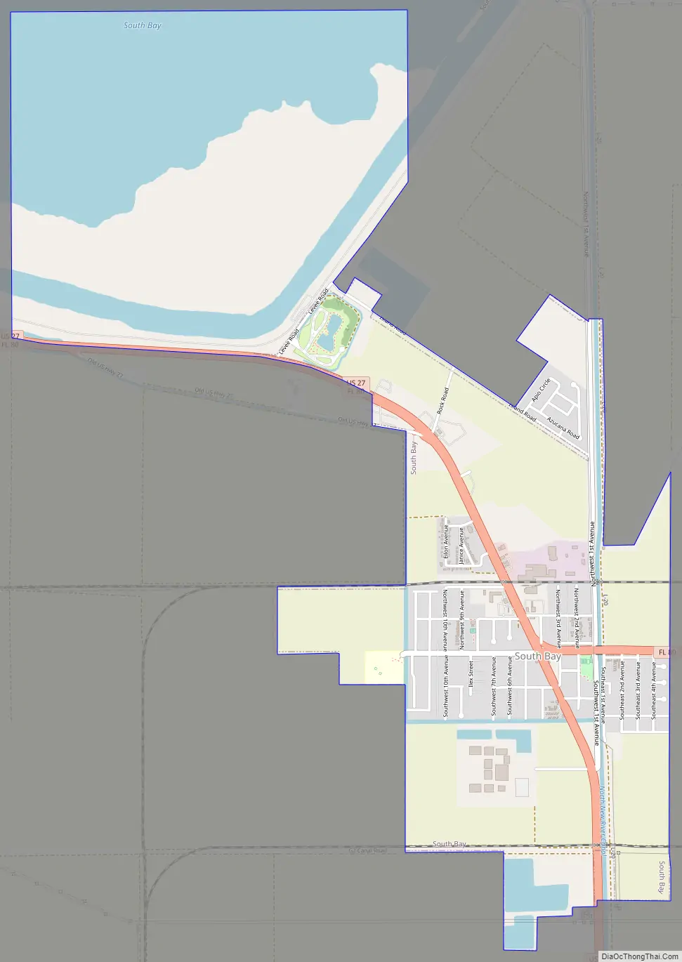
South Bay Road Map
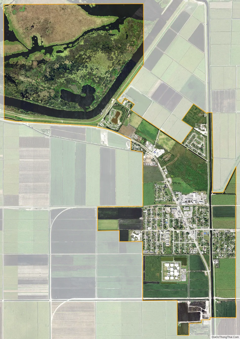
South Bay city Satellite Map
Geography
South Bay is located at 26°39′59″N 80°43′8″W / 26.66639°N 80.71889°W / 26.66639; -80.71889 (26.666487, –80.718985), near the southern bank of Lake Okeechobee.
According to the United States Census Bureau, the city has a total area of 3.7 square miles (9.6 km), including 2.7 square miles (7.0 km) of land and 1.0 square mile (2.6 km) of (26.95%) water. The Lake Okeechobee Scenic Trail runs through South Bay.
Climate
See also
Map of Florida State and its subdivision:- Alachua
- Baker
- Bay
- Bradford
- Brevard
- Broward
- Calhoun
- Charlotte
- Citrus
- Clay
- Collier
- Columbia
- Desoto
- Dixie
- Duval
- Escambia
- Flagler
- Franklin
- Gadsden
- Gilchrist
- Glades
- Gulf
- Hamilton
- Hardee
- Hendry
- Hernando
- Highlands
- Hillsborough
- Holmes
- Indian River
- Jackson
- Jefferson
- Lafayette
- Lake
- Lee
- Leon
- Levy
- Liberty
- Madison
- Manatee
- Marion
- Martin
- Miami-Dade
- Monroe
- Nassau
- Okaloosa
- Okeechobee
- Orange
- Osceola
- Palm Beach
- Pasco
- Pinellas
- Polk
- Putnam
- Saint Johns
- Saint Lucie
- Santa Rosa
- Sarasota
- Seminole
- Sumter
- Suwannee
- Taylor
- Union
- Volusia
- Wakulla
- Walton
- Washington
- Alabama
- Alaska
- Arizona
- Arkansas
- California
- Colorado
- Connecticut
- Delaware
- District of Columbia
- Florida
- Georgia
- Hawaii
- Idaho
- Illinois
- Indiana
- Iowa
- Kansas
- Kentucky
- Louisiana
- Maine
- Maryland
- Massachusetts
- Michigan
- Minnesota
- Mississippi
- Missouri
- Montana
- Nebraska
- Nevada
- New Hampshire
- New Jersey
- New Mexico
- New York
- North Carolina
- North Dakota
- Ohio
- Oklahoma
- Oregon
- Pennsylvania
- Rhode Island
- South Carolina
- South Dakota
- Tennessee
- Texas
- Utah
- Vermont
- Virginia
- Washington
- West Virginia
- Wisconsin
- Wyoming


