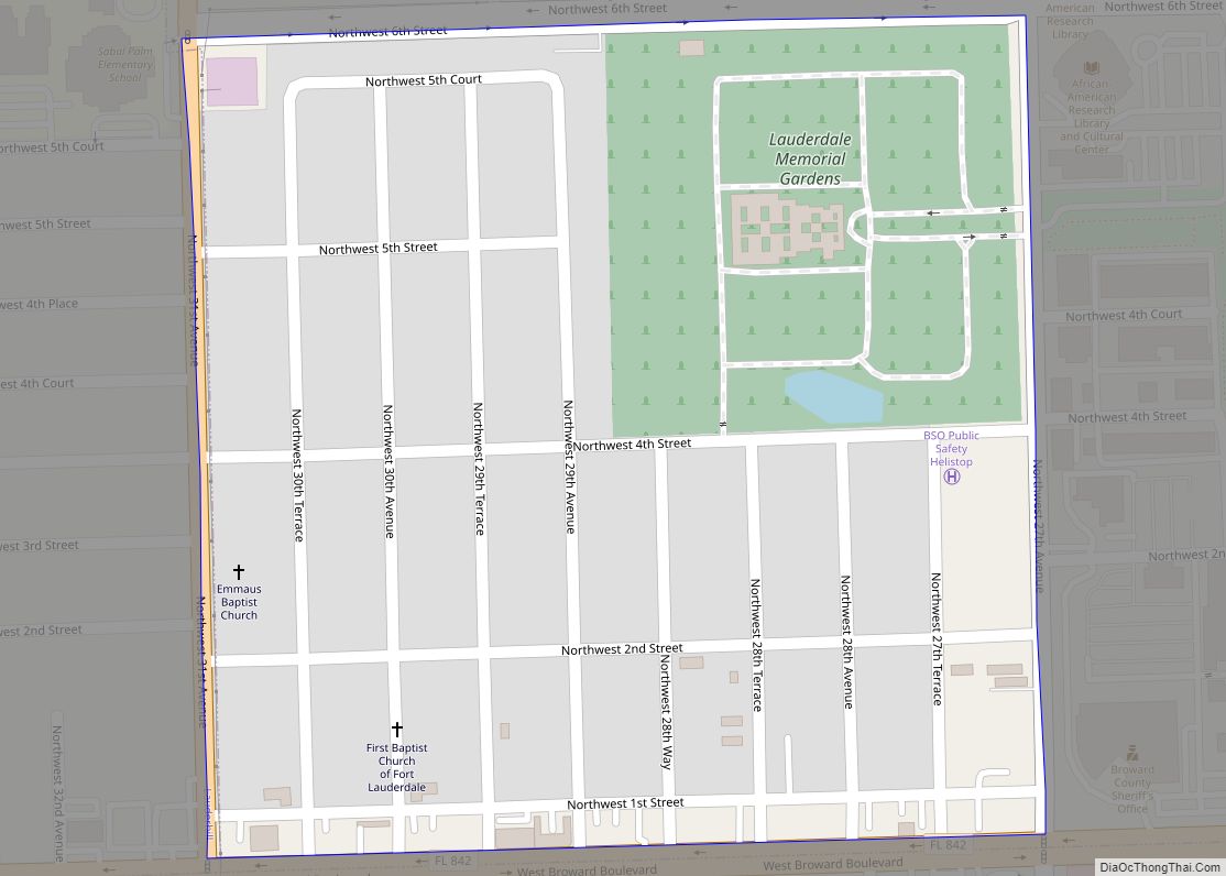
Boulevard Gardens is a census-designated place (CDP) in Broward County, Florida, United States. The population was 1,274 at the 2010 census. Boulevard Gardens CDP overview: Name: Boulevard Gardens CDP LSAD Code: 57 LSAD Description: CDP (suffix) State: Florida County: Broward County Total Area: 0.36 sq mi (0.95 km²) Land Area: 0.35 sq mi (0.90 km²) Water Area: 0.02 sq mi (0.05 km²) Total Population: ... Read more
Florida Cities and Places
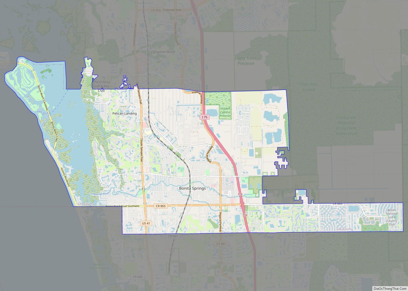
Bonita Springs is a city in Lee County, Florida, United States. The population was 53,644 at the 2020 census. It is part of the Cape Coral-Fort Myers, Florida Metropolitan Statistical Area, on the state’s southwest coast. Bonita Springs city overview: Name: Bonita Springs city LSAD Code: 25 LSAD Description: city (suffix) State: Florida County: Lee ... Read more
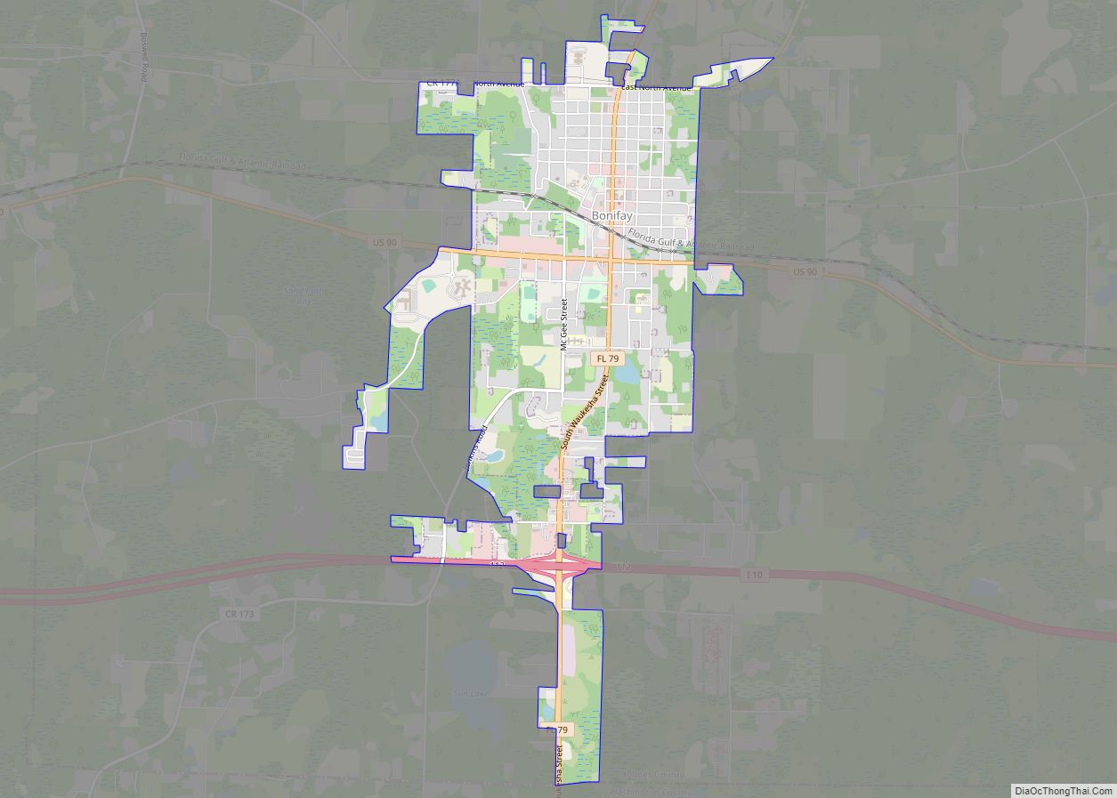
Bonifay is a city in Holmes County, Florida, United States. As of the 2020 census, the population was 2,759. It is the county seat of Holmes County. Bonifay was founded in 1882 when the Pensacola and Atlantic Railroad was built across the Florida Panhandle, and was named by P&A executive W. D. Chipley for Frank ... Read more
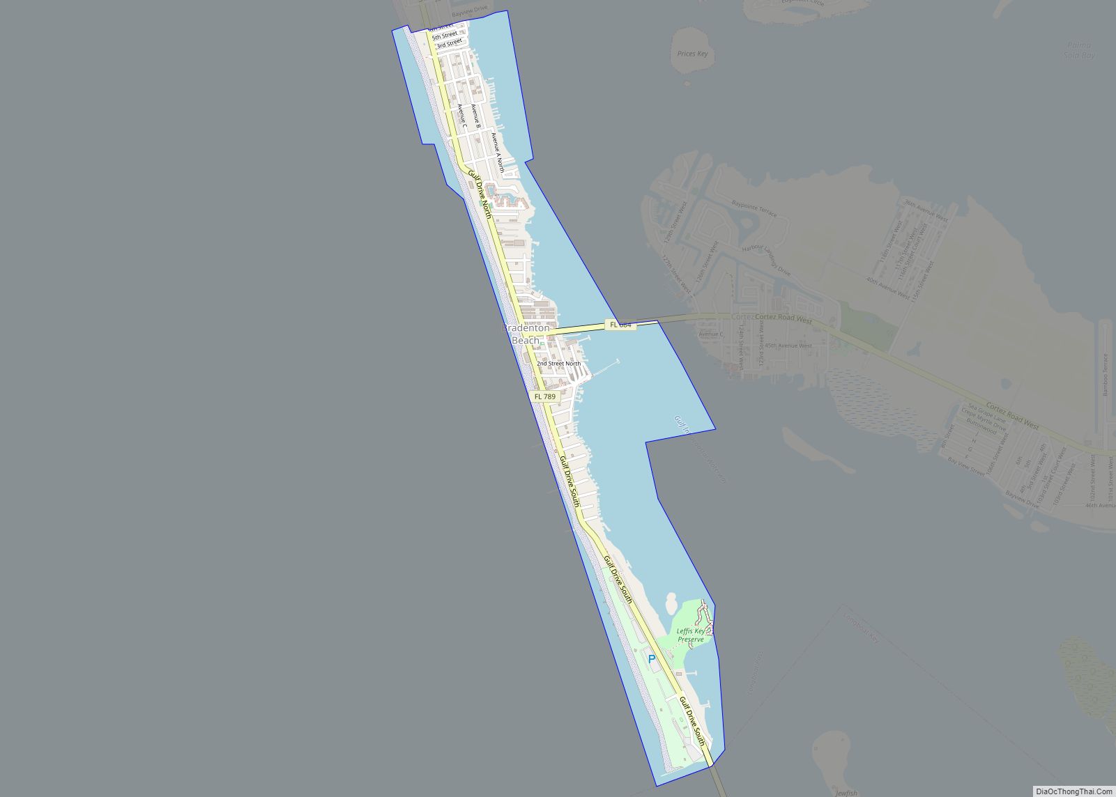
Bradenton Beach is a city on Anna Maria Island in Manatee County, Florida, United States. The population was 908 at the 2020 census, down from 1,171 in 2010. It is part of the Bradenton-Sarasota-Venice, Florida Metropolitan Statistical Area. The city occupies the southern part of Anna Maria Island and is one of three municipalities on ... Read more
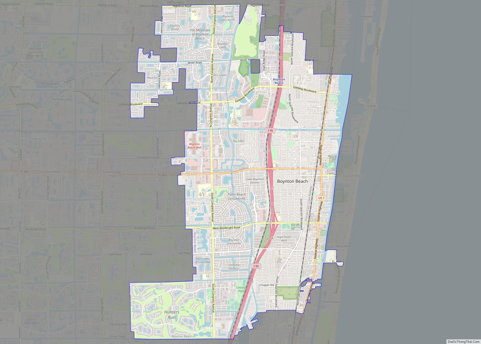
Boynton Beach is a city in Palm Beach County, Florida, United States. It is situated about 57 miles north of Miami. The population was 80,380 at the 2020 census. Boynton Beach is a principal city of the Miami metropolitan area, which was home to 6,138,333 people at the 2020 census. Boynton Beach city overview: Name: ... Read more
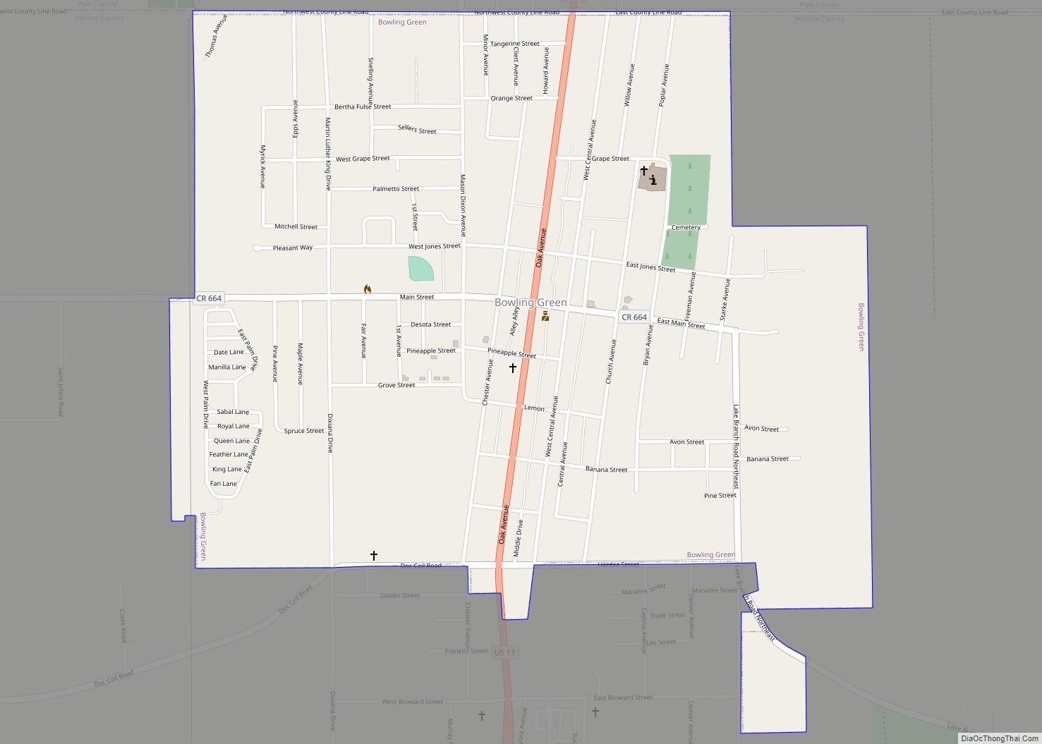
Bowling Green is a city in Hardee County, Florida, United States. The population was 2,930 at the 2010 census. Bowling Green city overview: Name: Bowling Green city LSAD Code: 25 LSAD Description: city (suffix) State: Florida County: Hardee County Elevation: 118 ft (36 m) Total Area: 1.26 sq mi (3.28 km²) Land Area: 1.26 sq mi (3.27 km²) Water Area: 0.00 sq mi (0.00 km²) Total ... Read more
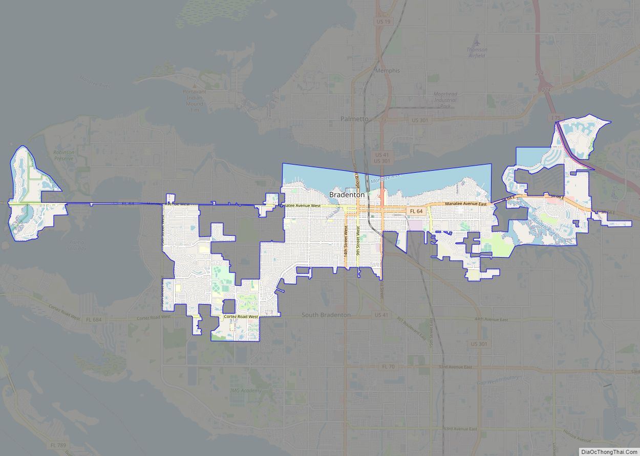
Bradenton (/ˈbreɪdəntən/ BRAY-dən-tən) is a city in and the county seat of Manatee County, Florida, United States. As of the 2020 census, the city’s population is 55,698. Bradenton city overview: Name: Bradenton city LSAD Code: 25 LSAD Description: city (suffix) State: Florida County: Manatee County Elevation: 6 ft (1.83 m) Land Area: 14.34 sq mi (37.13 km²) Water Area: 3.16 sq mi ... Read more
Brandon is an unincorporated community and census-designated place (CDP) in Hillsborough County, Florida, United States. It is part of the Tampa–St. Petersburg–Clearwater Metropolitan Statistical Area. The population was 114,626 at the 2020 census, up from 103,483 at the 2010 census. Brandon CDP overview: Name: Brandon CDP LSAD Code: 57 LSAD Description: CDP (suffix) State: Florida ... Read more
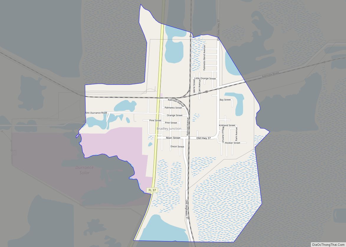
Bradley Junction (also known as Bradley) is an unincorporated community and census-designated place in southwestern Polk County, Florida, United States. Its population was 542 as of the 2020 census. Bradley Junction CDP overview: Name: Bradley Junction CDP LSAD Code: 57 LSAD Description: CDP (suffix) State: Florida County: Polk County Elevation: 138 ft (42 m) Total Area: 2.15 sq mi ... Read more
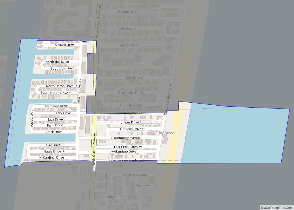
Briny Breezes is a town in Palm Beach County, Florida, United States. The population was 601 at the 2010 census. Briny Breezes (or “Briny” as it is known locally) is a small coastal community of approximately 488 mobile homes along State Road A1A. Briny is a private community consisting mostly of “Snowbirds” from the Northeast, ... Read more
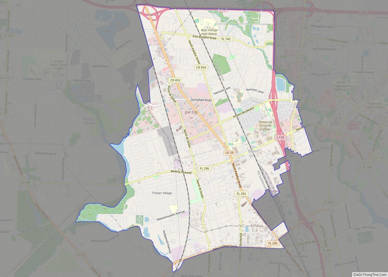
Brent is a census-designated place (CDP) in Escambia County, Florida. It is considered to be a community within Pensacola. The population was 21,804 at the 2010 census. It is a principal area of the Pensacola-Ferry Pass-Brent Metropolitan Statistical Area. The community is named after Francis Celestino Brent, who played an integral role in the development ... Read more
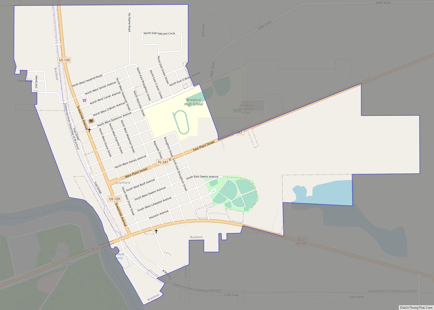
Branford is a town in Suwannee County, Florida, United States. The population was 712 at the 2010 census. Branford town overview: Name: Branford town LSAD Code: 43 LSAD Description: town (suffix) State: Florida County: Suwannee County Elevation: 39 ft (12 m) Total Area: 1.14 sq mi (2.94 km²) Land Area: 1.14 sq mi (2.94 km²) Water Area: 0.00 sq mi (0.00 km²) Total Population: 711 Population ... Read more
