Bonifay is a city in Holmes County, Florida, United States. As of the 2020 census, the population was 2,759. It is the county seat of Holmes County.
Bonifay was founded in 1882 when the Pensacola and Atlantic Railroad was built across the Florida Panhandle, and was named by P&A executive W. D. Chipley for Frank Bonifay, member of a prominent family who had a brickmaking factory in Pensacola, where the P&A was headquartered. Frank Bonifay bought a stake in the P&A, which in 1891 was merged into the Louisville and Nashville Railroad, which after several more mergers became part of CSX Transportation in 1986. On June 1, 2019, the Florida Gulf & Atlantic Railroad acquired most of the CSX line from Pensacola to Jacksonville.
| Name: | Bonifay city |
|---|---|
| LSAD Code: | 25 |
| LSAD Description: | city (suffix) |
| State: | Florida |
| County: | Holmes County |
| Elevation: | 135 ft (41 m) |
| Total Area: | 4.78 sq mi (12.37 km²) |
| Land Area: | 4.70 sq mi (12.18 km²) |
| Water Area: | 0.07 sq mi (0.19 km²) |
| Total Population: | 2,759 |
| Population Density: | 586.65/sq mi (226.49/km²) |
| ZIP code: | 32425 |
| Area code: | 850 |
| FIPS code: | 1207450 |
| GNISfeature ID: | 0279203 |
| Website: | cityofbonifayfl.com |
Online Interactive Map
Click on ![]() to view map in "full screen" mode.
to view map in "full screen" mode.
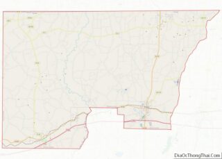
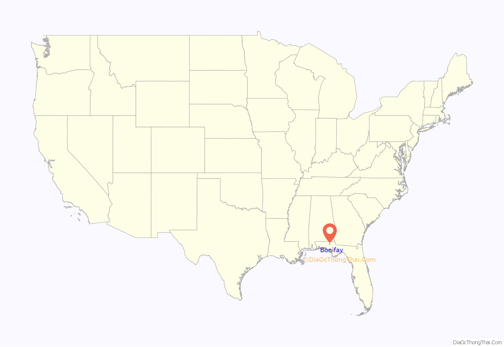
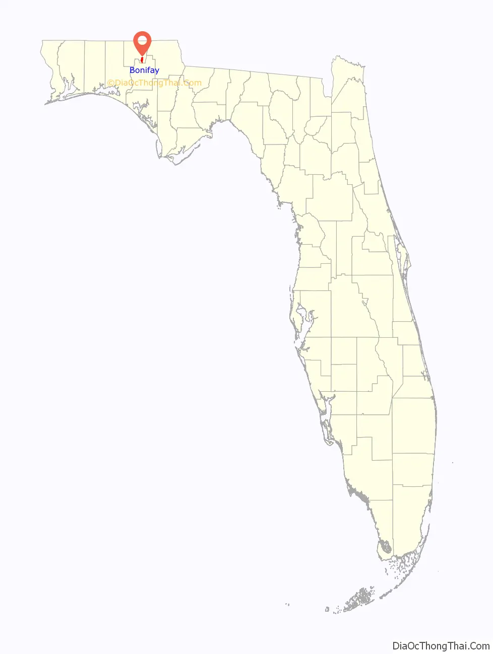
Bonifay location map. Where is Bonifay city?
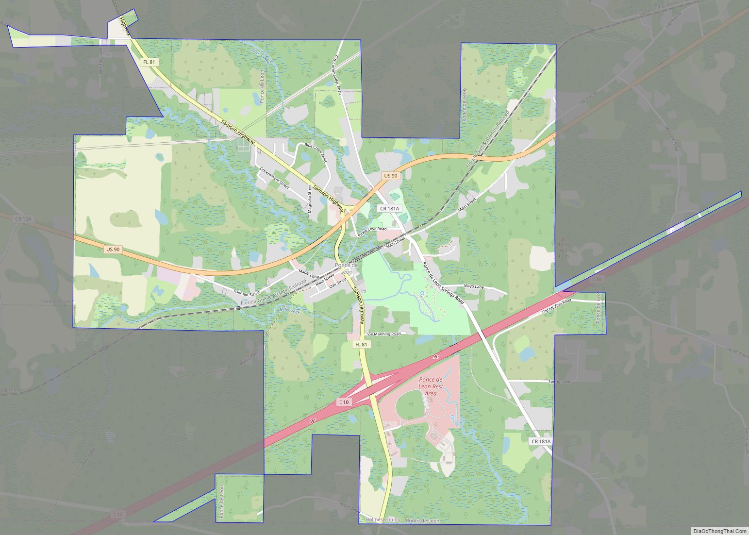
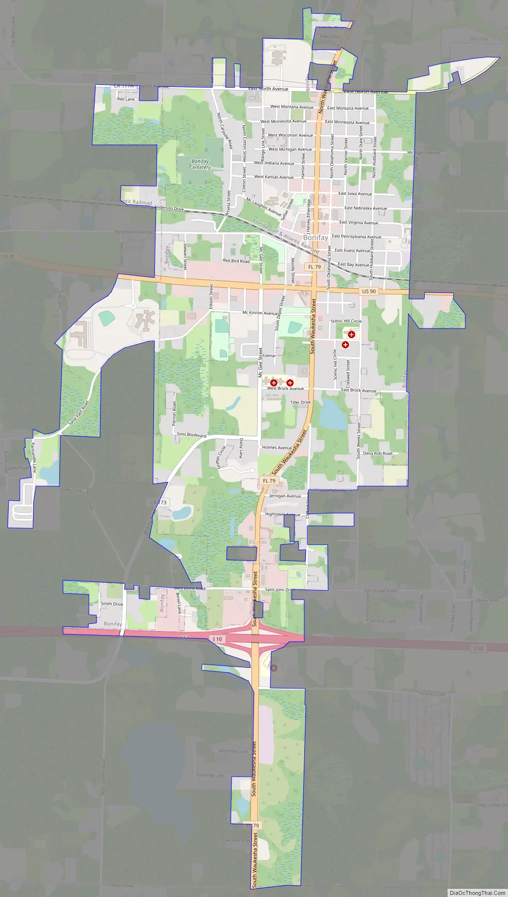
Bonifay Road Map
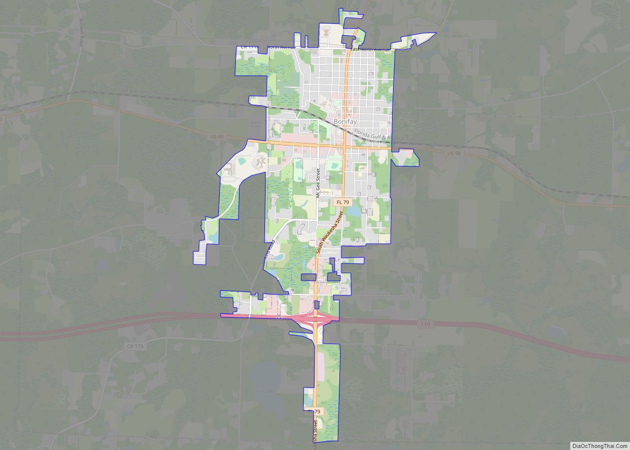
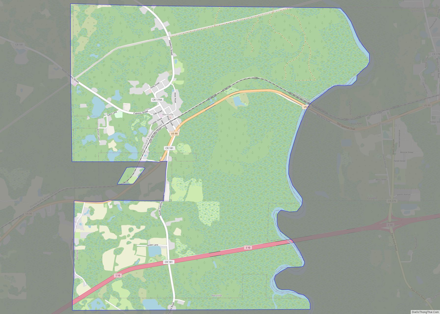
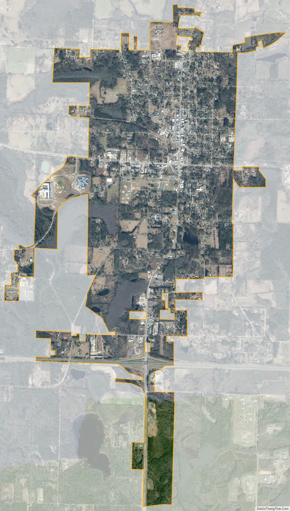
Bonifay city Satellite Map
Geography
Bonifay is located in southeastern Holmes County at 30°47′N 85°41′W (30.791, –85.681. U.S. Route 90 runs through the southern part of the downtown area, leading east 9 miles (14 km) to Chipley and west 8 miles (13 km) to Caryville. Interstate 10 passes through the southern edge of town, with access from Exit 112 (Florida State Road 79). I-10 leads east 91 miles (146 km) to Tallahassee and west 105 miles (169 km) to Pensacola. SR 79 (Waukesha Street) connects I-10 and US-90 and passes through the center of Bonifay, leading north 13 miles (21 km) to Esto and south 12 miles (19 km) to Vernon.
According to the United States Census Bureau, the city has a total area of 4.1 square miles (10.7 km), of which 0.1 square miles (0.2 km), or 1,73%, are water.
See also
Map of Florida State and its subdivision:- Alachua
- Baker
- Bay
- Bradford
- Brevard
- Broward
- Calhoun
- Charlotte
- Citrus
- Clay
- Collier
- Columbia
- Desoto
- Dixie
- Duval
- Escambia
- Flagler
- Franklin
- Gadsden
- Gilchrist
- Glades
- Gulf
- Hamilton
- Hardee
- Hendry
- Hernando
- Highlands
- Hillsborough
- Holmes
- Indian River
- Jackson
- Jefferson
- Lafayette
- Lake
- Lee
- Leon
- Levy
- Liberty
- Madison
- Manatee
- Marion
- Martin
- Miami-Dade
- Monroe
- Nassau
- Okaloosa
- Okeechobee
- Orange
- Osceola
- Palm Beach
- Pasco
- Pinellas
- Polk
- Putnam
- Saint Johns
- Saint Lucie
- Santa Rosa
- Sarasota
- Seminole
- Sumter
- Suwannee
- Taylor
- Union
- Volusia
- Wakulla
- Walton
- Washington
- Alabama
- Alaska
- Arizona
- Arkansas
- California
- Colorado
- Connecticut
- Delaware
- District of Columbia
- Florida
- Georgia
- Hawaii
- Idaho
- Illinois
- Indiana
- Iowa
- Kansas
- Kentucky
- Louisiana
- Maine
- Maryland
- Massachusetts
- Michigan
- Minnesota
- Mississippi
- Missouri
- Montana
- Nebraska
- Nevada
- New Hampshire
- New Jersey
- New Mexico
- New York
- North Carolina
- North Dakota
- Ohio
- Oklahoma
- Oregon
- Pennsylvania
- Rhode Island
- South Carolina
- South Dakota
- Tennessee
- Texas
- Utah
- Vermont
- Virginia
- Washington
- West Virginia
- Wisconsin
- Wyoming