Bonita Springs is a city in Lee County, Florida, United States. The population was 53,644 at the 2020 census. It is part of the Cape Coral-Fort Myers, Florida Metropolitan Statistical Area, on the state’s southwest coast.
| Name: | Bonita Springs city |
|---|---|
| LSAD Code: | 25 |
| LSAD Description: | city (suffix) |
| State: | Florida |
| County: | Lee County |
| Elevation: | 10 ft (3 m) |
| Land Area: | 38.42 sq mi (99.50 km²) |
| Water Area: | 8.09 sq mi (20.96 km²) 13.95% |
| Population Density: | 1,396.32/sq mi (539.12/km²) |
| ZIP code: | 34133-34136 |
| Area code: | 239 |
| FIPS code: | 1207525 |
| GNISfeature ID: | 0279207 |
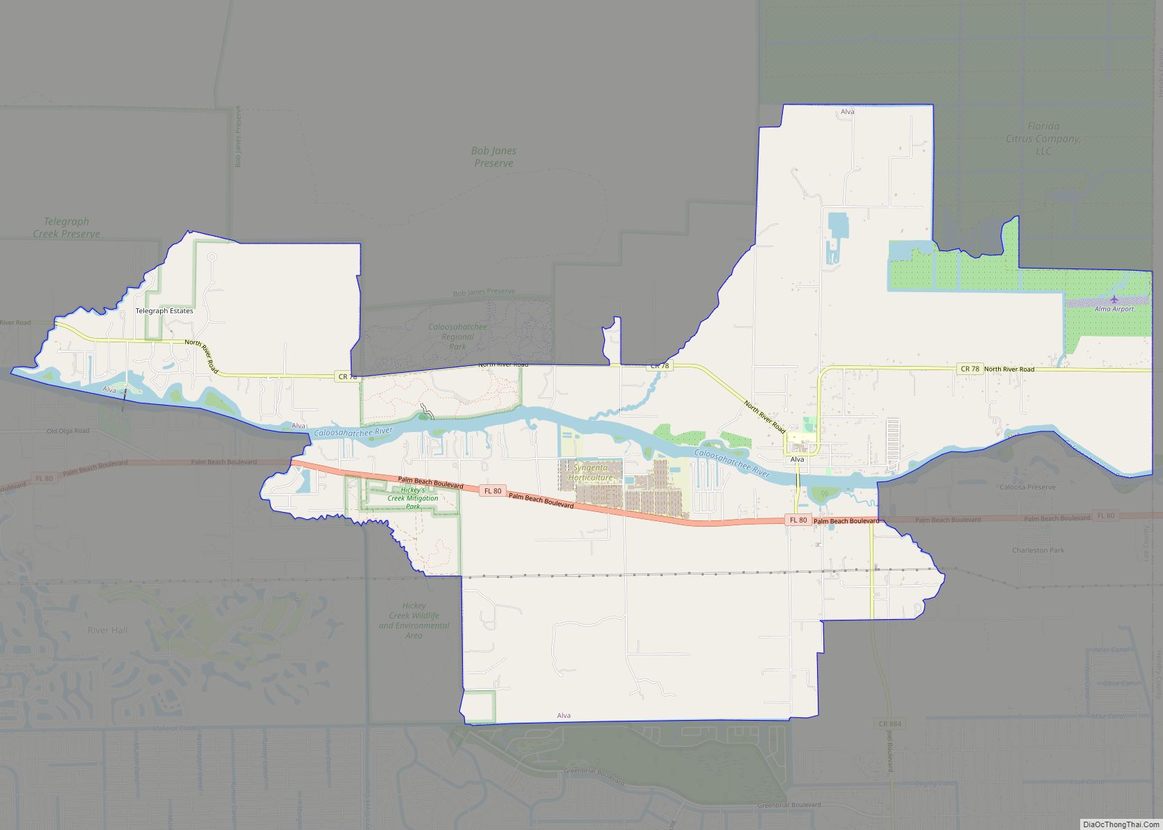
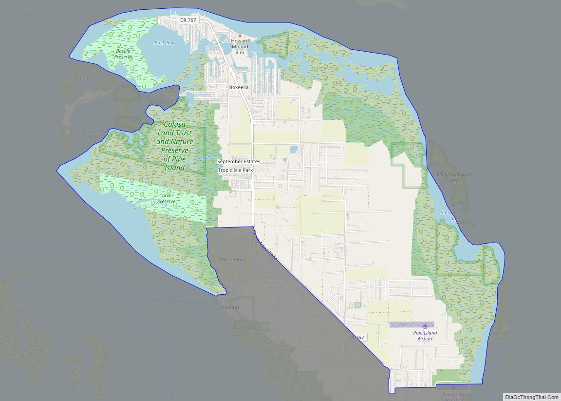
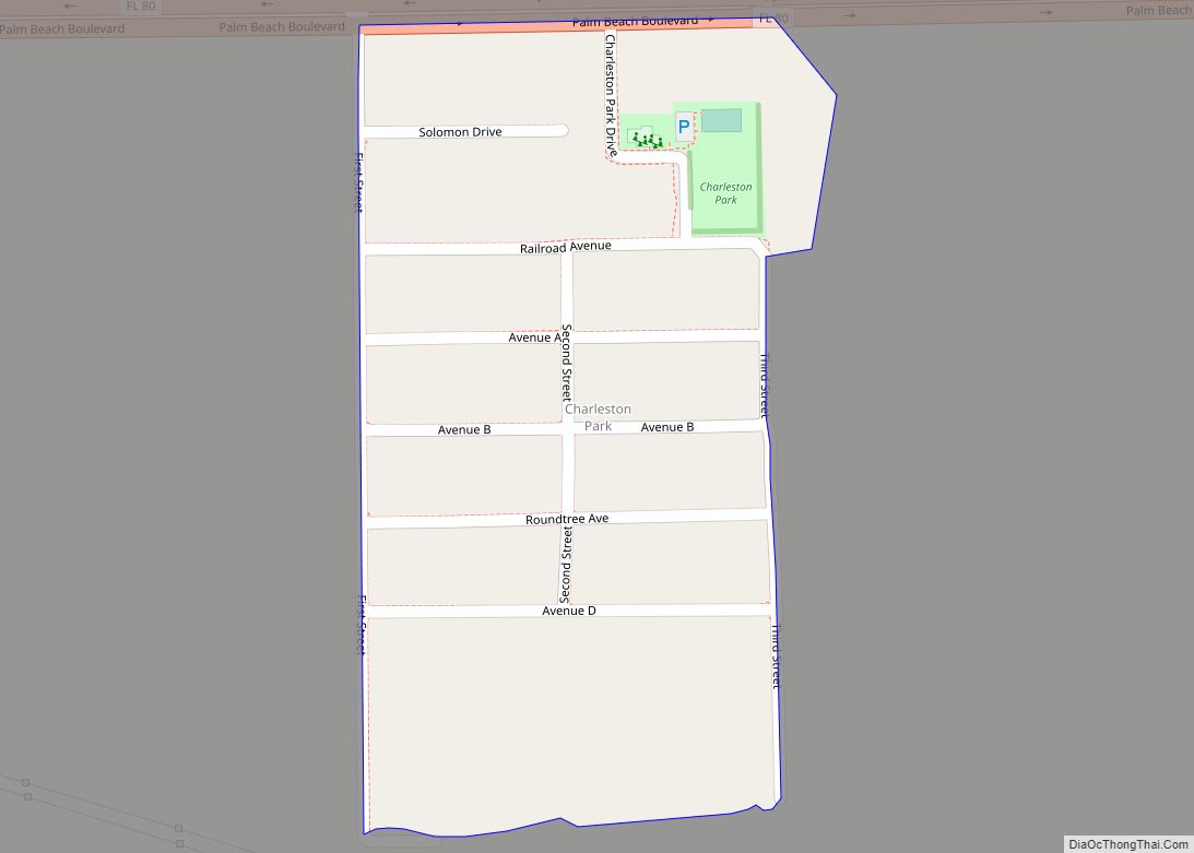
Online Interactive Map
Click on ![]() to view map in "full screen" mode.
to view map in "full screen" mode.
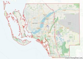
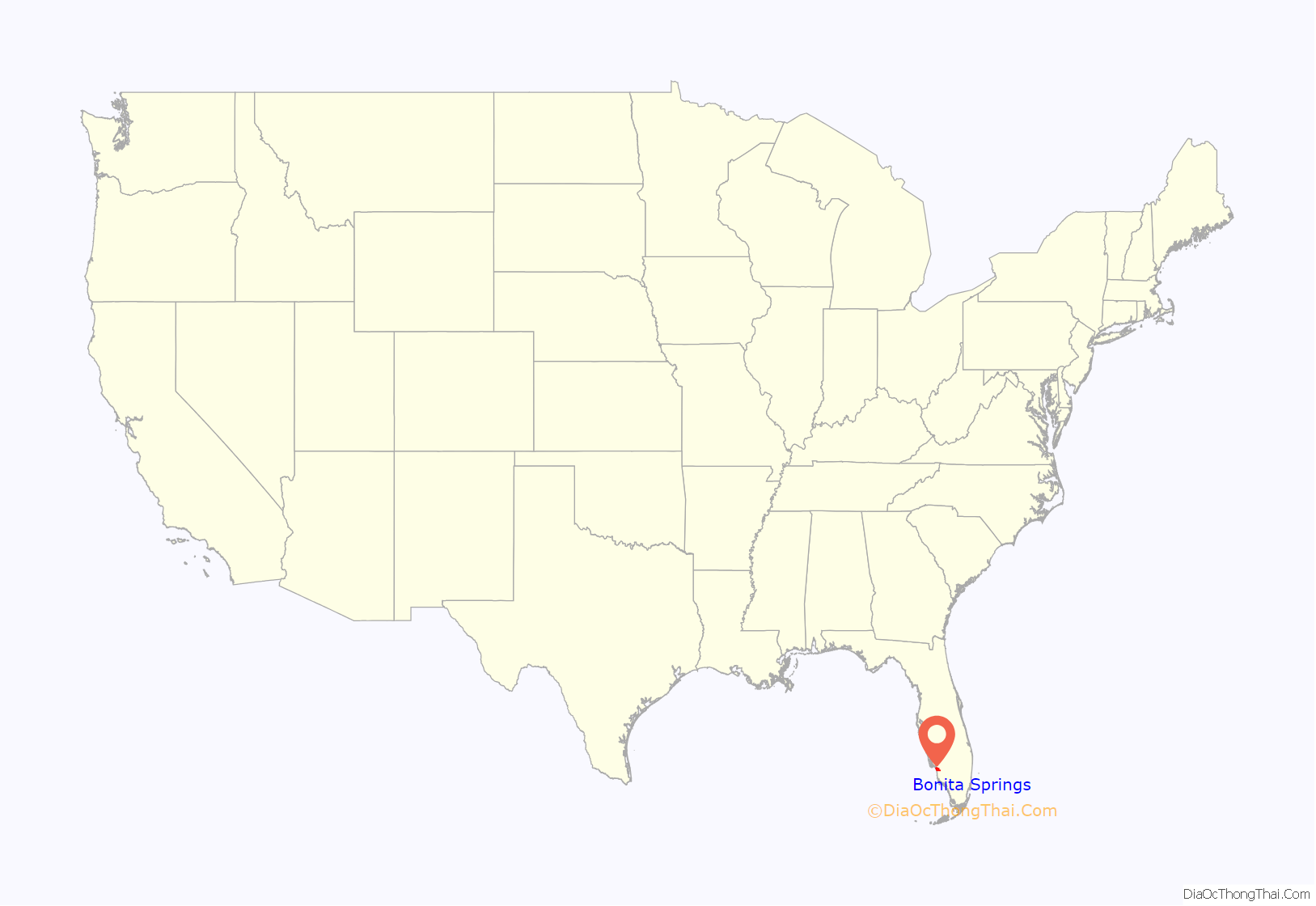
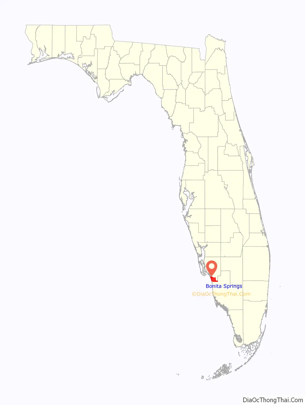
Bonita Springs location map. Where is Bonita Springs city?
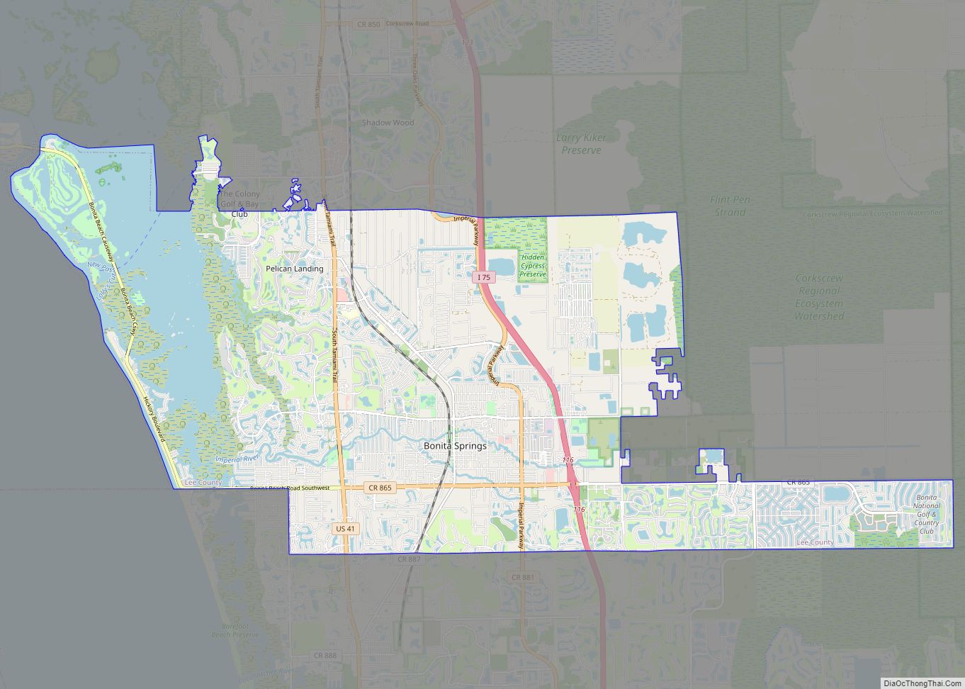
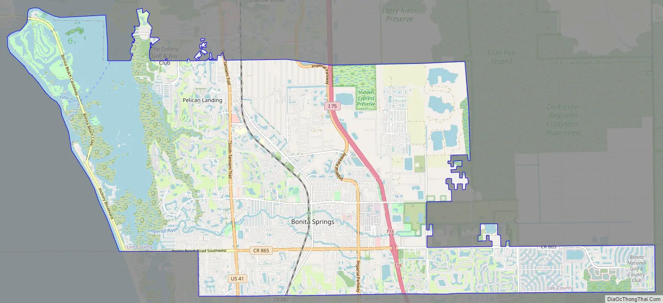
Bonita Springs Road Map
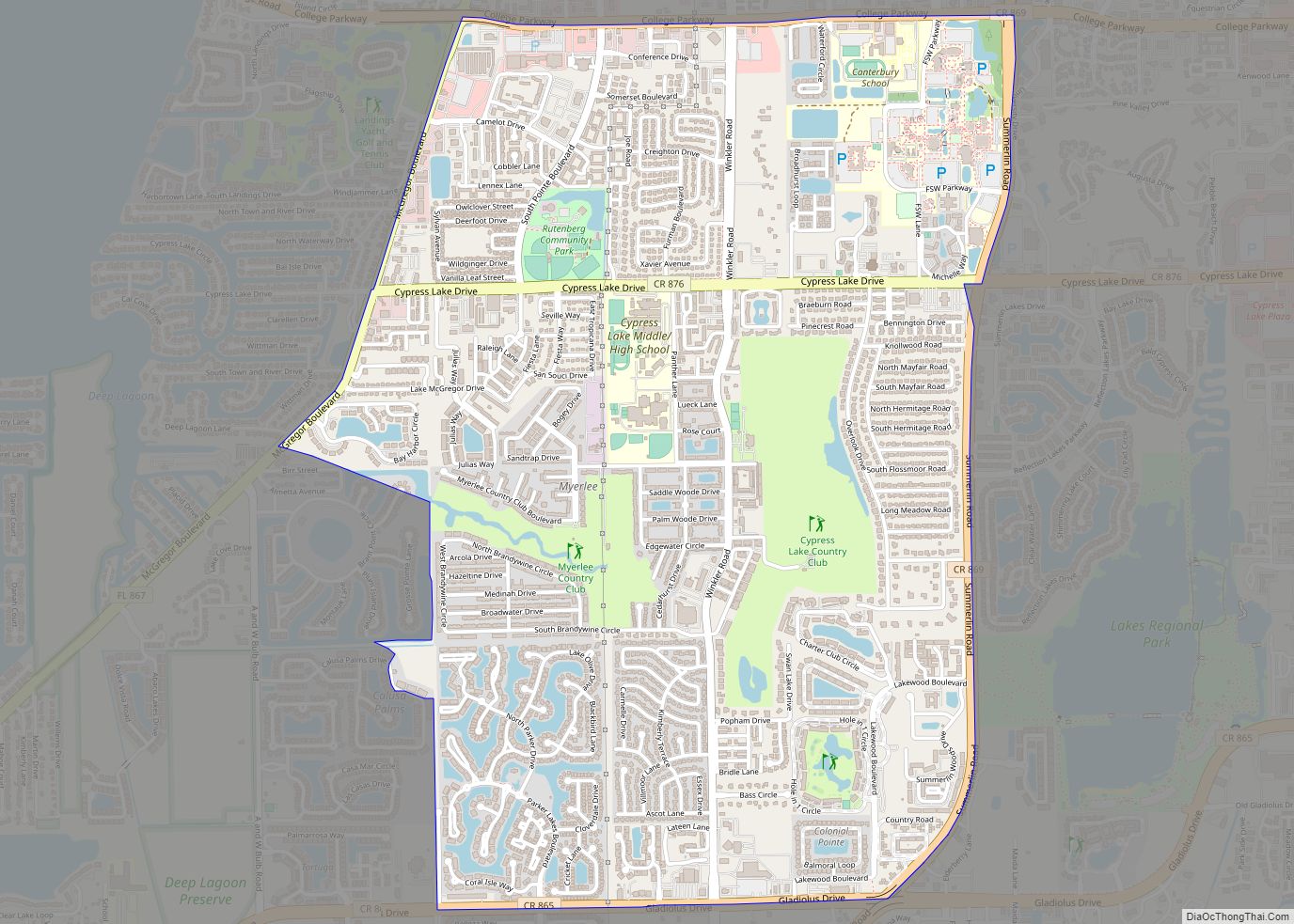
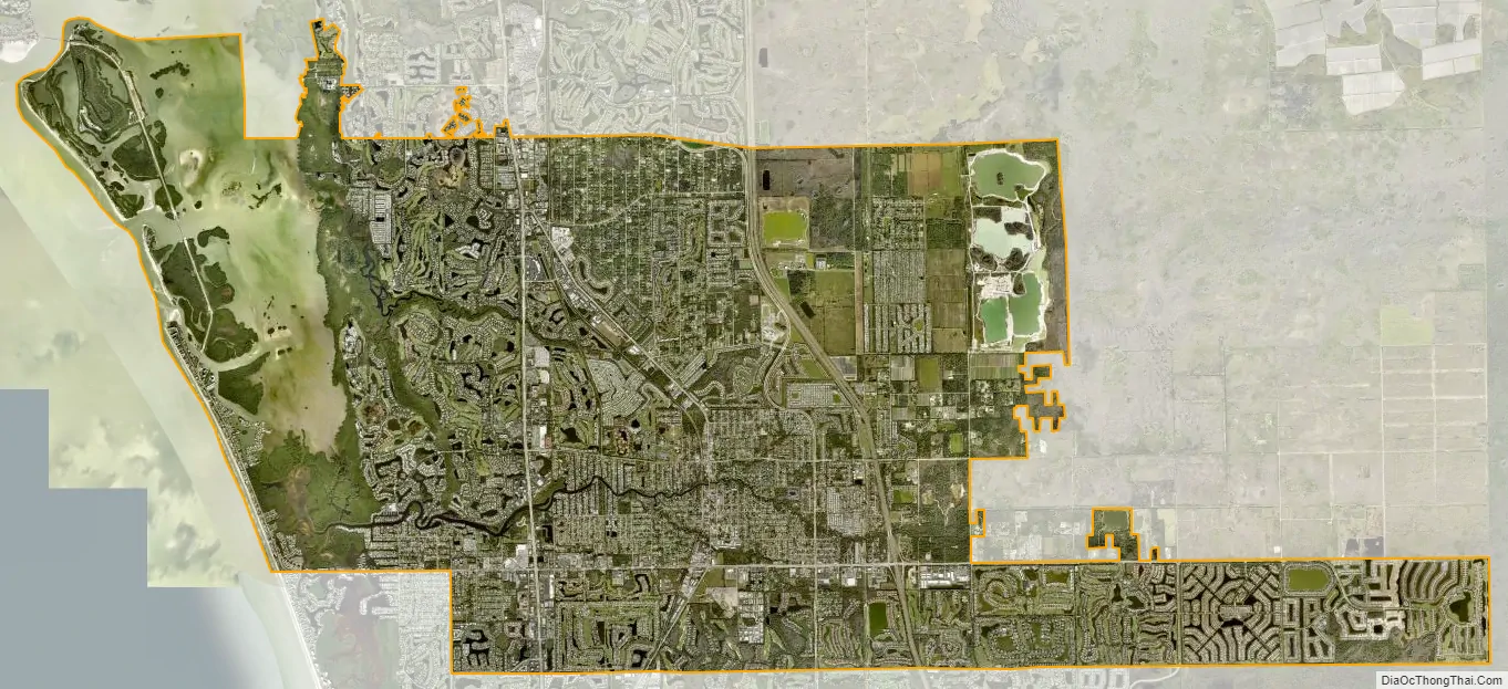
Bonita Springs city Satellite Map
Geography
According to the United States Census Bureau, the city has a total area of 41.0 square miles (106 km), of which 35.3 square miles (91 km) is land and 5.7 square miles (15 km) (13.95%) is water.
The city is located on both Estero Bay and the Gulf of Mexico. The area referred to as Bonita Beach is located on a road-accessible barrier island (Little Hickory Island) that lies between the Gulf of Mexico and Estero Bay. The Imperial River flows through the downtown district of the city and empties out into Estero Bay.
Climate
The city lies in the tropical climate zone, having a mean January temperature of 65 °F (18 °C). Hurricane Charley made landfall north of Bonita Springs on August 13, 2004. Hurricane Wilma made landfall south of Bonita Springs on October 24, 2005. On September 9–10, 2017, Hurricane Irma, at the time a slow-moving Category 3 storm, passed over the southwest coast of Florida. The eyewall/eye passed overhead in Bonita Springs. Many structures were damaged or destroyed and the city experienced significant flooding.
See also
Map of Florida State and its subdivision:- Alachua
- Baker
- Bay
- Bradford
- Brevard
- Broward
- Calhoun
- Charlotte
- Citrus
- Clay
- Collier
- Columbia
- Desoto
- Dixie
- Duval
- Escambia
- Flagler
- Franklin
- Gadsden
- Gilchrist
- Glades
- Gulf
- Hamilton
- Hardee
- Hendry
- Hernando
- Highlands
- Hillsborough
- Holmes
- Indian River
- Jackson
- Jefferson
- Lafayette
- Lake
- Lee
- Leon
- Levy
- Liberty
- Madison
- Manatee
- Marion
- Martin
- Miami-Dade
- Monroe
- Nassau
- Okaloosa
- Okeechobee
- Orange
- Osceola
- Palm Beach
- Pasco
- Pinellas
- Polk
- Putnam
- Saint Johns
- Saint Lucie
- Santa Rosa
- Sarasota
- Seminole
- Sumter
- Suwannee
- Taylor
- Union
- Volusia
- Wakulla
- Walton
- Washington
- Alabama
- Alaska
- Arizona
- Arkansas
- California
- Colorado
- Connecticut
- Delaware
- District of Columbia
- Florida
- Georgia
- Hawaii
- Idaho
- Illinois
- Indiana
- Iowa
- Kansas
- Kentucky
- Louisiana
- Maine
- Maryland
- Massachusetts
- Michigan
- Minnesota
- Mississippi
- Missouri
- Montana
- Nebraska
- Nevada
- New Hampshire
- New Jersey
- New Mexico
- New York
- North Carolina
- North Dakota
- Ohio
- Oklahoma
- Oregon
- Pennsylvania
- Rhode Island
- South Carolina
- South Dakota
- Tennessee
- Texas
- Utah
- Vermont
- Virginia
- Washington
- West Virginia
- Wisconsin
- Wyoming