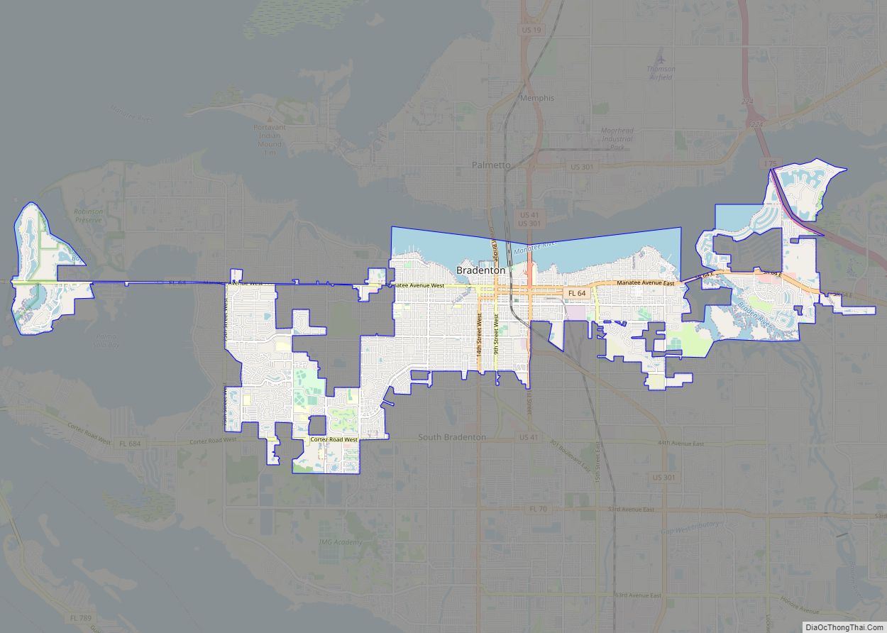
Bradenton (/ˈbreɪdəntən/ BRAY-dən-tən) is a city in and the county seat of Manatee County, Florida, United States. As of the 2020 census, the city’s population is 55,698.
| Name: | Bradenton city |
|---|---|
| LSAD Code: | 25 |
| LSAD Description: | city (suffix) |
| State: | Florida |
| County: | Manatee County |
| Elevation: | 6 ft (1.83 m) |
| Land Area: | 14.34 sq mi (37.13 km²) |
| Water Area: | 3.16 sq mi (8.19 km²) 16.14% |
| Population Density: | 3,884.64/sq mi (1,499.90/km²) |
| Area code: | 941 |
| FIPS code: | 1207950 |
| GNISfeature ID: | 0279311 |
| Website: | cityofbradenton.com |
Online Interactive Map
Click on ![]() to view map in "full screen" mode.
to view map in "full screen" mode.
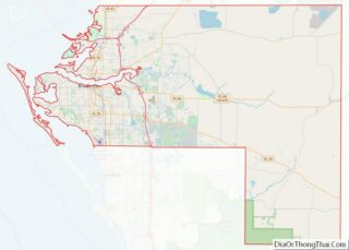
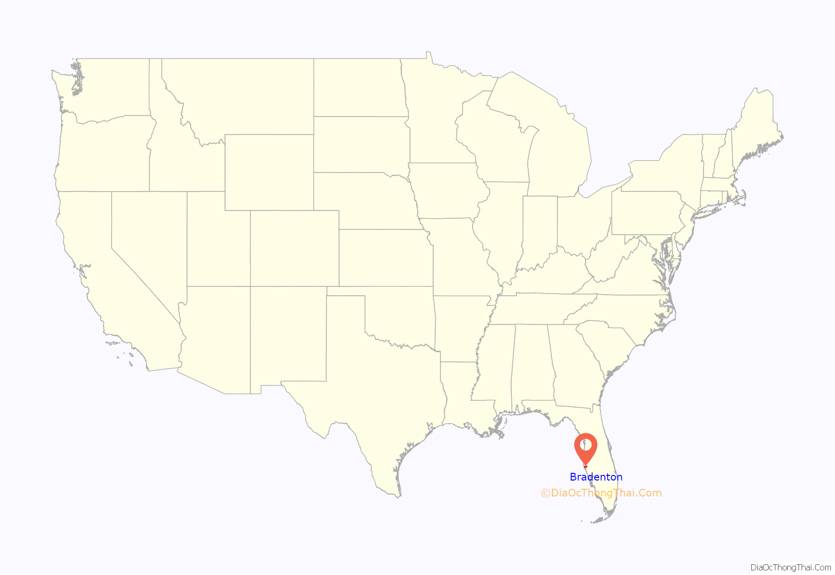
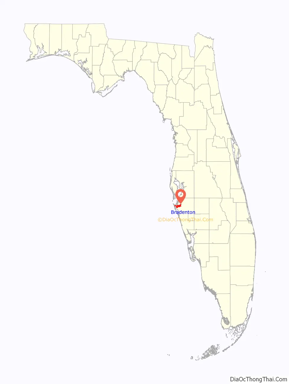
Bradenton location map. Where is Bradenton city?
History
Late 18th and early 19th centuries
A settlement established by Maroons or escaped slaves named Angola existed in Bradenton’s present area starting in the late 1700s and ending in 1821. It is believed to been spread out between the Manatee River (then known as Oyster River) all the way to Sarasota Bay. The community is estimated to have had 600–750 residents in it. Angola was a rather large maroon settlement as the Manatee River at that time was too shallow for US Navy vessels to navigate. The settlement was abandoned after the Creeks who were aligned with Andrew Jackson attacked Angola.
When the United States annexed Florida in 1821, there were two known claimants of land in the vicinity of Bradenton but neither of them was confirmed by the US federal government.
Mid and late 19th century
Josiah Gates along with his family and eight slaves moved to the area where present-day Bradenton exists in January 1842 after being attracted to the area for its natural beauty. Gates thought the area would be a popular place for new settlers to arrive at because it was near Fort Brooke, and he also figured that while they were building their homes they would need a place to stay at temporarily. He built his home near present-day 15th Street East and his inn at another location naming it Gates House. Gates is also credited as being the first known American settler in present-day Manatee County.
Bradenton is named after Dr. Joseph Braden, whose nearby fort-like house was a refuge for early settlers during the Seminole Wars. Braden owned a sugar plantation in the area, covering 1,100 acres (450 ha) and being worked by slave labor. Dr. Joseph Braden was originally from Virginia and relocated to Leon County in Florida shortly after its annexation by the United States in 1821 where he established a cotton plantation bringing his preexisting Virginia slaves along with him. After having financial difficulties from the Panic of 1837, he tried to reestablish himself financially in Manatee County in 1843 moving to the area along with his slaves. To help with the shipment of sugar grown at the plantation, he constructed a pier in present-day Downtown Bradenton where ships could dock at and pick up sugar. Where the pier met the land he constructed a stockade getting the name of Fort Braden. During the Third Seminole War, on April, 6 1856, Braden’s fortified home was attacked by several Seminole Indians, one of the few, albeit small, direct engagements of the war. Braden was financially successful with his plantation but ended up moving back to Leon County in 1857 because of a financial panic that occurred that year.
Major Alden Joseph Adams purchased 400 acres of land in 1876 between present-day Manatee Memorial Hospital and 9th Street East and build his home there in 1882. He named his three-story concrete home Villa Zanza. Alden was known for having many animals and a large amount of foliage at his home. At one point he owned over 300,000 acres of land in Manatee County. Major Alden Joseph Adams served in the Union Army during the American Civil War and eventually reached the rank of major. After the war he served in the US Secret Service and later as a newspaper correspondent for the New York Herald. He reported from Paris during the time when the Paris Commune existed. At one point he was asked to look for Dr. David Livingstone but declined and suggested that Henry Morton Stanley should look for him instead. Adams died in 1915, and his home was bought in 1924 with the intent of remodeling it. However it was not completed, and his home was demolished at some point in the late 1920s.
William I. Turner bought 7 acres from John Crews Pelot in 1877 and create a subdivision from that land creating what is now Bradenton. The land itself was plotted by Axel Emil Broberg and it contained 19 plots on both sides of what is 12th Street West along with a cross street that is currently 3rd Avenue. Turner sold the lots building a store and a warehouse along with his own home where he lived at.
The town was originally spelled “Braidentown,” as a spelling error was made when it applied for a post office on May 9, 1878. The first bridge across Wares Creek was built in 1886. The following year, Bradenton was designated the county seat after DeSoto County was formed from eastern Manatee County, as the then county seat, Pine Level, was in the new county. A county courthouse was built in 1890 at Courthouse Square.
20th century
Railroad service was extended from Palmetto across the Manatee River to Bradenton in 1902. Bradenton was incorporated on May 19, 1903, with 59 voting in favor of incorporating and 34 voting against it. Shortly after incorporation, a local election was held to choose the city’s first elected municipal officials. A.T Cornwell was elected as mayor, Robert H. Roesch as clerk and tax assessor, A.B. Murphy as treasurer and F. Dryman as tax collector along with seven city council members. One of the earliest moves made by the municipal government was amending the name to “Bradentown”. However the name change would not be reflected with the US Postal Service until 1905. On December 29, a streetcar line began operation going from Bradenton to the neighboring city of Manatee and went west crossing Wares Creek to the nearby community of Fogartyville. The company operating the line had financial difficulties, likely due to a lack of ridership, and cancelled the line in 1906. The Manavista Hotel was opened in January 1907 bordering the Manatee River on Main Street.
The Davis Bridge, the first general traffic bridge across the Manatee River was opened in June 1910. It was a wooden toll bridge built by C.H. Davis that had one lane and passing spots. The bridge went from present-day 9th Street East (located within then nearby Manatee) to near where the Atwood Grapefruit Groves were located at west of Ellenton. In 1912, the first road, Range Road leading from present-day Bradenton (then, Manatee) to Sarasota was built. Also during that year, the original county courthouse was bought and moved to a new location becoming a grade school for black students in the area, Lincoln Academy Grammar School. A new courthouse was built on the site of the old one which still stands today in the following year, 1913. The Victory Bridge was opened in August 1919 running from current 10th Street West in Bradenton to 8th Avenue in Palmetto. Funding for the bridge came from bond issues by both Bradenton and Palmetto. The bridge itself had two lanes and was made of wood. Its name came from the United States’ recent victory in World War I against the Central Powers. With the Victory Bridge’s construction, the municipal government of Manatee attempted to buy Davis Bridge and make it public as a way to compete with Bradenton’s Victory Bridge but the deal however never went through. The rest of the bridge ended up being dismantled with the exception of its draw section which was sold to county government and put into use for the Snead Island’s Cut off bridge in 1920.
Baseball spring training began in Bradenton with the construction of Ninth Street Park in 1923. The first team to train in the city was the St. Louis Cardinals, doing so for 1923 and 1924. The city council began the process of removing the “w” letter from its then name “Bradentown” in January 1925 and be completed on May 2, 1925, when the state Governor signed a bill relating to it making it official. All streets in the city were renamed in 1926 with a numbering system.
After the collapse of the Florida land boom and the Great Depression starting, the city faced an economic downturn. Along with an economic downturn, the city had financial issues as well with the city going into debt. During the Florida land boom, Bradenton borrowed money as a way to pay for infrastructure to areas that were considered outlying. As a result, the city retracted its municipal boundaries so it could not provide services to those areas and defaulted their municipal bonds as a result. After the municipal boundaries were retracted, the bonds were refunded, and residents who lived in the new boundaries would be responsible for paying it. Bradenton ended up eventually getting its bonds paid off. Despite the economic downtown, several new projects were done in the city. A municipal pier (interchangeably referred to as Memorial pier) was built in 1927 with a building at its end. The pier itself still stands and the building at its end has served a variety of functions ever since. As the Victory Bridge was deemed too unsafe to use after a hurricane hit it in 1926, the Green Bridge was built the following year in 1927 as a replacement to it. In the meantime, a ferry operated until the Green Bridge was built. On July 22, 1931, a joint committee was appointed by the municipal city councils of Bradenton, Manatee, and Palmetto to consider and possibly even merge the three cities but nothing would come out of the committee in the end. A new post office building in 1937 was built on Manatee Avenue and 9th Street West as a Works Progress Administration project. The post office is still in operation.
Compiled in the late 1930s and first published in 1939, the Florida guide listed Bradenton’s population as being 5,986 and described it as:
Bradenton was affected by World War II like many other cities in Florida and the United States. During the war, Manatee County had its own Civil Defense battalion in it with two subunits existing in Bradenton and another for nearby Manatee. A recreational center was opened in March 1942 at a building on the intersection of 6th Avenue and 12th Street West in the downtown area to be used by soldiers. The recreation center closed in November 1945 and was popular with local soldiers and visited even by those who were stationed outside of Bradenton. Police Chief Clyde Benton expanded the police force by naming 45 officers to serve without pay during the war. Camp Weatherford located at LECOM Field existed for eight months at some point during the war as a training center for the US Army Signal Corps. About 350 soldiers were trained there during its existence. The camp itself often had an issue with being flooded because of the rainy climate, showers at the camp occurring often, clothes being washed, its low elevation and is located nearby to Wares Creek. A soldier named Joe Grossman at the camp ran a radio show broadcasting on WSPB called Weatherford Shinings. Local residents accommodated the troops stationed at the base in a variety of ways. Bradenton merged with nearby Manatee (incorporated in 1888) in 1943. Manatee faced similar financial problems as Bradenton did in regards to their bonds and faced high debt levels as a result but Manatee could not pay off the bonds.
Mayor A. Sterling Hall took office in January 1948. During his tenure lasting the next 20 years before retiring, the city was radically transformed. While serving as mayor he was considered progressive in his time period when it came to racial issues. As mayor, he created a municipal housing authority and also do slum clearance. He created quality housing for black residents along with paving streets, bringing sewage service, water, and expanded garbage collection services to black neighborhoods. Despite Mayor Hall’s racial progressiveness, a Ku Klux Klan march occurred during his tenure in 1958 between Palmetto and Bradenton. The reason for the march was in response to a black group asking the county school board to either give them a new school building in Bradenton or integrate junior and senior high schools in the county. The Manavista Hotel was demolished in 1959 and replaced with a motel and later a retirement community. During the 1960s the Manatee River was dredged, and an area nicknamed “the Sandpile” was formed getting developed over the course of the rest of the 20th century and the 21st century. During the Civil Rights Movement, Mayor Hall tried to make desegregation come about in his city in a nonviolent manner. Lunch counters were desegregated sometime during 1960 and a biracial commission was created during the summer of 1963.
Bradenton built a new city hall located on 15th Street West bordering Wares Creek in January 1970 as a replacement to their location on 13th Street West, which the city had used since 1913. Governor Claude R. Kirk Jr. arrived in Bradenton on April 6, 1970, in an attempt to stop Manatee County School District’s desegregation busing. When he arrived he suspended the district superintendent along with the school district, leading to the district stopping the busing of 2,500 students and 107 teachers. During February he threatened to impeach a federal judge and said he would not sign checks that would pay for busing students. He stayed in the Manatee County School District’s Administration building then located at the corner of 9th Avenue and 14th Street for a week before being threatened with a $10,000 fine per day if he continued to stay in the building and was unsuccessful with preventing bussing. The 8-floor Hotel Dixie Grande, which opened in April 1926, was demolished in August 1974.
The Green Bridge was replaced in 1986. The city hall moved to a new location on 12th Street West in November 1998 after the property was sold to a local resident with the intention of redeveloping it but plans never materialized.
21st century
The local resident who had owned the former city hall property along Wares Creek sold it to a development group sometime in 2004, and it was demolished in December 2004. The Bradenton Riverwalk, a 1.5-mile long park along the Manatee River opened in October 2012. McKechnie Field, the spring training stadium for the Pittsburgh Pirates, was renamed LECOM Park in February 2017.
Historic properties
Historic properties in Bradenton include:
- Braden Castle Park Historic District, off Manatee Avenue and 27th St East
- Bradenton Bank and Trust Company Building, 1925, now the Professional Building, 1023 Manatee Avenue, West
- Bradenton Carnegie Library, 1405 Fourth Avenue West
- Iron Block Building, 1896, 530 12th Street West (Old Main Street)
- Manatee County Courthouse, 1913, 1115 Manatee Avenue, West
- Old Manatee County Courthouse, 1860, 1404 Manatee Avenue, East
- Peninsular Telephone Company Building, 1925, 1009 4th Avenue, West
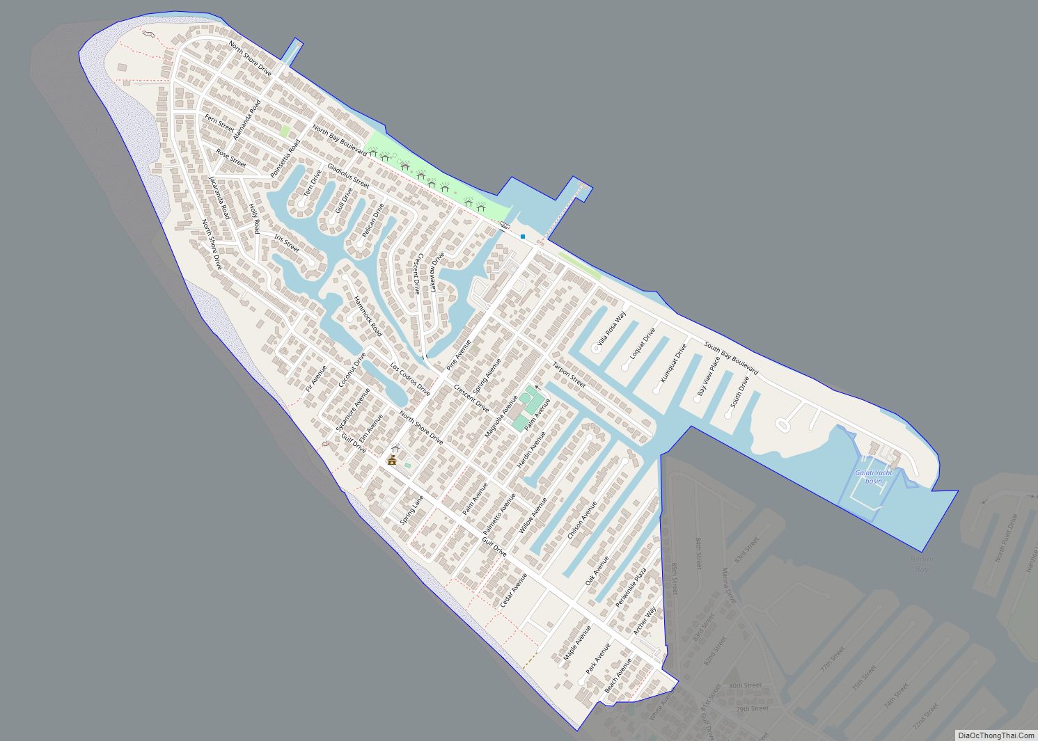
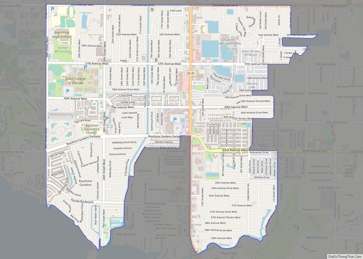
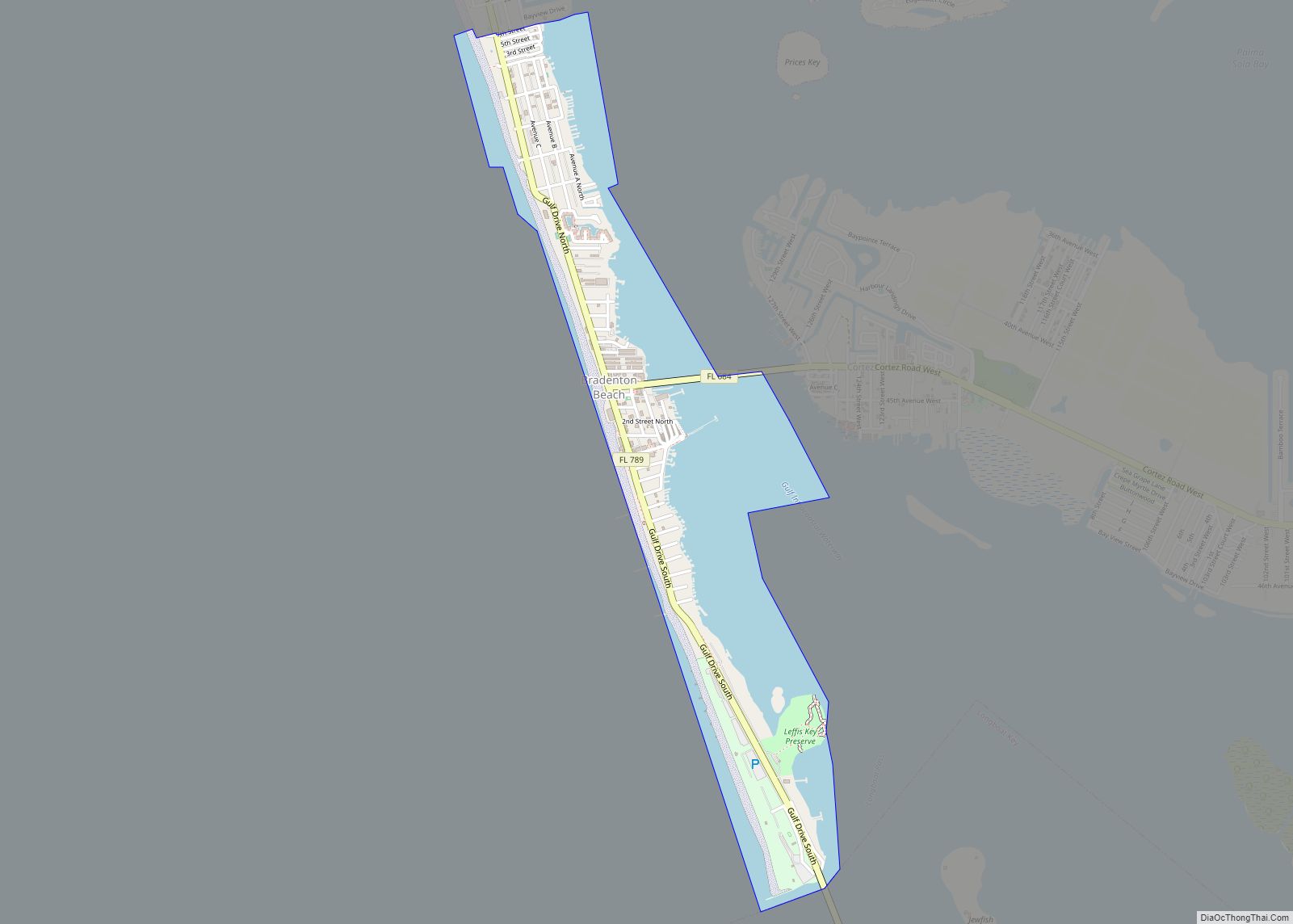
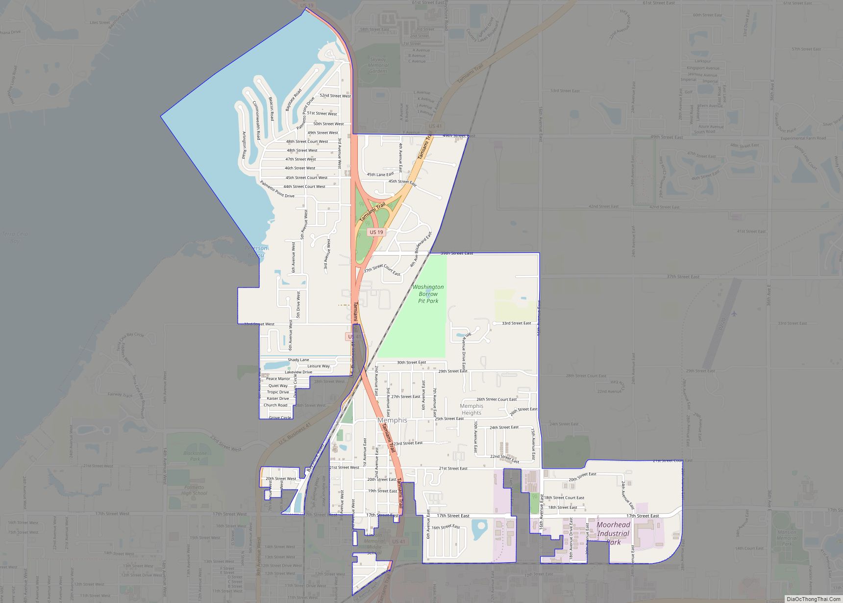
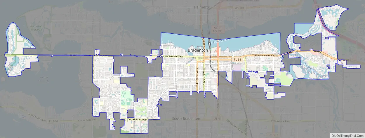
Bradenton Road Map
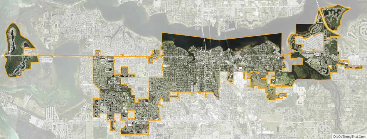
Bradenton city Satellite Map
Geography
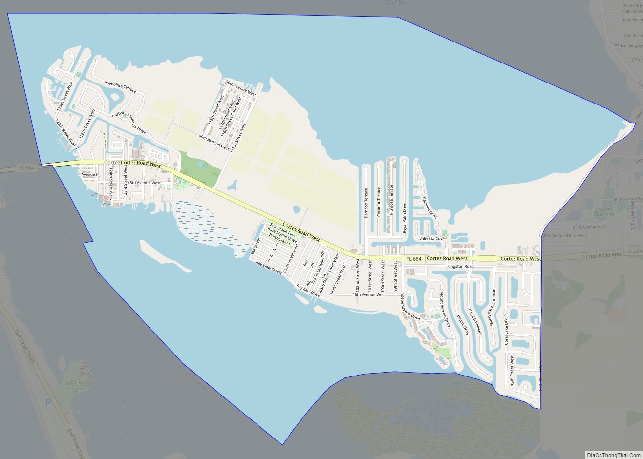
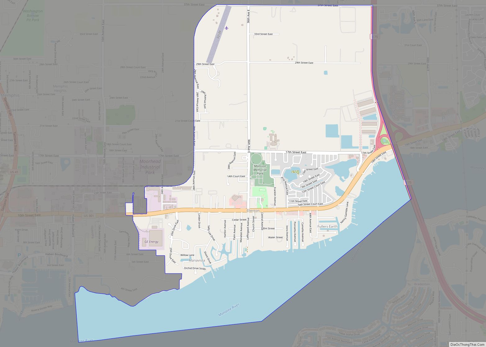
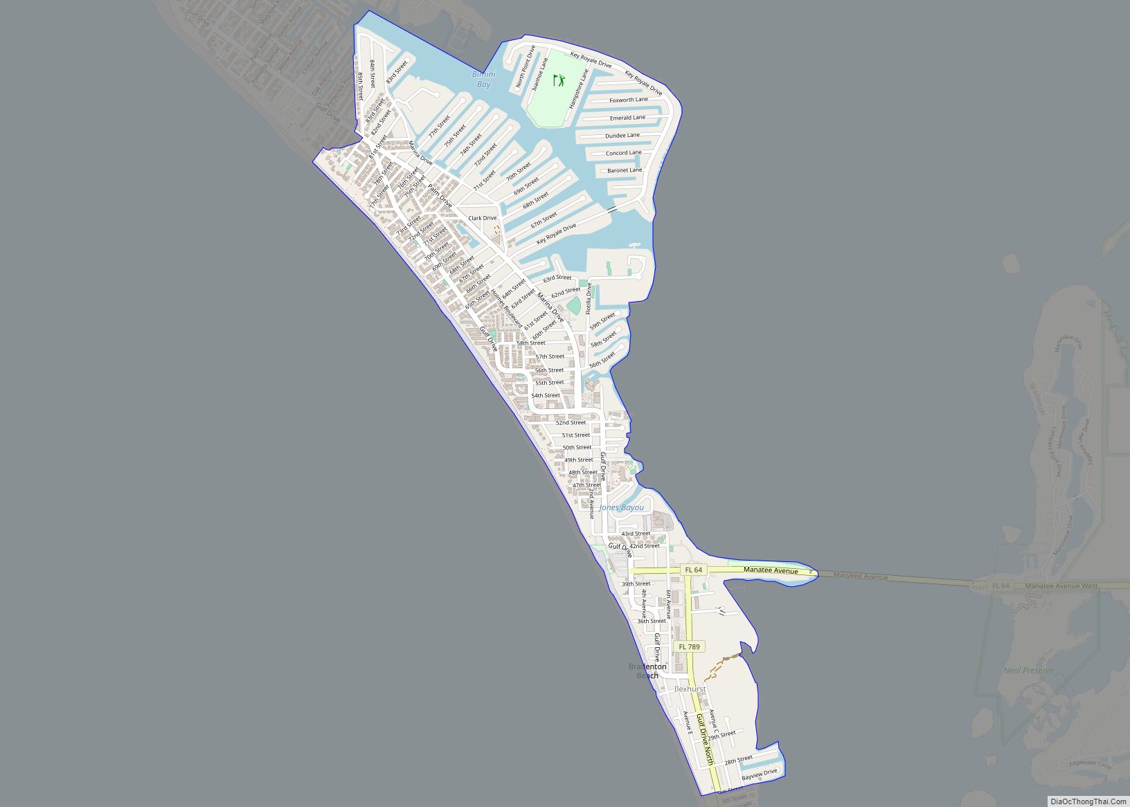
According to the United States Census Bureau, Bradenton has a total area of 14.44 square miles (37.4 km), of which 12.11 square miles (31.4 km) is land and 2.33 square miles (6.0 km) (16.14%) is water.
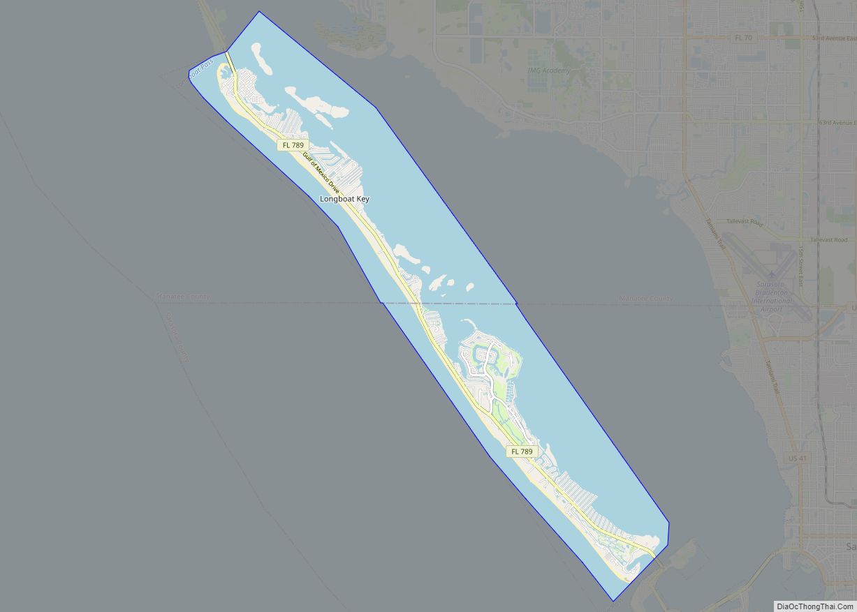
Bradenton is located on US 41 between Tampa and Sarasota. The area is surrounded by waterways, both fresh and saltwater. Along the Gulf of Mexico and into Tampa Bay are over 20 miles (32 km) of Florida beaches, many of which are shaded by Australian pines. Bordered on the north by the Manatee River, Bradenton is located on the mainland and is separated from the outer barrier islands of Anna Maria Island and Longboat Key by the Intracoastal Waterway.
Downtown Bradenton is located in the northwest area of the city. Home to many of Bradenton’s offices and government buildings, the tallest is the Bradenton Financial Center, 12 stories high, with its blue-green windows. The next tallest is the brand new Manatee County Judicial Center with nine floors, located next to the historic courthouse. Other major downtown buildings include the Manatee County Government building and the headquarters of the School Board of Manatee County.
Climate
Bradenton has a typical Central Florida humid subtropical climate (Köppen Cfa) characterized by hot, humid summers and warm winters. Bradenton borders a tropical climate, with only one month (January) having a mean temperature below 64 °F (18 °C), which is the threshold for a tropical climate.
See also
Map of Florida State and its subdivision:- Alachua
- Baker
- Bay
- Bradford
- Brevard
- Broward
- Calhoun
- Charlotte
- Citrus
- Clay
- Collier
- Columbia
- Desoto
- Dixie
- Duval
- Escambia
- Flagler
- Franklin
- Gadsden
- Gilchrist
- Glades
- Gulf
- Hamilton
- Hardee
- Hendry
- Hernando
- Highlands
- Hillsborough
- Holmes
- Indian River
- Jackson
- Jefferson
- Lafayette
- Lake
- Lee
- Leon
- Levy
- Liberty
- Madison
- Manatee
- Marion
- Martin
- Miami-Dade
- Monroe
- Nassau
- Okaloosa
- Okeechobee
- Orange
- Osceola
- Palm Beach
- Pasco
- Pinellas
- Polk
- Putnam
- Saint Johns
- Saint Lucie
- Santa Rosa
- Sarasota
- Seminole
- Sumter
- Suwannee
- Taylor
- Union
- Volusia
- Wakulla
- Walton
- Washington
- Alabama
- Alaska
- Arizona
- Arkansas
- California
- Colorado
- Connecticut
- Delaware
- District of Columbia
- Florida
- Georgia
- Hawaii
- Idaho
- Illinois
- Indiana
- Iowa
- Kansas
- Kentucky
- Louisiana
- Maine
- Maryland
- Massachusetts
- Michigan
- Minnesota
- Mississippi
- Missouri
- Montana
- Nebraska
- Nevada
- New Hampshire
- New Jersey
- New Mexico
- New York
- North Carolina
- North Dakota
- Ohio
- Oklahoma
- Oregon
- Pennsylvania
- Rhode Island
- South Carolina
- South Dakota
- Tennessee
- Texas
- Utah
- Vermont
- Virginia
- Washington
- West Virginia
- Wisconsin
- Wyoming