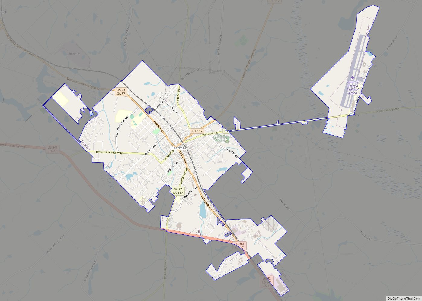
Eastman is a city in Dodge County, Georgia, United States. The population was 4,962 at the 2010 census. The city was named after William Pitt Eastman, a native of Massachusetts who purchased a large tract of land along the Macon to Brunswick Railroad, and settled a city on the site. In the 19th century, this ... Read more
Georgia Cities and Places
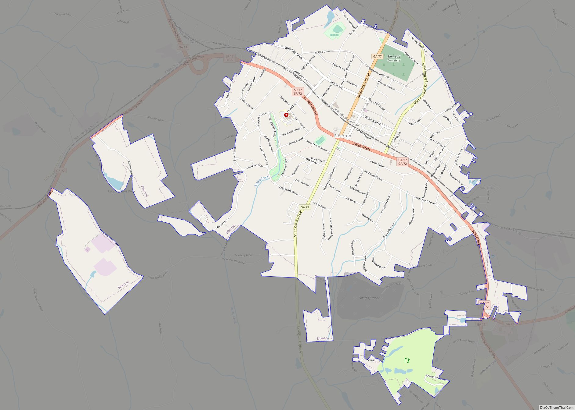
Elberton is the largest city in Elbert County, Georgia, United States. The population was 4,653 at the 2010 census. The city is the county seat of Elbert County. Elberton city overview: Name: Elberton city LSAD Code: 25 LSAD Description: city (suffix) State: Georgia County: Elbert County Elevation: 702 ft (214 m) Total Area: 4.57 sq mi (11.85 km²) Land Area: ... Read more
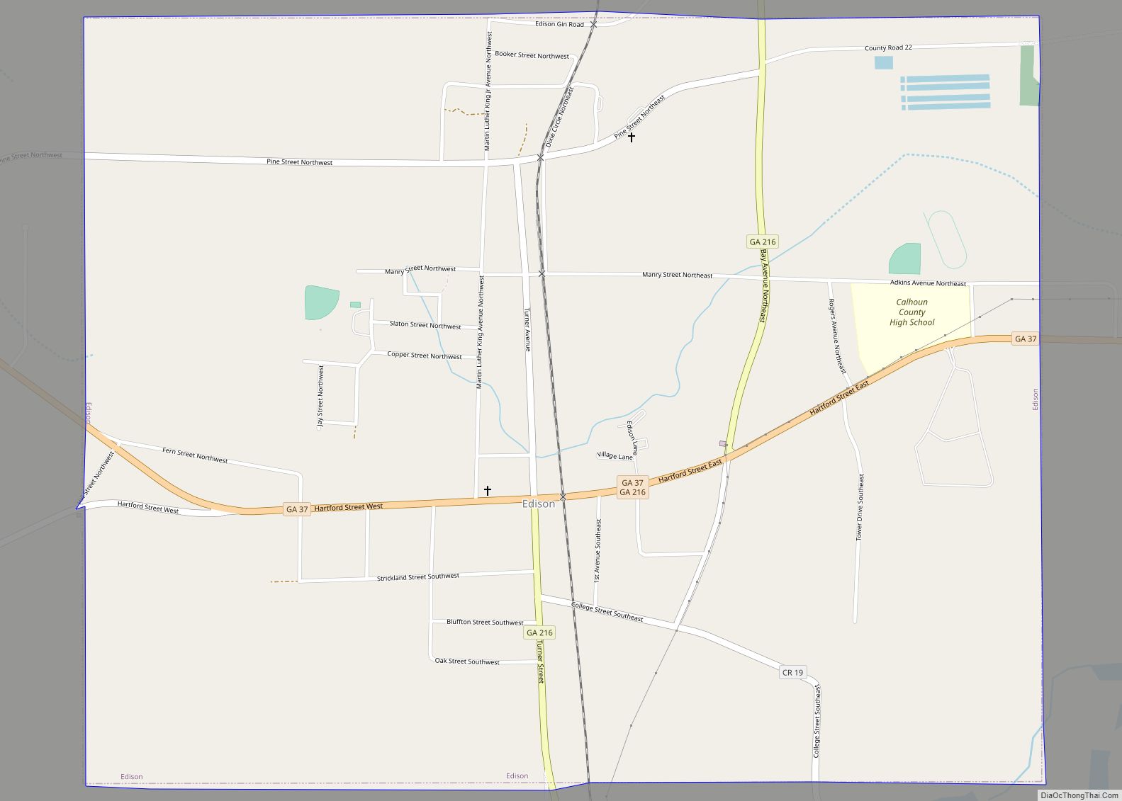
Edison is a city in Calhoun County, Georgia, United States. Per the 2020 census, the population was 1,230. The Edison Commercial Historic District is listed on the National Register of Historic Places. Edison city overview: Name: Edison city LSAD Code: 25 LSAD Description: city (suffix) State: Georgia County: Calhoun County Elevation: 292 ft (89 m) Total Area: ... Read more
Edge Hill (stylized as Edgehill on some tourism material) is a city in Glascock County, Georgia, United States. The population was 24 at the 2010 census. It is the smallest incorporated city in Georgia by population and ties for the smallest incorporated city in Georgia by area. Edge Hill city overview: Name: Edge Hill city ... Read more
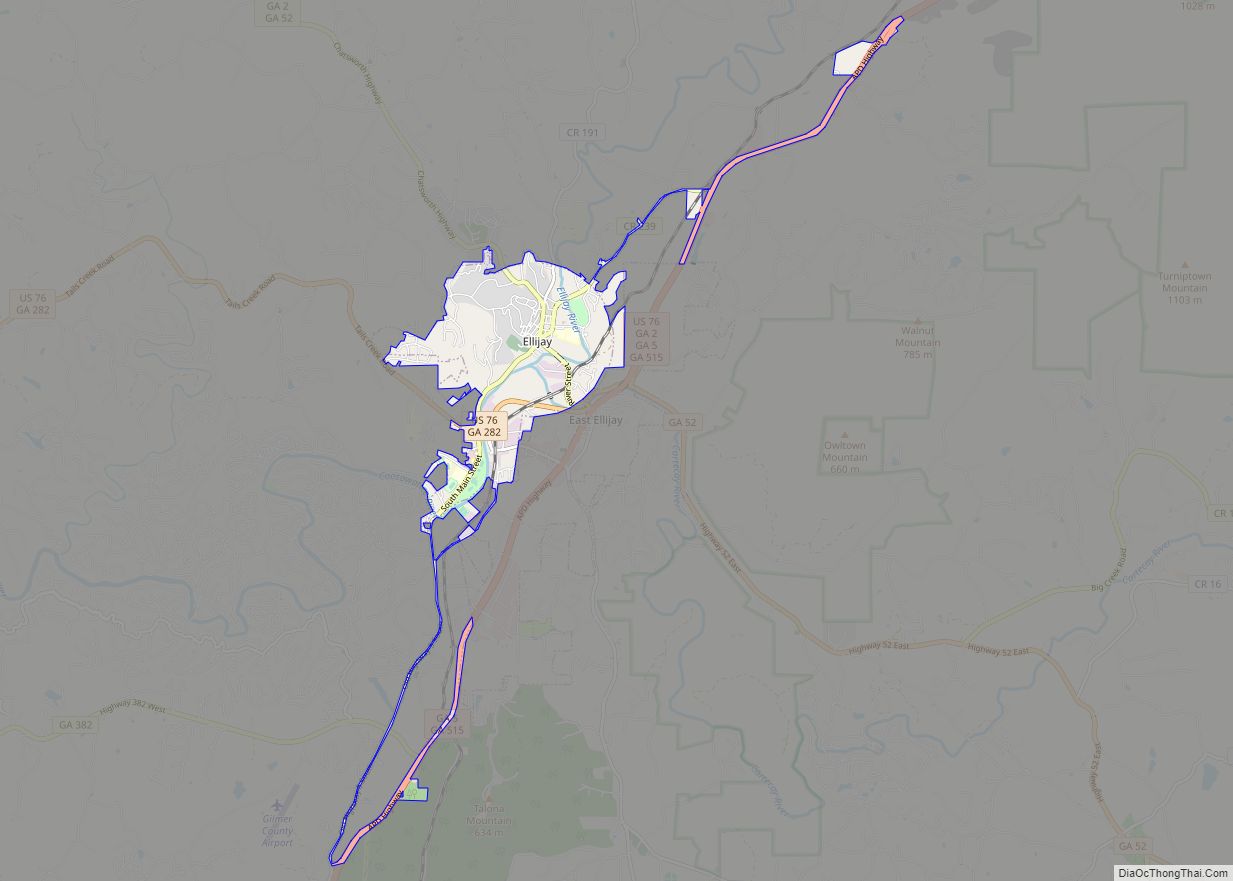
Ellijay is a city in Gilmer County, Georgia, United States. The population was 1,619 at the 2010 census. The city is the county seat of Gilmer County. Agriculture is important in Gilmer County, known as the “Apple Capital of Georgia.” The city holds an annual Georgia Apple Festival in October. Former President Jimmy Carter and ... Read more
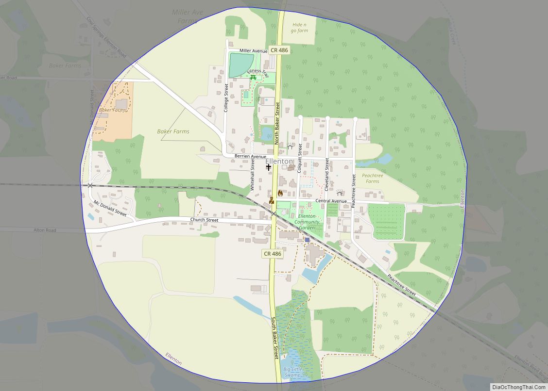
Ellenton is a town in Colquitt County, Georgia, United States. Its population was 281 at the 2010 census. It was incorporated in 1970 by the Georgia General Assembly. It is located at 31°10′36″N 83°35′17″W / 31.17667°N 83.58806°W / 31.17667; -83.58806 (31.176563, -83.588016). According to the United States Census Bureau, it has an area of 0.8 ... Read more
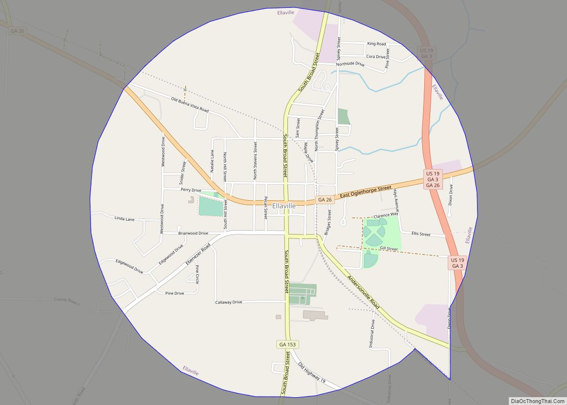
Ellaville is a city in Schley County, Georgia, United States. The population was 1,812 at the 2010 census. The city is the county seat of Schley County. Ellaville is part of the Americus Micropolitan Statistical Area. Ellaville city overview: Name: Ellaville city LSAD Code: 25 LSAD Description: city (suffix) State: Georgia County: Schley County Elevation: ... Read more
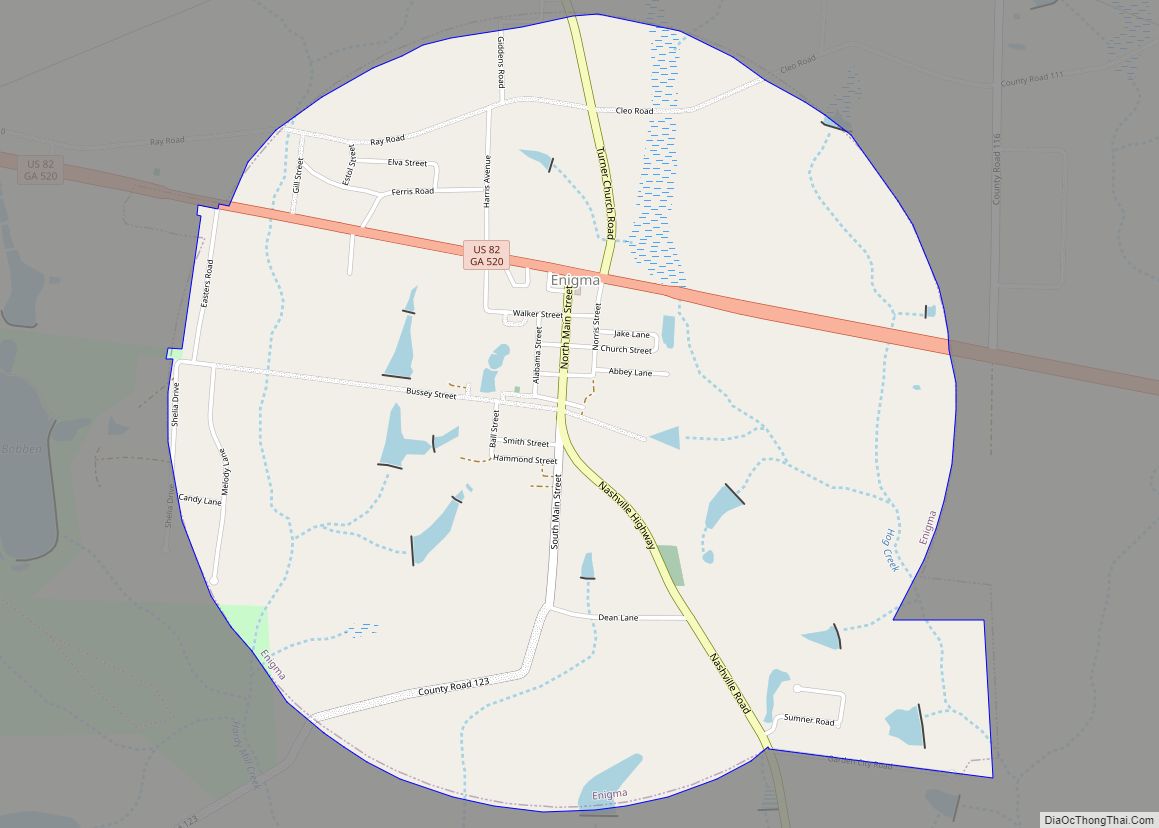
Enigma is a town in Berrien County, Georgia, United States. The population was 1,278 at the 2010 census. The origin of the name “Enigma” is obscure; the name is itself an enigma. Enigma has frequently been noted on lists of unusual place names. Enigma town overview: Name: Enigma town LSAD Code: 43 LSAD Description: town ... Read more
Empire is an unincorporated community and census-designated place in Dodge and Bleckley counties in the U.S. state of Georgia. As of the 2020 census, the CDP had a population of 319. Empire CDP overview: Name: Empire CDP LSAD Code: 57 LSAD Description: CDP (suffix) State: Georgia County: Bleckley County, Dodge County Elevation: 386 ft (118 m) Total ... Read more
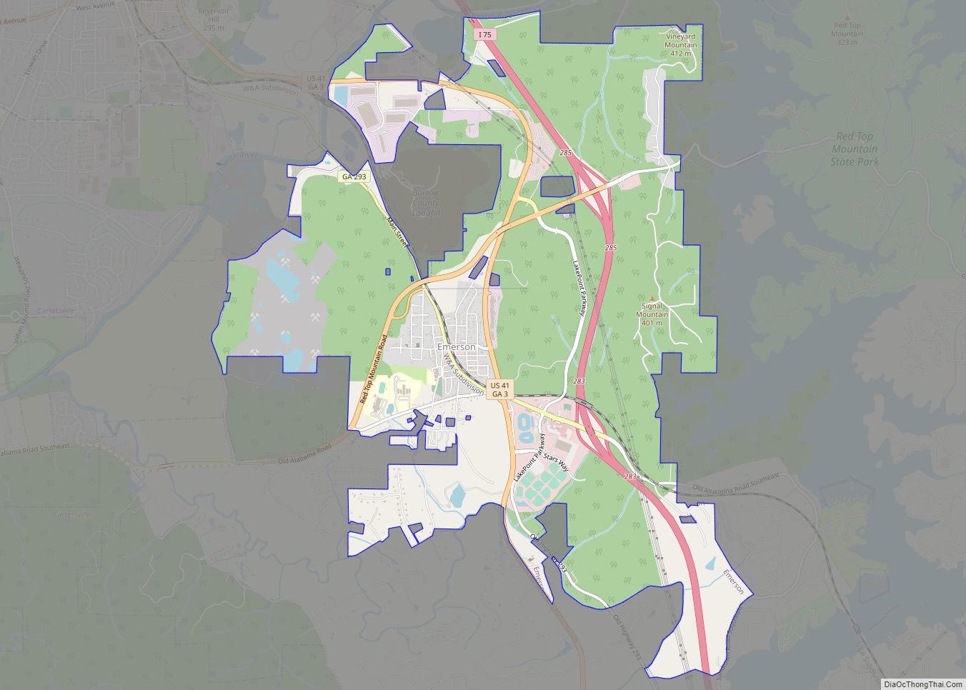
Emerson is a city in far southern Bartow County, Georgia, United States, on highways US-41, GA-293, and I-75. The population was 1,470 at the 2010 census, an increase of 34% over the 2000 count of 1,092. Emerson is a gateway to Red Top Mountain State Park, a Georgia state park, which is surrounded by Lake ... Read more
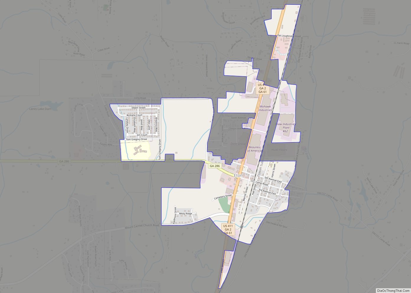
Eton is a town in Murray County, Georgia, United States. It is part of the Dalton, Georgia Metropolitan Statistical Area. The population was 824 at the 2020 census, down from 910 in 2010. Eton city overview: Name: Eton city LSAD Code: 25 LSAD Description: city (suffix) State: Georgia County: Murray County Elevation: 748 ft (228 m) Total ... Read more
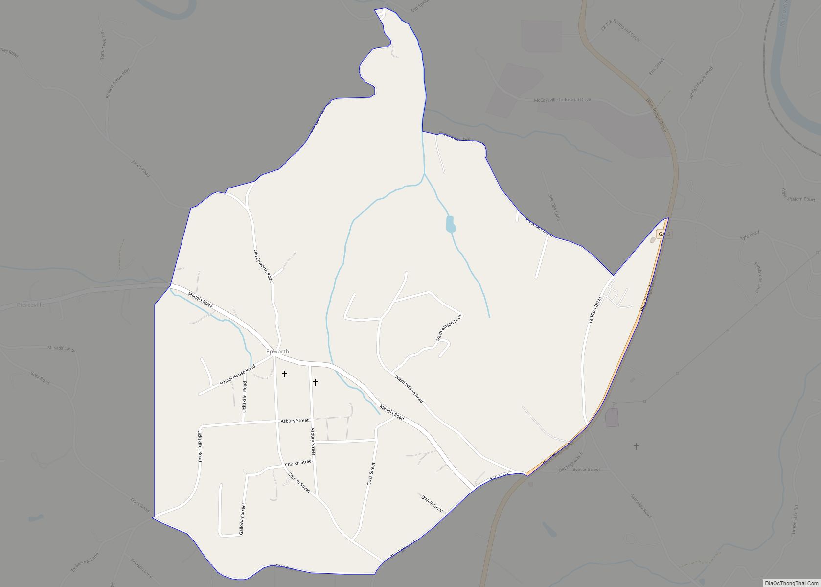
Coordinates: 34°57′02″N 84°23′06″W / 34.950637°N 84.384923°W / 34.950637; -84.384923 Epworth is an unincorporated community and census-designated place (CDP) in Fannin County, Georgia, United States. As of the 2010 census it had a population of 480. It lies at an elevation of 1,703 feet (519 m) in the north-central part of the county. A former name was ... Read more
