Ellaville is a city in Schley County, Georgia, United States. The population was 1,812 at the 2010 census. The city is the county seat of Schley County.
Ellaville is part of the Americus Micropolitan Statistical Area.
| Name: | Ellaville city |
|---|---|
| LSAD Code: | 25 |
| LSAD Description: | city (suffix) |
| State: | Georgia |
| County: | Schley County |
| Elevation: | 571 ft (174 m) |
| Total Area: | 3.18 sq mi (8.22 km²) |
| Land Area: | 3.16 sq mi (8.19 km²) |
| Water Area: | 0.01 sq mi (0.04 km²) |
| Total Population: | 1,595 |
| Population Density: | 504.75/sq mi (194.86/km²) |
| ZIP code: | 31806 |
| Area code: | 229 |
| FIPS code: | 1326980 |
| GNISfeature ID: | 0355674 |
| Website: | www.ellavillega.org |
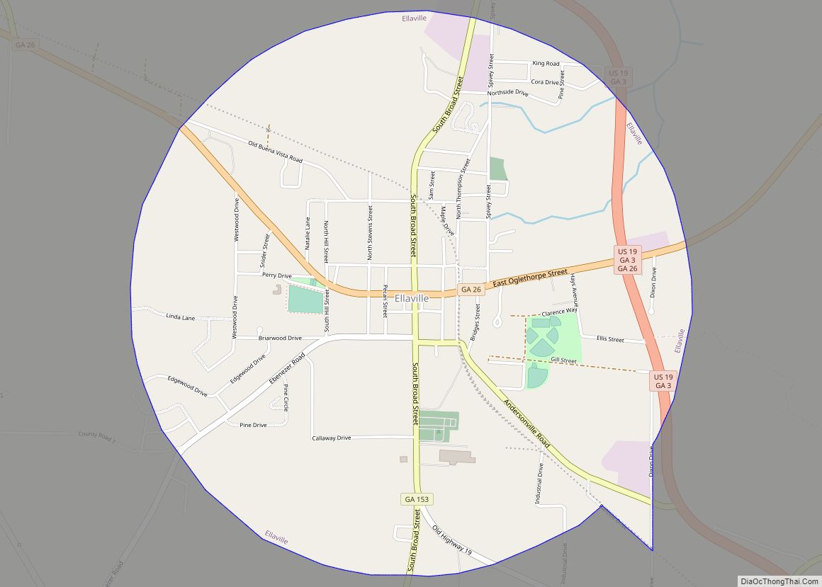
Online Interactive Map
Click on ![]() to view map in "full screen" mode.
to view map in "full screen" mode.
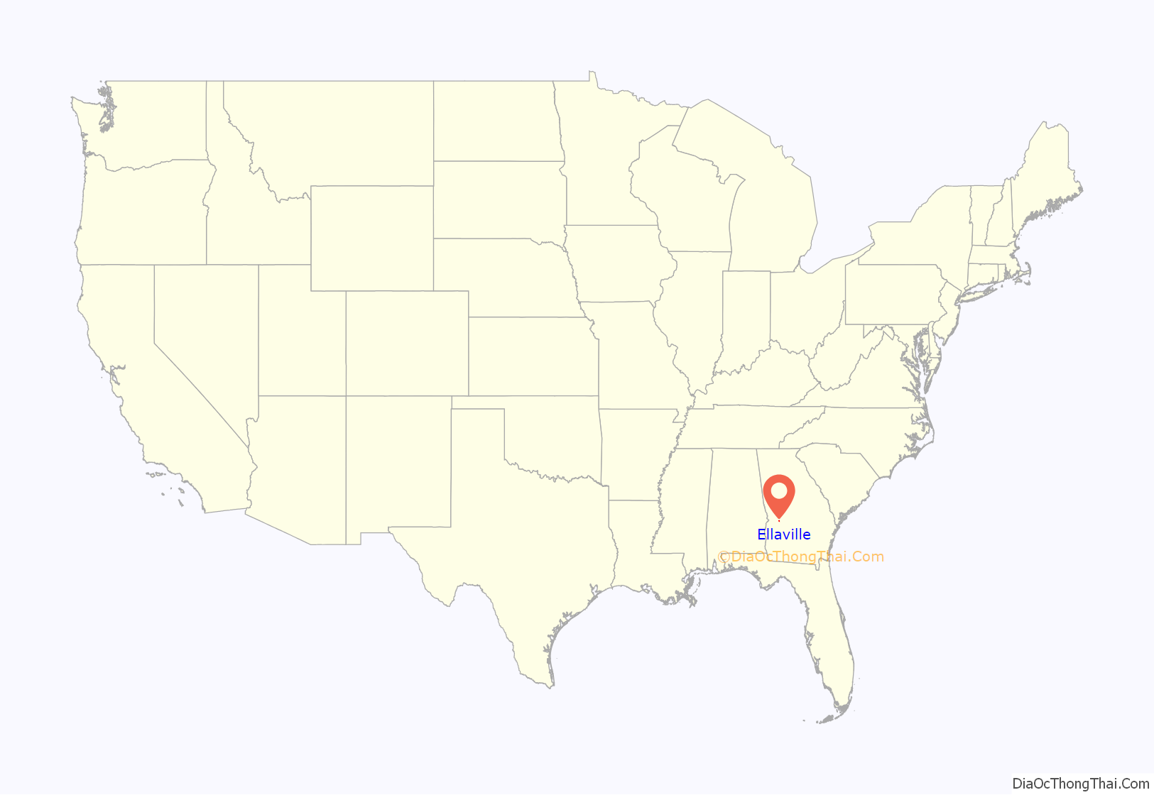
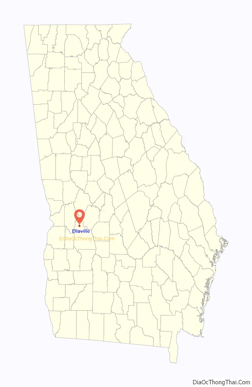
Ellaville location map. Where is Ellaville city?
History
A town named Pond Town was established in 1812 along the stage coach in the area that is now the location of the Ellaville City Cemetery. The area was then part of the lands belonging to the Muscogee (Creek) Nation. In 1821, after the Treaty of Indian Springs the area became part of the state of Georgia. In 1826, it served as temporary county seat for Lee County upon the creation of the then vast county. Pond Town soon became a lively town noted for horse racing and whiskey. In 1831, the area became part of Sumter County.
Ellaville was founded in 1857 as county seat of the newly formed Schley County. It was incorporated as a town in 1859. The community was named after the daughter of a first settler.
Lynchings
- The hanging of Charles Blackman occurred in Ellaville, Georgia, on January 25, 1889
- In January 1911 a white man died in a Black owned store. He was taken for his own safety to Columbus for three months but when he returned three months later a mob 200 strong lynched Dawson Jordan, Charles Pickett, and Murray Burton as well as burning down three black lodges, a church and a school.
- October 1912, a prisoner seized from the Sumter County sheriff near Oglethorpe was hung from a bridge and shot dead
- June 1913, twenty-four-year-old Will Redding was dragged from the Ellaville’s city jail strung up on a street corner and riddled with bullets.
- Will Jones was lynched in Ellaville, Georgia by a white mob on February 13, 1922.
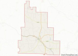
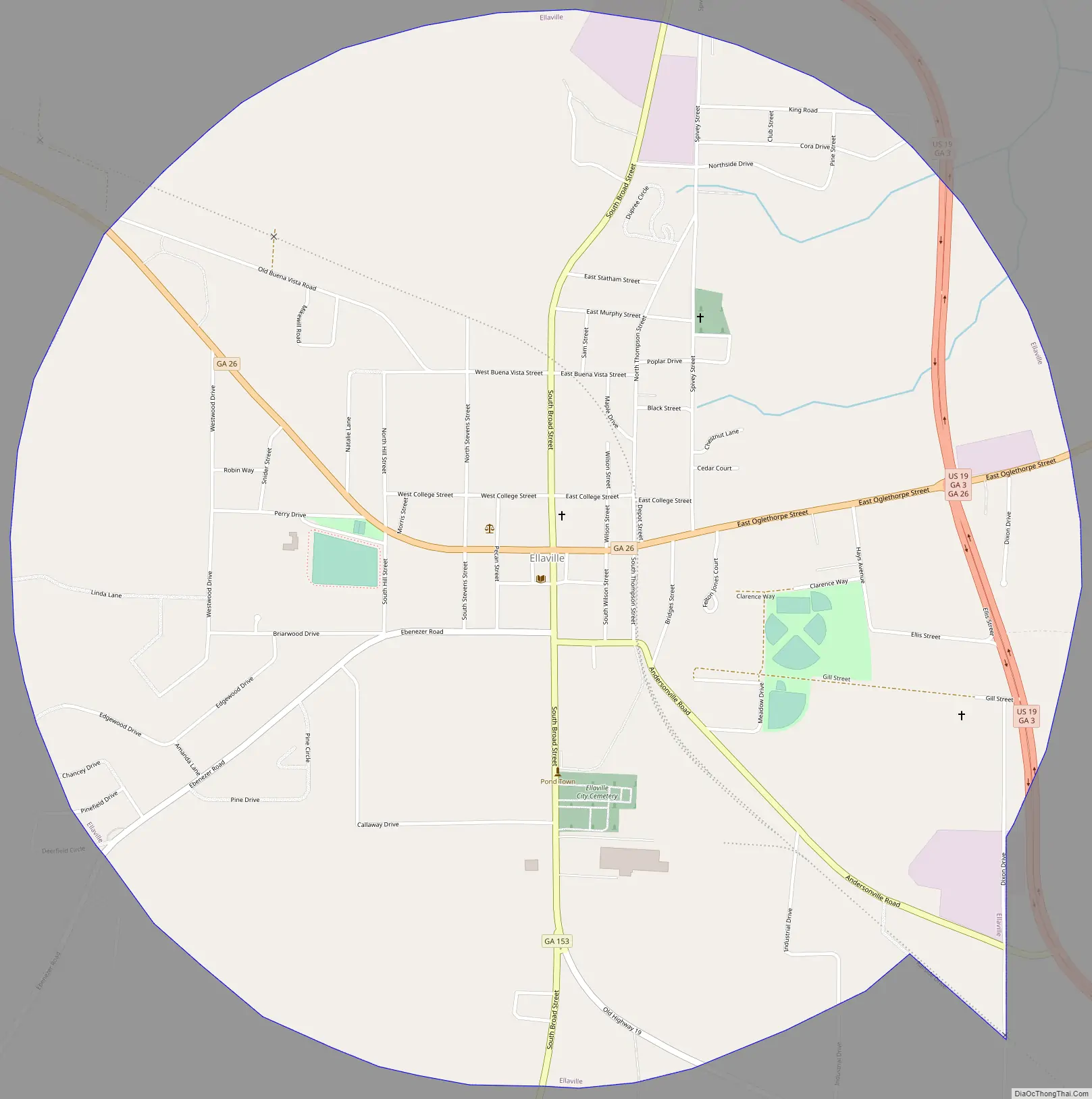
Ellaville Road Map
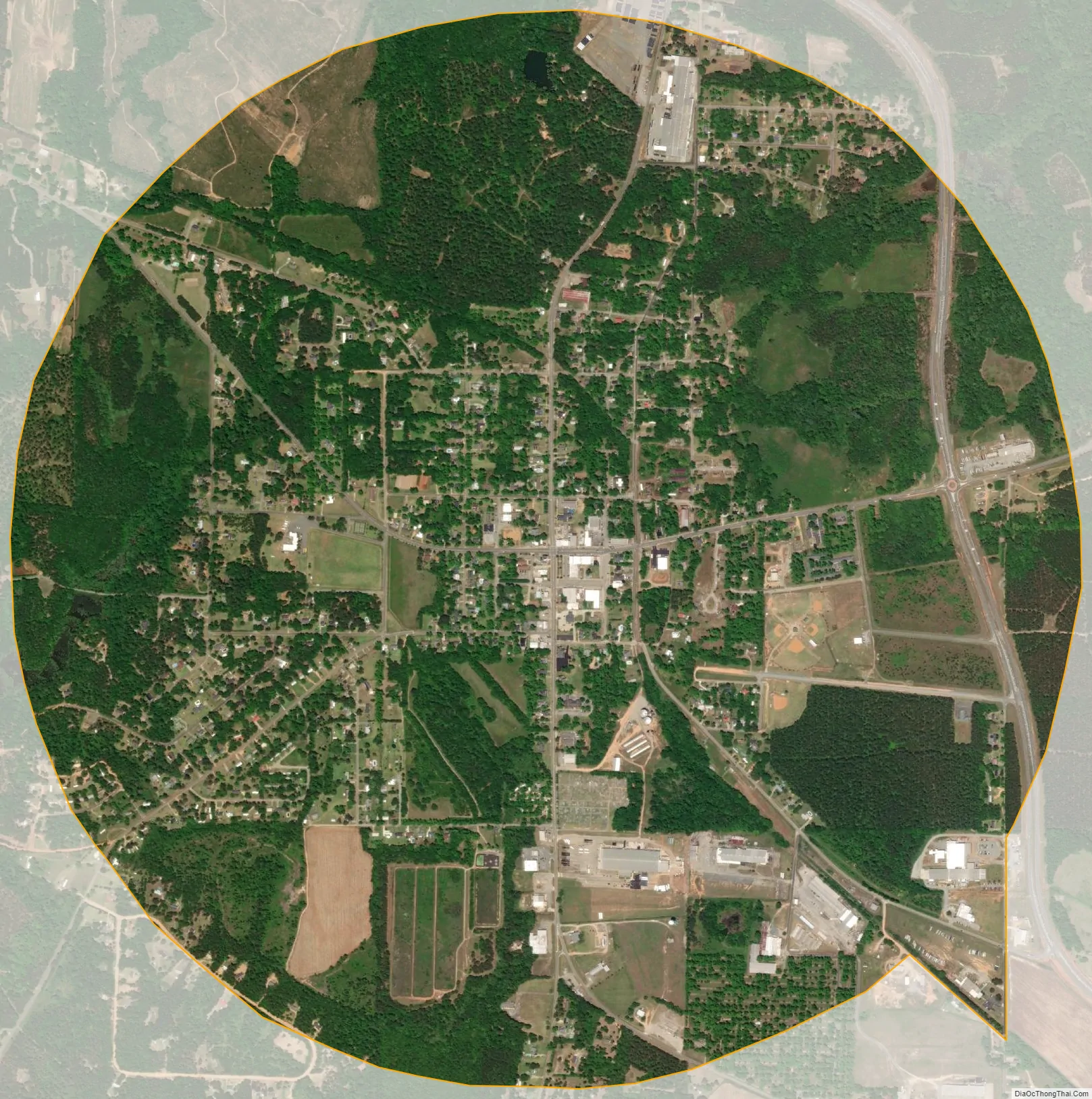
Ellaville city Satellite Map
Geography
According to the United States Census Bureau, the city has a total area of 3.2 square miles (8.3 km), all land.
See also
Map of Georgia State and its subdivision:- Appling
- Atkinson
- Bacon
- Baker
- Baldwin
- Banks
- Barrow
- Bartow
- Ben Hill
- Berrien
- Bibb
- Bleckley
- Brantley
- Brooks
- Bryan
- Bulloch
- Burke
- Butts
- Calhoun
- Camden
- Candler
- Carroll
- Catoosa
- Charlton
- Chatham
- Chattahoochee
- Chattooga
- Cherokee
- Clarke
- Clay
- Clayton
- Clinch
- Cobb
- Coffee
- Colquitt
- Columbia
- Cook
- Coweta
- Crawford
- Crisp
- Dade
- Dawson
- Decatur
- DeKalb
- Dodge
- Dooly
- Dougherty
- Douglas
- Early
- Echols
- Effingham
- Elbert
- Emanuel
- Evans
- Fannin
- Fayette
- Floyd
- Forsyth
- Franklin
- Fulton
- Gilmer
- Glascock
- Glynn
- Gordon
- Grady
- Greene
- Gwinnett
- Habersham
- Hall
- Hancock
- Haralson
- Harris
- Hart
- Heard
- Henry
- Houston
- Irwin
- Jackson
- Jasper
- Jeff Davis
- Jefferson
- Jenkins
- Johnson
- Jones
- Lamar
- Lanier
- Laurens
- Lee
- Liberty
- Lincoln
- Long
- Lowndes
- Lumpkin
- Macon
- Madison
- Marion
- McDuffie
- McIntosh
- Meriwether
- Miller
- Mitchell
- Monroe
- Montgomery
- Morgan
- Murray
- Muscogee
- Newton
- Oconee
- Oglethorpe
- Paulding
- Peach
- Pickens
- Pierce
- Pike
- Polk
- Pulaski
- Putnam
- Quitman
- Rabun
- Randolph
- Richmond
- Rockdale
- Schley
- Screven
- Seminole
- Spalding
- Stephens
- Stewart
- Sumter
- Talbot
- Taliaferro
- Tattnall
- Taylor
- Telfair
- Terrell
- Thomas
- Tift
- Toombs
- Towns
- Treutlen
- Troup
- Turner
- Twiggs
- Union
- Upson
- Walker
- Walton
- Ware
- Warren
- Washington
- Wayne
- Webster
- Wheeler
- White
- Whitfield
- Wilcox
- Wilkes
- Wilkinson
- Worth
- Alabama
- Alaska
- Arizona
- Arkansas
- California
- Colorado
- Connecticut
- Delaware
- District of Columbia
- Florida
- Georgia
- Hawaii
- Idaho
- Illinois
- Indiana
- Iowa
- Kansas
- Kentucky
- Louisiana
- Maine
- Maryland
- Massachusetts
- Michigan
- Minnesota
- Mississippi
- Missouri
- Montana
- Nebraska
- Nevada
- New Hampshire
- New Jersey
- New Mexico
- New York
- North Carolina
- North Dakota
- Ohio
- Oklahoma
- Oregon
- Pennsylvania
- Rhode Island
- South Carolina
- South Dakota
- Tennessee
- Texas
- Utah
- Vermont
- Virginia
- Washington
- West Virginia
- Wisconsin
- Wyoming