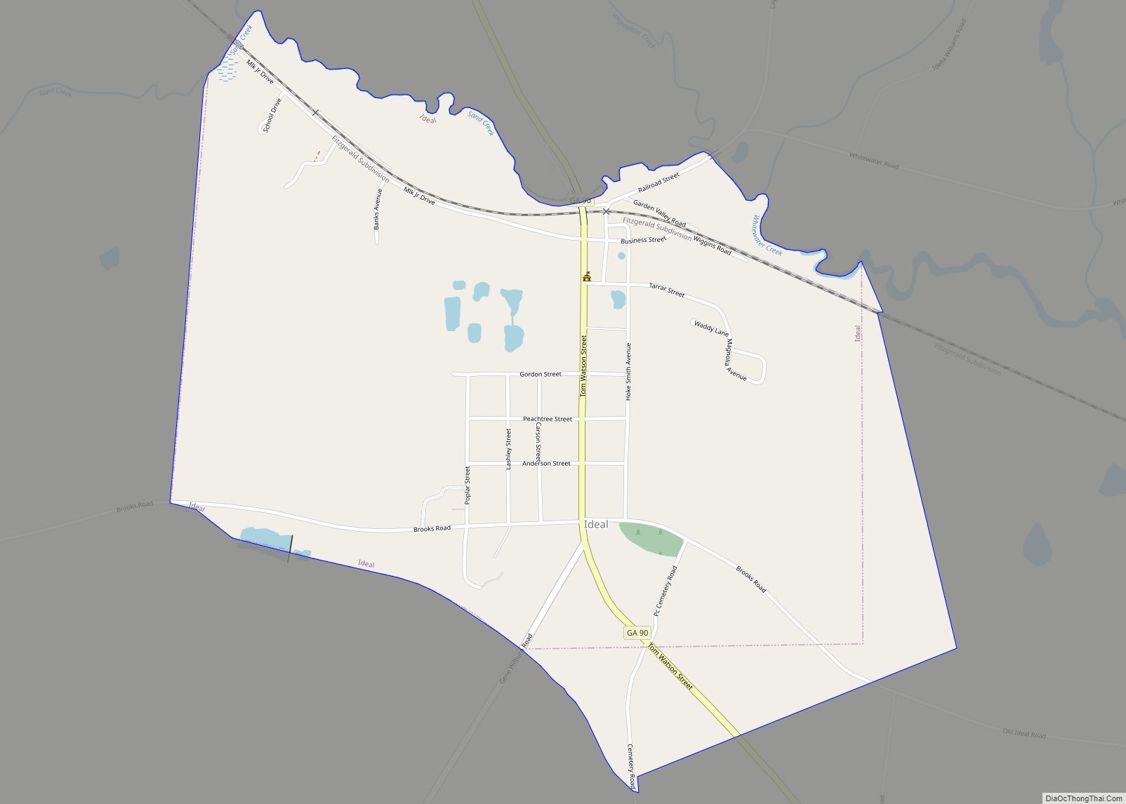
Ideal is a city in Macon County, Georgia, United States. The population was 407 at the 2020 census, down from 499 in 2010. Ideal city overview: Name: Ideal city LSAD Code: 25 LSAD Description: city (suffix) State: Georgia County: Macon County Elevation: 482 ft (147 m) Total Area: 1.15 sq mi (2.99 km²) Land Area: 1.14 sq mi (2.96 km²) Water Area: 0.01 sq mi ... Read more
Georgia Cities and Places
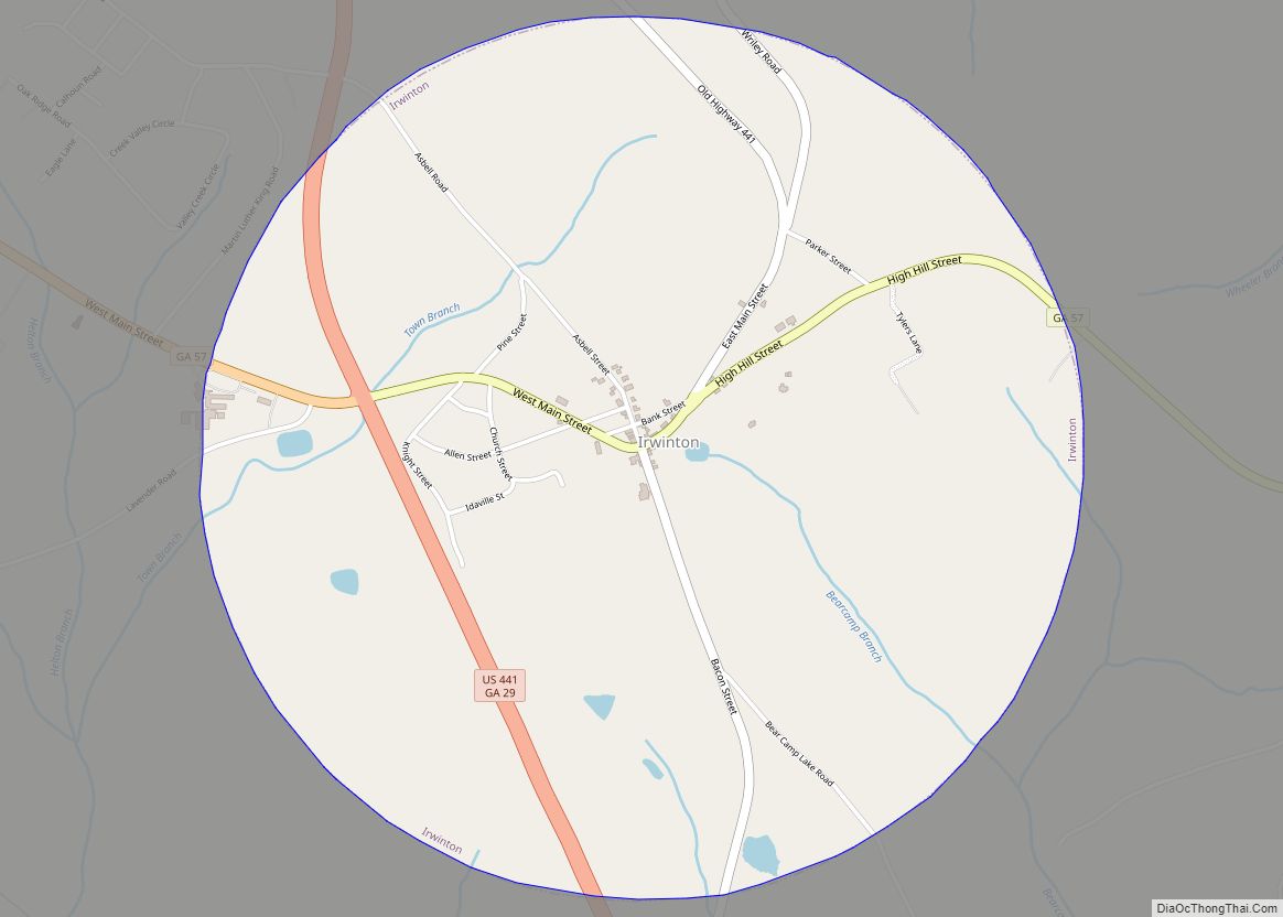
Irwinton is a city in Wilkinson County, Georgia, United States. The population was 589 at the 2010 census. The city is the county seat of Wilkinson County. Irwinton city overview: Name: Irwinton city LSAD Code: 25 LSAD Description: city (suffix) State: Georgia County: Wilkinson County Elevation: 450 ft (136 m) Total Area: 3.15 sq mi (8.15 km²) Land Area: 3.15 sq mi ... Read more
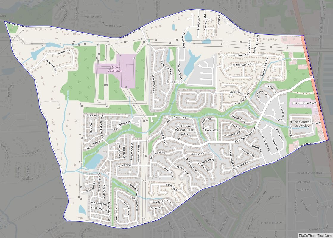
Irondale is a census-designated place (CDP) in Clayton County, Georgia, United States. The population was 8,740 at the 2020 census. Irondale CDP overview: Name: Irondale CDP LSAD Code: 57 LSAD Description: CDP (suffix) State: Georgia County: Clayton County Elevation: 837 ft (255 m) Total Area: 3.20 sq mi (8.29 km²) Land Area: 3.16 sq mi (8.17 km²) Water Area: 0.05 sq mi (0.12 km²) Total Population: ... Read more
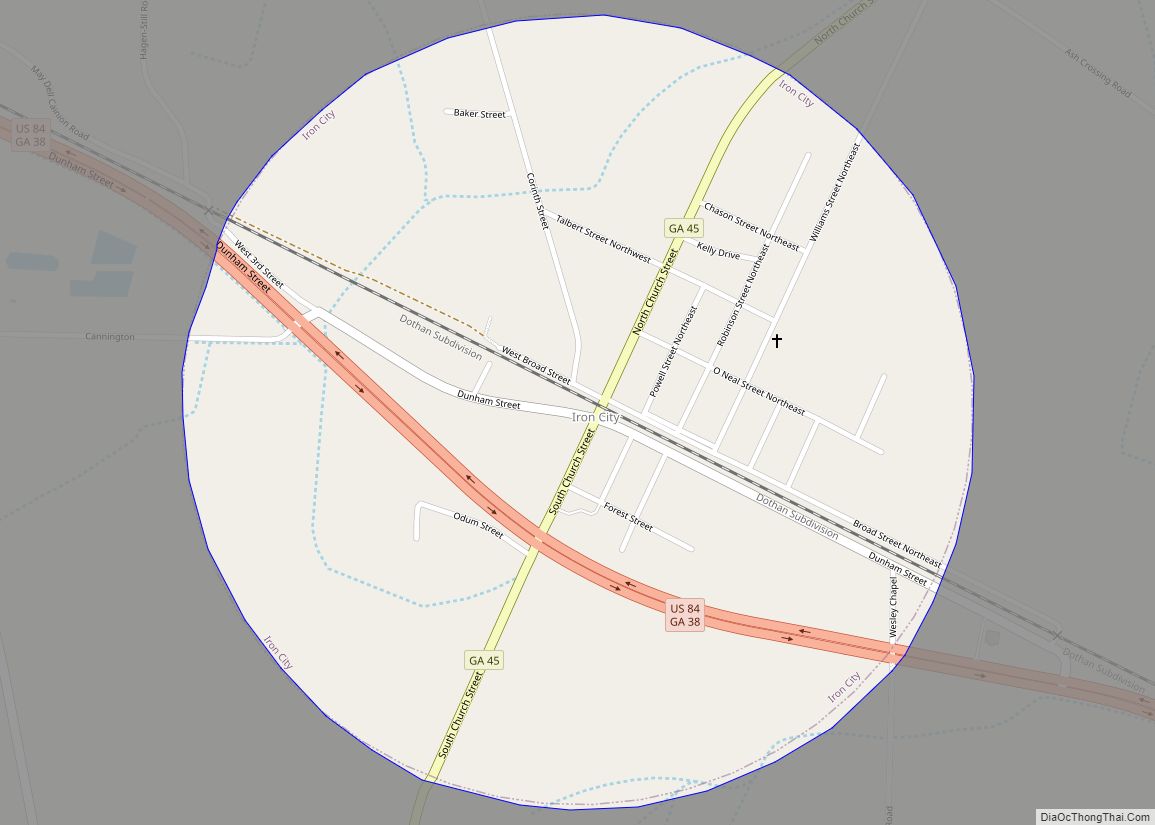
Iron City is a town in Seminole County, Georgia, United States. The population was 310 at the 2010 census. Iron City town overview: Name: Iron City town LSAD Code: 43 LSAD Description: town (suffix) State: Georgia County: Seminole County Elevation: 144 ft (44 m) Total Area: 0.80 sq mi (2.07 km²) Land Area: 0.80 sq mi (2.07 km²) Water Area: 0.00 sq mi (0.00 km²) Total ... Read more
Jackson is a city in and the county seat of Butts County, Georgia, United States. The population was 5,045 in 2010, up from 3,934 at the 2000 census. The community was named after governor James Jackson. Jackson city overview: Name: Jackson city LSAD Code: 25 LSAD Description: city (suffix) State: Georgia County: Butts County Elevation: ... Read more
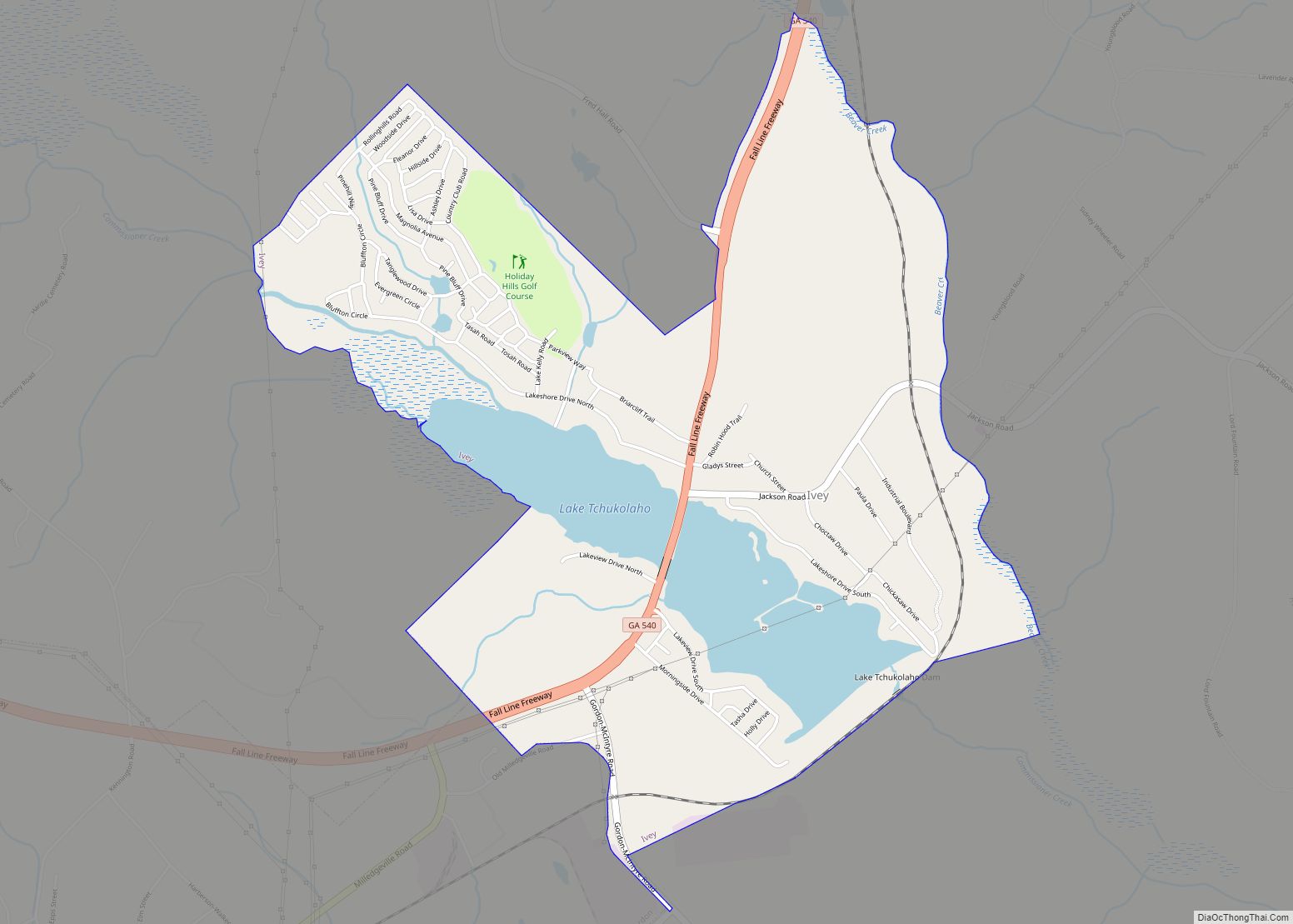
Ivey is a town in Wilkinson County, Georgia, United States. The population was 981 at the 2010 census. Ivey city overview: Name: Ivey city LSAD Code: 25 LSAD Description: city (suffix) State: Georgia County: Wilkinson County Elevation: 358 ft (109 m) Total Area: 3.02 sq mi (7.81 km²) Land Area: 2.59 sq mi (6.71 km²) Water Area: 0.42 sq mi (1.10 km²) Total Population: 1,037 Population ... Read more
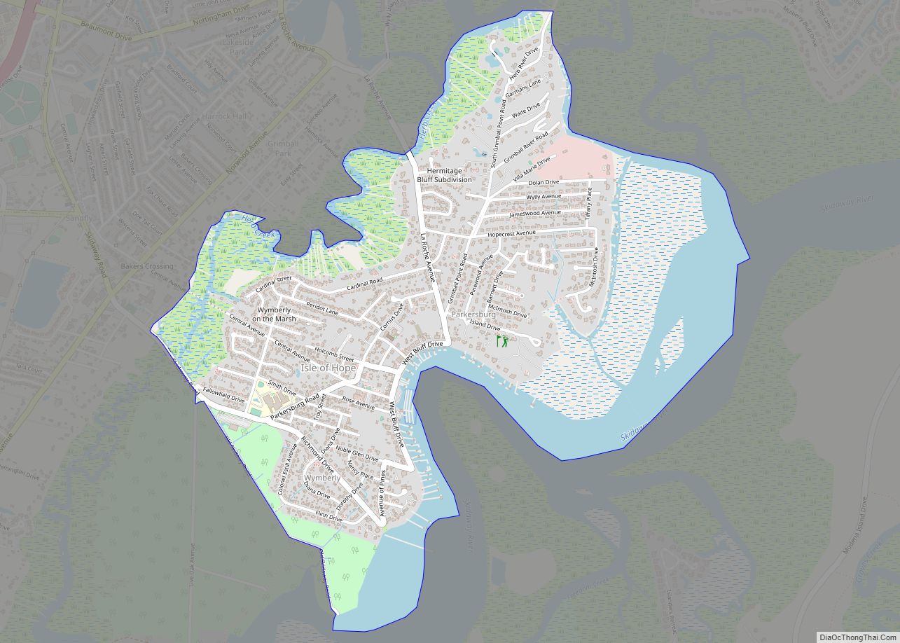
Isle of Hope is a census-designated place (CDP) in Chatham County, Georgia, United States. It is part of the Savannah Metropolitan Statistical Area, and at the 2020 U.S. census its population was 2,357. The island is one of the most affluent communities in the state and is well known for its historic plantations and exclusive ... Read more
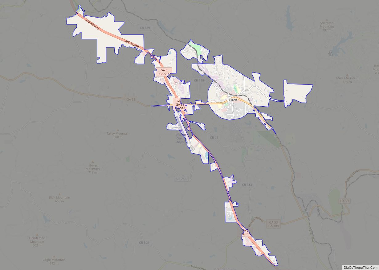
Jasper is a city in Pickens County, Georgia, United States. The population was 3,684 at the 2010 census. The city is the county seat of Pickens County. Jasper city overview: Name: Jasper city LSAD Code: 25 LSAD Description: city (suffix) State: Georgia County: Pickens County Elevation: 1,463 ft (446 m) Total Area: 8.56 sq mi (22.16 km²) Land Area: 8.56 sq mi ... Read more
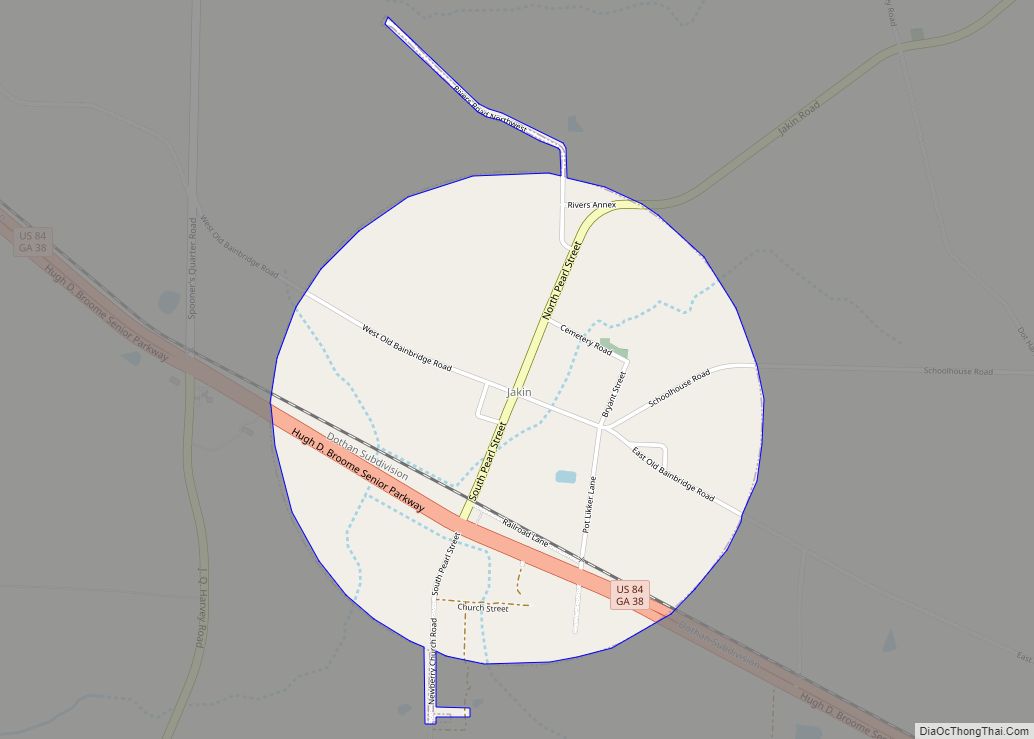
Jakin is a city in Early County, Georgia, United States. Incorporated in 1895, Jakin’s population was 155 at the 2010 census. Jakin city overview: Name: Jakin city LSAD Code: 25 LSAD Description: city (suffix) State: Georgia County: Early County Elevation: 144 ft (44 m) Total Area: 1.24 sq mi (3.21 km²) Land Area: 1.24 sq mi (3.21 km²) Water Area: 0.00 sq mi (0.00 km²) Total ... Read more
Jacksonville is a town in Telfair County, Georgia, United States. The population was 140 at the 2010 census. Jacksonville city overview: Name: Jacksonville city LSAD Code: 25 LSAD Description: city (suffix) State: Georgia County: Telfair County Elevation: 207 ft (63 m) Total Area: 1.12 sq mi (2.89 km²) Land Area: 1.09 sq mi (2.81 km²) Water Area: 0.03 sq mi (0.08 km²) Total Population: 111 Population ... Read more
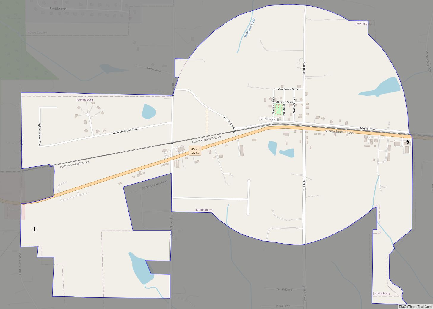
Jenkinsburg is a city in Butts County, Georgia, United States. The population was 370 at the 2010 census. Jenkinsburg city overview: Name: Jenkinsburg city LSAD Code: 25 LSAD Description: city (suffix) State: Georgia County: Butts County Elevation: 764 ft (233 m) Total Area: 1.30 sq mi (3.38 km²) Land Area: 1.30 sq mi (3.37 km²) Water Area: 0.00 sq mi (0.01 km²) Total Population: 391 Population ... Read more
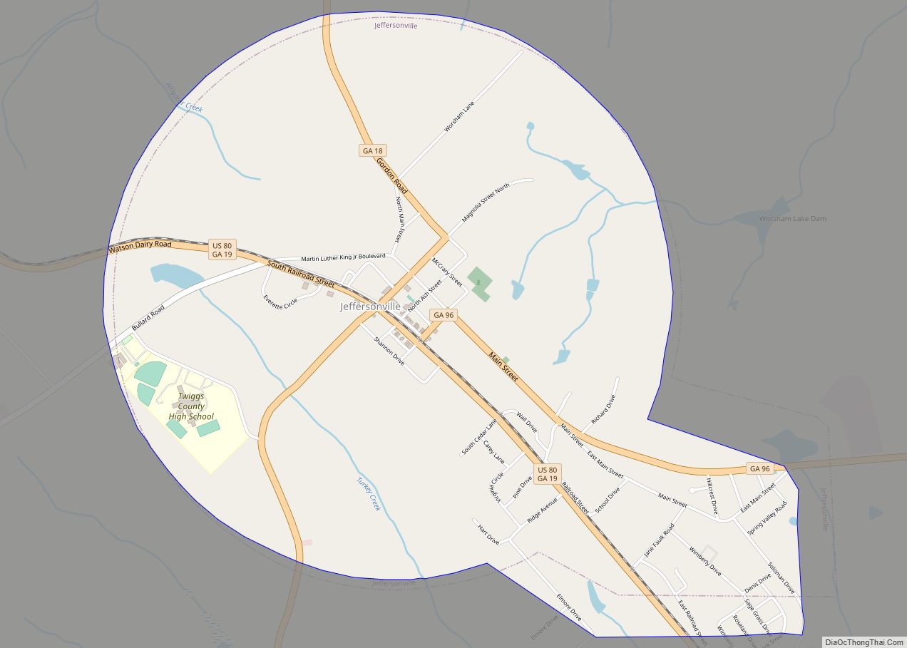
The city of Jeffersonville is the largest city and county seat of Twiggs County, Georgia, United States. The population was 1,035 at the 2010 census, down from 1,209 in 2000. Jeffersonville is part of the Macon Metropolitan Statistical Area. Jeffersonville city overview: Name: Jeffersonville city LSAD Code: 25 LSAD Description: city (suffix) State: Georgia County: ... Read more
