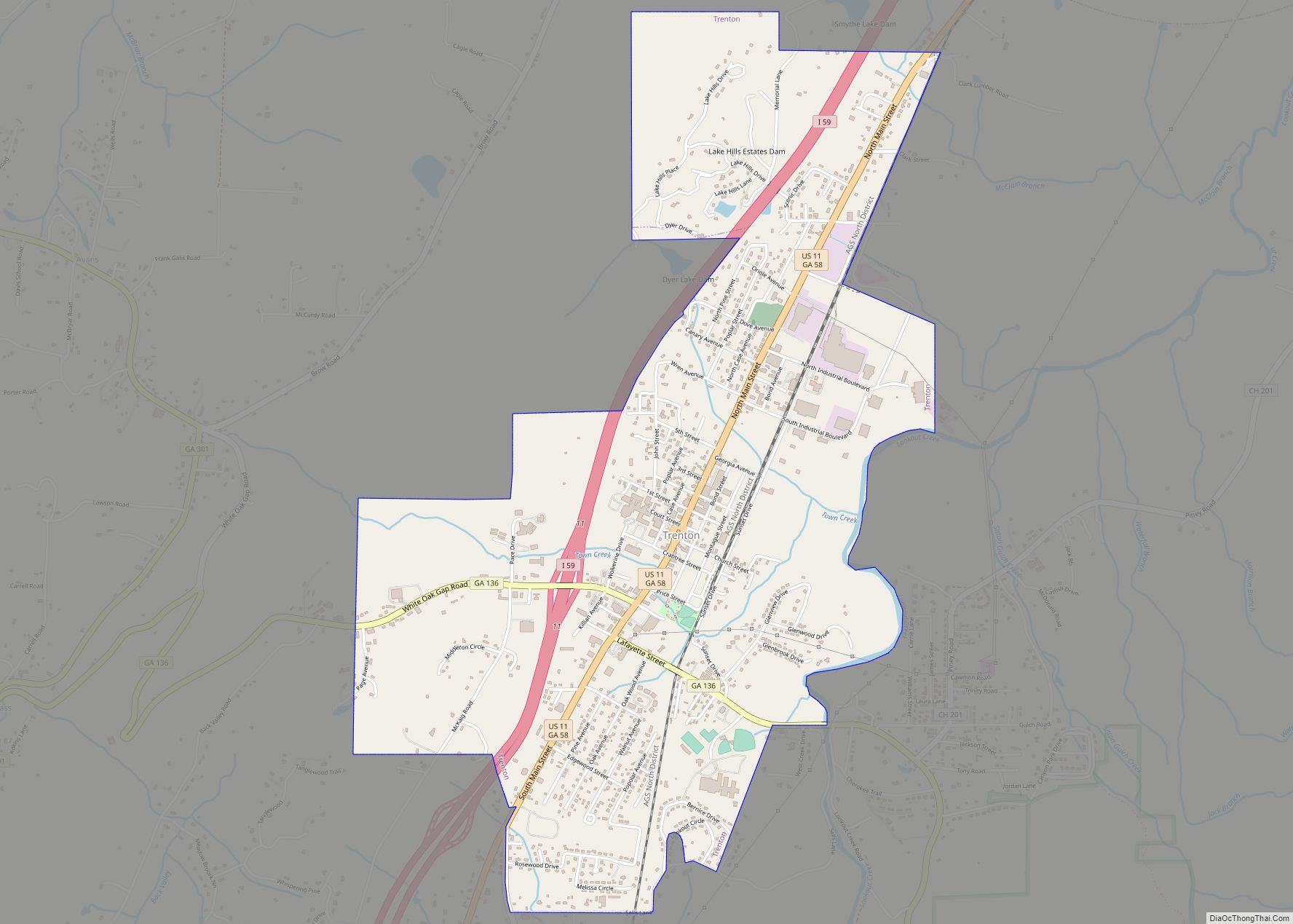
Trenton /trɛntɪn/ is a city and the only incorporated municipality in Dade County, Georgia, United States—and as such, it serves as the county seat. The population was 2,195 at the 2020 census. Trenton is part of the Chattanooga, Tennessee–GA Metropolitan Statistical Area. Trenton city overview: Name: Trenton city LSAD Code: 25 LSAD Description: city (suffix) ... Read more
Georgia Cities and Places
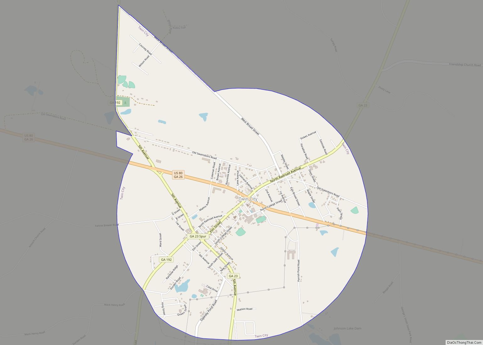
Twin City is a city in Emanuel County, Georgia, United States. As of the 2020 census, the city had a population of 1,642. Twin City city overview: Name: Twin City city LSAD Code: 25 LSAD Description: city (suffix) State: Georgia County: Emanuel County Elevation: 308 ft (94 m) Total Area: 3.61 sq mi (9.36 km²) Land Area: 3.57 sq mi (9.26 km²) Water ... Read more
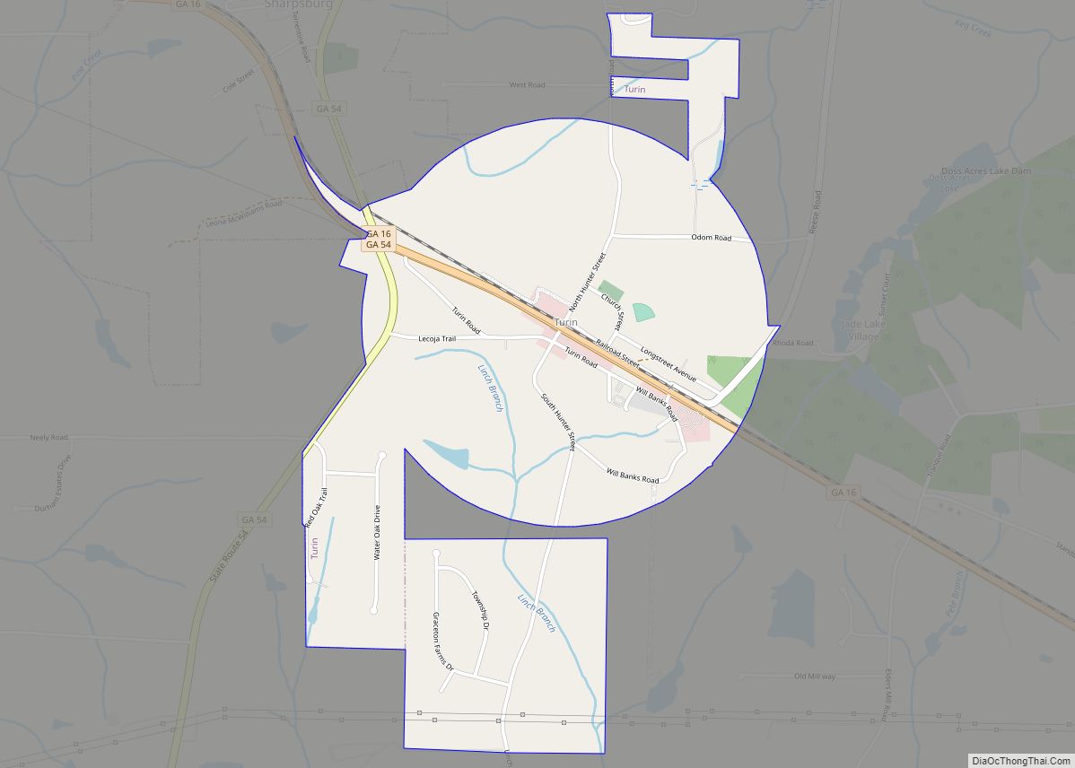
Turin is a town in Coweta County, Georgia, United States. The population was 274 at the 2010 census. It is part of the Atlanta metropolitan area. Turin town overview: Name: Turin town LSAD Code: 43 LSAD Description: town (suffix) State: Georgia County: Coweta County Elevation: 906 ft (276 m) Total Area: 1.60 sq mi (4.15 km²) Land Area: 1.59 sq mi (4.13 km²) ... Read more
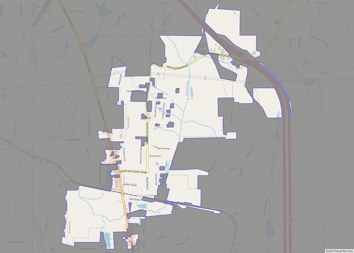
Tunnel Hill is a town in northwest Whitfield County and southern Catoosa County, Georgia, United States. It is part of the Dalton Metropolitan Statistical Area. The population was 963 at the 2020 census. The town is named for the Chetoogeta Mountain Tunnel, a 1,497-foot (456 m) railroad tunnel built in the late 1840s. Tunnel Hill city ... Read more
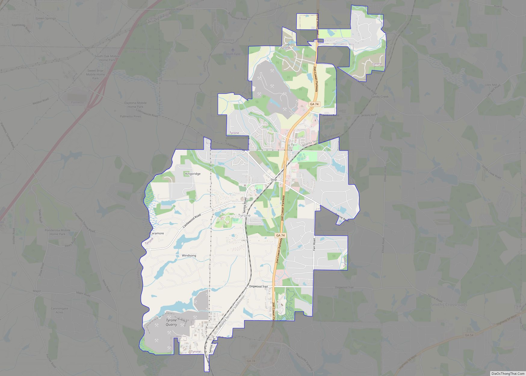
Tyrone is a town in Fayette County, Georgia, United States. The population was 6,879 at the 2010 census, up from 3,916 in 2000. The estimated population in 2018 was 7,388. It is a part of the Atlanta metropolitan area. Tyrone town overview: Name: Tyrone town LSAD Code: 43 LSAD Description: town (suffix) State: Georgia County: ... Read more
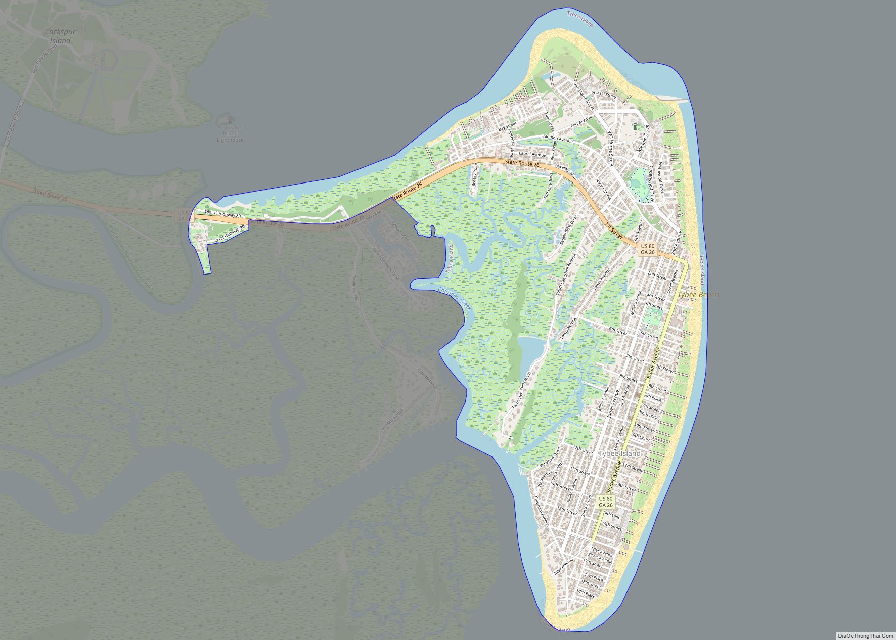
Tybee Island is a city and a barrier island located in Chatham County, Georgia, 18 miles (29 km) east of Savannah, United States. Though the name “Tybee Island” is used for both the island and the city, geographically they are not identical: only part of the island’s territory lies within the city. The island is the ... Read more
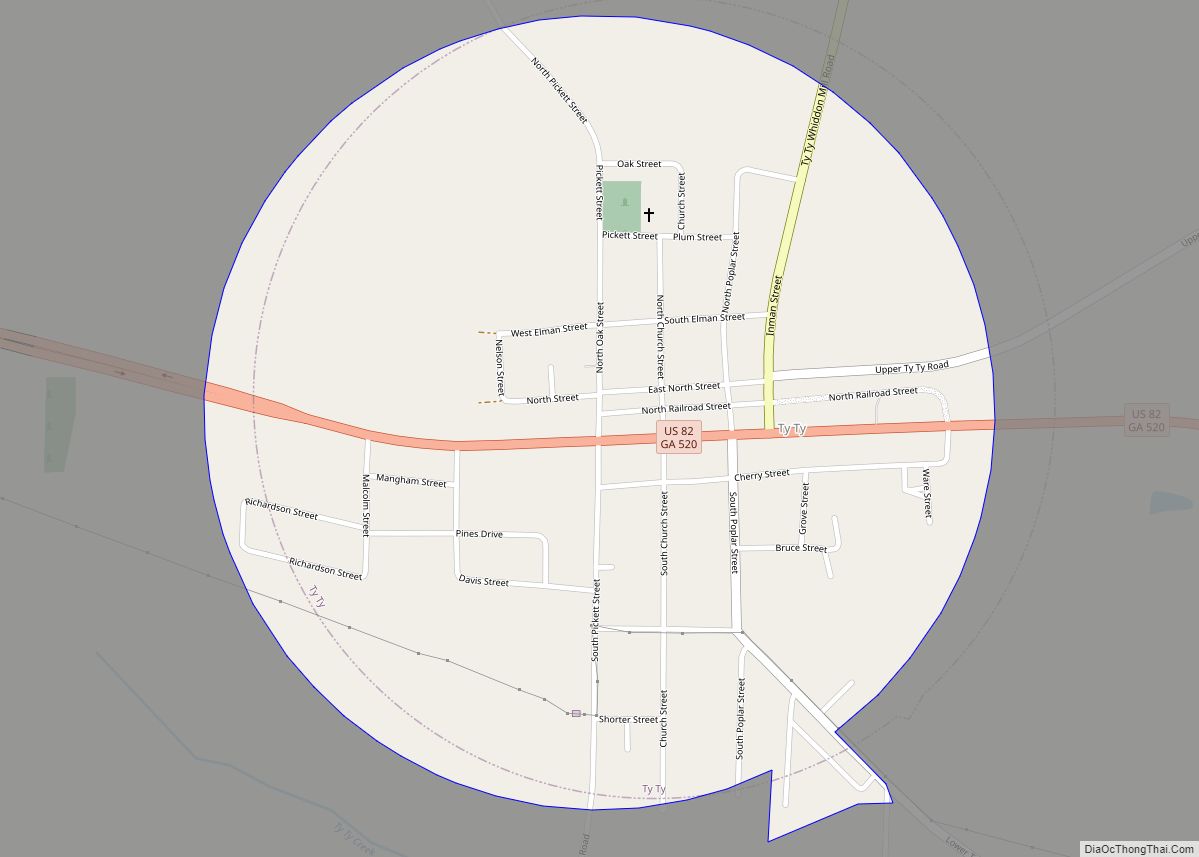
Ty Ty is a city in Tift County, Georgia, United States. The population was 725 at the 2010 census. The community takes its name from nearby Ty Ty Creek. Ty Ty city overview: Name: Ty Ty city LSAD Code: 25 LSAD Description: city (suffix) State: Georgia County: Tift County Elevation: 315 ft (96 m) Total Area: 0.80 sq mi ... Read more
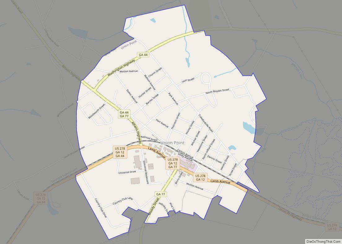
Union Point is a city in Greene County, Georgia, United States. As of the 2020 census, the city population was 1,597. Union Point city overview: Name: Union Point city LSAD Code: 25 LSAD Description: city (suffix) State: Georgia County: Greene County Elevation: 673 ft (205 m) Total Area: 2.00 sq mi (5.19 km²) Land Area: 1.97 sq mi (5.11 km²) Water Area: 0.03 sq mi ... Read more
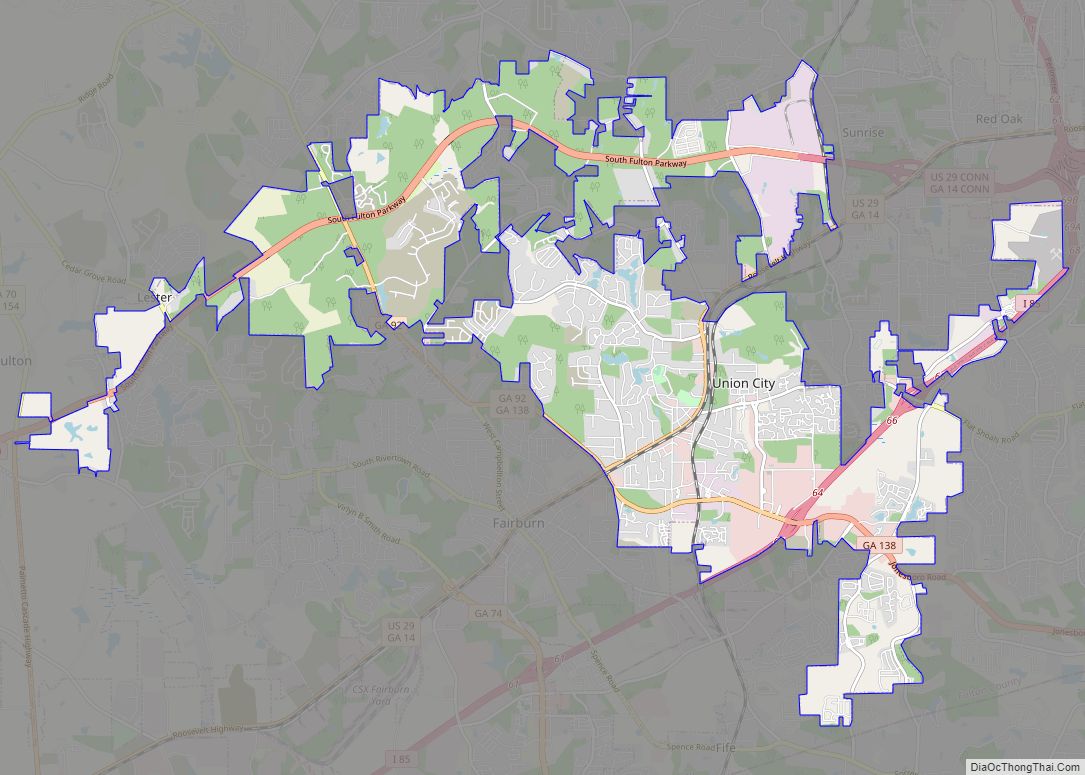
Union City is a city in Fulton County, Georgia, United States. The population was 19,456 at the 2010 census. Union City city overview: Name: Union City city LSAD Code: 25 LSAD Description: city (suffix) State: Georgia County: Fulton County Elevation: 971 ft (296 m) Total Area: 19.83 sq mi (51.37 km²) Land Area: 19.68 sq mi (50.96 km²) Water Area: 0.16 sq mi (0.41 km²) Total ... Read more
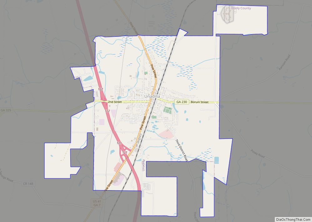
Unadilla is a city in Dooly County, Georgia, United States. The population was 3,796 at the 2010 census, up from 2,772 in 2000. Dooly State Prison is located in the northeast corner of the city. Unadilla city overview: Name: Unadilla city LSAD Code: 25 LSAD Description: city (suffix) State: Georgia County: Dooly County Elevation: 427 ft ... Read more
Valdosta is a city in and the county seat of Lowndes County, Georgia, United States. As of 2019, Valdosta had an estimated population of 56,457. Valdosta is the principal city of the Valdosta Metropolitan Statistical Area, which in 2021 had a population of 149,590. It includes Brooks County to the west. Valdosta is the home ... Read more
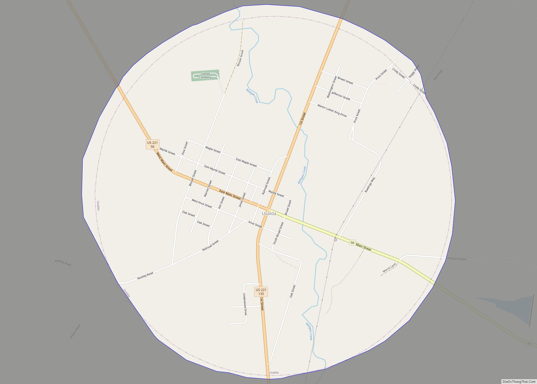
Uvalda is a city in Montgomery County, Georgia, United States. The population was 439 at the 2020 census, down from 598 in 2010. It is part of the Vidalia Micropolitan Statistical Area. Uvalda city overview: Name: Uvalda city LSAD Code: 25 LSAD Description: city (suffix) State: Georgia County: Montgomery County Elevation: 177 ft (54 m) Total Area: ... Read more
